Hoopeston (/ˈhʊpstən/) is a city in Grant Township, Vermilion County, Illinois, United States. As of the 2020 census, the city population was 4,915.
| Name: | Hoopeston city |
|---|---|
| LSAD Code: | 25 |
| LSAD Description: | city (suffix) |
| State: | Illinois |
| County: | Vermilion County |
| Founded: | 1871 |
| Incorporated: | 1877 |
| Elevation: | 719 ft (219 m) |
| Total Area: | 3.69 sq mi (9.55 km²) |
| Land Area: | 3.69 sq mi (9.55 km²) |
| Water Area: | 0.00 sq mi (0.00 km²) |
| Total Population: | 4,915 |
| Population Density: | 1,333.42/sq mi (514.91/km²) |
| ZIP code: | 60942 |
| Area code: | 217 |
| FIPS code: | 1736061 |
| Website: | cityofhoopeston.com |
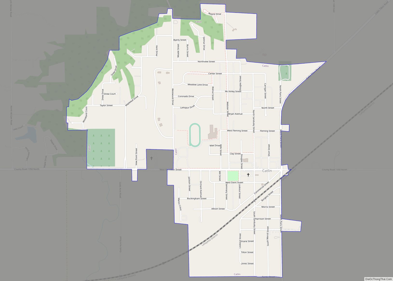
Online Interactive Map
Click on ![]() to view map in "full screen" mode.
to view map in "full screen" mode.
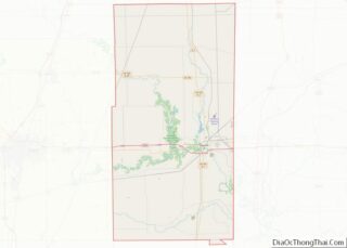
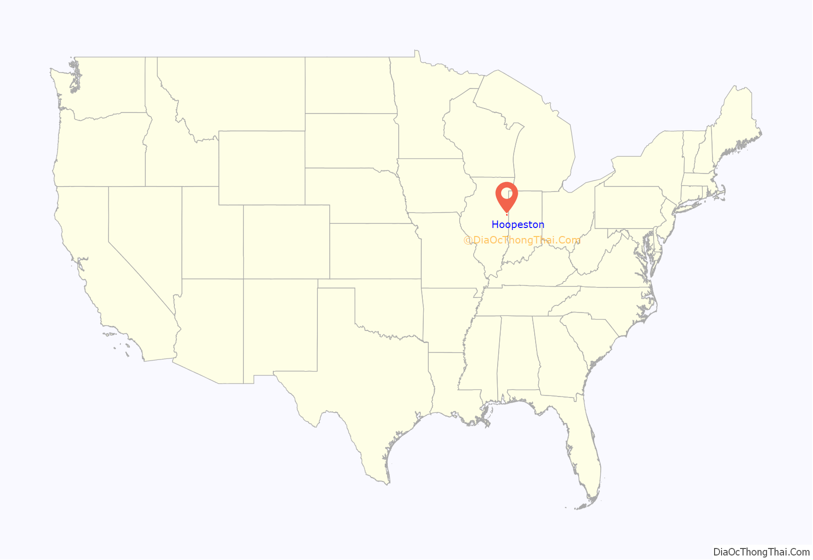
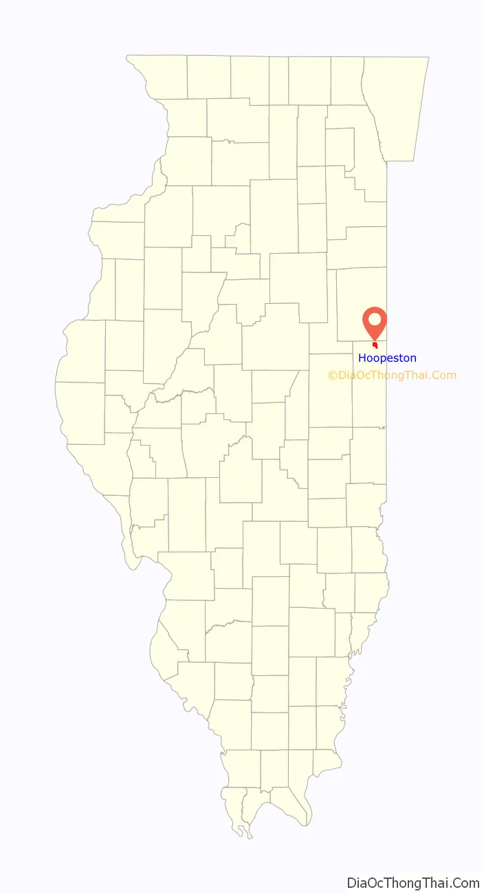
Hoopeston location map. Where is Hoopeston city?
History
Hoopeston was laid out in 1871. It was named for Thomas Hoopes, one of the men who offered land for the crossing of two railroads: the Lafayette, Bloomington and Western Railroad and the Chicago, Danville and Vincennes Railroad. The two railroads separated the town into four sections. The latter railroad still exists and is now operated jointly by CSX Transportation and Union Pacific Railroad.
In 1890, Greer College was established in Hoopeston, funded by a gift of $40,000 and 500 acres (2.0 km) of land from John Greer.
Business and manufacturing in Hoopeston have historically been related to agriculture. In 1875, S. S. McCall established the Illinois Canning Company to can locally grown vegetables, and this was so successful that in 1878 the Hoopeston Canning Company was established, which later became part of Stokely-Van Camp, Inc. In addition, Silgan Can (formerly American Can) had a factory which manufactured the tin cans themselves, and an FMC plant manufactured agricultural machinery. There was also an engine company there until at least 1915, the Hoopeston Gas Engine Company, which catered to agriculture and home use. Hoopeston was also the location of one of several prisoner of war camps housing German soldiers during World War II (see German Prisoner of War Camp, Hoopeston, Illinois); many POWs picked crops for the canneries.
In honor of its agricultural roots, including the growing of sweet corn, Hoopeston holds a Sweet Corn Festival each September, starting the Thursday before Labor Day and ending on Labor Day. In association with the festival, the Miss National Sweetheart is held during the same week. Runners-up from the Miss America state pageants are eligible to compete for the title of Miss National Sweetheart.
Hoopeston is now surrounded by many wind turbines that have been organized into computerized wind farms.
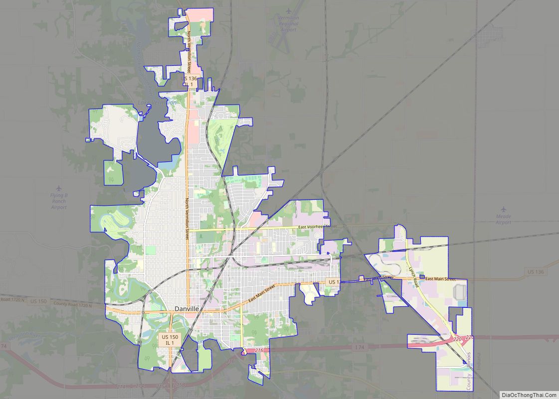
Hoopeston Road Map
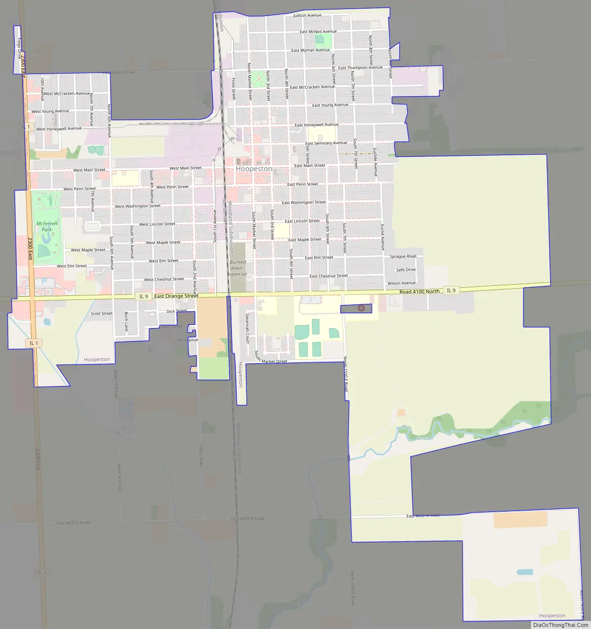
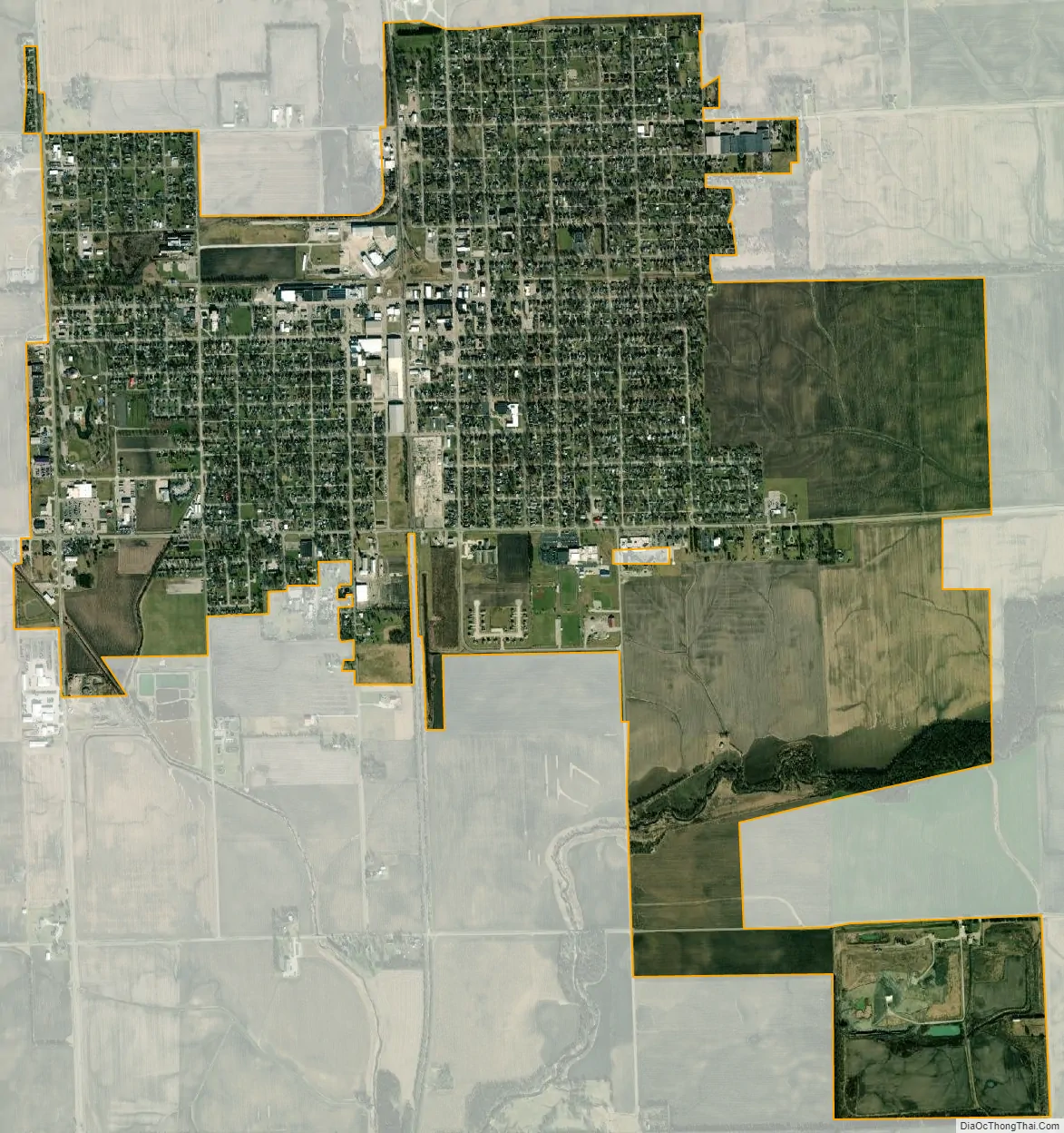
Hoopeston city Satellite Map
Geography
Hoopeston is located at the intersection of Illinois Route 1 and Illinois Route 9, about one mile from the north edge of Vermilion County. According to the 2010 census, Hoopeston has a total area of 3.69 square miles (9.56 km), all land.
Climate
See also
Map of Illinois State and its subdivision:- Adams
- Alexander
- Bond
- Boone
- Brown
- Bureau
- Calhoun
- Carroll
- Cass
- Champaign
- Christian
- Clark
- Clay
- Clinton
- Coles
- Cook
- Crawford
- Cumberland
- De Kalb
- De Witt
- Douglas
- Dupage
- Edgar
- Edwards
- Effingham
- Fayette
- Ford
- Franklin
- Fulton
- Gallatin
- Greene
- Grundy
- Hamilton
- Hancock
- Hardin
- Henderson
- Henry
- Iroquois
- Jackson
- Jasper
- Jefferson
- Jersey
- Jo Daviess
- Johnson
- Kane
- Kankakee
- Kendall
- Knox
- La Salle
- Lake
- Lake Michigan
- Lawrence
- Lee
- Livingston
- Logan
- Macon
- Macoupin
- Madison
- Marion
- Marshall
- Mason
- Massac
- McDonough
- McHenry
- McLean
- Menard
- Mercer
- Monroe
- Montgomery
- Morgan
- Moultrie
- Ogle
- Peoria
- Perry
- Piatt
- Pike
- Pope
- Pulaski
- Putnam
- Randolph
- Richland
- Rock Island
- Saint Clair
- Saline
- Sangamon
- Schuyler
- Scott
- Shelby
- Stark
- Stephenson
- Tazewell
- Union
- Vermilion
- Wabash
- Warren
- Washington
- Wayne
- White
- Whiteside
- Will
- Williamson
- Winnebago
- Woodford
- Alabama
- Alaska
- Arizona
- Arkansas
- California
- Colorado
- Connecticut
- Delaware
- District of Columbia
- Florida
- Georgia
- Hawaii
- Idaho
- Illinois
- Indiana
- Iowa
- Kansas
- Kentucky
- Louisiana
- Maine
- Maryland
- Massachusetts
- Michigan
- Minnesota
- Mississippi
- Missouri
- Montana
- Nebraska
- Nevada
- New Hampshire
- New Jersey
- New Mexico
- New York
- North Carolina
- North Dakota
- Ohio
- Oklahoma
- Oregon
- Pennsylvania
- Rhode Island
- South Carolina
- South Dakota
- Tennessee
- Texas
- Utah
- Vermont
- Virginia
- Washington
- West Virginia
- Wisconsin
- Wyoming