Antler is a city in Bottineau County in the U.S. state of North Dakota. The population was 22 at the 2020 census. Antler was founded in 1905.
| Name: | Antler city |
|---|---|
| LSAD Code: | 25 |
| LSAD Description: | city (suffix) |
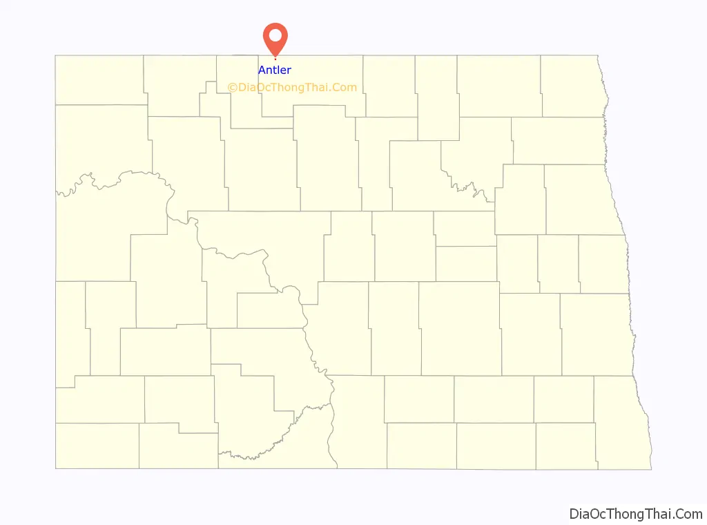
| State: | North Dakota |
| County: | Bottineau County |
| Founded: | 1905 |
| Elevation: | 1,535 ft (468 m) |
| Total Area: | 0.19 sq mi (0.48 km²) |
| Land Area: | 0.19 sq mi (0.48 km²) |
| Water Area: | 0.00 sq mi (0.00 km²) |
| Total Population: | 22 |
| Population Density: | 118.28/sq mi (45.72/km²) |
| ZIP code: | 58711 |
| Area code: | 701 |
| FIPS code: | 3802660 |
| GNISfeature ID: | 1027718 |
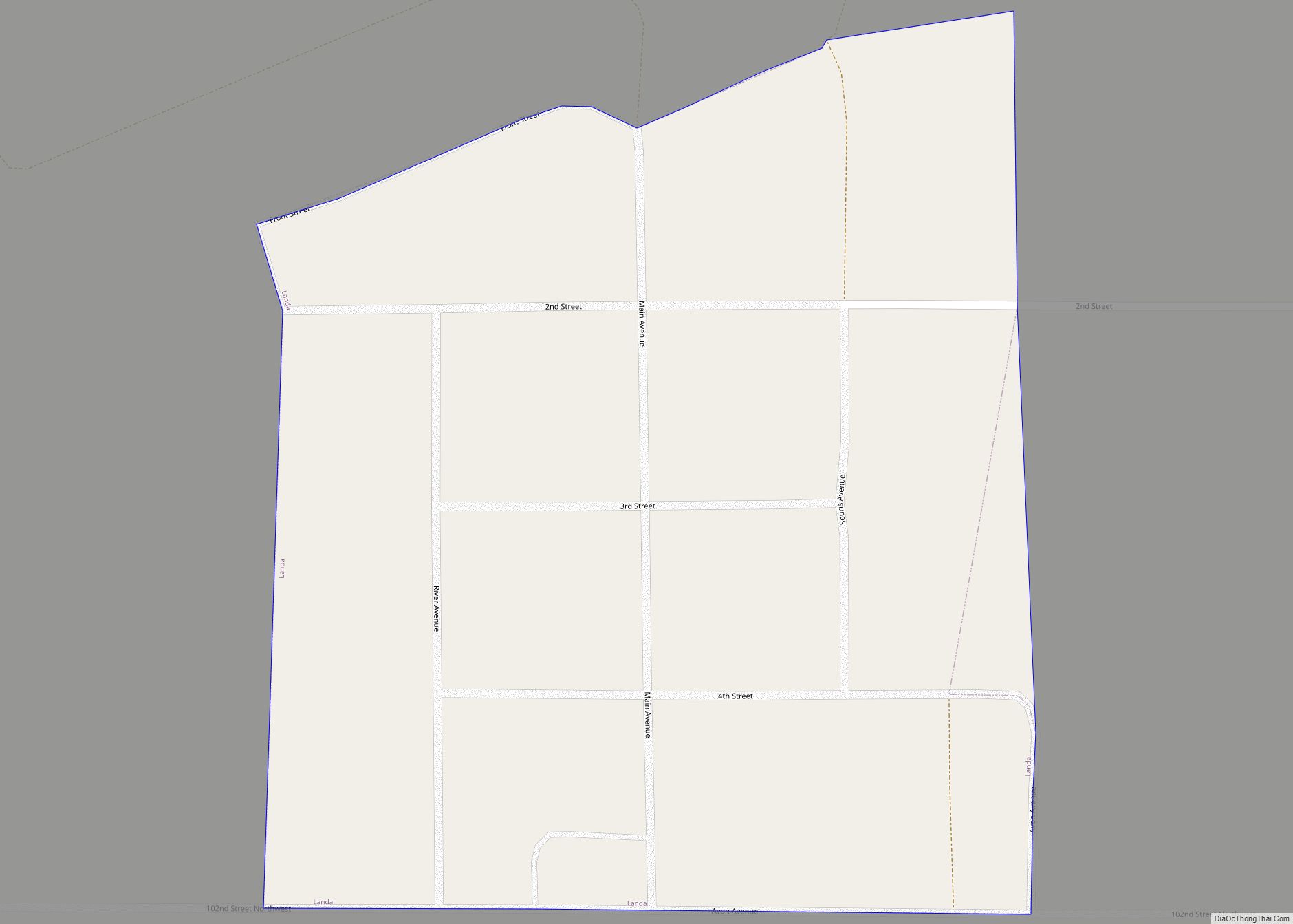
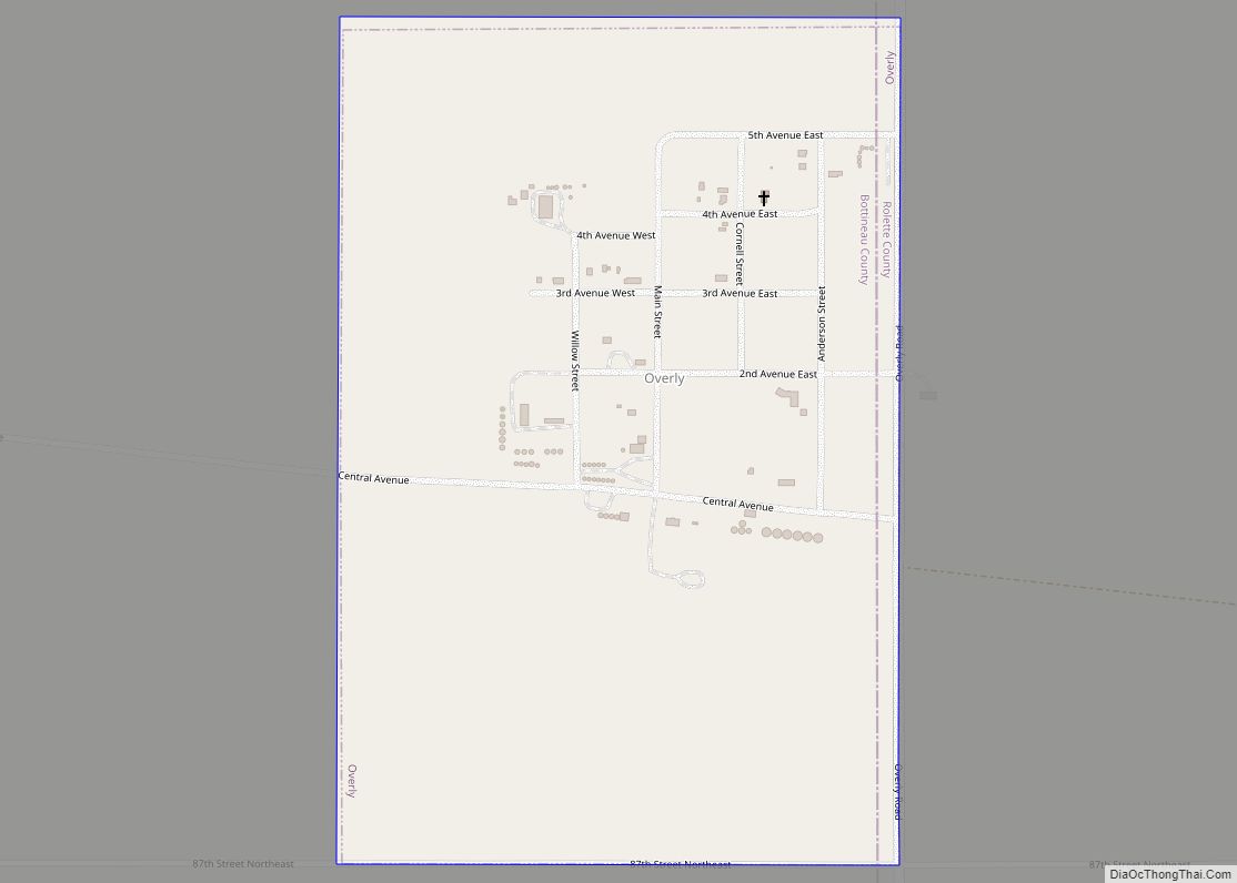
Online Interactive Map
Click on ![]() to view map in "full screen" mode.
to view map in "full screen" mode.
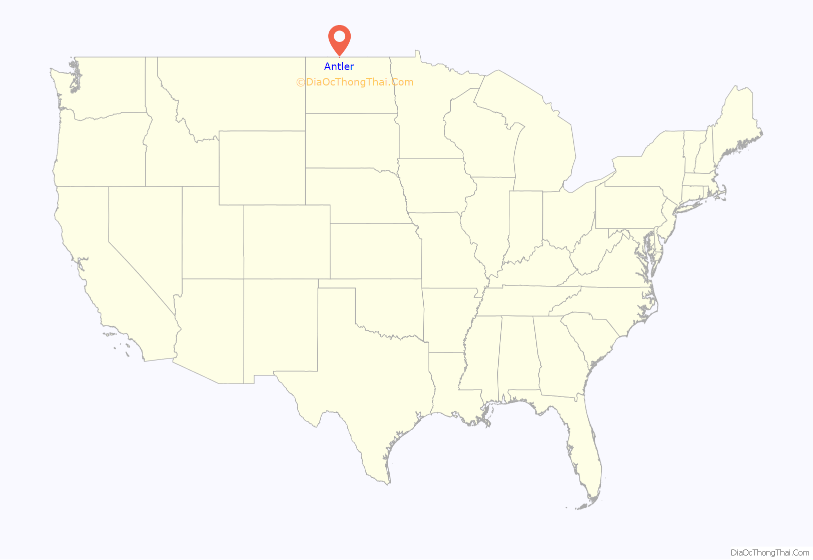
Antler location map. Where is Antler city?
History
Antler was established as a rural post office base in 1898. The developed town moved to its present location in 1902 to be closer to the Great Northern Railway to the south. The town was formally platted and founded in 1905, and reached a population of 342 by the 1910 Census. The population declined to 101 by the 1980 Census, and just 47 as of the 2000 census.
Antler High School closed in 1976. The Antler Grade School was set to close in 1981. Fearing the end of their town, Rick Jorgensen and Harley “Bud” Kissner thought of ways to bring in newcomers with school-age children to the town with the intent of keeping the school open. Rick thought of the idea to give away land and Bud volunteered some of his 640-acre (2.6 km) farm to modern homesteaders. The deal was to stay for five years and enroll the children in the Antler elementary school. Rick drew up a newspaper ad while a wire service spread the story. The story made national network news, airing twice on NBC evening edition, with the first story stating the reason was to increase the population and the second story about its role in reopening of the town’s schools by the land giveaway. Rick received letters from all over the world, including Germany and Australia. The plan worked for just a few years and the grade school closed in 1987, with 6 families receiving plots of 5 or 9 acres (36,000 m).
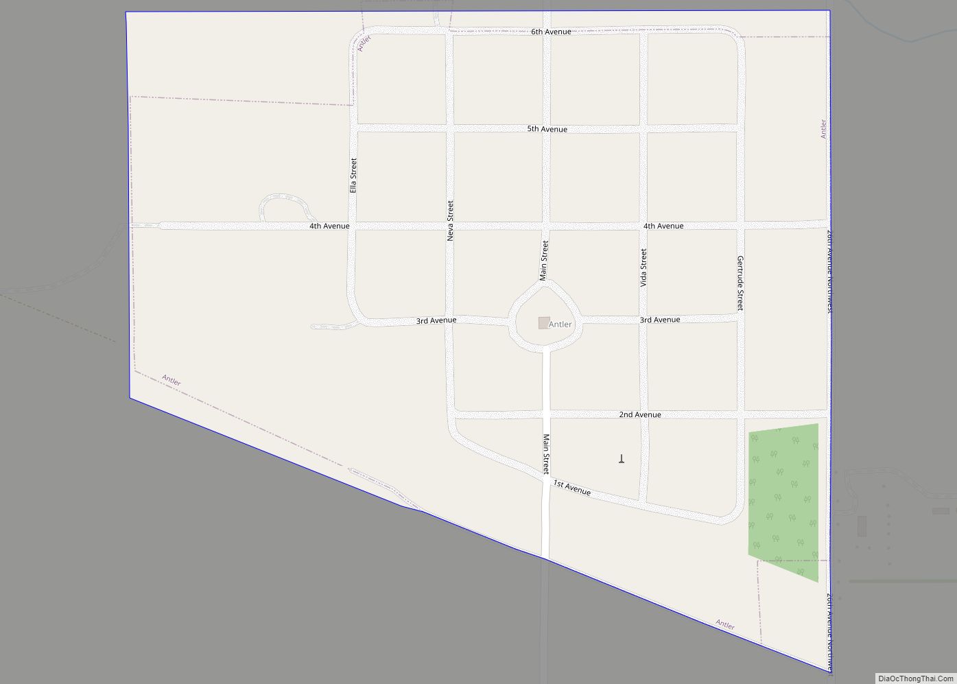
Antler Road Map
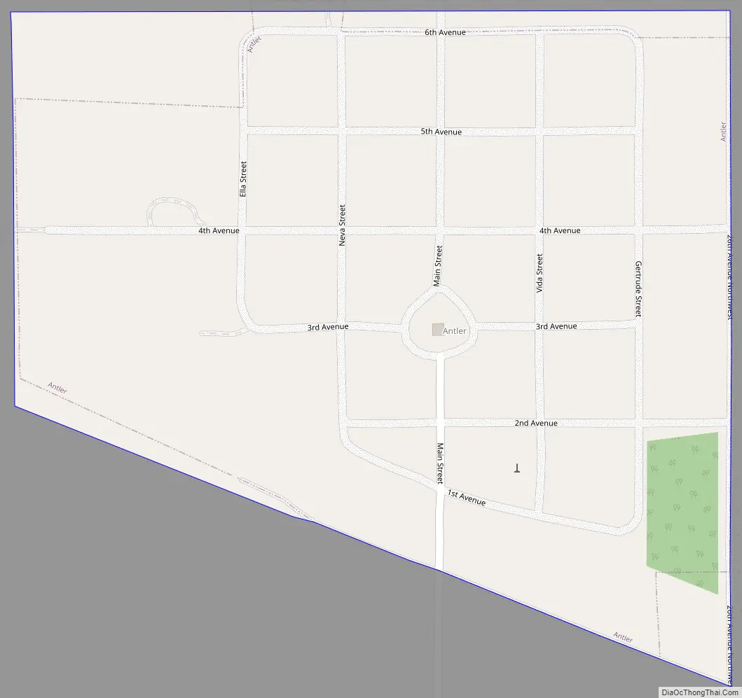
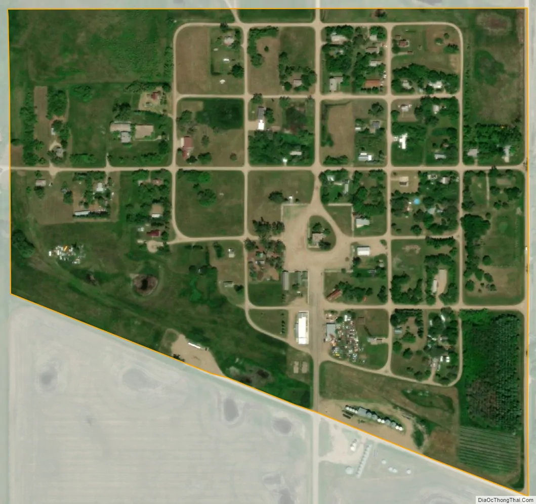
Antler city Satellite Map
Geography
Antler is located in Antler Township along the United States’ border with Canada. According to the United States Census Bureau, the city has a total area of 0.17 square miles (0.44 km), all land. Both Antler and the surrounding township are named for nearby Antler Creek, whose branches resemble deer antlers when viewed on a map.
See also
Map of North Dakota State and its subdivision:- Adams
- Barnes
- Benson
- Billings
- Bottineau
- Bowman
- Burke
- Burleigh
- Cass
- Cavalier
- Dickey
- Divide
- Dunn
- Eddy
- Emmons
- Foster
- Golden Valley
- Grand Forks
- Grant
- Griggs
- Hettinger
- Kidder
- Lamoure
- Logan
- McHenry
- McIntosh
- McKenzie
- McLean
- Mercer
- Morton
- Mountrail
- Nelson
- Oliver
- Pembina
- Pierce
- Ramsey
- Ransom
- Renville
- Richland
- Rolette
- Sargent
- Sheridan
- Sioux
- Slope
- Stark
- Steele
- Stutsman
- Towner
- Traill
- Walsh
- Ward
- Wells
- Williams
- Alabama
- Alaska
- Arizona
- Arkansas
- California
- Colorado
- Connecticut
- Delaware
- District of Columbia
- Florida
- Georgia
- Hawaii
- Idaho
- Illinois
- Indiana
- Iowa
- Kansas
- Kentucky
- Louisiana
- Maine
- Maryland
- Massachusetts
- Michigan
- Minnesota
- Mississippi
- Missouri
- Montana
- Nebraska
- Nevada
- New Hampshire
- New Jersey
- New Mexico
- New York
- North Carolina
- North Dakota
- Ohio
- Oklahoma
- Oregon
- Pennsylvania
- Rhode Island
- South Carolina
- South Dakota
- Tennessee
- Texas
- Utah
- Vermont
- Virginia
- Washington
- West Virginia
- Wisconsin
- Wyoming