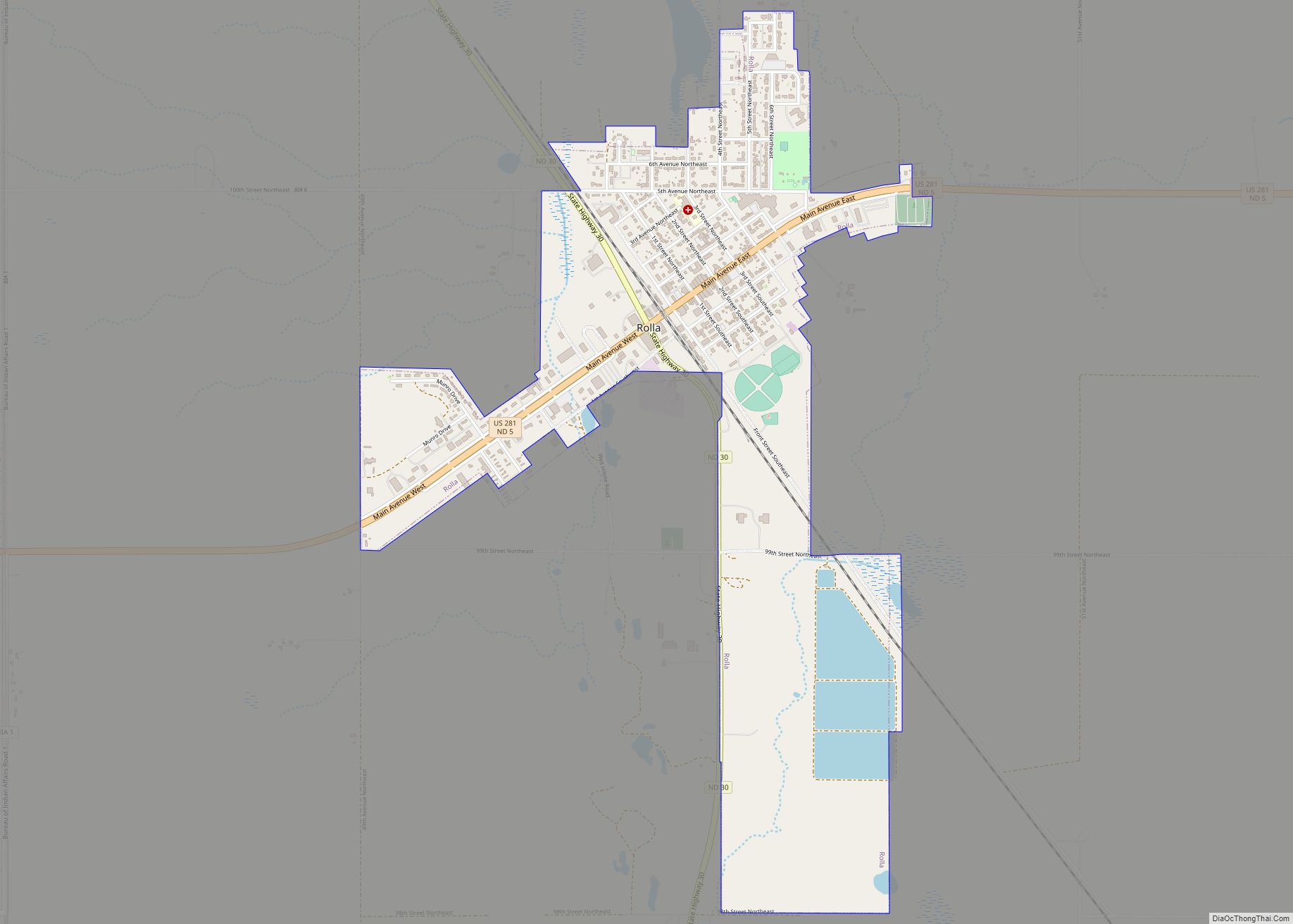
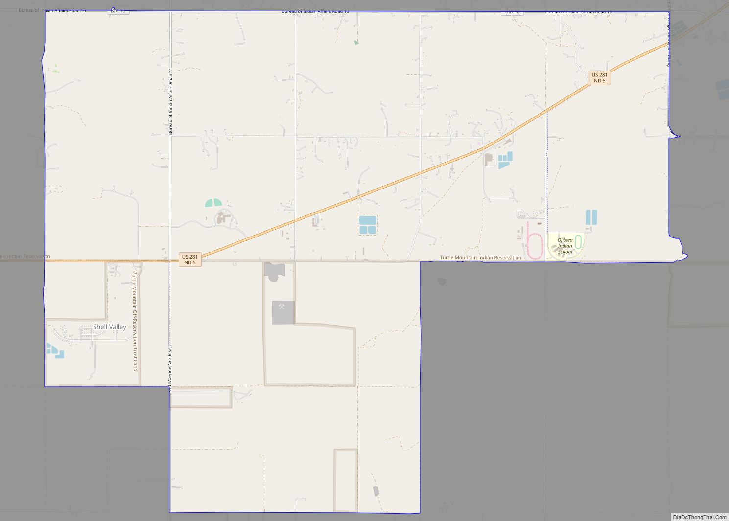
Belcourt is a census-designated place (CDP) in Rolette County, North Dakota, United States. It is within the Turtle Mountain Indian Reservation. The population was 1,510 at the 2020 census.
The community is the seat of the Turtle Mountain Band of Chippewa Indians. Belcourt was originally known as Siipiising, which is Anishinaabe (Chippewa) for “creek that sings with life-giving water.” The name refers to what European Americans called “Ox Creek”, which flows through the center of town.
Belcourt was laid out in 1884. The community was named Belcourt in honour of Georges-Antoine Belcourt,. Father Belcourt was a French Canadian Roman Catholic diocesan priest and missionary who served the Chippewa and Métis throughout his ministry in the mid-nineteenth century. Belcourt advocated politically on the behalf of the Anishinaabeg and Métis in Canada and in the United States until 1859. Father Belcourt described the Chippewa historical territory in the Pembina River basin as covering an area about 400 miles from north to south and 500 miles from east to west.
The town is served by different forms of media, such as KEYA, a tribal radio station that can be found at 88.5 FM; and the Turtle Mountain Times, the tribally owned newspaper that was established in 2003. The Tribal Independent, an independently owned online newspaper, was established in 2011 and folded in 2012.
| Name: | Belcourt CDP |
|---|---|
| LSAD Code: | 57 |
| LSAD Description: | CDP (suffix) |
| State: | North Dakota |
| County: | Rolette County |
| Elevation: | 1,962 ft (598 m) |
| Total Area: | 6.01 sq mi (15.57 km²) |
| Land Area: | 5.81 sq mi (15.05 km²) |
| Water Area: | 0.20 sq mi (0.52 km²) |
| Total Population: | 1,510 |
| Population Density: | 259.90/sq mi (100.34/km²) |
| ZIP code: | 58316 |
| Area code: | 701 |
| FIPS code: | 3805740 |
| GNISfeature ID: | 1027873 |
Online Interactive Map
Click on ![]() to view map in "full screen" mode.
to view map in "full screen" mode.
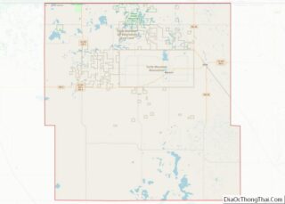
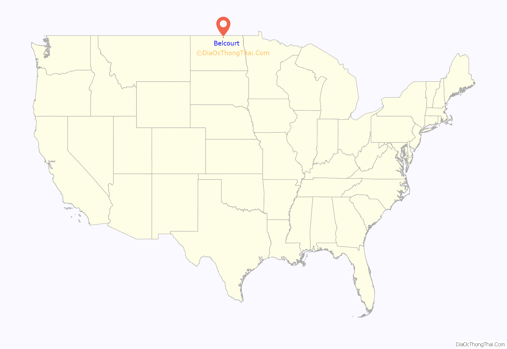
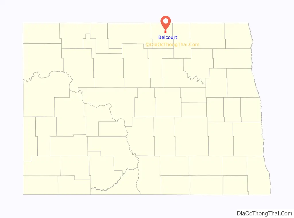
Belcourt location map. Where is Belcourt CDP?
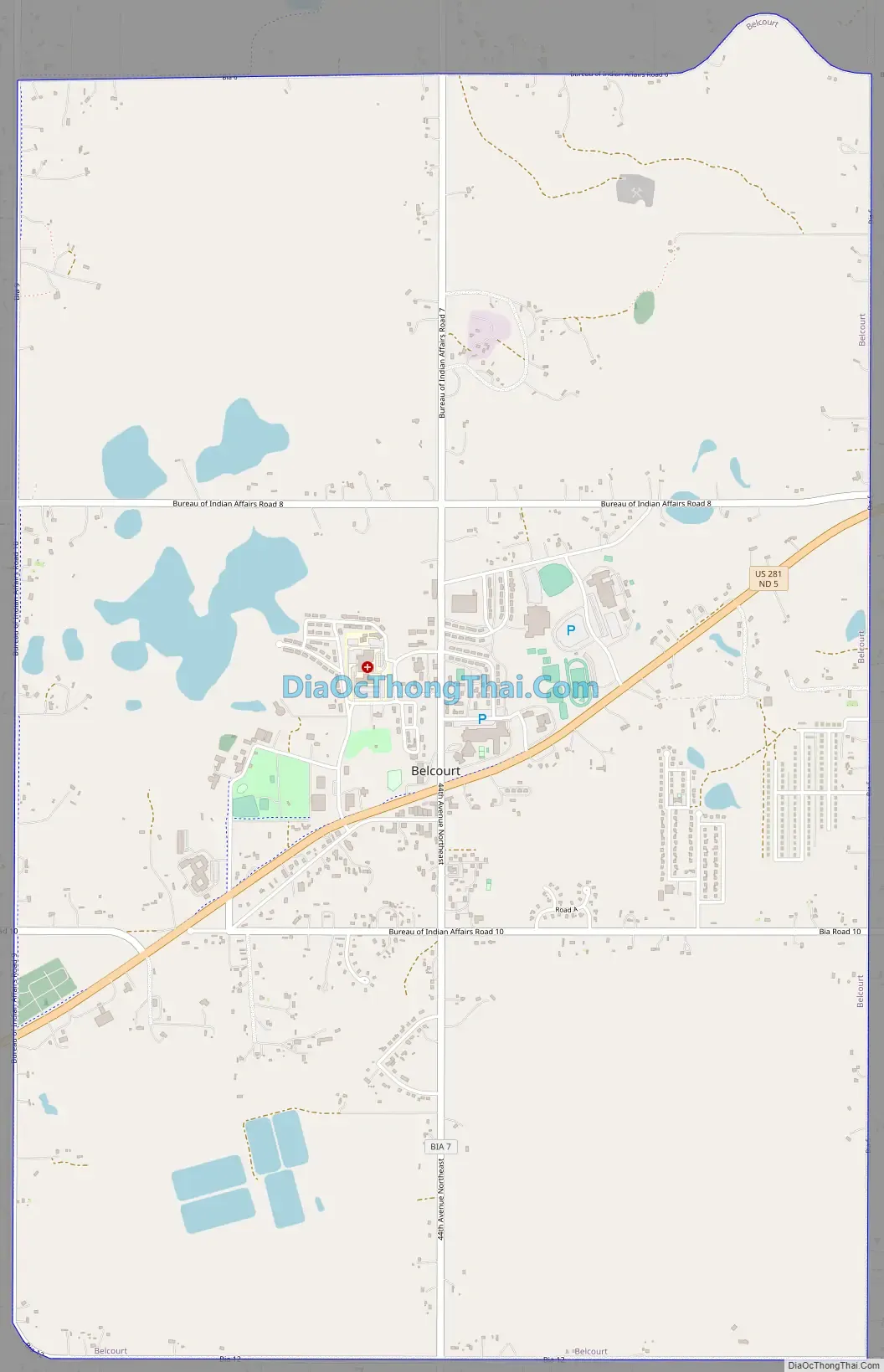
Belcourt Road Map
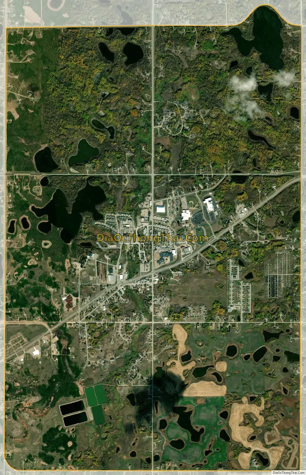
Belcourt city Satellite Map
Geography
Belcourt is located at 48°50′26″N 99°44′48″W / 48.84056°N 99.74667°W / 48.84056; -99.74667 (48.840666, -99.746588).
According to the United States Census Bureau, the CDP has a total area of 6.0 square miles (16 km), of which 5.8 square miles (15 km) is land and 0.2 square miles (0.52 km) (3.36%) is water. It is named after Father Belcourt.
See also
Map of North Dakota State and its subdivision:- Adams
- Barnes
- Benson
- Billings
- Bottineau
- Bowman
- Burke
- Burleigh
- Cass
- Cavalier
- Dickey
- Divide
- Dunn
- Eddy
- Emmons
- Foster
- Golden Valley
- Grand Forks
- Grant
- Griggs
- Hettinger
- Kidder
- Lamoure
- Logan
- McHenry
- McIntosh
- McKenzie
- McLean
- Mercer
- Morton
- Mountrail
- Nelson
- Oliver
- Pembina
- Pierce
- Ramsey
- Ransom
- Renville
- Richland
- Rolette
- Sargent
- Sheridan
- Sioux
- Slope
- Stark
- Steele
- Stutsman
- Towner
- Traill
- Walsh
- Ward
- Wells
- Williams
- Alabama
- Alaska
- Arizona
- Arkansas
- California
- Colorado
- Connecticut
- Delaware
- District of Columbia
- Florida
- Georgia
- Hawaii
- Idaho
- Illinois
- Indiana
- Iowa
- Kansas
- Kentucky
- Louisiana
- Maine
- Maryland
- Massachusetts
- Michigan
- Minnesota
- Mississippi
- Missouri
- Montana
- Nebraska
- Nevada
- New Hampshire
- New Jersey
- New Mexico
- New York
- North Carolina
- North Dakota
- Ohio
- Oklahoma
- Oregon
- Pennsylvania
- Rhode Island
- South Carolina
- South Dakota
- Tennessee
- Texas
- Utah
- Vermont
- Virginia
- Washington
- West Virginia
- Wisconsin
- Wyoming