St. John is a city in Rolette County, North Dakota, United States. The population was 322 at the 2020 census.
| Name: | St. John city |
|---|---|
| LSAD Code: | 25 |
| LSAD Description: | city (suffix) |
| State: | North Dakota |
| County: | Rolette County |
| Founded: | 1882 |
| Elevation: | 1,949 ft (594 m) |
| Total Area: | 0.44 sq mi (1.14 km²) |
| Land Area: | 0.44 sq mi (1.14 km²) |
| Water Area: | 0.00 sq mi (0.00 km²) |
| Total Population: | 322 |
| Population Density: | 728.51/sq mi (281.46/km²) |
| ZIP code: | 58369 |
| Area code: | 701 |
| FIPS code: | 3869980 |
| GNISfeature ID: | 1031147 |
Online Interactive Map
Click on ![]() to view map in "full screen" mode.
to view map in "full screen" mode.
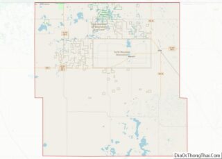
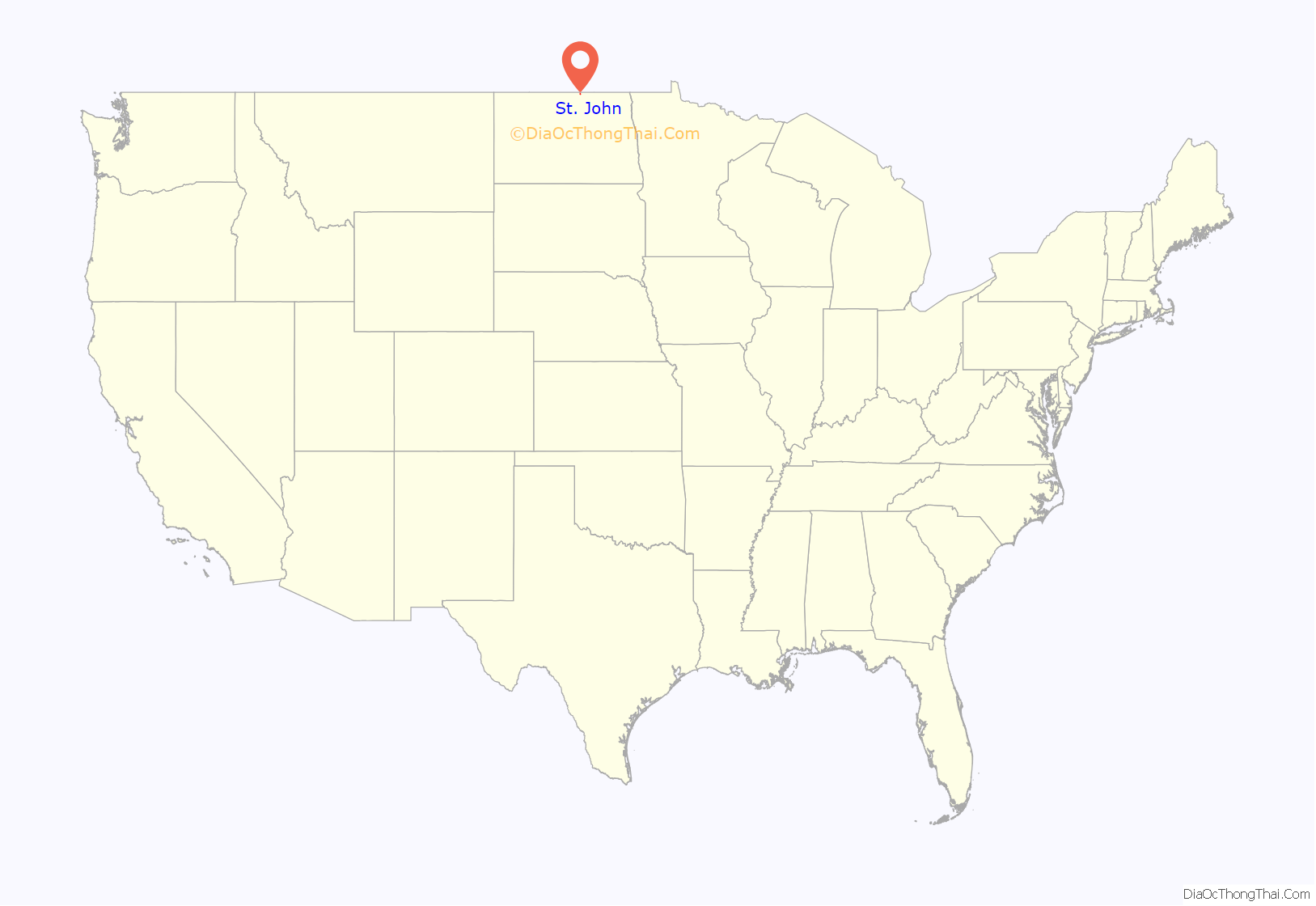
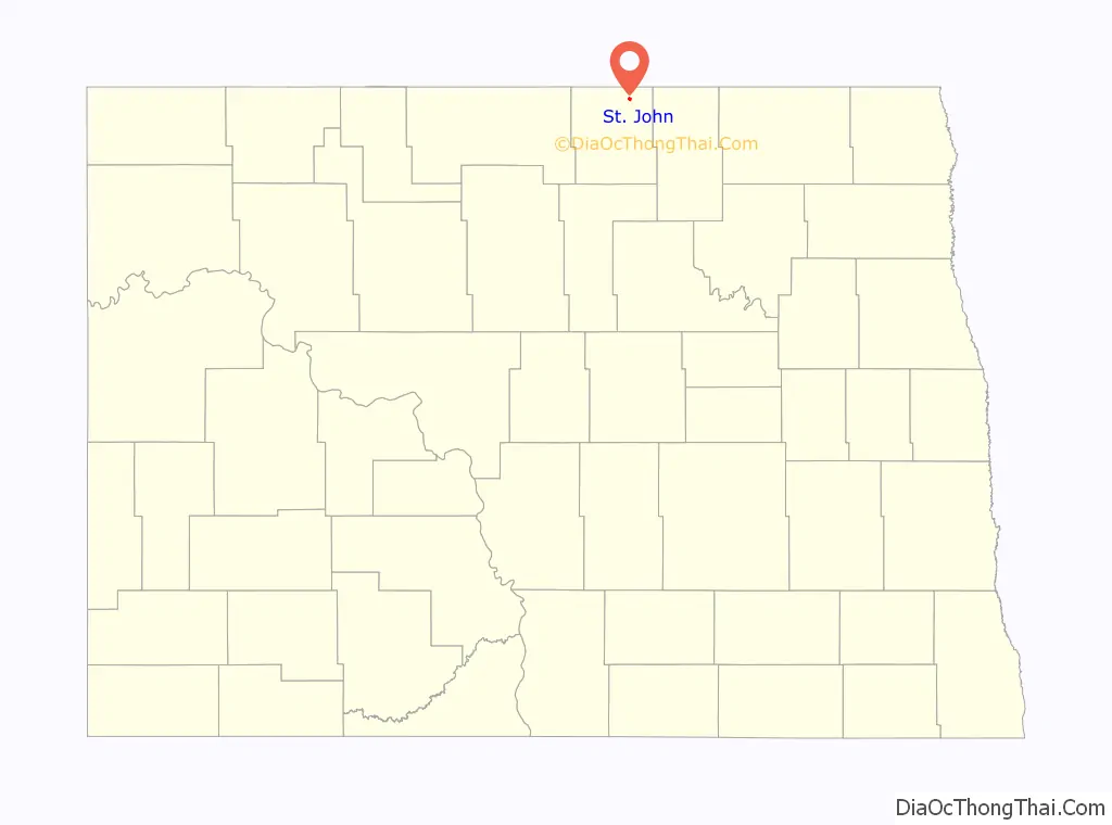
St. John location map. Where is St. John city?
History
St. John was laid out in 1882. The town took its name after a parish in Quebec, the native land of a local missionary. St. John was incorporated in 1903. A post office has been in operation in St. John since 1882. An early history of the town of St. John circa 1890 to 1912 can be found here and.
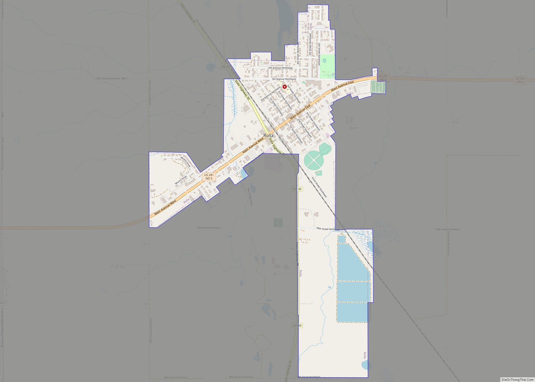
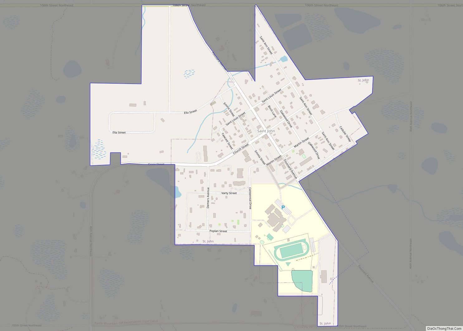
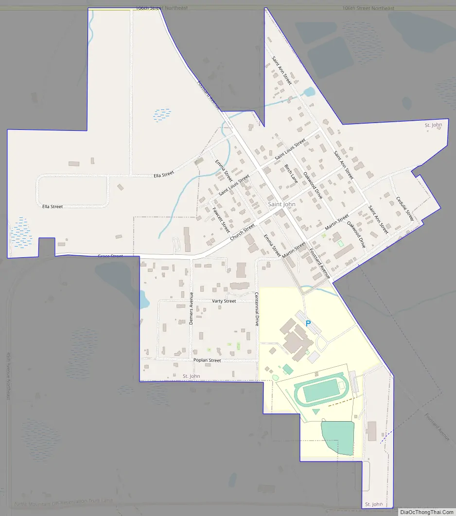
St. John Road Map
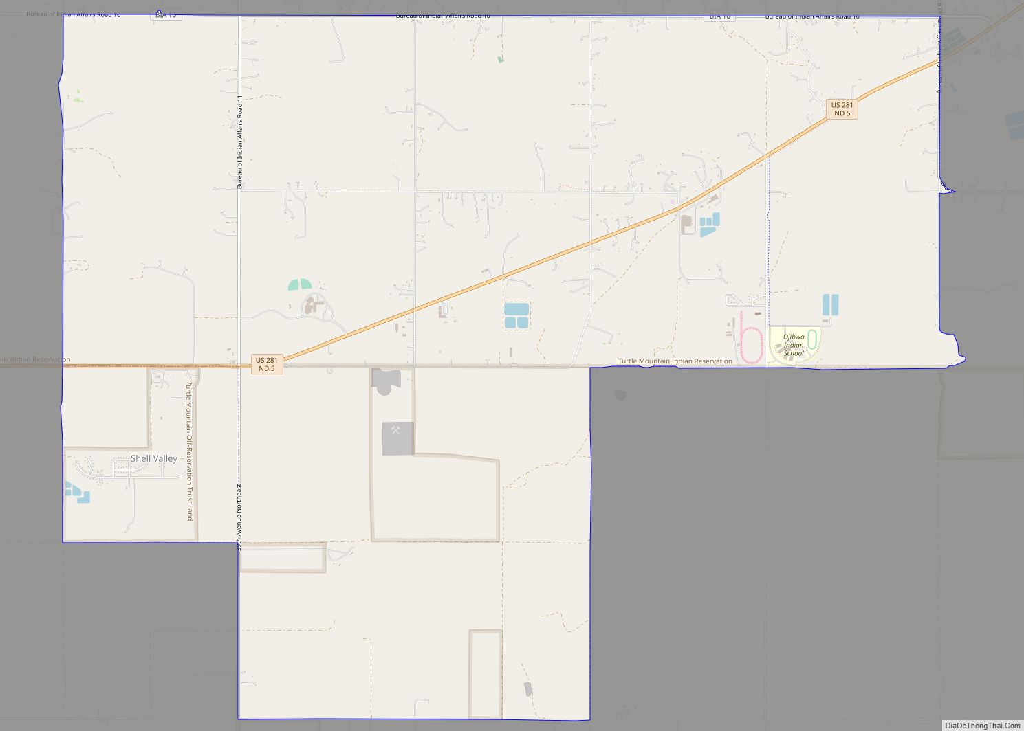
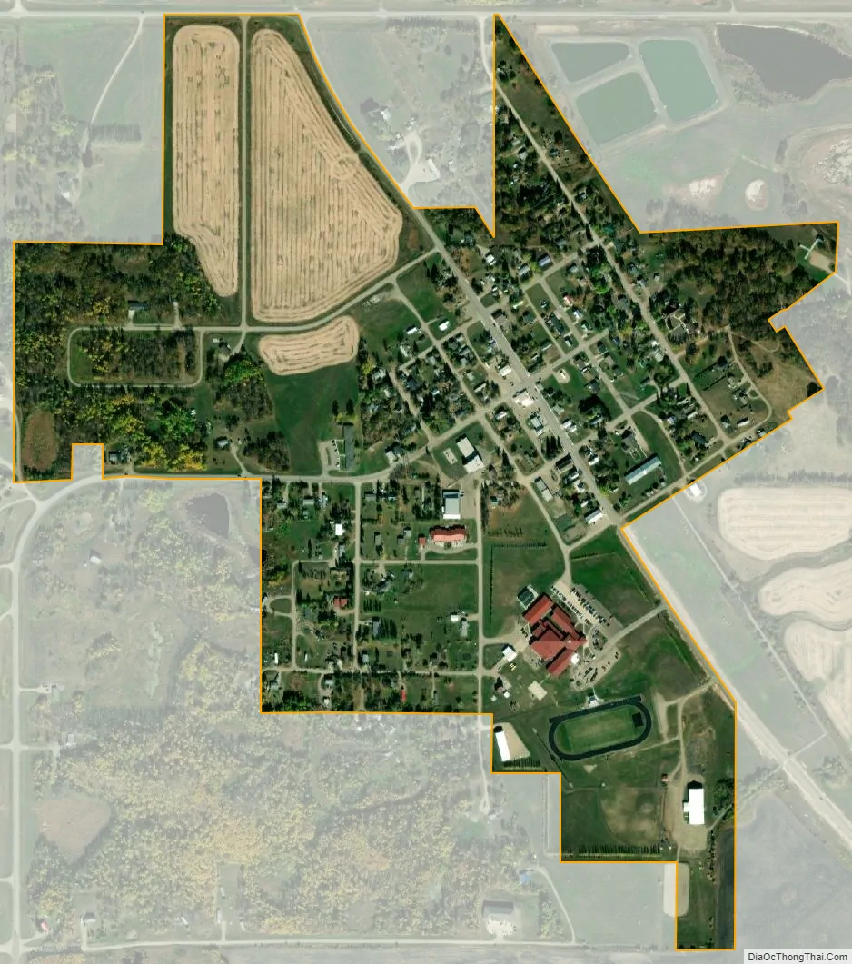
St. John city Satellite Map
Geography
According to the United States Census Bureau, the city has a total area of 0.45 square miles (1.17 km), all land. St. John is the town in the United States closest to one of the few practical exclaves of the US.
See also
Map of North Dakota State and its subdivision:- Adams
- Barnes
- Benson
- Billings
- Bottineau
- Bowman
- Burke
- Burleigh
- Cass
- Cavalier
- Dickey
- Divide
- Dunn
- Eddy
- Emmons
- Foster
- Golden Valley
- Grand Forks
- Grant
- Griggs
- Hettinger
- Kidder
- Lamoure
- Logan
- McHenry
- McIntosh
- McKenzie
- McLean
- Mercer
- Morton
- Mountrail
- Nelson
- Oliver
- Pembina
- Pierce
- Ramsey
- Ransom
- Renville
- Richland
- Rolette
- Sargent
- Sheridan
- Sioux
- Slope
- Stark
- Steele
- Stutsman
- Towner
- Traill
- Walsh
- Ward
- Wells
- Williams
- Alabama
- Alaska
- Arizona
- Arkansas
- California
- Colorado
- Connecticut
- Delaware
- District of Columbia
- Florida
- Georgia
- Hawaii
- Idaho
- Illinois
- Indiana
- Iowa
- Kansas
- Kentucky
- Louisiana
- Maine
- Maryland
- Massachusetts
- Michigan
- Minnesota
- Mississippi
- Missouri
- Montana
- Nebraska
- Nevada
- New Hampshire
- New Jersey
- New Mexico
- New York
- North Carolina
- North Dakota
- Ohio
- Oklahoma
- Oregon
- Pennsylvania
- Rhode Island
- South Carolina
- South Dakota
- Tennessee
- Texas
- Utah
- Vermont
- Virginia
- Washington
- West Virginia
- Wisconsin
- Wyoming