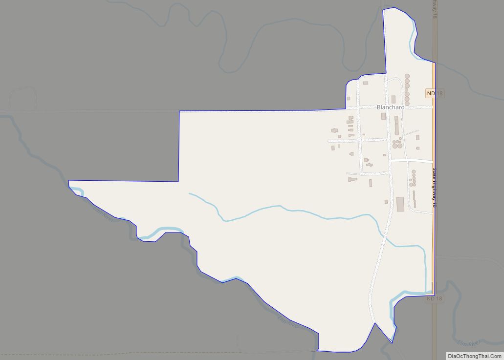
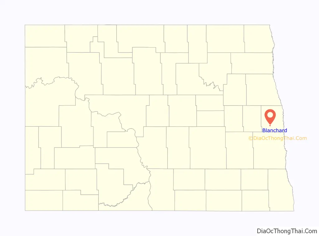
Blanchard is a census-designated place in Blanchard Township, Traill County, North Dakota, United States. The population was 26 at the 2010 census.
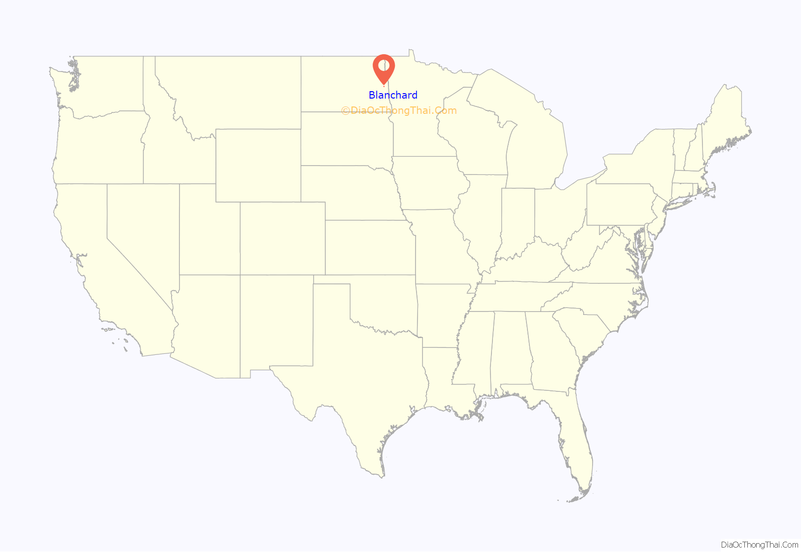
Blanchard is near the North Dakota-Minnesota border, near the junction of state highways 18 and 200.
The KVLY-TV mast, the tallest man-made structure in the Western Hemisphere, stands near Blanchard. The mast is used to transmit television broadcasts from the Fargo station KVLY-TV and was the tallest man-made structure in the world from 1963 to 1974 and again from 1991 to 2008. It is currently the fourth-tallest man-made structure in the world. Similarly, the KRDK-TV mast, the second tallest man-made structure in the United States, stands 6 miles (9.7 km) from Blanchard, near Galesburg.
| Name: | Blanchard CDP |
|---|---|
| LSAD Code: | 57 |
| LSAD Description: | CDP (suffix) |
| State: | North Dakota |
| County: | Traill County |
| Elevation: | 945 ft (288 m) |
| Total Area: | 0.26 sq mi (0.66 km²) |
| Land Area: | 0.26 sq mi (0.66 km²) |
| Water Area: | 0.00 sq mi (0.00 km²) |
| Total Population: | 16 |
| Population Density: | 62.75/sq mi (24.25/km²) |
| ZIP code: | 58009 |
| Area code: | 701 |
| FIPS code: | 3807620 |
| GNISfeature ID: | 2584337 |
Online Interactive Map
Click on ![]() to view map in "full screen" mode.
to view map in "full screen" mode.
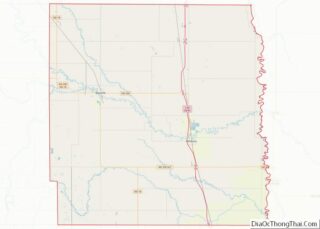
Blanchard location map. Where is Blanchard CDP?
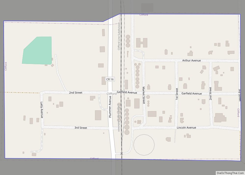
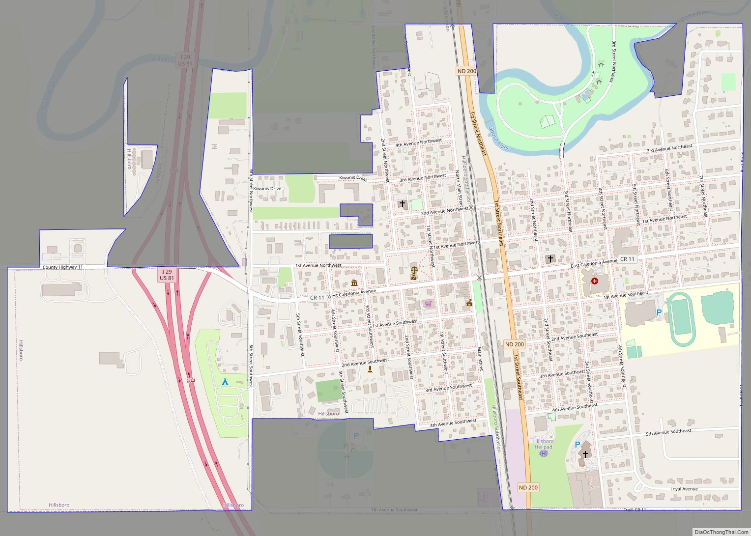
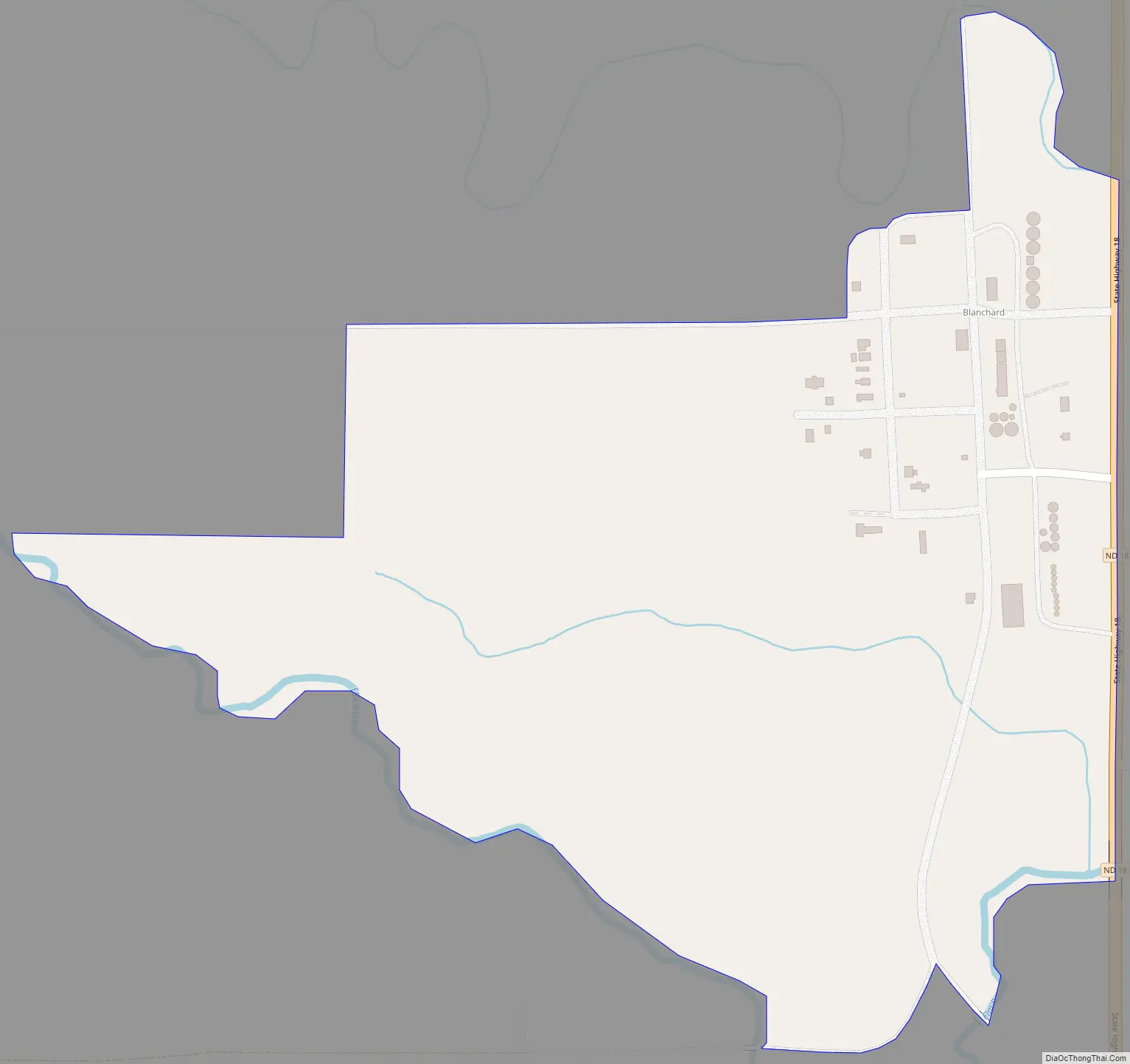
Blanchard Road Map
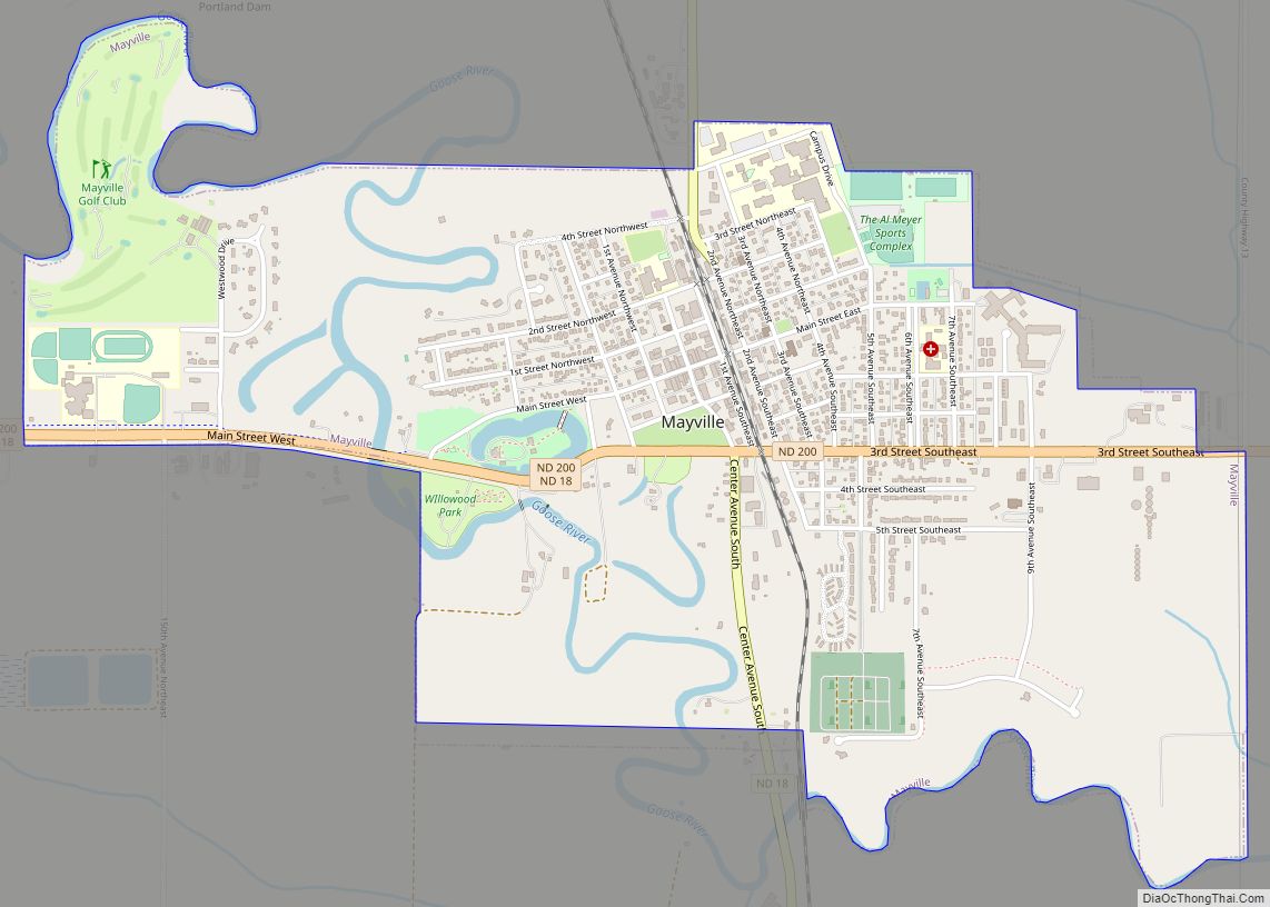
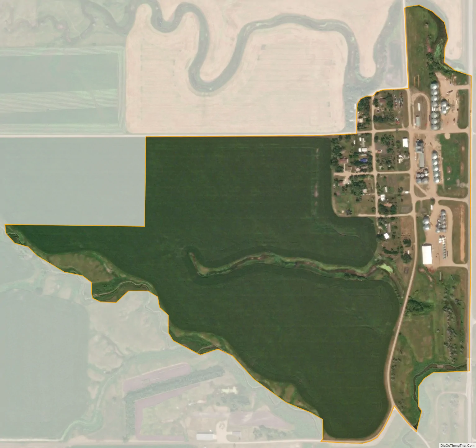
Blanchard city Satellite Map
See also
Map of North Dakota State and its subdivision:- Adams
- Barnes
- Benson
- Billings
- Bottineau
- Bowman
- Burke
- Burleigh
- Cass
- Cavalier
- Dickey
- Divide
- Dunn
- Eddy
- Emmons
- Foster
- Golden Valley
- Grand Forks
- Grant
- Griggs
- Hettinger
- Kidder
- Lamoure
- Logan
- McHenry
- McIntosh
- McKenzie
- McLean
- Mercer
- Morton
- Mountrail
- Nelson
- Oliver
- Pembina
- Pierce
- Ramsey
- Ransom
- Renville
- Richland
- Rolette
- Sargent
- Sheridan
- Sioux
- Slope
- Stark
- Steele
- Stutsman
- Towner
- Traill
- Walsh
- Ward
- Wells
- Williams
- Alabama
- Alaska
- Arizona
- Arkansas
- California
- Colorado
- Connecticut
- Delaware
- District of Columbia
- Florida
- Georgia
- Hawaii
- Idaho
- Illinois
- Indiana
- Iowa
- Kansas
- Kentucky
- Louisiana
- Maine
- Maryland
- Massachusetts
- Michigan
- Minnesota
- Mississippi
- Missouri
- Montana
- Nebraska
- Nevada
- New Hampshire
- New Jersey
- New Mexico
- New York
- North Carolina
- North Dakota
- Ohio
- Oklahoma
- Oregon
- Pennsylvania
- Rhode Island
- South Carolina
- South Dakota
- Tennessee
- Texas
- Utah
- Vermont
- Virginia
- Washington
- West Virginia
- Wisconsin
- Wyoming