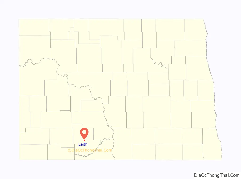
Leith (/ˈliːθ/ LEETH) is a city in Grant County, North Dakota, United States. The population was 28 at the 2020 census.
| Name: | Leith city |
|---|---|
| LSAD Code: | 25 |
| LSAD Description: | city (suffix) |
| State: | North Dakota |
| County: | Grant County |
| Founded: | 1910 |
| Elevation: | 2,343 ft (714 m) |
| Total Area: | 1.25 sq mi (3.24 km²) |
| Land Area: | 1.24 sq mi (3.20 km²) |
| Water Area: | 0.02 sq mi (0.04 km²) |
| Total Population: | 28 |
| Population Density: | 22.64/sq mi (8.74/km²) |
| ZIP code: | 58529 |
| Area code: | 701 |
| FIPS code: | 3845860 |
| GNISfeature ID: | 1029862 |
| Website: | pbs.org/leith |
Online Interactive Map
Click on ![]() to view map in "full screen" mode.
to view map in "full screen" mode.
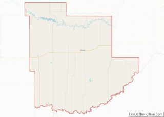
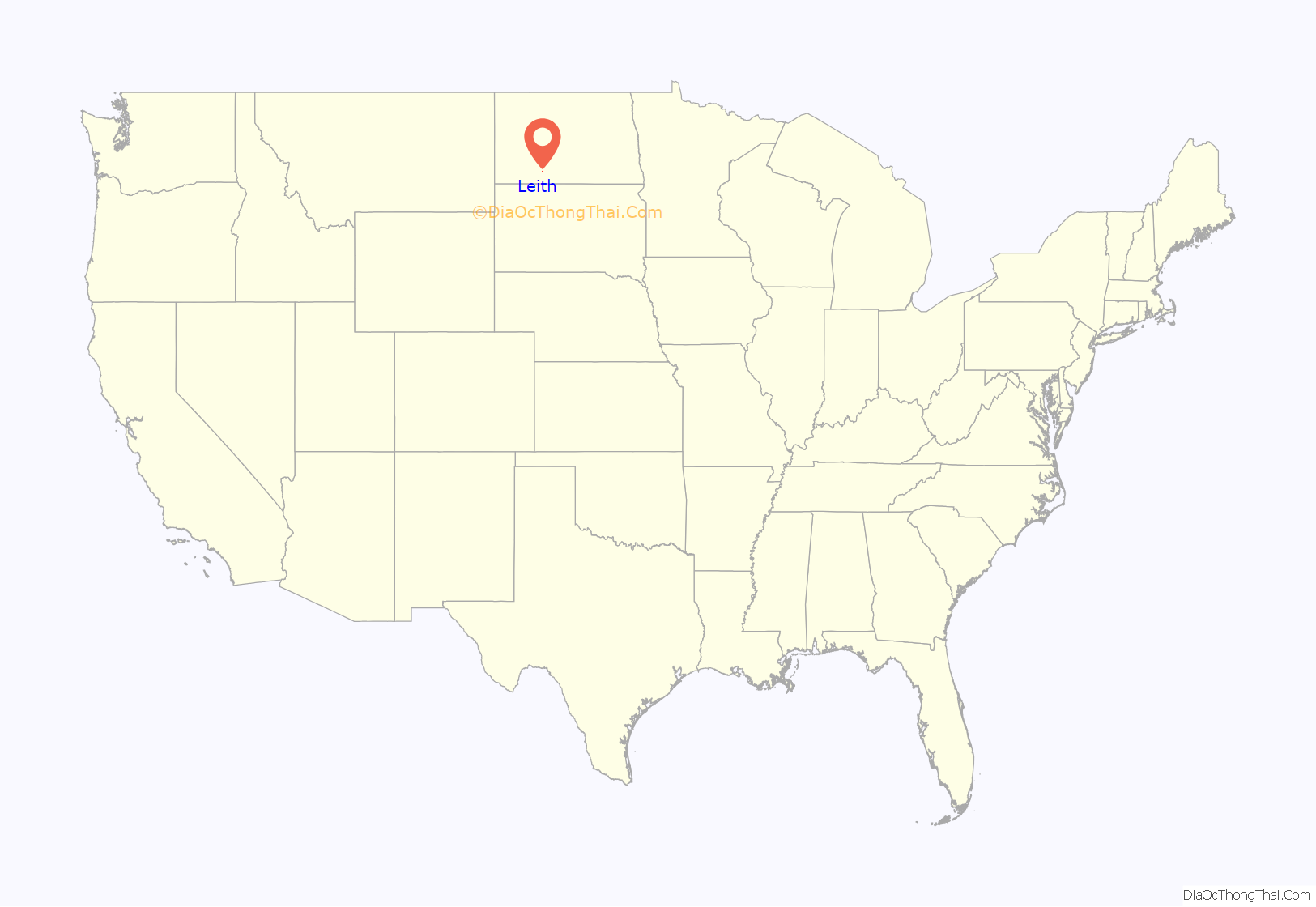
Leith location map. Where is Leith city?
History
Leith was founded in 1910 along a Milwaukee Road branch line that separated from the railroad’s Pacific Extension in McLaughlin, South Dakota, and ran to New England, North Dakota. The name was given by railroad officials and comes from the harbor town of Leith near Edinburgh, Scotland. This line was abandoned in 1984, isolating Leith, as none of the primary highways in the area were constructed to go through the city.
White nationalists
In 2012, after moving to Leith, Craig Cobb began buying up land, at one point, reportedly owning at least 12 plots of land. Cobb has expressed a desire to turn the town into a white nationalist community. As a reaction to Cobb, some locals have advocated to disincorporate Leith back into Grant County proper. In November 2013 Cobb was arrested and charged with three counts of terrorizing stemming from an incident in which he confronted another town resident with both a shotgun and a rifle.
Today, Cobb no longer owns any buildings in Leith. He deeded six properties back to the town at no charge and sold off a few others. Three are still owned by other white supremacists, but they have shown little inclination to take up where Cobb left off.
After two men suspected of ties to Cobb were elected to the city council in June 2018, mayor Ryan Schock circulated a petition to disincorporate Leith. The Grant County commission subsequently cleared the way for a referendum on July 23, 2018 on dissolving the city. However, due to concerns that the original date was earlier than Century Code (state statutes) permitted, the vote was moved to November 6, the day of the 2018 midterm elections. As of September 2022, the city of Leith is still listed on the website of Grant County.
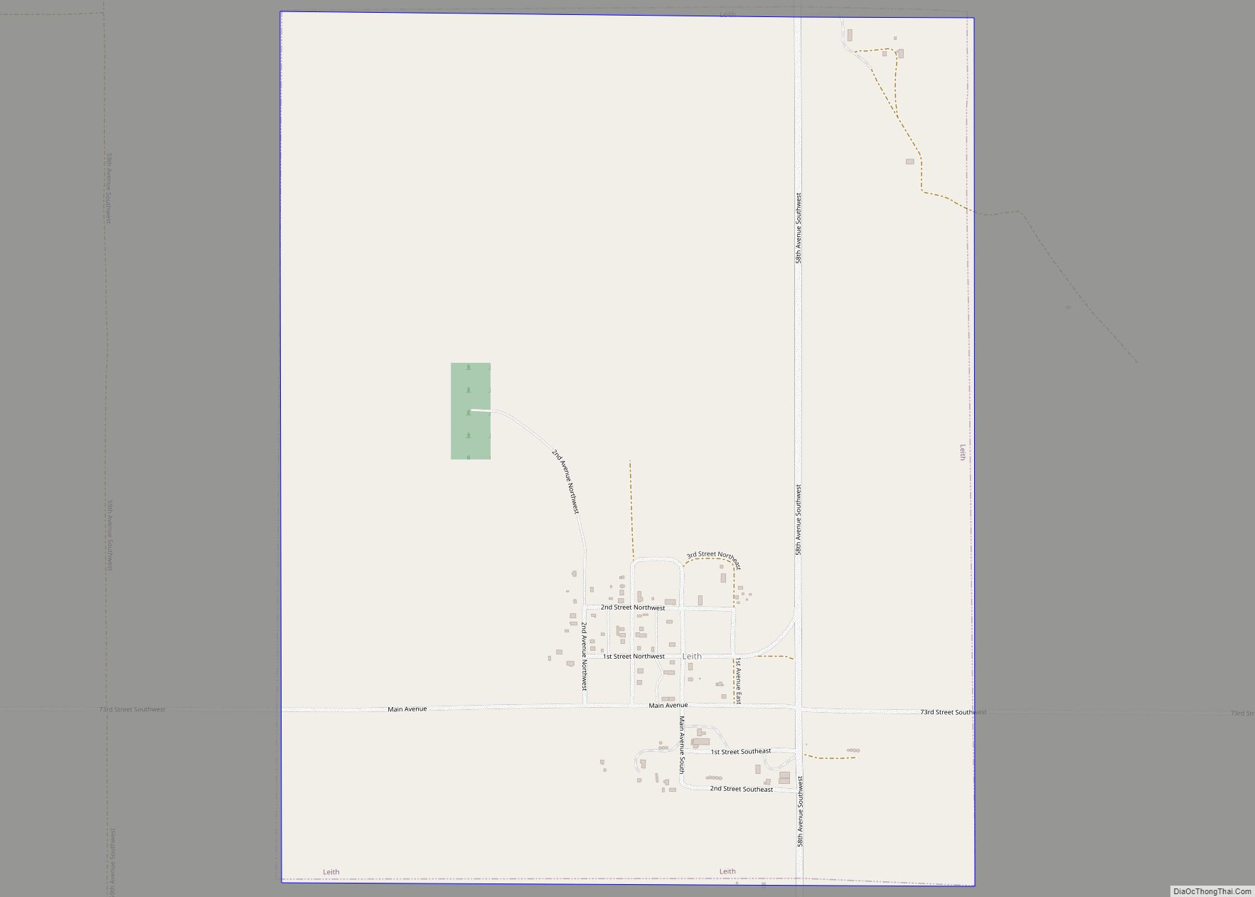
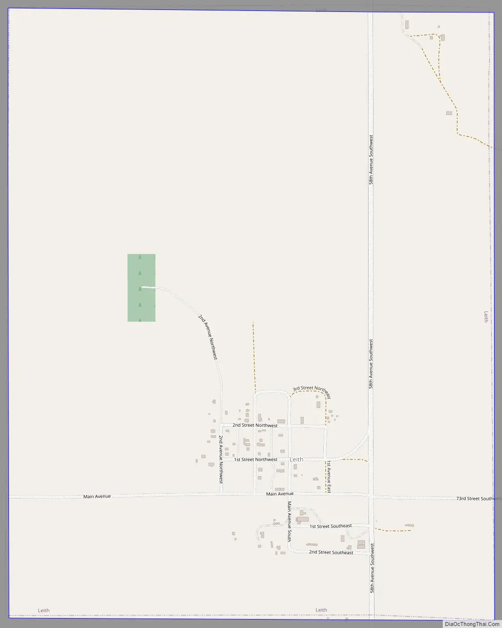
Leith Road Map
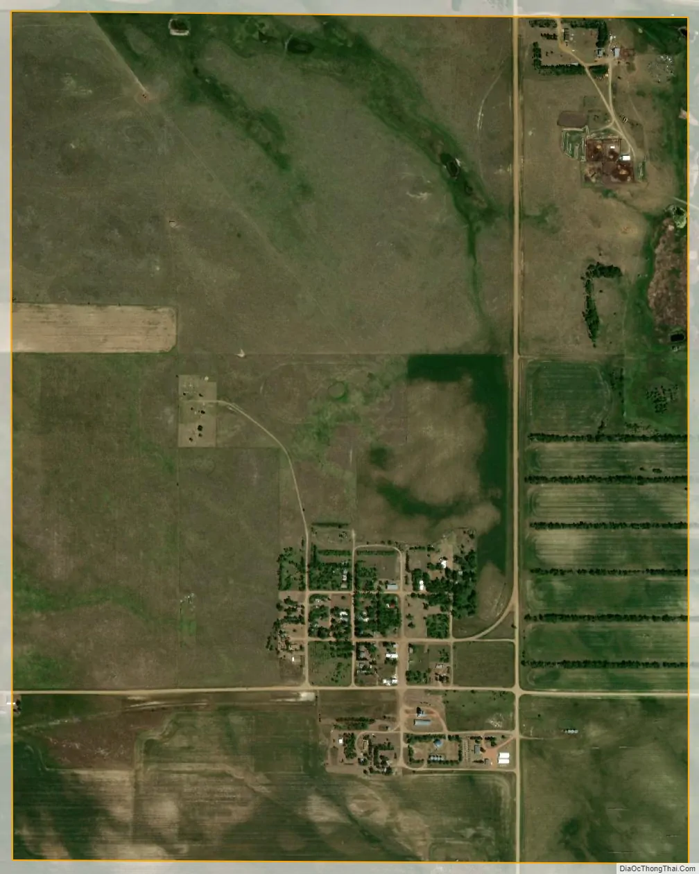
Leith city Satellite Map
Geography
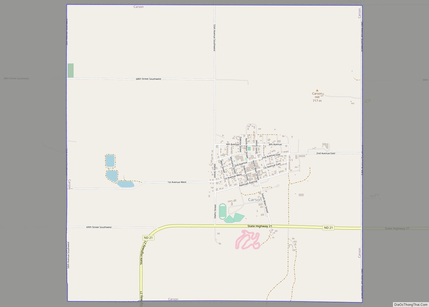
Leith is located at 46°21′32″N 101°38′10″W / 46.35889°N 101.63611°W / 46.35889; -101.63611 (46.358871, -101.636202). According to the United States Census Bureau, the city has a total area of 1.24 square miles (3.21 km), of which 1.23 square miles (3.19 km) is land and 0.01 square miles (0.03 km) is water. Leith is located approximately 5 miles (8.0 km) southwest of Carson, North Dakota.
See also
Map of North Dakota State and its subdivision:- Adams
- Barnes
- Benson
- Billings
- Bottineau
- Bowman
- Burke
- Burleigh
- Cass
- Cavalier
- Dickey
- Divide
- Dunn
- Eddy
- Emmons
- Foster
- Golden Valley
- Grand Forks
- Grant
- Griggs
- Hettinger
- Kidder
- Lamoure
- Logan
- McHenry
- McIntosh
- McKenzie
- McLean
- Mercer
- Morton
- Mountrail
- Nelson
- Oliver
- Pembina
- Pierce
- Ramsey
- Ransom
- Renville
- Richland
- Rolette
- Sargent
- Sheridan
- Sioux
- Slope
- Stark
- Steele
- Stutsman
- Towner
- Traill
- Walsh
- Ward
- Wells
- Williams
- Alabama
- Alaska
- Arizona
- Arkansas
- California
- Colorado
- Connecticut
- Delaware
- District of Columbia
- Florida
- Georgia
- Hawaii
- Idaho
- Illinois
- Indiana
- Iowa
- Kansas
- Kentucky
- Louisiana
- Maine
- Maryland
- Massachusetts
- Michigan
- Minnesota
- Mississippi
- Missouri
- Montana
- Nebraska
- Nevada
- New Hampshire
- New Jersey
- New Mexico
- New York
- North Carolina
- North Dakota
- Ohio
- Oklahoma
- Oregon
- Pennsylvania
- Rhode Island
- South Carolina
- South Dakota
- Tennessee
- Texas
- Utah
- Vermont
- Virginia
- Washington
- West Virginia
- Wisconsin
- Wyoming