Mountain is a city in Thingvalla Township, Pembina County, North Dakota, United States. The population was 80 at the 2020 census. Mountain was founded in 1884.
The community was the destination of many Icelandic immigrants who began arriving in 1879. Geir Haarde, a former prime minister of Iceland, attended the Annual 2nd of August Celebration in 2007. During his visit, city officials told Haarde about a goal to raise $1.3 million for a new community center. The government of Iceland has since donated $75,000 towards the center. The center was completed in 2016.
| Name: | Mountain city |
|---|---|
| LSAD Code: | 25 |
| LSAD Description: | city (suffix) |
| State: | North Dakota |
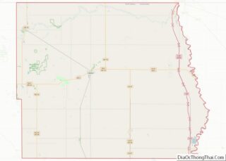
| County: | Pembina County |
| Founded: | 1884 |
| Elevation: | 1,066 ft (325 m) |
| Total Area: | 0.12 sq mi (0.32 km²) |
| Land Area: | 0.12 sq mi (0.32 km²) |
| Water Area: | 0.00 sq mi (0.00 km²) |
| Total Population: | 80 |
| Population Density: | 655.74/sq mi (252.26/km²) |
| ZIP code: | 58262 |
| Area code: | 701 |
| FIPS code: | 3854740 |
| GNISfeature ID: | 1030309 |
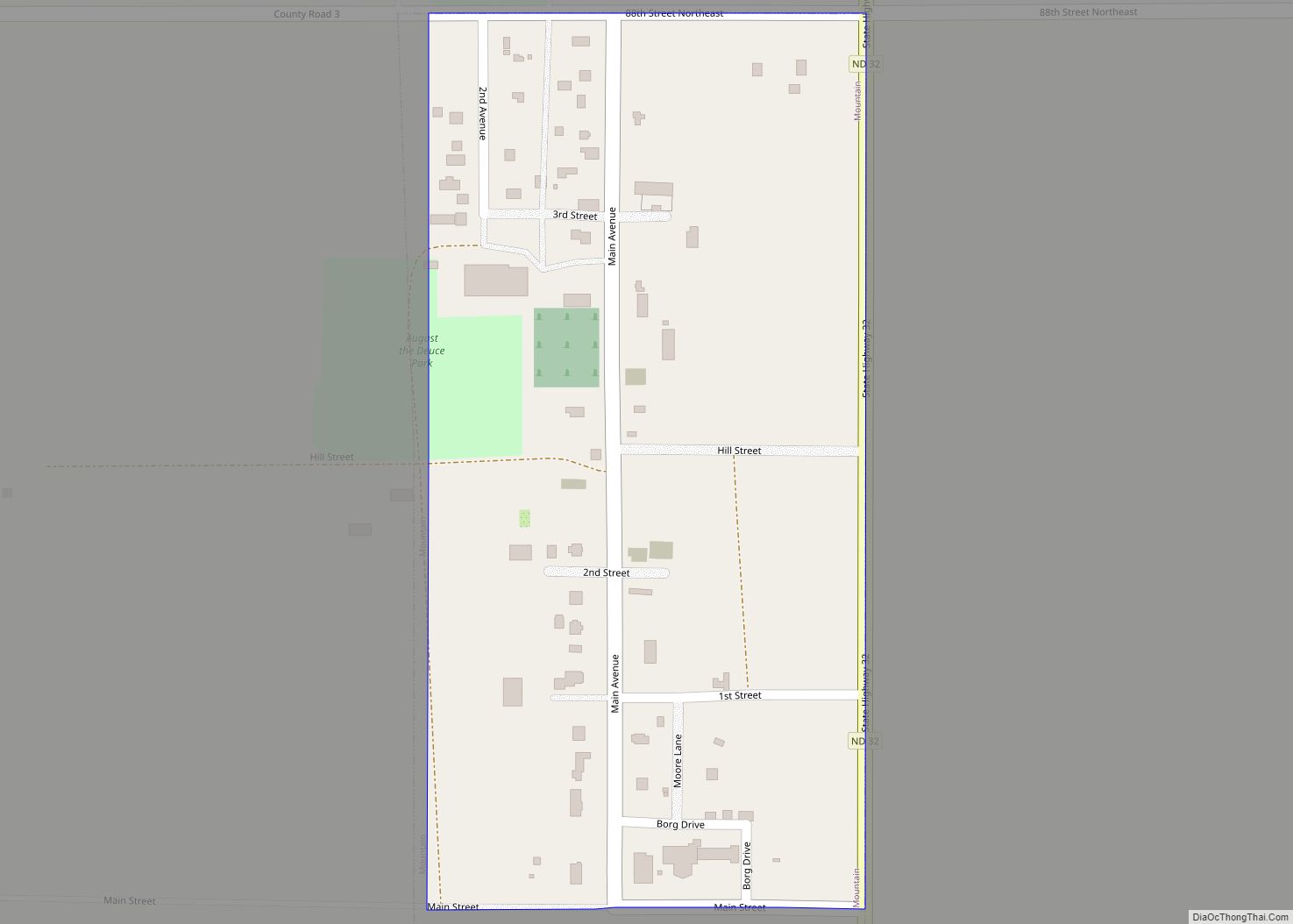
Online Interactive Map
Click on ![]() to view map in "full screen" mode.
to view map in "full screen" mode.
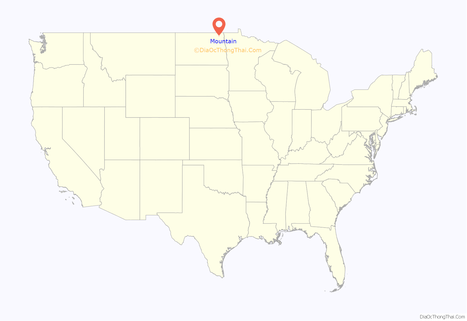
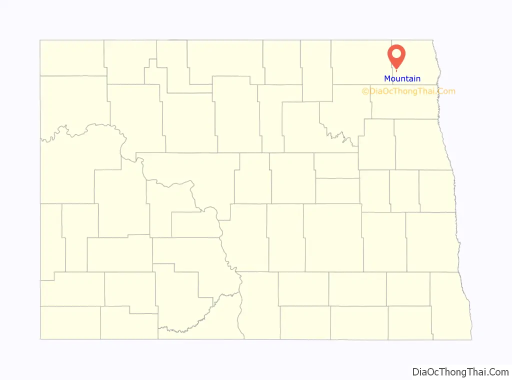
Mountain location map. Where is Mountain city?
History
In the spring of 1878, a small group of Icelanders came from Canada to explore Dakota Territory. Pastor Pall Thorlaksson is known as the Father of the Icelandic Settlement in Dakota which is centered around the city of Mountain, first known by the name, VIK, which means cove.
Mountain was officially laid out in 1884. The city was named on account of its lofty elevation. A post office called Mountain has been in operation since 1881. The Vikur Lutheran Church at Mountain was built in 1884.
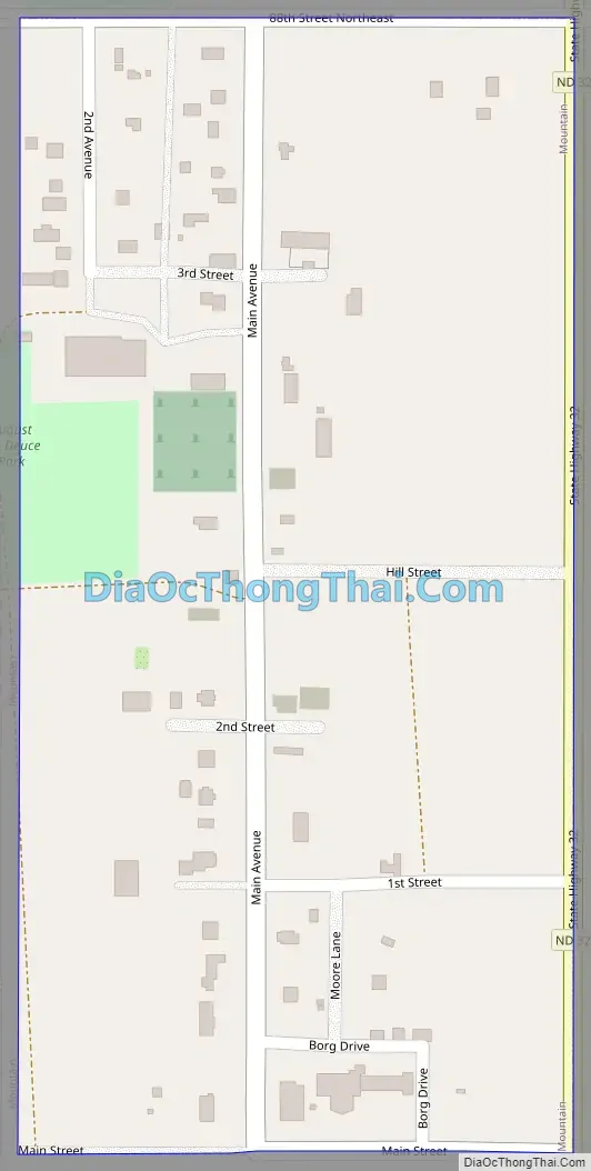
Mountain Road Map
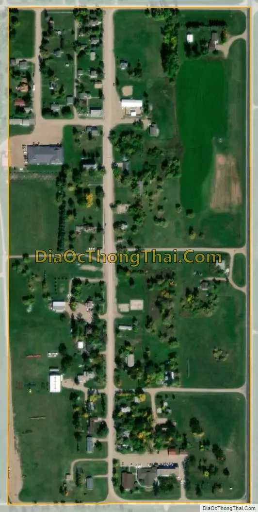
Mountain city Satellite Map
Geography
Mountain is located at 48°41′2″N 97°51′54″W / 48.68389°N 97.86500°W / 48.68389; -97.86500
According to the United States Census Bureau, the city has a total area of 0.14 square miles (0.36 km), all land.
See also
Map of North Dakota State and its subdivision:- Adams
- Barnes
- Benson
- Billings
- Bottineau
- Bowman
- Burke
- Burleigh
- Cass
- Cavalier
- Dickey
- Divide
- Dunn
- Eddy
- Emmons
- Foster
- Golden Valley
- Grand Forks
- Grant
- Griggs
- Hettinger
- Kidder
- Lamoure
- Logan
- McHenry
- McIntosh
- McKenzie
- McLean
- Mercer
- Morton
- Mountrail
- Nelson
- Oliver
- Pembina
- Pierce
- Ramsey
- Ransom
- Renville
- Richland
- Rolette
- Sargent
- Sheridan
- Sioux
- Slope
- Stark
- Steele
- Stutsman
- Towner
- Traill
- Walsh
- Ward
- Wells
- Williams
- Alabama
- Alaska
- Arizona
- Arkansas
- California
- Colorado
- Connecticut
- Delaware
- District of Columbia
- Florida
- Georgia
- Hawaii
- Idaho
- Illinois
- Indiana
- Iowa
- Kansas
- Kentucky
- Louisiana
- Maine
- Maryland
- Massachusetts
- Michigan
- Minnesota
- Mississippi
- Missouri
- Montana
- Nebraska
- Nevada
- New Hampshire
- New Jersey
- New Mexico
- New York
- North Carolina
- North Dakota
- Ohio
- Oklahoma
- Oregon
- Pennsylvania
- Rhode Island
- South Carolina
- South Dakota
- Tennessee
- Texas
- Utah
- Vermont
- Virginia
- Washington
- West Virginia
- Wisconsin
- Wyoming