Mylo is a city in Rolette County, North Dakota, United States. The population was 21 at the 2020 census.
| Name: | Mylo city |
|---|---|
| LSAD Code: | 25 |
| LSAD Description: | city (suffix) |
| State: | North Dakota |
| County: | Rolette County |
| Founded: | 1905 |
| Elevation: | 1,657 ft (505 m) |
| Total Area: | 0.86 sq mi (2.23 km²) |
| Land Area: | 0.86 sq mi (2.23 km²) |
| Water Area: | 0.00 sq mi (0.00 km²) |
| Total Population: | 21 |
| Population Density: | 24.36/sq mi (9.41/km²) |
| ZIP code: | 58353 |
| Area code: | 701 |
| FIPS code: | 3855220 |
| GNISfeature ID: | 1030349 |
Online Interactive Map
Click on ![]() to view map in "full screen" mode.
to view map in "full screen" mode.
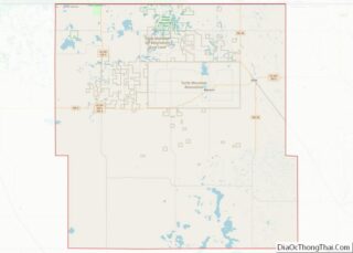
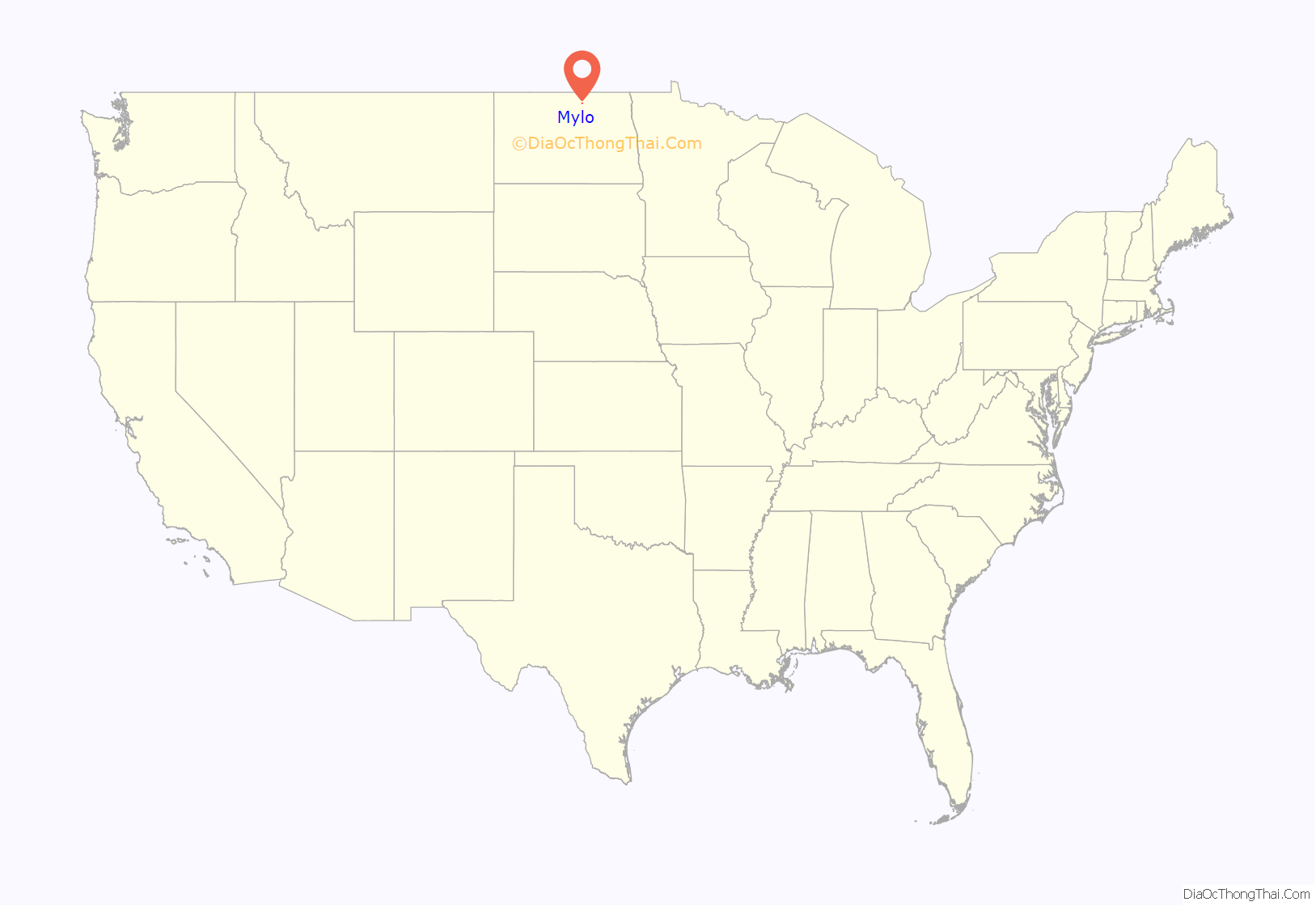
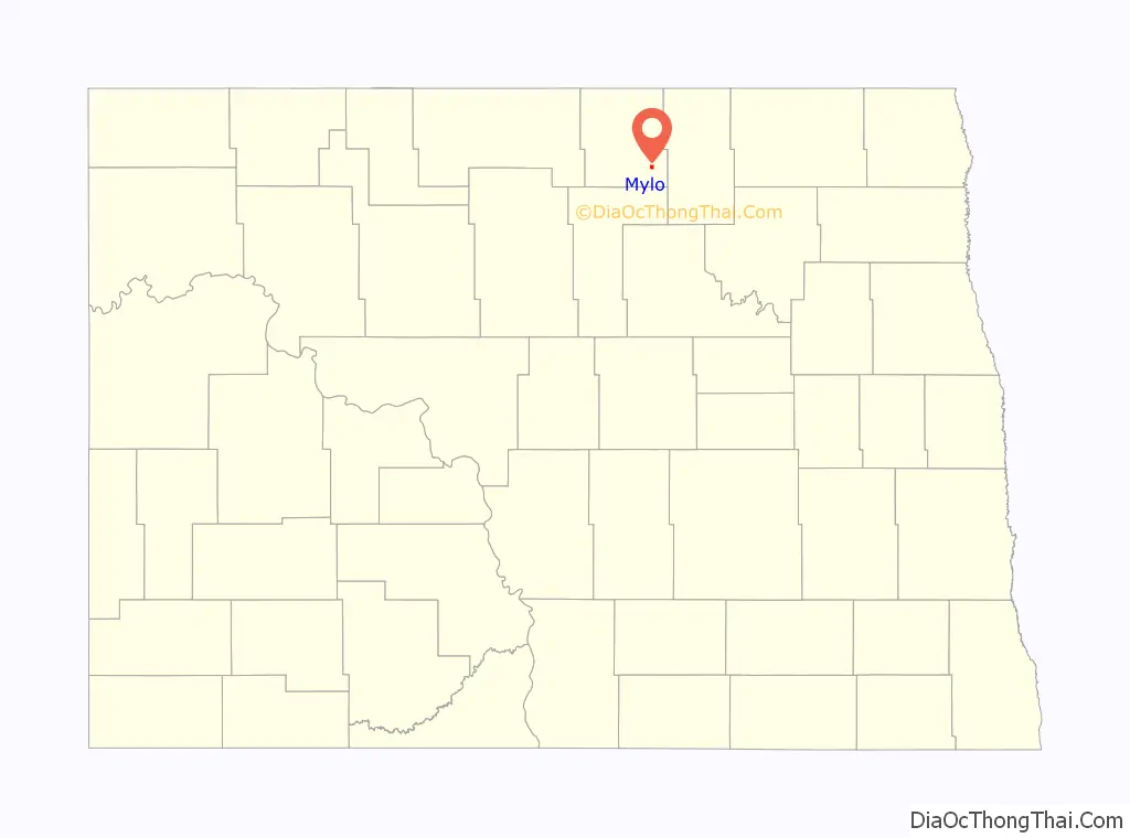
Mylo location map. Where is Mylo city?
History
In June 1905, lots were sold for what is now the Village of Mylo. In November 1905, the Minneapolis, St. Paul and Sault Ste. Marie railroad, simply known as the “Soo” or “Soo Line”, for the phonetic spelling of “Sault” in Sault Ste. Marie, came through Mylo. On November 18, 1905, crews working from the east and those working from the west met about one mile west of Mylo to complete this agricultural branch of the Soo Line. A Post Office was established in Mylo in 1905 and was in operation until its closing in 2011. The Mylo Post Office also provided the rural route service for the Towner County city of Perth, N.D. in the later years. Mylo was incorporated as a village in 1907. Some notable items from the Mylo City Council Meetings are as follows:
On April 8, 1908, with all members voting yes, that sidewalks be constructed of planks at least 1 3/4 inch in thickness, or shall be of cement construction, and shall be eight feet in width, and properly supported, and be constructed at such grades as shall be approved by the street commissioner. On September 7, 1910, the clerk was authorized to order five Oliver street lamps for the village. Ole Peterson got paid 10 dollars for lighting the street lamps for the years 1910 and 1911. On January 3, 1912, Wm. Hazlett was paid one dollar for board of prisoners. On October 10, 1918, a special meeting was called to prohibit the holding of any public meetings until further notice to prevent the spread of influenza. On April 12, 1921, motion was made and carried to have hitching posts put up to tie horses to. On September 23,1927, a special meeting was held to canvas the votes of a special election on whether or not to construct an electrical distribution system to be used in connection with the hi-line of the Otter Tail Power Co. This would give Otter Tail Power Co. permission to install and operate an electric light, power system and transmission line in the village for the purpose of furnishing electric lights, heat and power to the village and its inhabitants. There were 45 votes cast with all in favor of the construction. On January 15, 1937, the village board met and felt that as a result of the legalizing the sale of intoxicating liquor in the State of North Dakota and the adoption of the liquor control ordinance permitting the sale of intoxicating liquor in the village of Mylo, that additional police protection will be needed and to appoint a special officer to maintain order in the village. In 1954, Mylo signed an agreement with Northwest Bell Telephone Co. so they could put up poles and string wire so the residents could have telephones. Some of the businesses had phones prior to this.
It is not known for certain how Mylo got its name. It is said that it was possibly named after Melvin Small, who owned the land where Mylo was built, or it is named after Father Malo, the first Rolette County priest, or possibly named after the Soo Line agent who was involved in the location of the town site.
At its peak in 1920, Mylo had a peak population of 140. In the 2010 Census, the population of Mylo was shown to be 20, with no businesses in operation. The school in Mylo closed in the spring of 1973 and the last business in Mylo closed its doors in 1986.
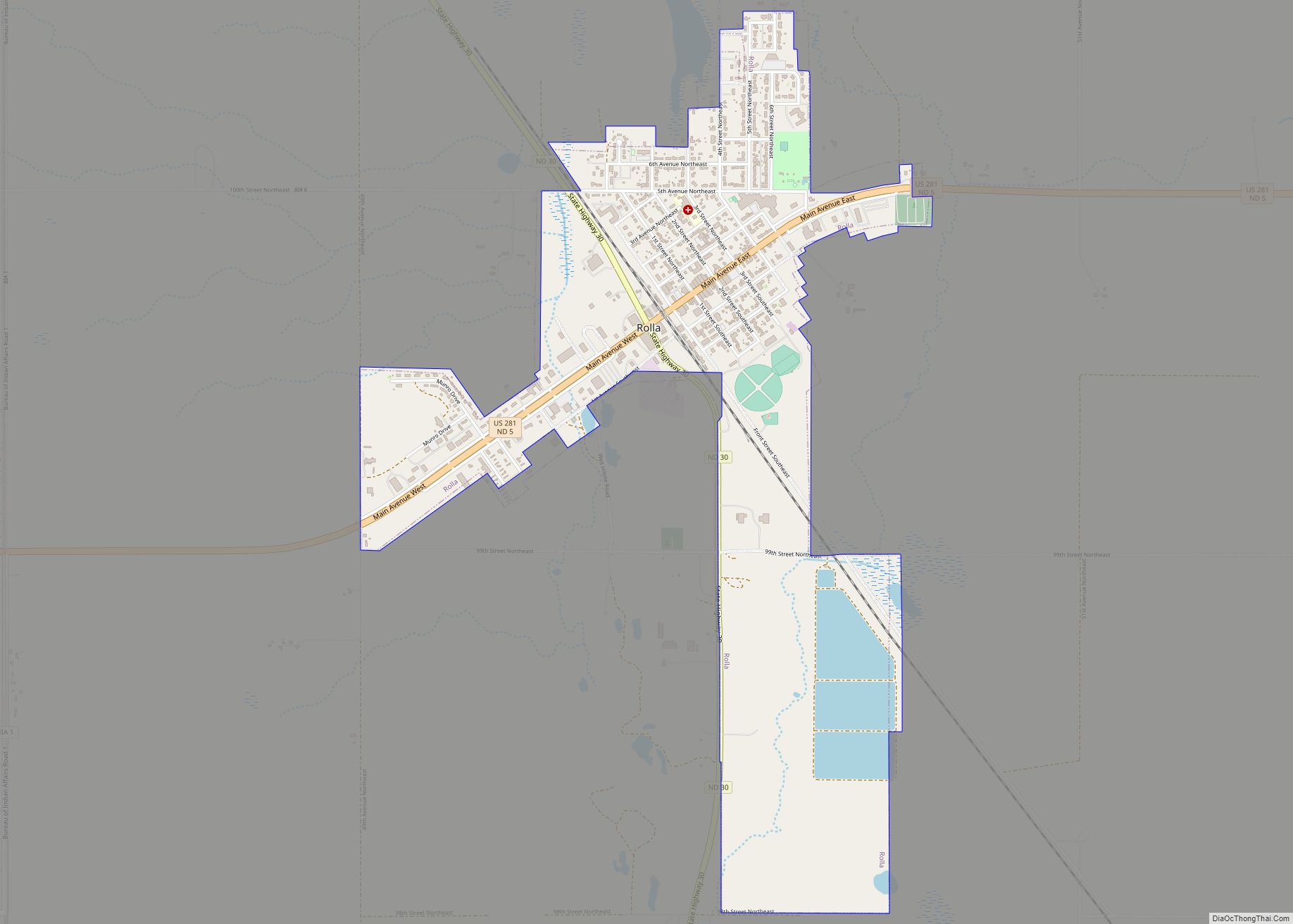
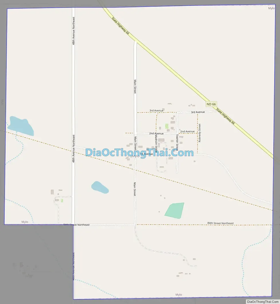
Mylo Road Map
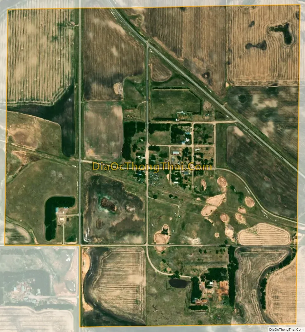
Mylo city Satellite Map
Geography
Mylo is located at 48°38′9″N 99°37′6″W / 48.63583°N 99.61833°W / 48.63583; -99.61833 (48.635874, -99.618277).
According to the United States Census Bureau, the city has a total area of 0.91 square miles (2.36 km), all land.
See also
Map of North Dakota State and its subdivision:- Adams
- Barnes
- Benson
- Billings
- Bottineau
- Bowman
- Burke
- Burleigh
- Cass
- Cavalier
- Dickey
- Divide
- Dunn
- Eddy
- Emmons
- Foster
- Golden Valley
- Grand Forks
- Grant
- Griggs
- Hettinger
- Kidder
- Lamoure
- Logan
- McHenry
- McIntosh
- McKenzie
- McLean
- Mercer
- Morton
- Mountrail
- Nelson
- Oliver
- Pembina
- Pierce
- Ramsey
- Ransom
- Renville
- Richland
- Rolette
- Sargent
- Sheridan
- Sioux
- Slope
- Stark
- Steele
- Stutsman
- Towner
- Traill
- Walsh
- Ward
- Wells
- Williams
- Alabama
- Alaska
- Arizona
- Arkansas
- California
- Colorado
- Connecticut
- Delaware
- District of Columbia
- Florida
- Georgia
- Hawaii
- Idaho
- Illinois
- Indiana
- Iowa
- Kansas
- Kentucky
- Louisiana
- Maine
- Maryland
- Massachusetts
- Michigan
- Minnesota
- Mississippi
- Missouri
- Montana
- Nebraska
- Nevada
- New Hampshire
- New Jersey
- New Mexico
- New York
- North Carolina
- North Dakota
- Ohio
- Oklahoma
- Oregon
- Pennsylvania
- Rhode Island
- South Carolina
- South Dakota
- Tennessee
- Texas
- Utah
- Vermont
- Virginia
- Washington
- West Virginia
- Wisconsin
- Wyoming