Neche (/ˈnɪtʃiː/ NITCH-ee) is a city in Pembina County, North Dakota, United States. It sits on the banks of the Pembina River. The population was 344 at the 2020 census.
| Name: | Neche city |
|---|---|
| LSAD Code: | 25 |
| LSAD Description: | city (suffix) |
| State: | North Dakota |
| County: | Pembina County |
| Founded: | 1882 |
| Elevation: | 823 ft (251 m) |
| Total Area: | 0.35 sq mi (0.90 km²) |
| Land Area: | 0.35 sq mi (0.90 km²) |
| Water Area: | 0.00 sq mi (0.00 km²) |
| Total Population: | 344 |
| Population Density: | 991.35/sq mi (382.90/km²) |
| ZIP code: | 58265 |
| Area code: | 701 |
| FIPS code: | 3855620 |
| GNISfeature ID: | 1030364 |
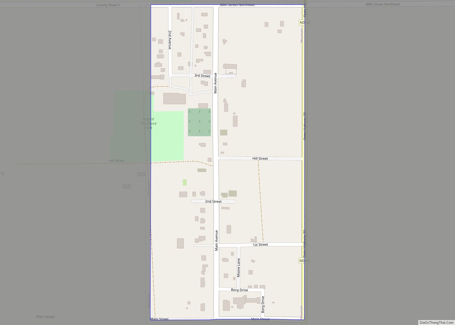
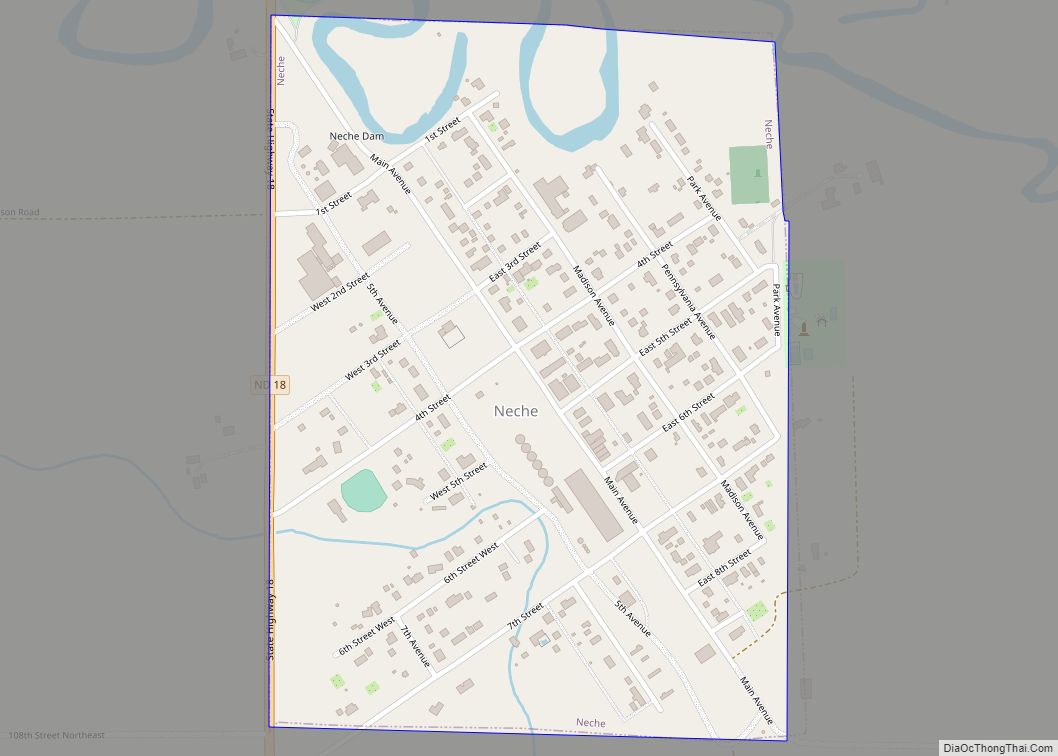
Online Interactive Map
Click on ![]() to view map in "full screen" mode.
to view map in "full screen" mode.
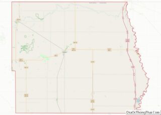
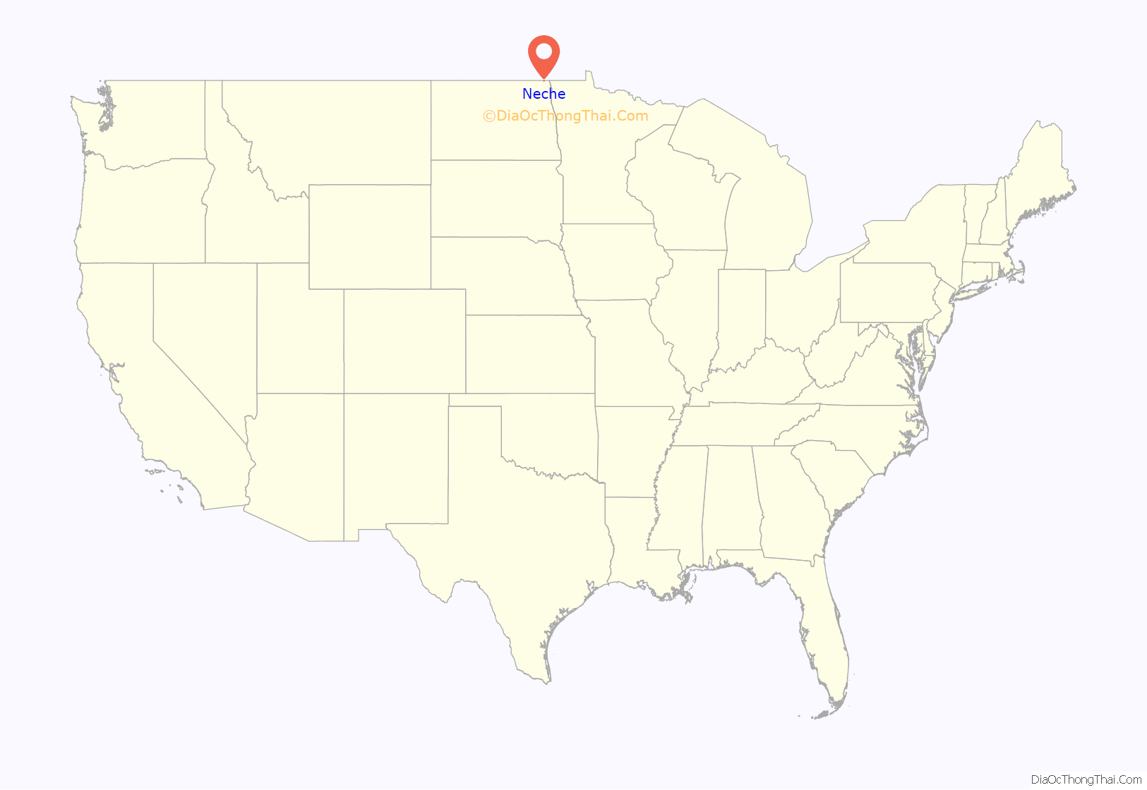
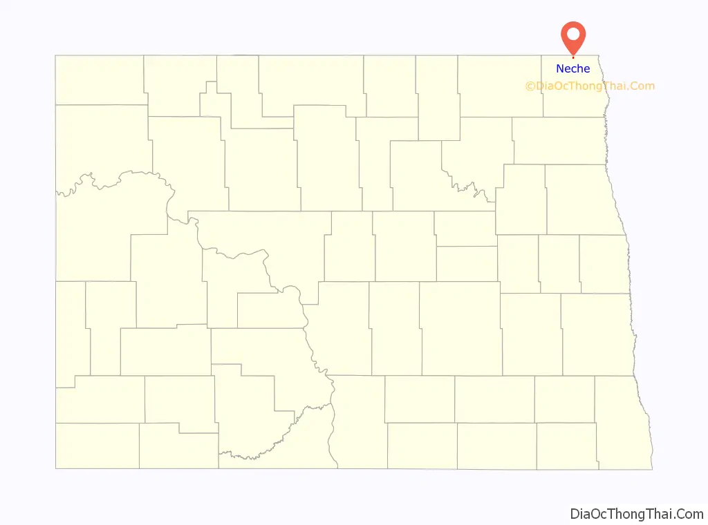
Neche location map. Where is Neche city?
History
Neche was laid out in 1882. The name is said to come from the Ojibwe word nidji, which means friend, neighbor, or one like myself.
William L. Walton built automobiles in Neche from 1902 to 1906.
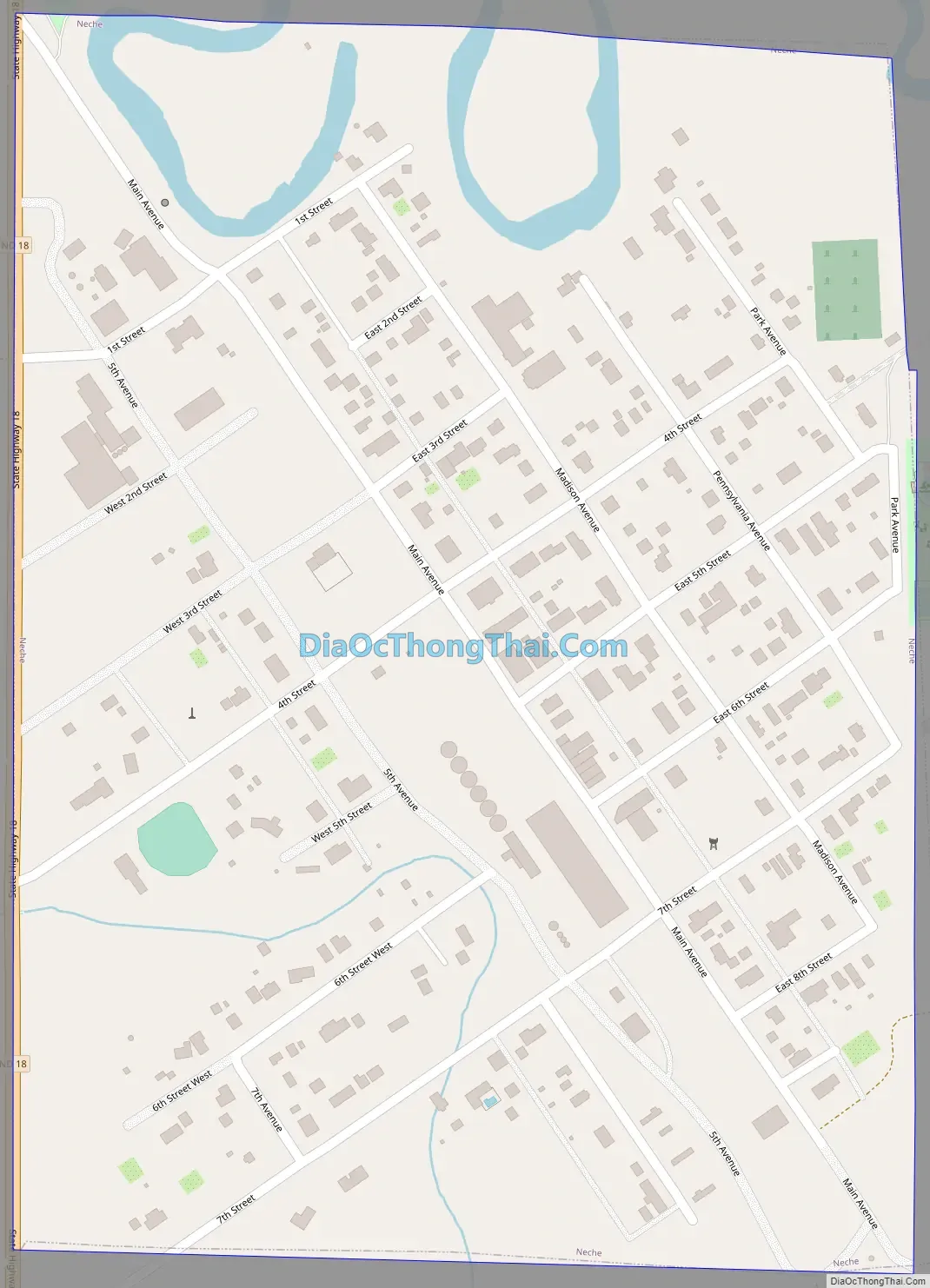
Neche Road Map
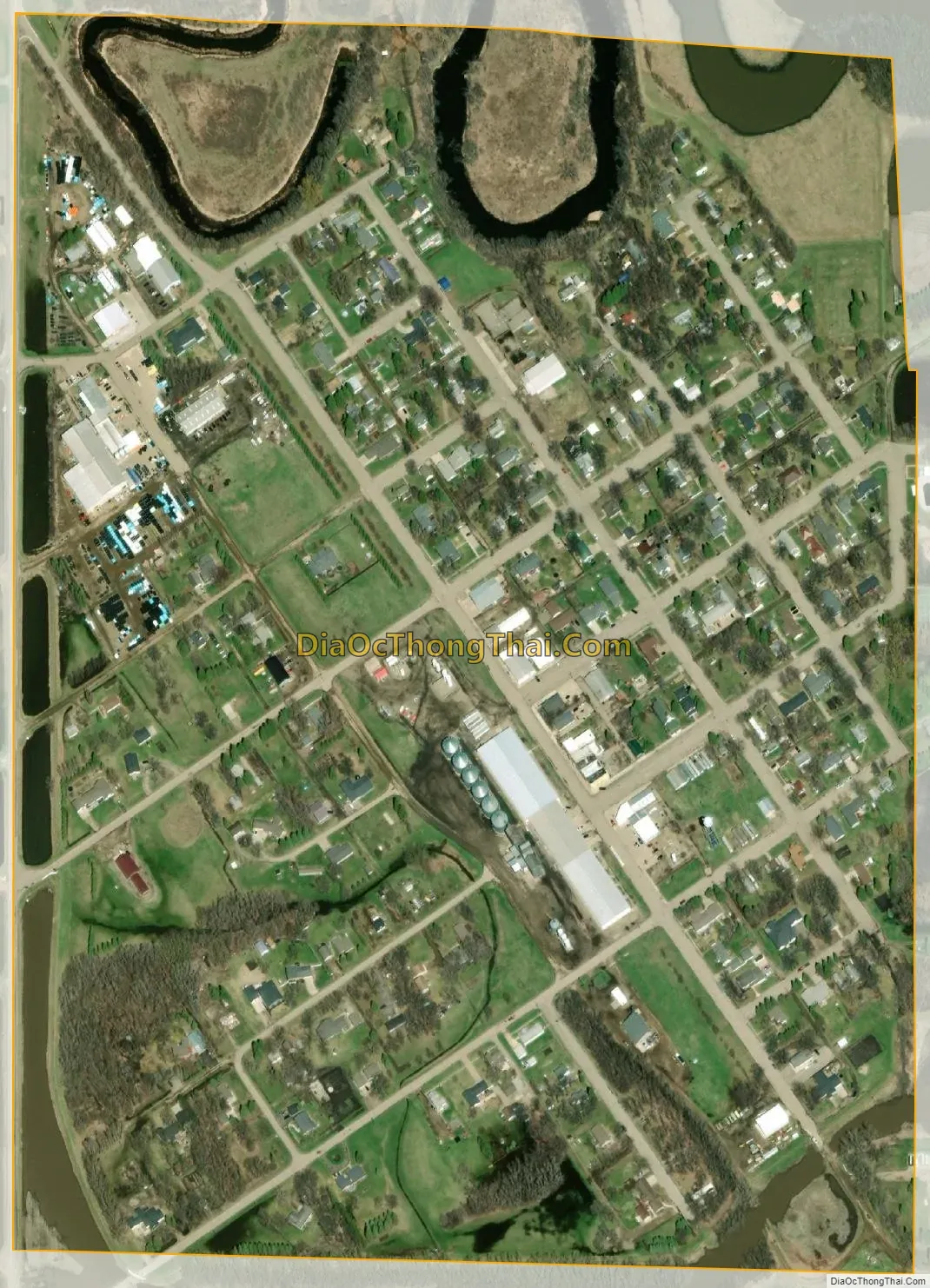
Neche city Satellite Map
Geography
Neche is located at 48°59′1″N 97°33′3″W / 48.98361°N 97.55083°W / 48.98361; -97.55083 (48.983610, -97.550732). According to the United States Census Bureau, the city has a total area of 0.35 square miles (0.91 km), all land.
Neche is approximately one mile south of the United States-Canada border, and the community of Gretna, Manitoba is located on the north side of the border. It is located near the Neche–Gretna Border Crossing.
See also
Map of North Dakota State and its subdivision:- Adams
- Barnes
- Benson
- Billings
- Bottineau
- Bowman
- Burke
- Burleigh
- Cass
- Cavalier
- Dickey
- Divide
- Dunn
- Eddy
- Emmons
- Foster
- Golden Valley
- Grand Forks
- Grant
- Griggs
- Hettinger
- Kidder
- Lamoure
- Logan
- McHenry
- McIntosh
- McKenzie
- McLean
- Mercer
- Morton
- Mountrail
- Nelson
- Oliver
- Pembina
- Pierce
- Ramsey
- Ransom
- Renville
- Richland
- Rolette
- Sargent
- Sheridan
- Sioux
- Slope
- Stark
- Steele
- Stutsman
- Towner
- Traill
- Walsh
- Ward
- Wells
- Williams
- Alabama
- Alaska
- Arizona
- Arkansas
- California
- Colorado
- Connecticut
- Delaware
- District of Columbia
- Florida
- Georgia
- Hawaii
- Idaho
- Illinois
- Indiana
- Iowa
- Kansas
- Kentucky
- Louisiana
- Maine
- Maryland
- Massachusetts
- Michigan
- Minnesota
- Mississippi
- Missouri
- Montana
- Nebraska
- Nevada
- New Hampshire
- New Jersey
- New Mexico
- New York
- North Carolina
- North Dakota
- Ohio
- Oklahoma
- Oregon
- Pennsylvania
- Rhode Island
- South Carolina
- South Dakota
- Tennessee
- Texas
- Utah
- Vermont
- Virginia
- Washington
- West Virginia
- Wisconsin
- Wyoming