Raleigh is a census-designated place (CDP) in Grant County, North Dakota, United States. An unincorporated community, it was designated as part of the U.S. Census Bureau’s Participant Statistical Areas Program on March 31, 2010. It was not counted separately during the 2000 Census, but was included in the 2010 Census, where a population of 12 was reported.
| Name: | Raleigh CDP |
|---|---|
| LSAD Code: | 57 |
| LSAD Description: | CDP (suffix) |
| State: | North Dakota |
| County: | Grant County |
| Elevation: | 2,057 ft (627 m) |
| Total Area: | 0.29 sq mi (0.74 km²) |
| Land Area: | 0.29 sq mi (0.74 km²) |
| Water Area: | 0.00 sq mi (0.00 km²) |
| Total Population: | 14 |
| Population Density: | 48.78/sq mi (18.83/km²) |
| Area code: | 701 |
| FIPS code: | 3865100 |
| GNISfeature ID: | 2584354 |
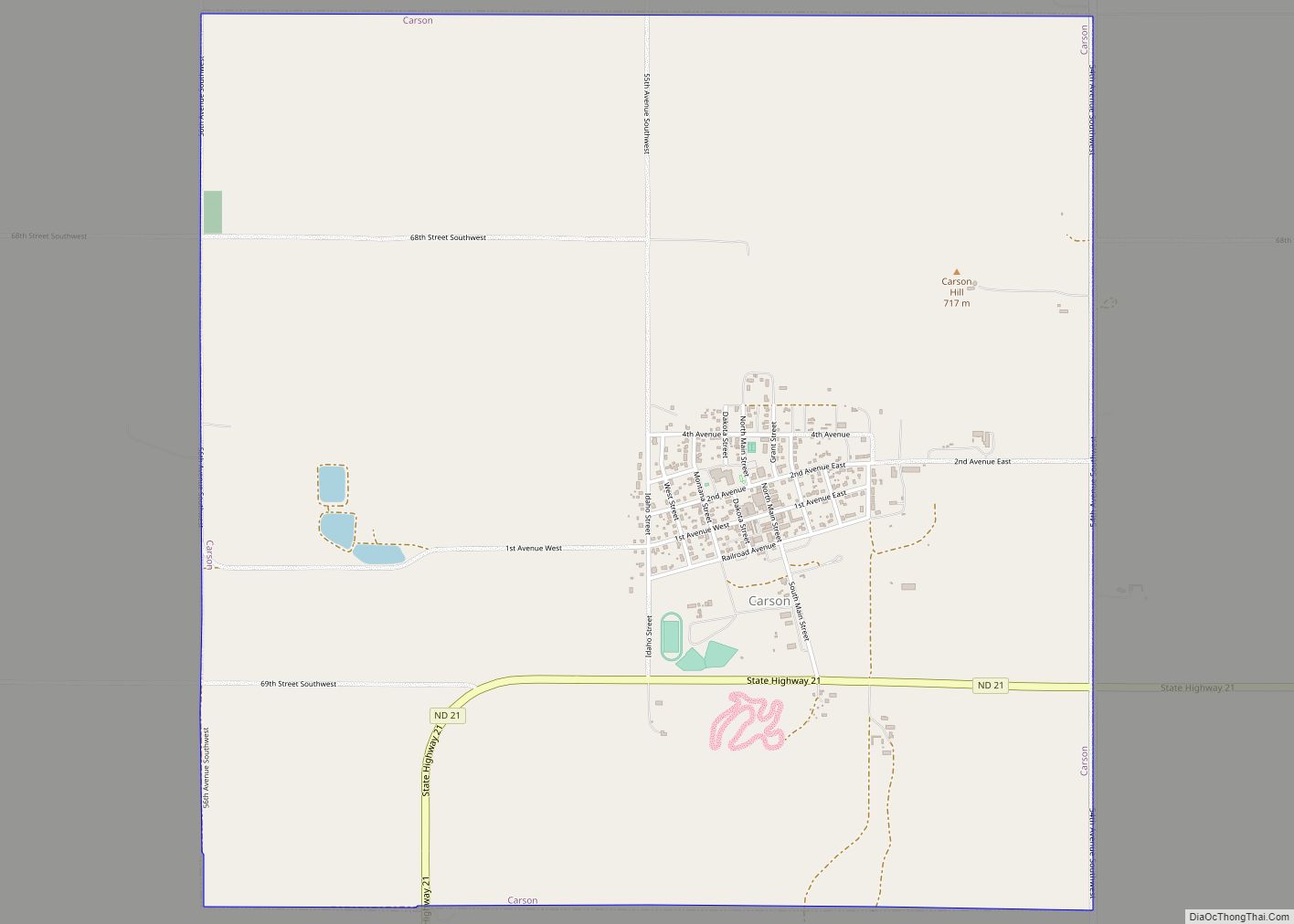
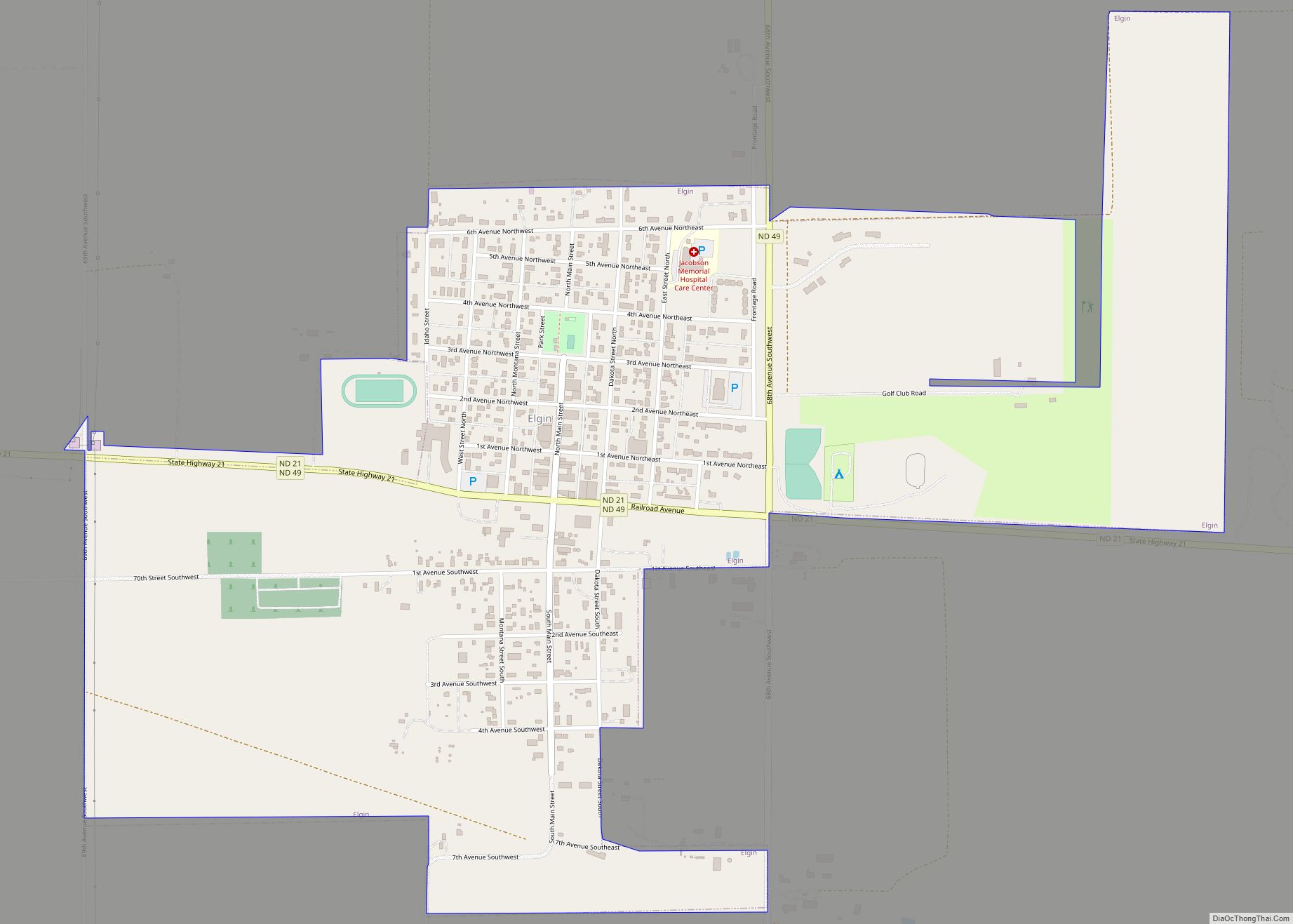
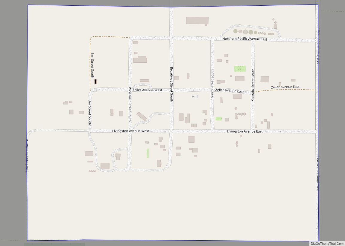
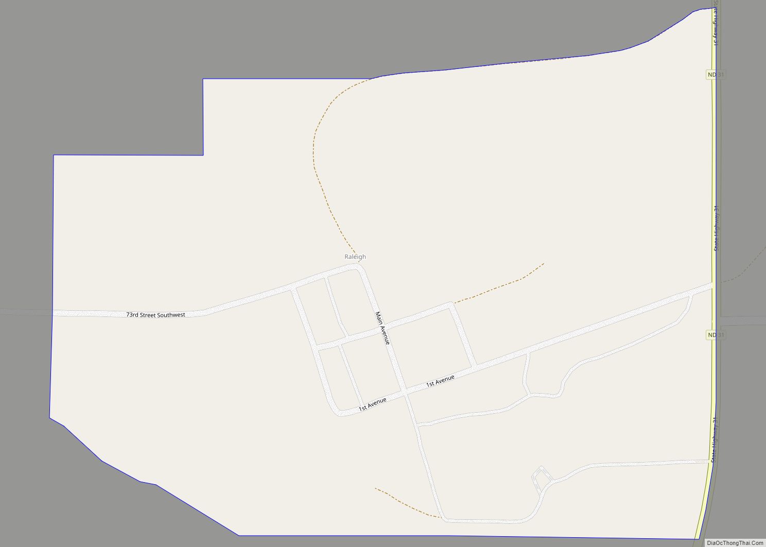
Online Interactive Map
Click on ![]() to view map in "full screen" mode.
to view map in "full screen" mode.
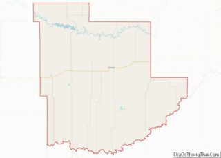
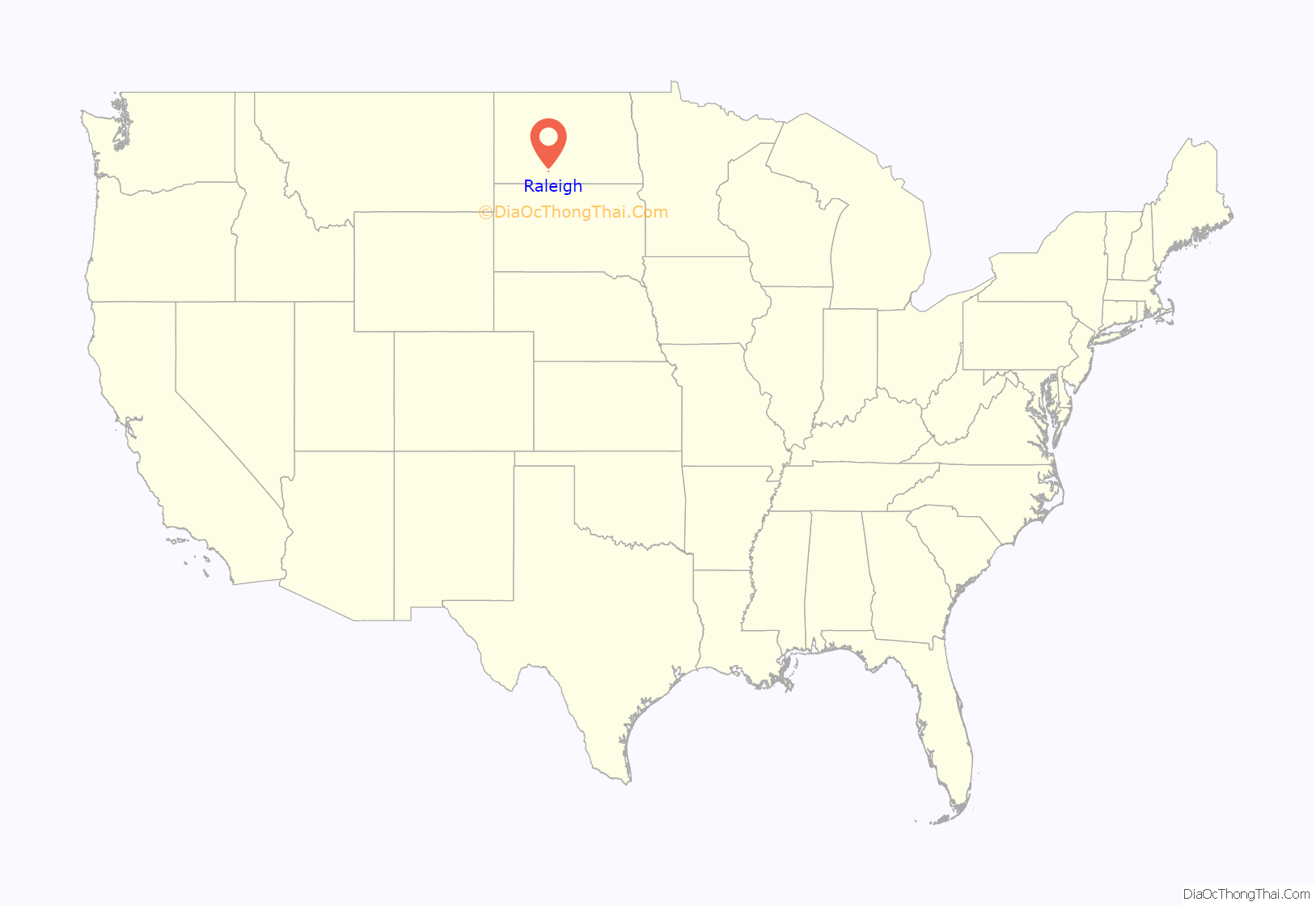
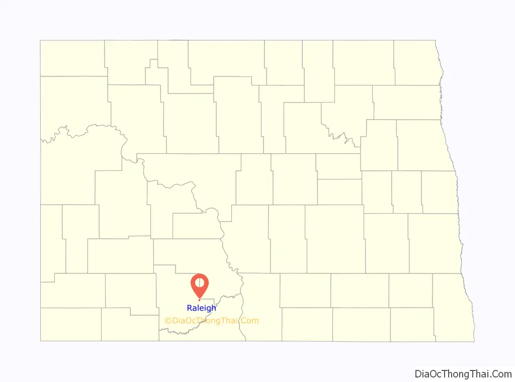
Raleigh location map. Where is Raleigh CDP?
History
Raleigh is situated in what was originally Morton County but today is Grant County. Raleigh was created as a coaling stop along the Milwaukee Road branch line that separated from the railroad’s Pacific Extension in McLaughlin, South Dakota and ran to New England, North Dakota. The name comes from Sir Walter Raleigh and was settled by a wave of German Russians who had previously settled near Strasburg in Emmons County.
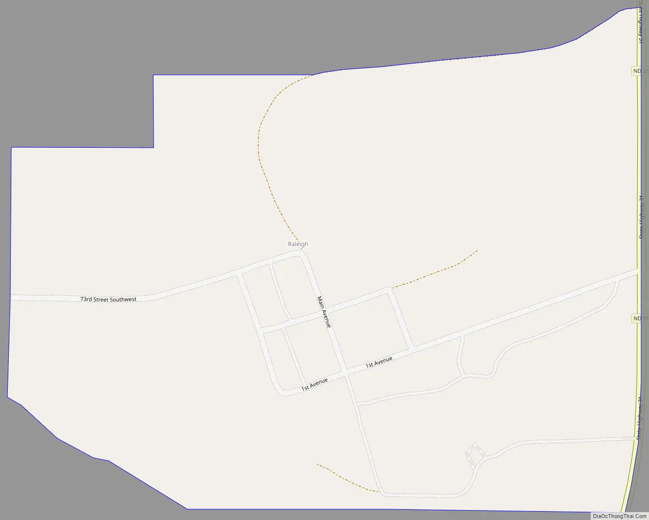
Raleigh Road Map
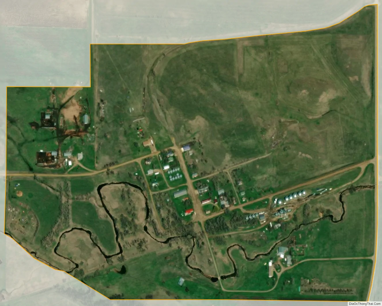
Raleigh city Satellite Map
Geography
Raleigh is located at 46°21′28″N 101°18′23″W / 46.35778°N 101.30639°W / 46.35778; -101.30639 (46.357781 -101.306528). It is located in the northeast quarter of section 12 of Township 133 north, Range 86 west. The post office opened October 1, 1910, with Charles C. Leonard as postmaster, after he moved his general store here from Dogtooth, a nearby town and post office which soon afterward ceased to exist.
See also
Map of North Dakota State and its subdivision:- Adams
- Barnes
- Benson
- Billings
- Bottineau
- Bowman
- Burke
- Burleigh
- Cass
- Cavalier
- Dickey
- Divide
- Dunn
- Eddy
- Emmons
- Foster
- Golden Valley
- Grand Forks
- Grant
- Griggs
- Hettinger
- Kidder
- Lamoure
- Logan
- McHenry
- McIntosh
- McKenzie
- McLean
- Mercer
- Morton
- Mountrail
- Nelson
- Oliver
- Pembina
- Pierce
- Ramsey
- Ransom
- Renville
- Richland
- Rolette
- Sargent
- Sheridan
- Sioux
- Slope
- Stark
- Steele
- Stutsman
- Towner
- Traill
- Walsh
- Ward
- Wells
- Williams
- Alabama
- Alaska
- Arizona
- Arkansas
- California
- Colorado
- Connecticut
- Delaware
- District of Columbia
- Florida
- Georgia
- Hawaii
- Idaho
- Illinois
- Indiana
- Iowa
- Kansas
- Kentucky
- Louisiana
- Maine
- Maryland
- Massachusetts
- Michigan
- Minnesota
- Mississippi
- Missouri
- Montana
- Nebraska
- Nevada
- New Hampshire
- New Jersey
- New Mexico
- New York
- North Carolina
- North Dakota
- Ohio
- Oklahoma
- Oregon
- Pennsylvania
- Rhode Island
- South Carolina
- South Dakota
- Tennessee
- Texas
- Utah
- Vermont
- Virginia
- Washington
- West Virginia
- Wisconsin
- Wyoming