Reile’s Acres is a city in Cass County, North Dakota, United States. The population was 703 at the 2020 census. It is a suburb of Fargo. Reile’s Acres was founded in 1977.
| Name: | Reile’s Acres city |
|---|---|
| LSAD Code: | 25 |
| LSAD Description: | city (suffix) |
| State: | North Dakota |
| County: | Cass County |
| Founded: | 1977 |
| Elevation: | 892 ft (272 m) |
| Total Area: | 0.50 sq mi (1.30 km²) |
| Land Area: | 0.50 sq mi (1.30 km²) |
| Water Area: | 0.00 sq mi (0.00 km²) |
| Total Population: | 703 |
| Population Density: | 1,400.40/sq mi (541.11/km²) |
| ZIP code: | 58102 |
| Area code: | 701 |
| FIPS code: | 3866040 |
| GNISfeature ID: | 1037272 |
| Website: | reilesacresnd.org |
Online Interactive Map
Click on ![]() to view map in "full screen" mode.
to view map in "full screen" mode.
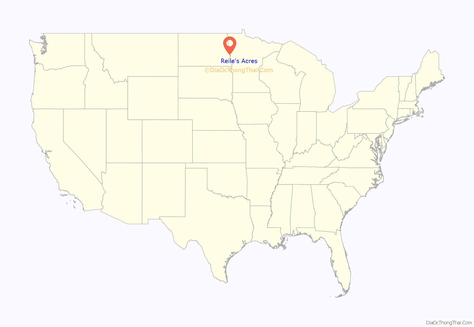
Reile’s Acres location map. Where is Reile’s Acres city?
History
On February 22, 1977, at 9:30, Reile’s Acres was incorporated as a city by order of the Cass County ND Commission with a population of 147. In 1976, just before the incorporation, the new city had 31 homes with a total value of $164,248.00 or an average value of roughly $5,300.00 per home. Reile’s Acres is named for Reinhold Reile who originally owned the land and had a farmstead on the site. Therefore, the city is properly referred to with the apostrophe in Reile’s. The move toward incorporation came about when the development of Reile’s Acres reached a point where the Reed Township Board could not handle the costs of road maintenance. Residents of the Reile’s Acres area said that through incorporation, state and federal funds as well as tax money would be available to take care of those needs.
On April 26, 1977, Reile’s Acres held its very first election, at the Clark Zick residence. A total of 52 of the 82 eligible voters participating in the election chose Jim Lutz mayor, with 37 votes, the city chose four council members that night as well. Clarence Paschke, Susan Cleary, Millie Tareski and David Domier were the city’s choices for four and two year terms.
Reile’s Acres Road Map
Reile’s Acres city Satellite Map
Geography
According to the United States Census Bureau, the city has a total area of 0.48 square miles (1.24 km), all land.
See also
Map of North Dakota State and its subdivision:- Adams
- Barnes
- Benson
- Billings
- Bottineau
- Bowman
- Burke
- Burleigh
- Cass
- Cavalier
- Dickey
- Divide
- Dunn
- Eddy
- Emmons
- Foster
- Golden Valley
- Grand Forks
- Grant
- Griggs
- Hettinger
- Kidder
- Lamoure
- Logan
- McHenry
- McIntosh
- McKenzie
- McLean
- Mercer
- Morton
- Mountrail
- Nelson
- Oliver
- Pembina
- Pierce
- Ramsey
- Ransom
- Renville
- Richland
- Rolette
- Sargent
- Sheridan
- Sioux
- Slope
- Stark
- Steele
- Stutsman
- Towner
- Traill
- Walsh
- Ward
- Wells
- Williams
- Alabama
- Alaska
- Arizona
- Arkansas
- California
- Colorado
- Connecticut
- Delaware
- District of Columbia
- Florida
- Georgia
- Hawaii
- Idaho
- Illinois
- Indiana
- Iowa
- Kansas
- Kentucky
- Louisiana
- Maine
- Maryland
- Massachusetts
- Michigan
- Minnesota
- Mississippi
- Missouri
- Montana
- Nebraska
- Nevada
- New Hampshire
- New Jersey
- New Mexico
- New York
- North Carolina
- North Dakota
- Ohio
- Oklahoma
- Oregon
- Pennsylvania
- Rhode Island
- South Carolina
- South Dakota
- Tennessee
- Texas
- Utah
- Vermont
- Virginia
- Washington
- West Virginia
- Wisconsin
- Wyoming
