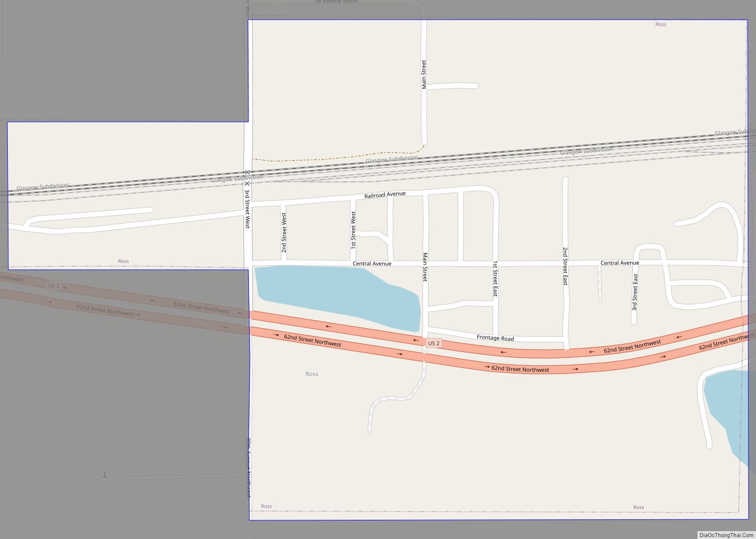
Ross is a city in Mountrail County, North Dakota, United States. The population was 95 at the 2020 census.
| Name: | Ross city |
|---|---|
| LSAD Code: | 25 |
| LSAD Description: | city (suffix) |
| State: | North Dakota |
| County: | Mountrail County |
| Founded: | 1902 |
| Elevation: | 2,303 ft (702 m) |
| Total Area: | 0.29 sq mi (0.75 km²) |
| Land Area: | 0.29 sq mi (0.75 km²) |
| Water Area: | 0.00 sq mi (0.00 km²) |
| Total Population: | 95 |
| Population Density: | 329.86/sq mi (127.51/km²) |
| ZIP code: | 58776 |
| Area code: | 701 |
| FIPS code: | 3868540 |
| GNISfeature ID: | 1031006 |
| Website: | cityofross.com |
Online Interactive Map
Click on ![]() to view map in "full screen" mode.
to view map in "full screen" mode.
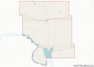
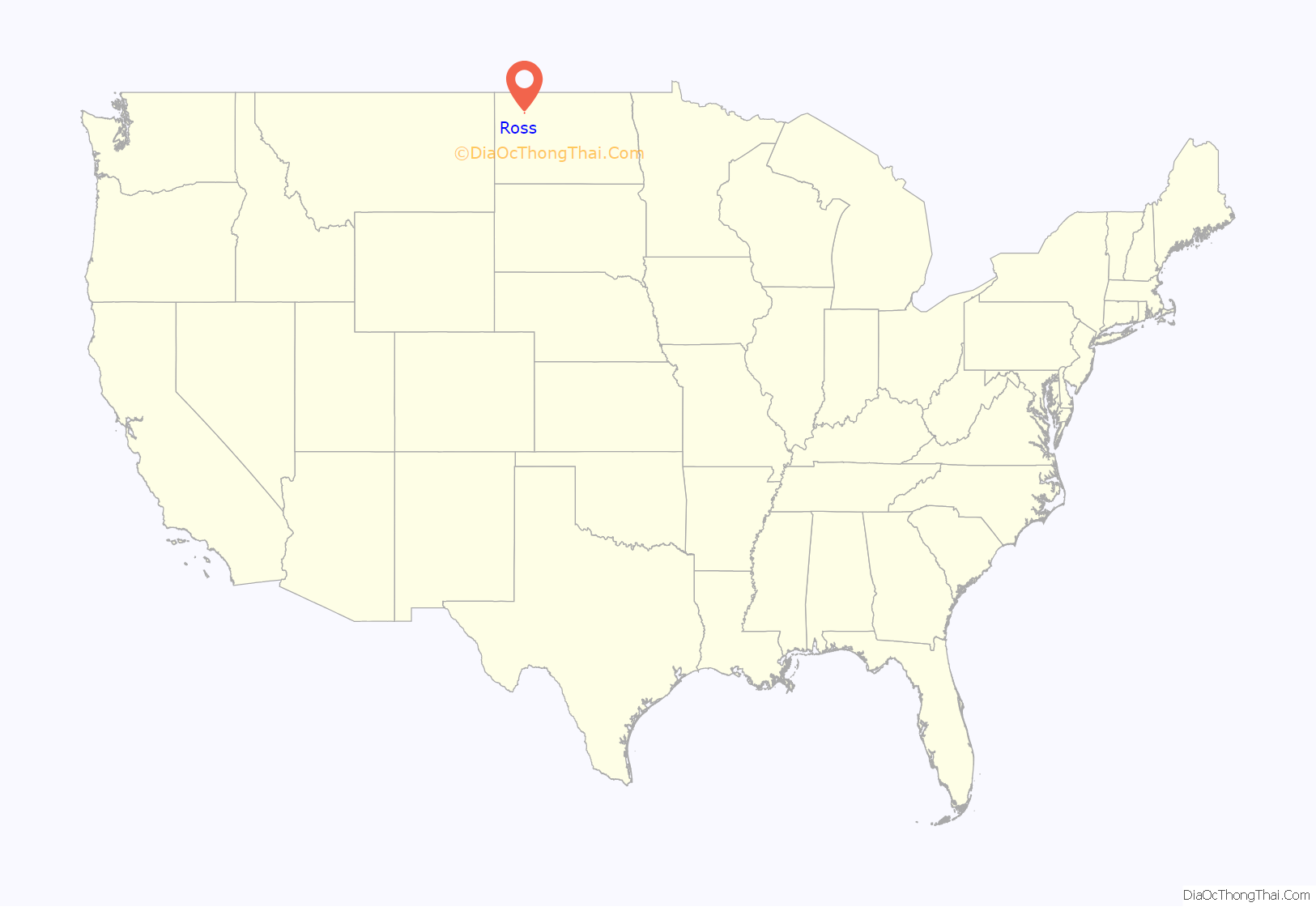
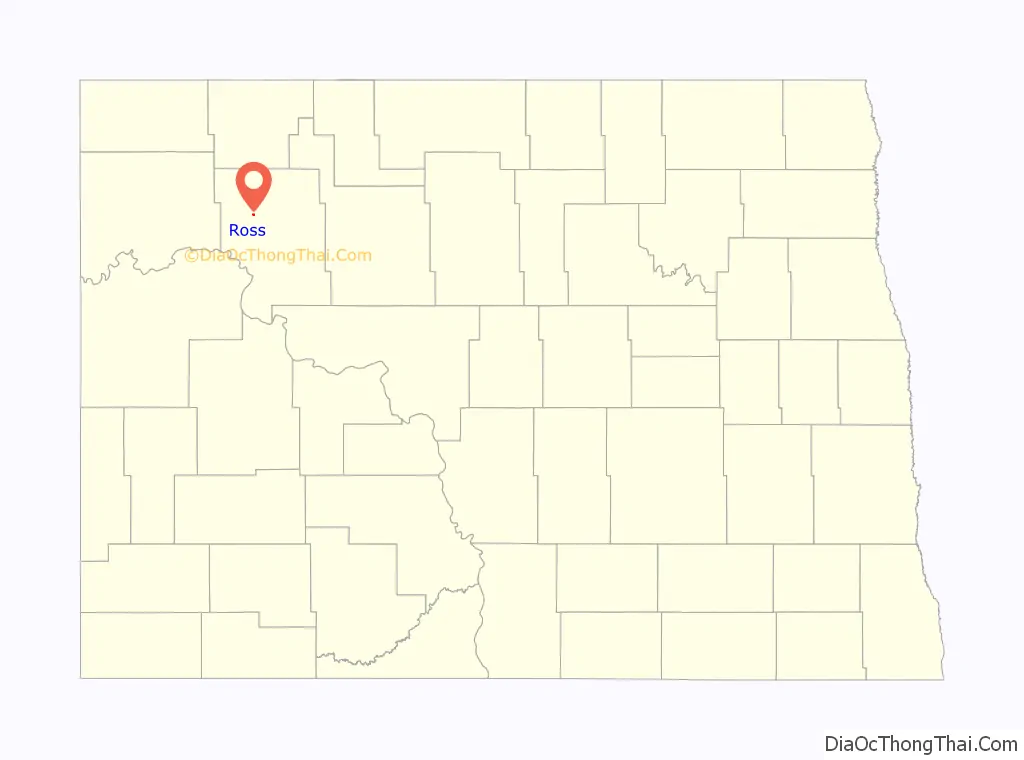
Ross location map. Where is Ross city?
History
Ross was founded in 1902. It was the site of the first structure built in the United States specifically intended to serve as a mosque. Established in 1929, the mosque fell into disrepair and was dismantled. In 2005, the edifice was rebuilt by the family of one of the last remaining Muslims in the area. The community that built the mosque were Syrian–Lebanese immigrants who settled the region starting in the late 19th century to take advantage of the Homestead Act. The mosque was featured on NPR’s Weekend Edition on September 12, 2010.
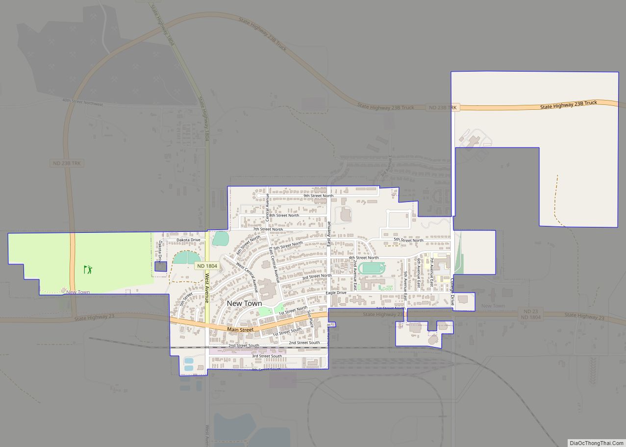
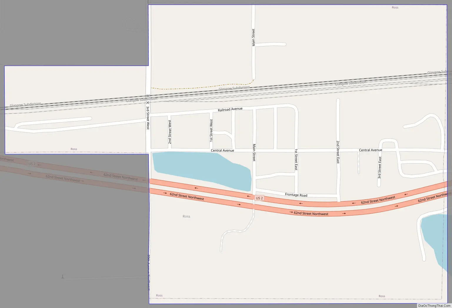
Ross Road Map
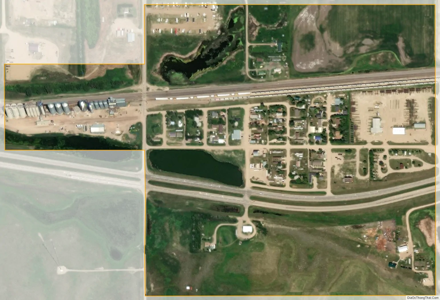
Ross city Satellite Map
Geography
Ross is located at 48°18′47″N 102°32′36″W / 48.31306°N 102.54333°W / 48.31306; -102.54333 (48.313105, -102.543263).
According to the United States Census Bureau, the city has a total area of 0.28 square miles (0.73 km), all land.
See also
Map of North Dakota State and its subdivision:- Adams
- Barnes
- Benson
- Billings
- Bottineau
- Bowman
- Burke
- Burleigh
- Cass
- Cavalier
- Dickey
- Divide
- Dunn
- Eddy
- Emmons
- Foster
- Golden Valley
- Grand Forks
- Grant
- Griggs
- Hettinger
- Kidder
- Lamoure
- Logan
- McHenry
- McIntosh
- McKenzie
- McLean
- Mercer
- Morton
- Mountrail
- Nelson
- Oliver
- Pembina
- Pierce
- Ramsey
- Ransom
- Renville
- Richland
- Rolette
- Sargent
- Sheridan
- Sioux
- Slope
- Stark
- Steele
- Stutsman
- Towner
- Traill
- Walsh
- Ward
- Wells
- Williams
- Alabama
- Alaska
- Arizona
- Arkansas
- California
- Colorado
- Connecticut
- Delaware
- District of Columbia
- Florida
- Georgia
- Hawaii
- Idaho
- Illinois
- Indiana
- Iowa
- Kansas
- Kentucky
- Louisiana
- Maine
- Maryland
- Massachusetts
- Michigan
- Minnesota
- Mississippi
- Missouri
- Montana
- Nebraska
- Nevada
- New Hampshire
- New Jersey
- New Mexico
- New York
- North Carolina
- North Dakota
- Ohio
- Oklahoma
- Oregon
- Pennsylvania
- Rhode Island
- South Carolina
- South Dakota
- Tennessee
- Texas
- Utah
- Vermont
- Virginia
- Washington
- West Virginia
- Wisconsin
- Wyoming