Syria occupies an area of around 185,180 sq. km in the Arabian Peninsula.
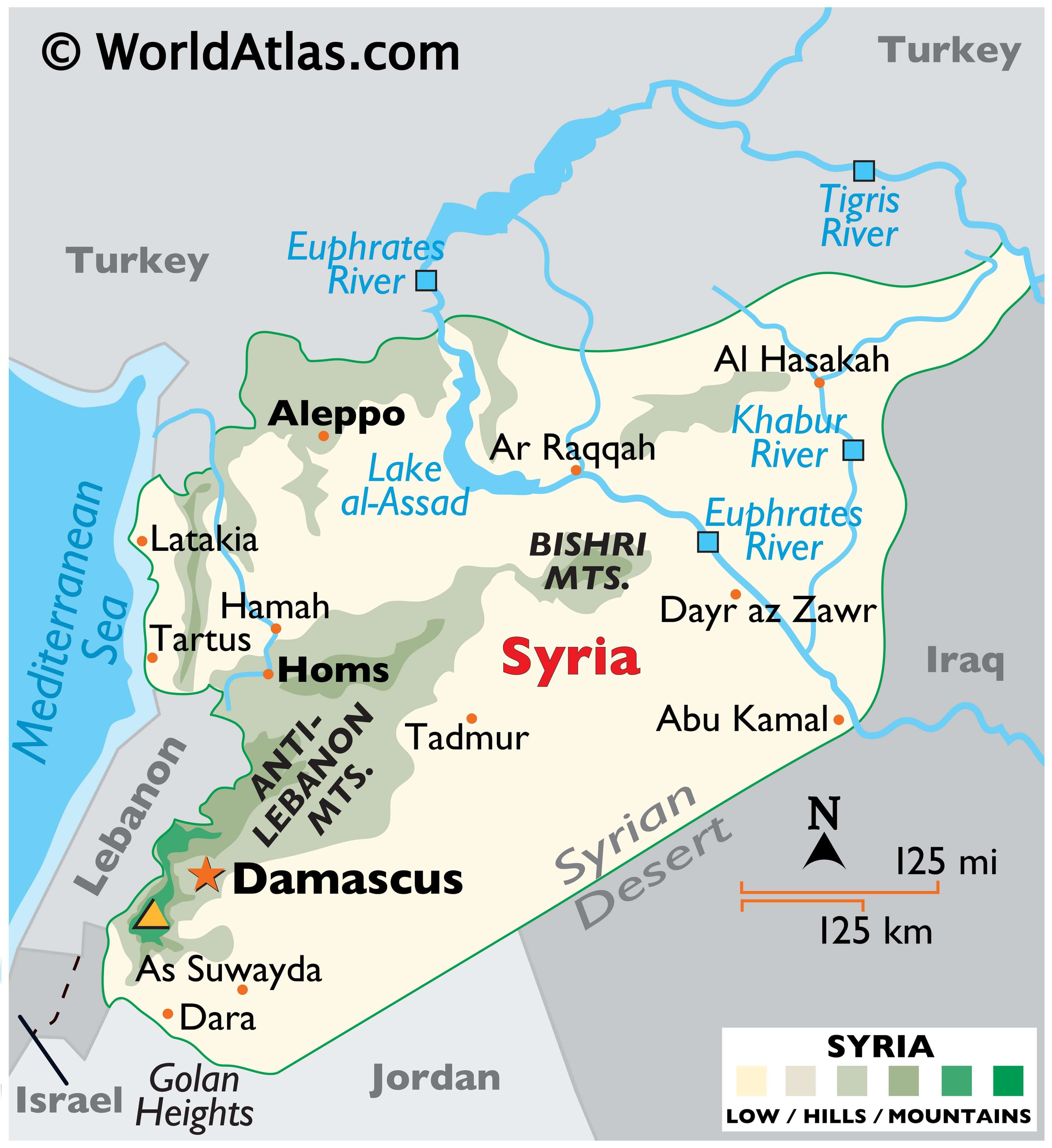
In general terms, Syria is a flat desert plateau, dissected by mountains with a narrow coastal plain to the west that fronts the Mediterranean Sea.
The coastline of Syria is around 180 km long and features sandy bays, low cliffs, and rocky headlands.
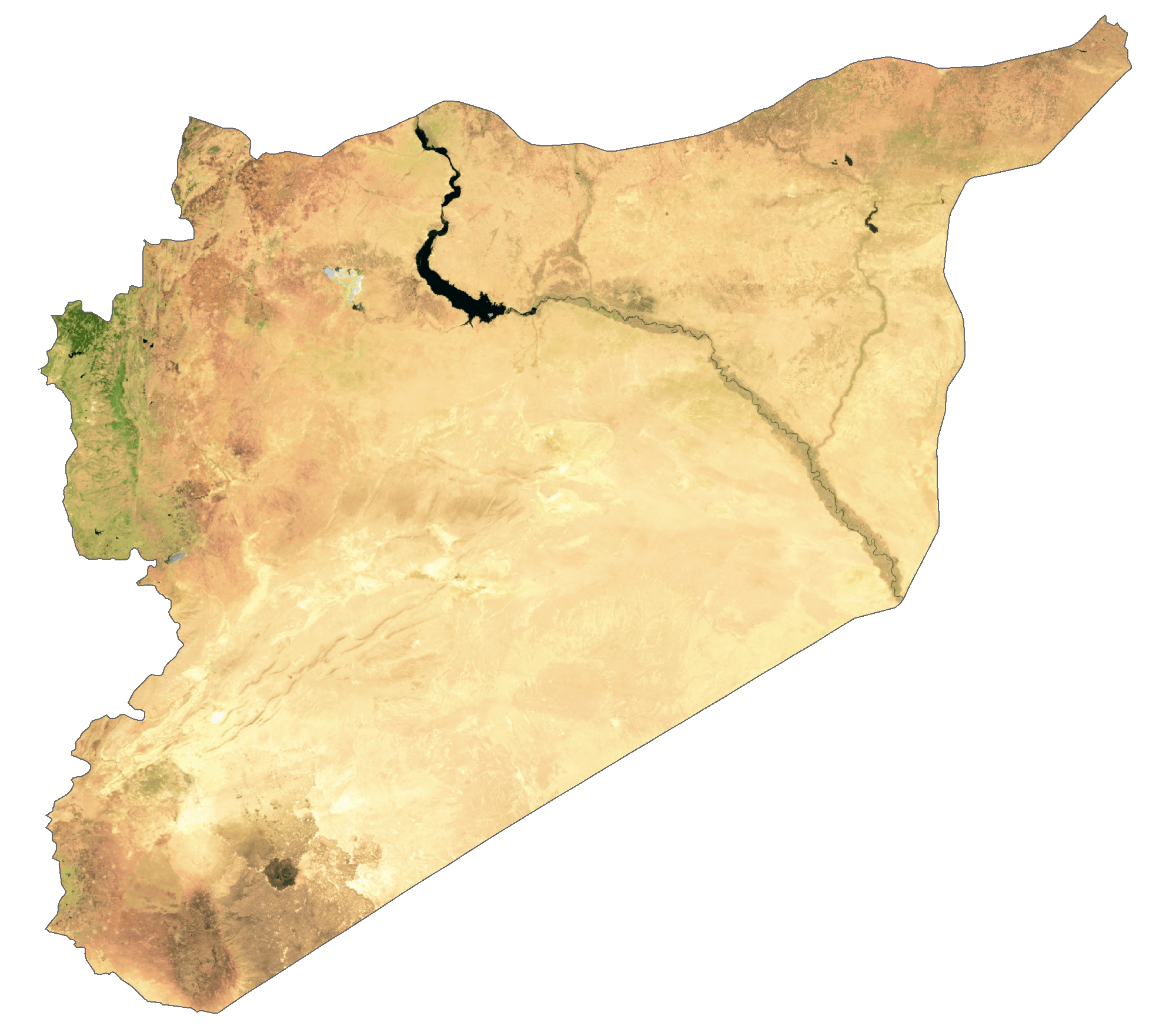
As observed on the map above, the landscape of the west-central and northern regions of Syria are dominated by the Anti-Lebanon and Bishri mountains. The former marks the country’s boundary with Lebanon. The highest point, Mt Hermon, stands in the far southwest at 2,814 m. It has been marked with a yellow upright triangle. Several smaller mountains are scattered about Syria.
The rest of the country is covered by the undulating plains of the Syrian Desert where the elevation varies from 300 to 500m.
Significant bodies of water include Lake al-Assad (a man-made reservoir,) created by a dam on the Euphrates River.The Euphrates and its longest tributary, the Khabur, (both rising in the mountains of Turkey) are the major rivers. Dozens of much smaller rivers flow down into the central valleys.
| Flag: |  |
|---|---|
| Legal Name: | Syrian Arab Republic |
| Capital Value: | Damascus |
| Official languages: | Arabic |
| Demonym(s): | Syrian |
| Government: | Unitary semi-presidential republic under a totalitarian hereditary dictatorship |
| Legislature: | People’s Assembly |
| Total Area: | 187,437 km² |
| Land Area: | 185,887 km² |
| Water Area: | 1,550 km² |
| Population: | 17,070,135 |
| Density: | 118.3/km (306.4/sq mi) (70th) |
| Currency Value: | Syrian pounds (SYP) |
| Driving side: | right |
| Calling code: | +963 |
| Internet TLD: | .sy سوريا. |
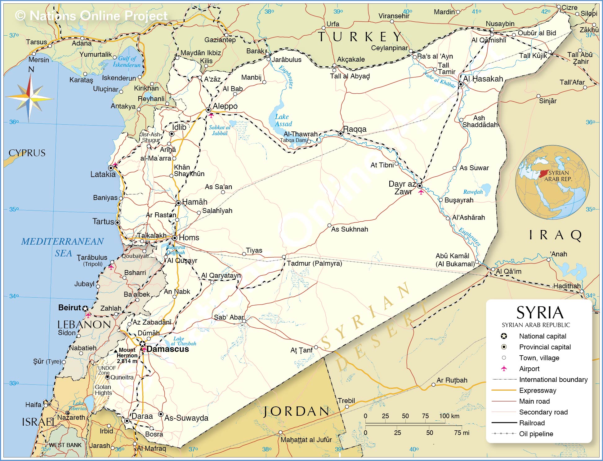
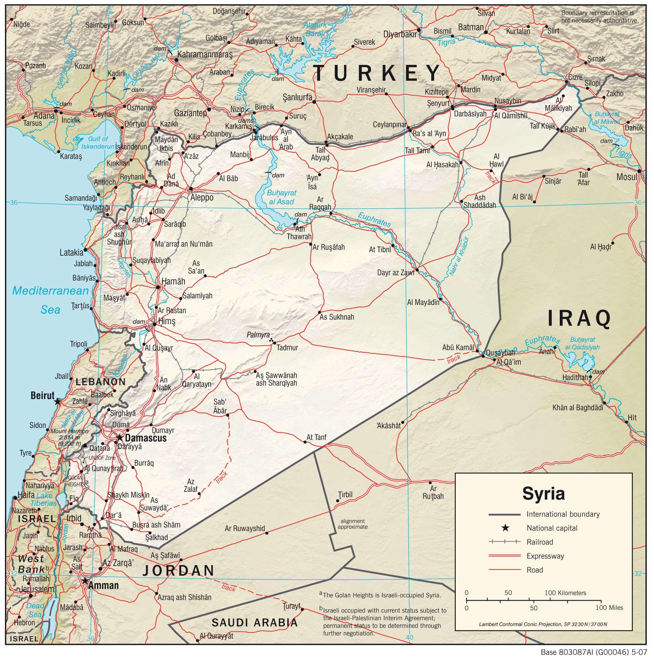
From the Syrian Desert in the south to the Euphrates River in the north, this map of Syria reveals the major cities, towns, rivers, lakes, and roads of the region. Satellite imagery and a terrain map provide an overview of the area, allowing you to explore the country from a different perspective.
Online Interactive Political Map
Click on ![]() to view map in "full screen" mode.
to view map in "full screen" mode.
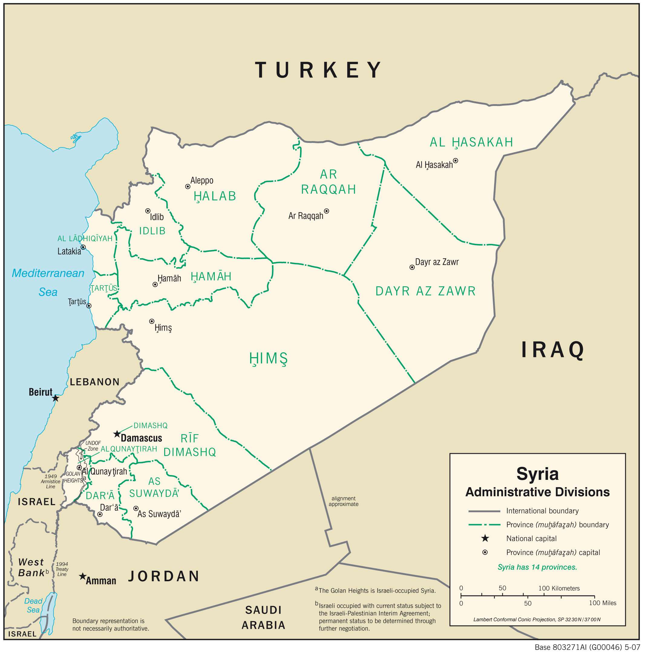
Syria (officially, Syrian Arab Republic) is a unitary republic divided into 14 governorates (sing. muhafazah). In alphabetical order these governorates are: Aleppo, Al-Hasakah, Al-Suwayda, Daraa, Damascus, Deirez-zor, Hama, Homs, Idlib, Latakia, Quneitra, Raqqa, Rifdimashq and Tartus. These governorates are subdivided into 61 districts (sing. mintaqah) which in turn have a number of sub-districts.
With an area of 42,223 sq.km, the Homs Governorate is the largest in the country while Aleppo is the most populous one.
Damascus, one of the world’s oldest continuously inhabited cities, is the capital and the largest city of Syria. It is located in South-western Syria at the foothills of the Anti-Lebanon mountain range.
Location Maps
Where is Syria?
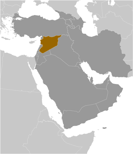
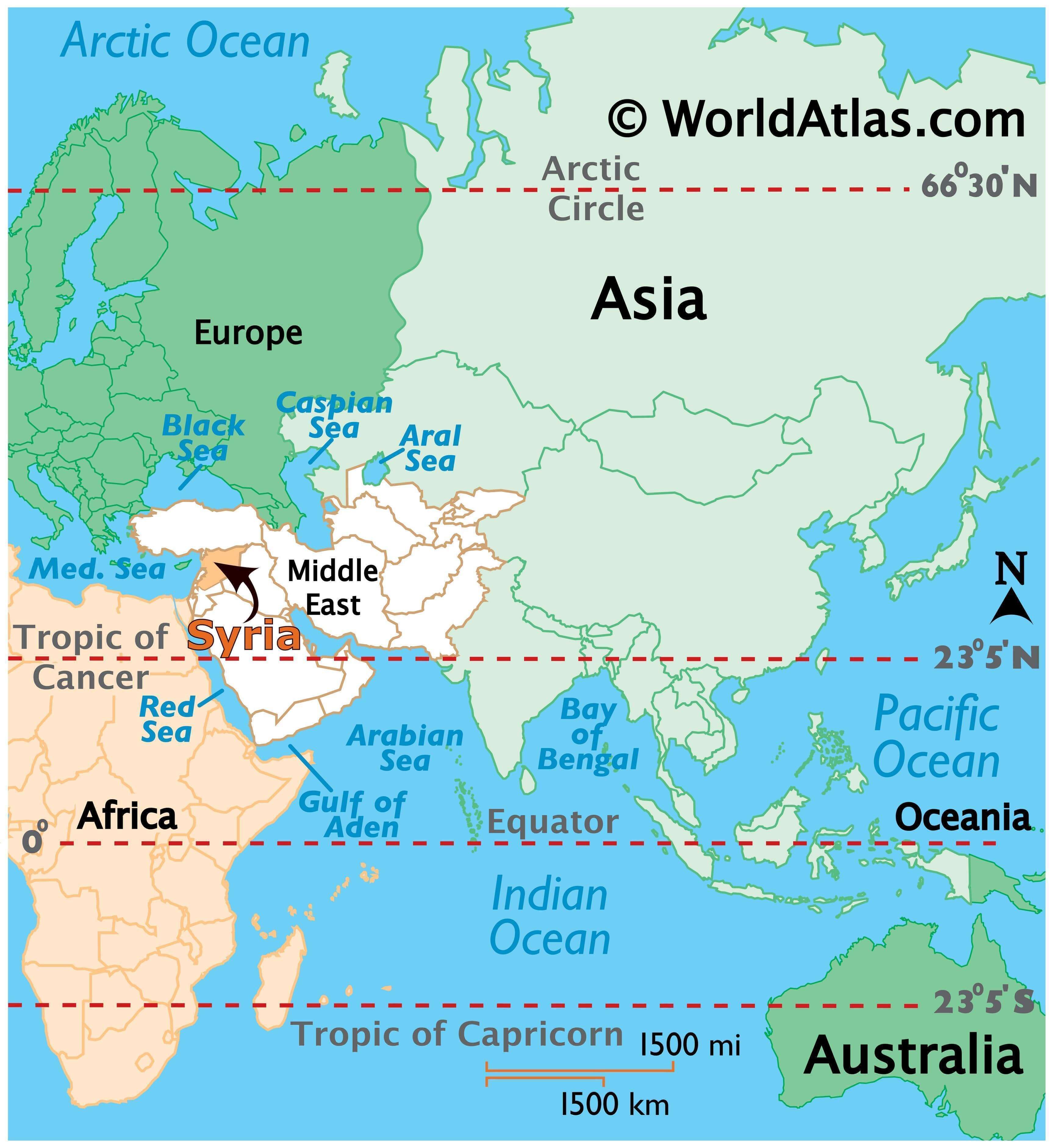
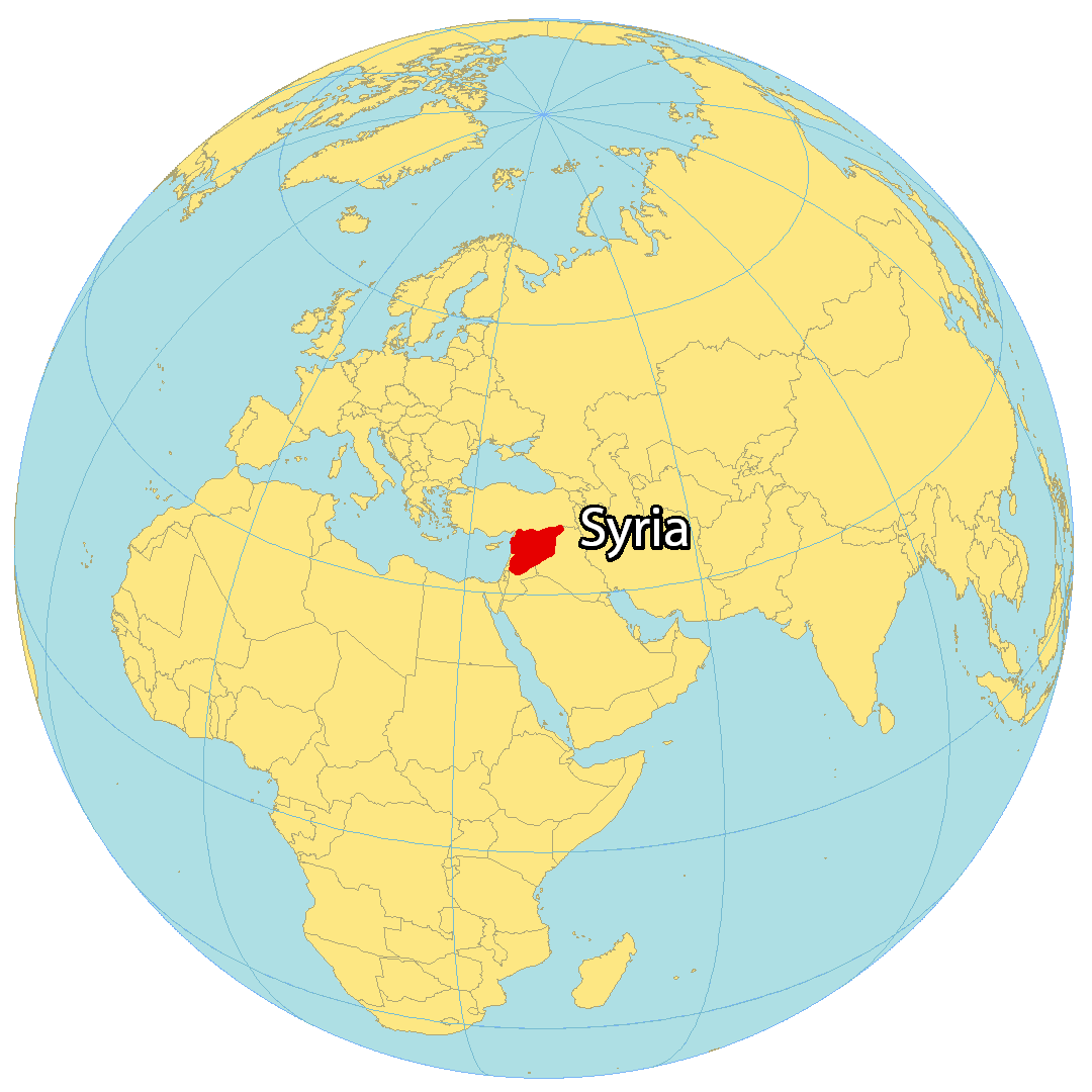
Syria is situated in the Middle East, near the Mediterranean Sea. It is bordered by five countries: Turkey to the north, Iraq to the east, Jordan to the south, Lebanon to the west, and Israel to the southwest. Syria is renowned for its cultural heritage, conflicts, and civil war, and is one of the oldest civilizations. Damascus is the capital of Syria, while Aleppo is the most populated city. Other major cities include Homs, Hama, and Latakia. Syria has an area of 185,180 square kilometers (71,500 sq mi). It is smaller than Kyrgyzstan, but larger than Tunisia.
High Definition Political Map of Syria
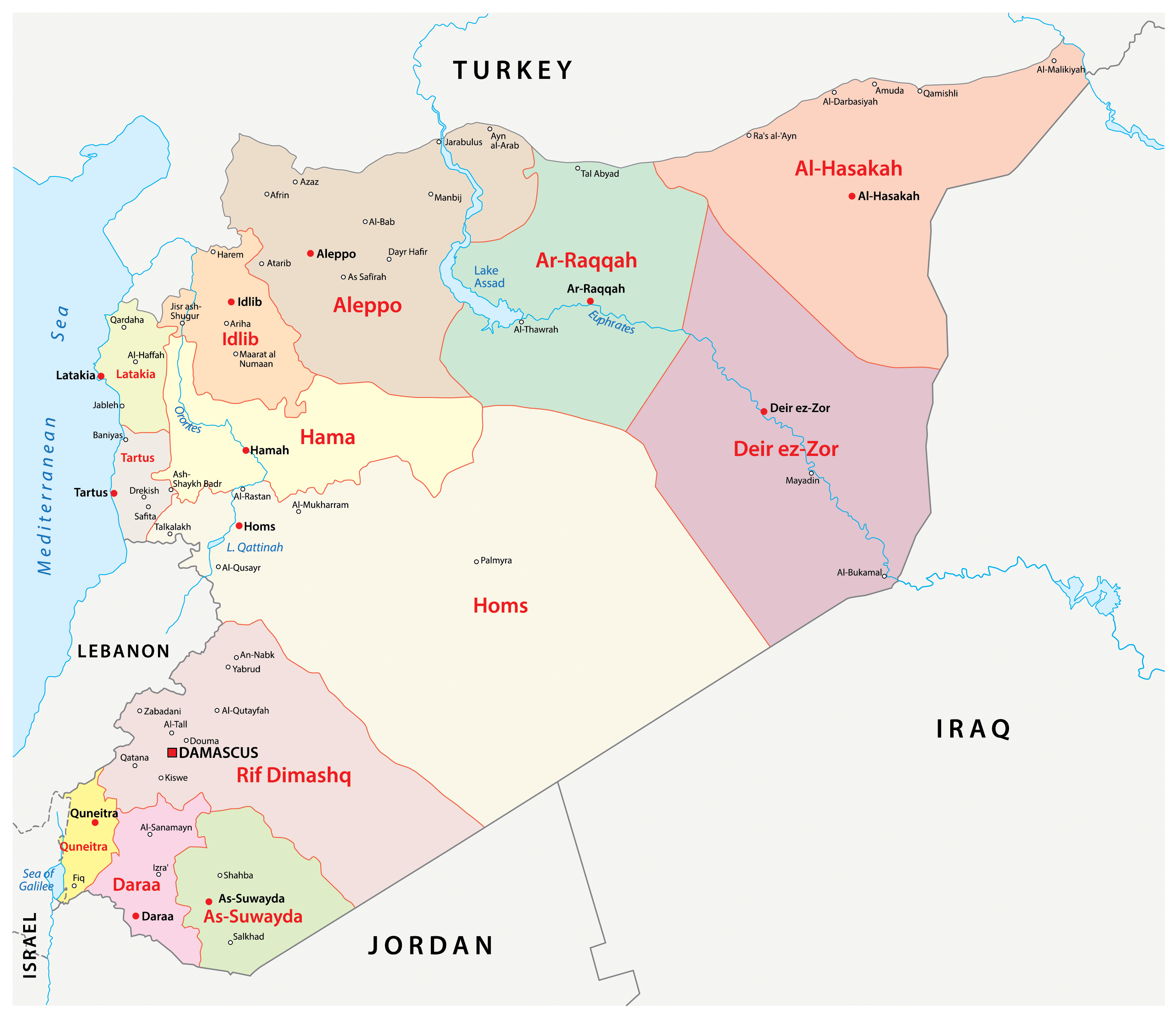

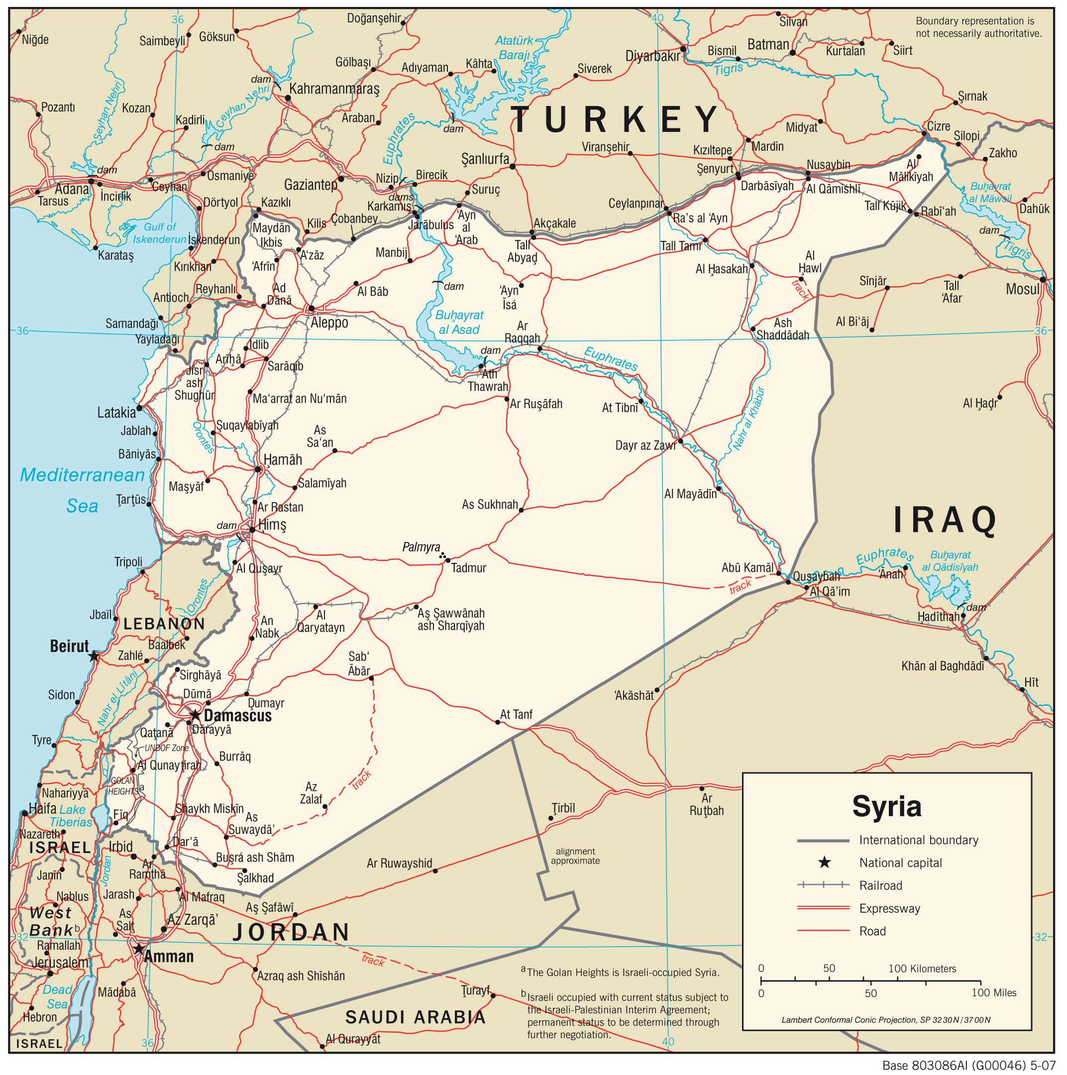
Syria Administrative Map
Physical Map of Syria

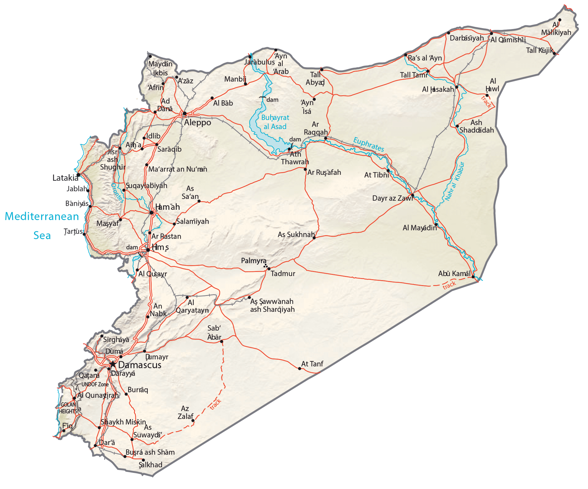
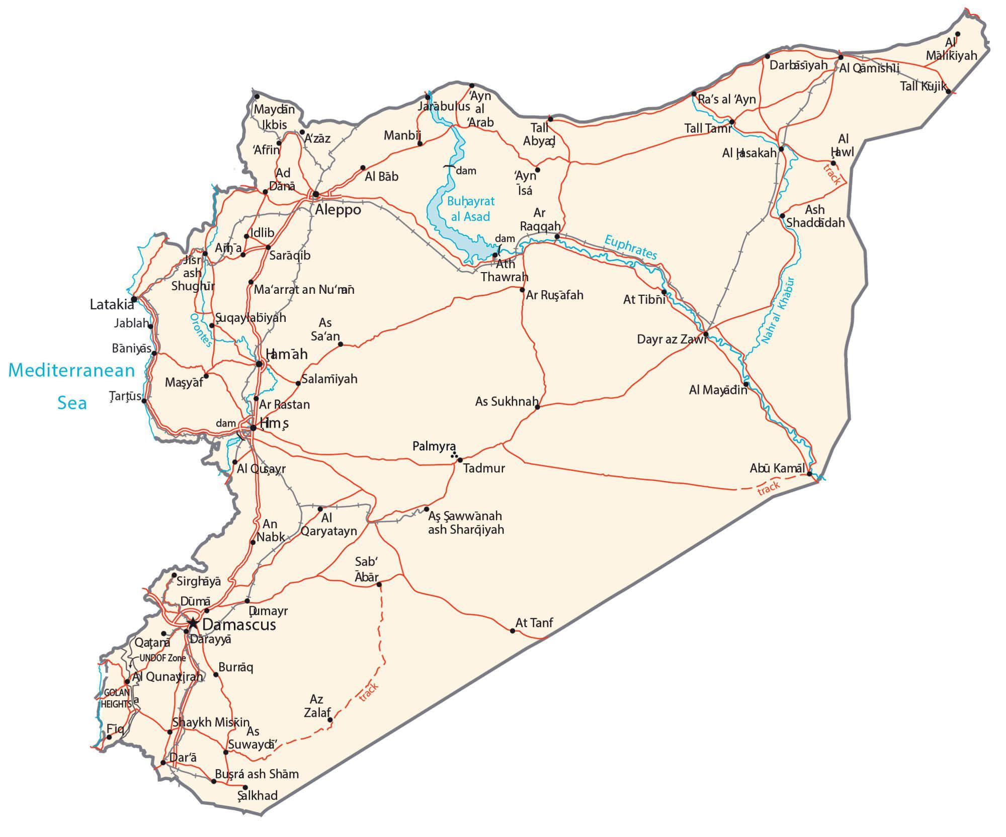
Transportation Map of Syria
Syria Satellite Map
Other Maps