Sherwood is a city in Renville County, North Dakota, United States. The population was 194 as of the 2020 census. It is part of the Minot Micropolitan Statistical Area. It was founded in 1904 and named after Sherwood H. Sleeper, a Mohall banker who had owned land in the area.
Sherwood’s weather station has one of the lowest (if not the lowest) yearly precipitation levels in North Dakota, with an annual normal of 13.13 inches (1971–2000).
Sherwood is designated by the U.S. Customs and Border Protection agency as a port of entry between the United States and Canada.
| Name: | Sherwood city |
|---|---|
| LSAD Code: | 25 |
| LSAD Description: | city (suffix) |
| State: | North Dakota |
| County: | Renville County |
| Founded: | 1904 |
| Incorporated: | 1916 |
| Elevation: | 1,644 ft (501 m) |
| Total Area: | 0.32 sq mi (0.82 km²) |
| Land Area: | 0.32 sq mi (0.82 km²) |
| Water Area: | 0.00 sq mi (0.00 km²) |
| Total Population: | 194 |
| Population Density: | 613.92/sq mi (237.19/km²) |
| ZIP code: | 58782 |
| Area code: | 701 |
| FIPS code: | 3872540 |
| GNISfeature ID: | 1032053 |
| Website: | sherwoodnd.com/main.htm |
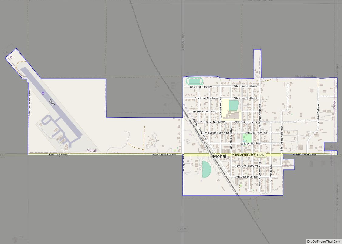
Online Interactive Map
Click on ![]() to view map in "full screen" mode.
to view map in "full screen" mode.
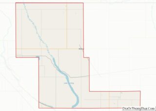
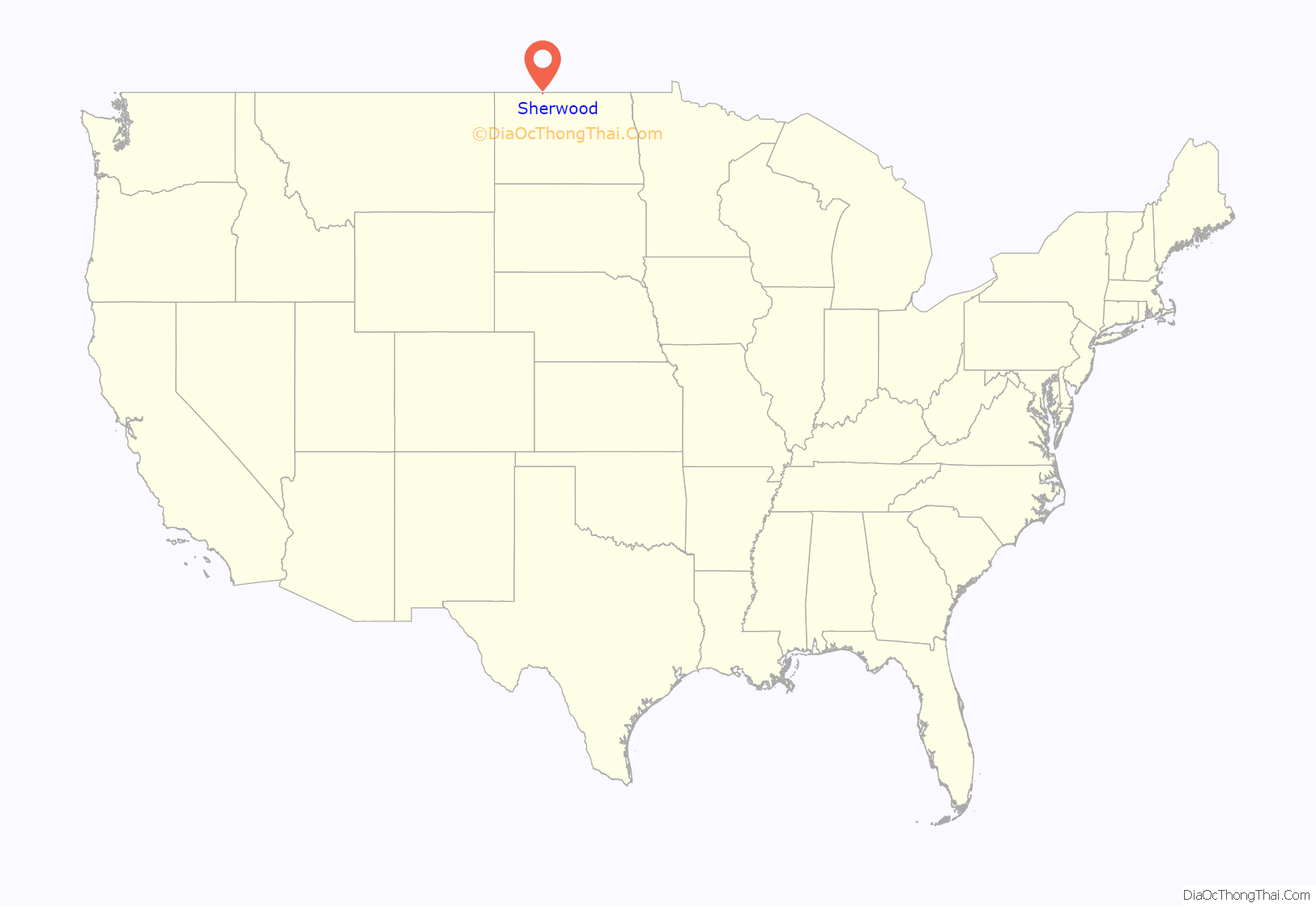
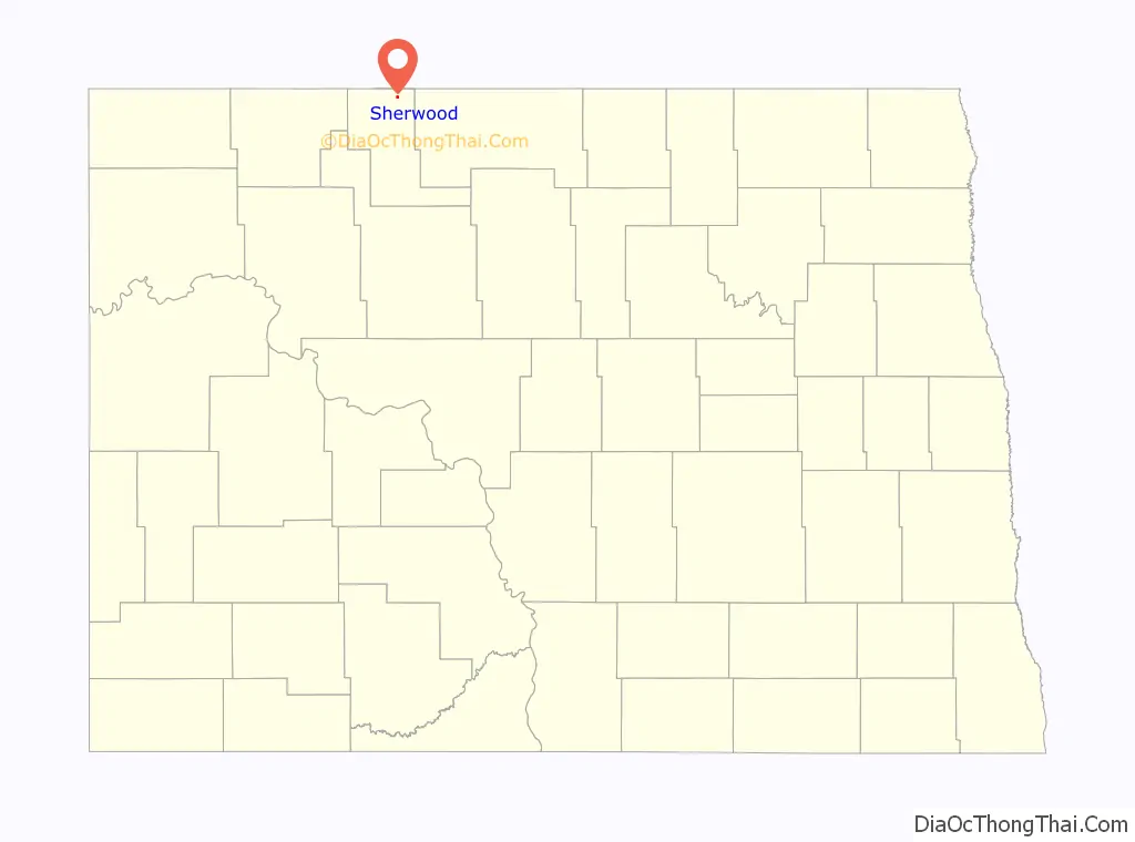
Sherwood location map. Where is Sherwood city?
History
The town site of Sherwood was homesteaded by Bert C. Loomis. Loomis deeded to the land to Sherwood H. Sleeper, who subsequently deeded the land to the Northern Town and Land Company or Corporation, who surveyed it into lots.
A site for a town was purchased by Sherwood H. Sleeper in the summer of 1904 on the NE quarter of Section 12, Range 85, Township 163. On August 4, 1904, the surveying and platting was begun and the town site plat was filed in Imperial Ward County on September 6, 1904. The town was named Sherwood.
The earliest post office of Colquhoun was located on the west side of the township, five miles from the present site of Sherwood, on what was the Maurice Walsh farm. This was known as the “Nina” Post Office. The late C. A. Verry of Minot was instrumental in getting the “Nina” Post Office located in Calquhoun. The postmaster at the Nina Post Office was O. H. Moon. There was also a post office in Eden Valley township called the “Bolacker” Post Office. Mrs. Alexander was the postmistress there. Later, both the Nina and Bolacker Post Offices were moved to the present site of Sherwood with Mrs. Alexander as postmistress.
Rural free delivery was established in the fall of 1904 with Fred Cool, Charlie King and Henry Hurdelbrink as mail carriers.
Sherwood was organized as a village in April 1905. The first village officers were: C.H. Ennis, Chairman; F.L. Denneson, Trustee; K.T. Roble, Trustee; W.H. Walker, Trustee; H.W. Conway, Marshal; E.O. Keene, Justice; J.G. Connole, Treasurer; and R.L. Young, Clerk.
Education history
Brother Charles Gauber started a small school called the Simon Olson Shack before the town was incorporated. The town grade school opened under Miss Lelah Conkey and Lily Traux. Members of the board were: N. Nelson, President; P.A. Conkey; Simon Olson; and T.R. McFarlane, Clerk. In 1908 a high school was added and in 1912, five teachers were employed.
In 1916, a separate high school building east of the grade school was built. The first graduation class from the high school were: Esther Stenzel, Cora Knutson, Paul Goheen, and Glenn Sansburn. The Beckedahl School was moved in and used as a classroom in 1922. Children were brought in by buses. All recreation, even basketball, was outdoors.
Modern history
On September 15, 1991, an oil fire broke out west of town. Eight firefighters responded to the scene. While they were trying to put out the fire, the wind changed direction and the men received severe injuries. Six of the men survived, but two others, Craig Keith and Kevin Johnson, would later die of their injuries. Today, a monument stands in front of the Sherwood Fire Department in memory of these two men.
In 2015, after failing to turn Leith into an all white community, Craig Cobb moved to Sherwood. Craig has expressed a desire to turn the town into a white nationalist community.
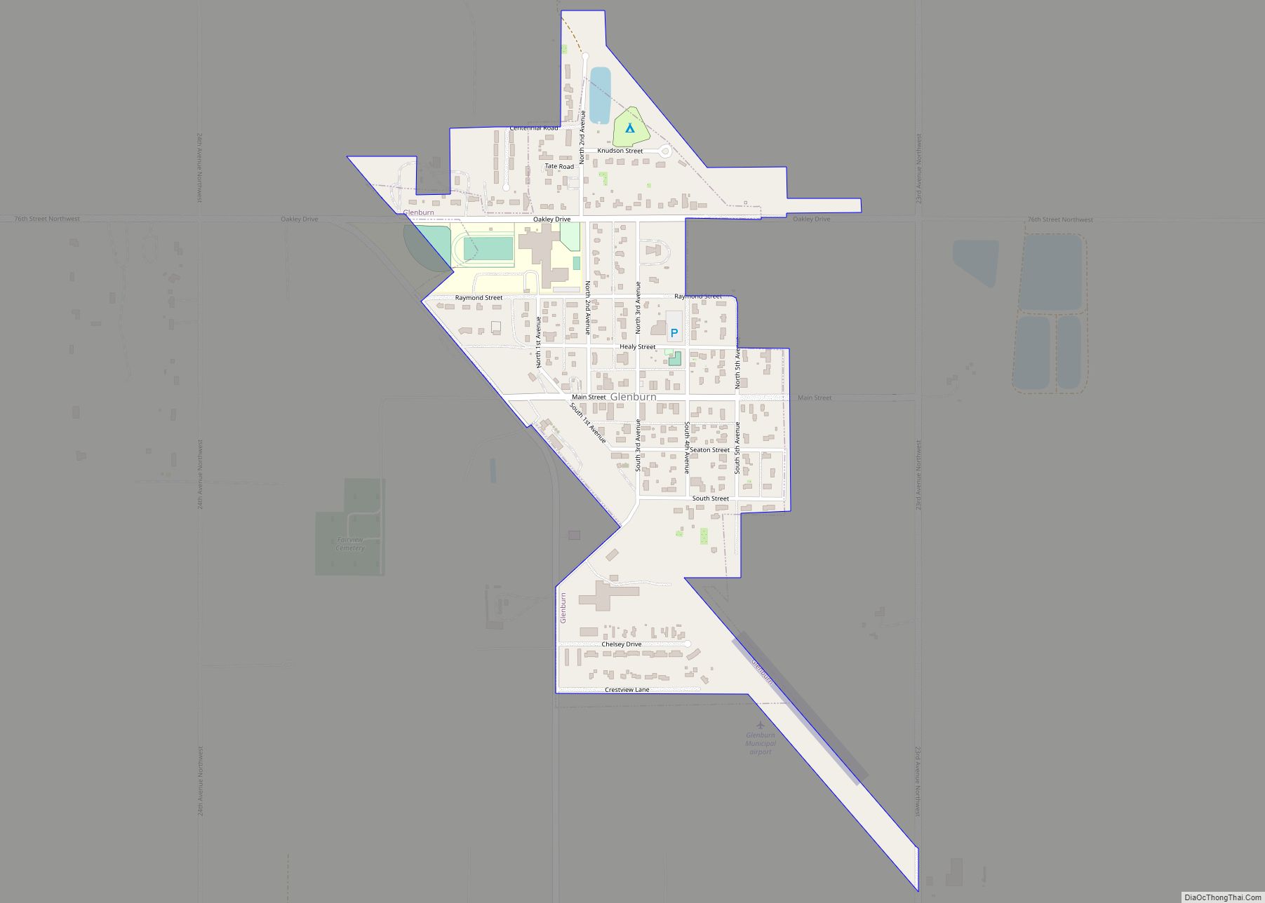
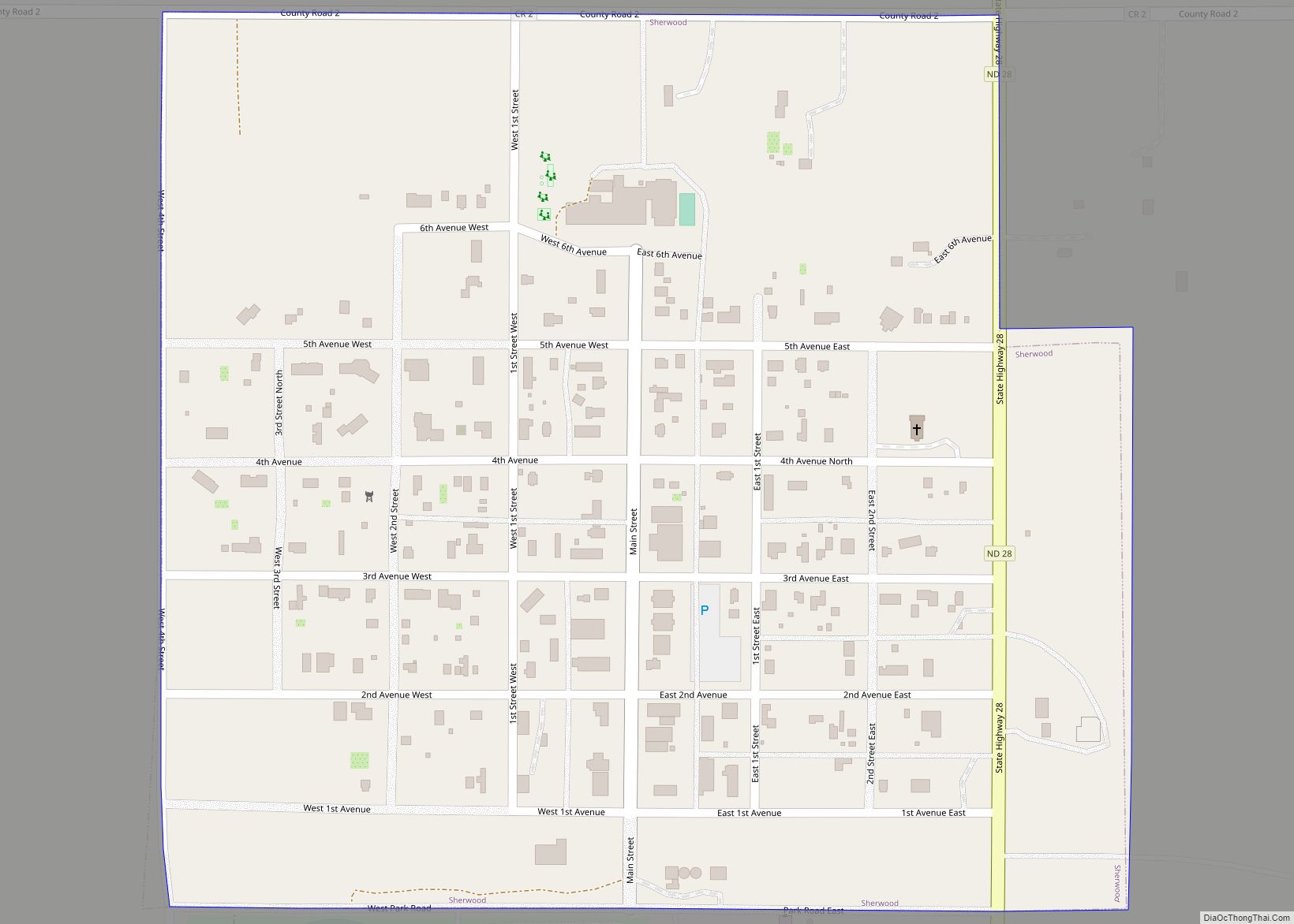
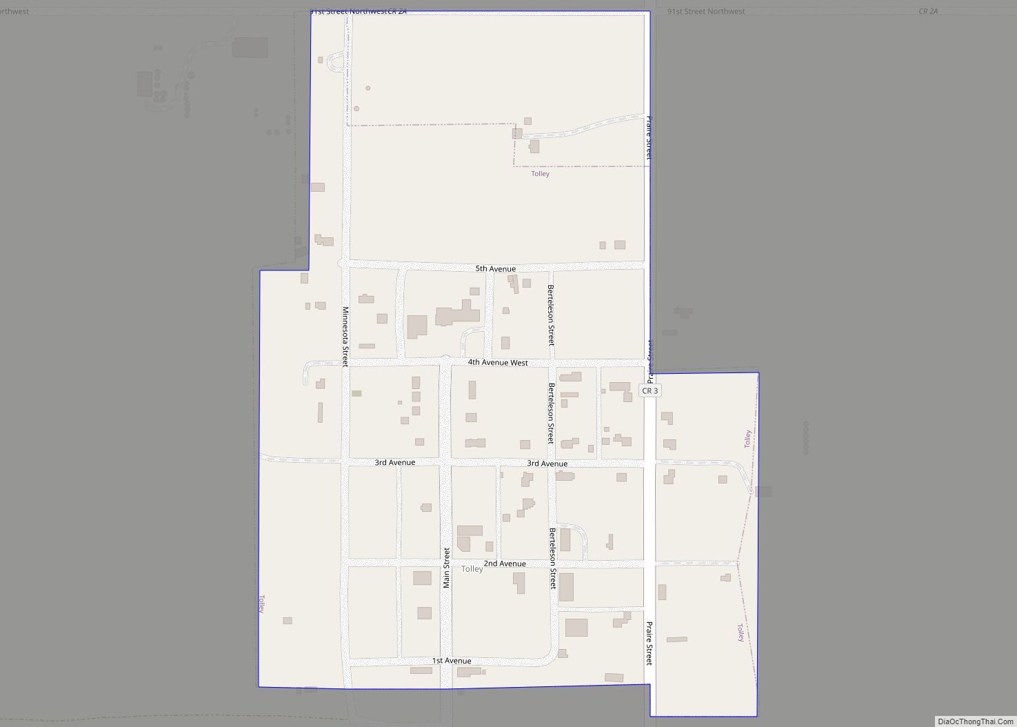
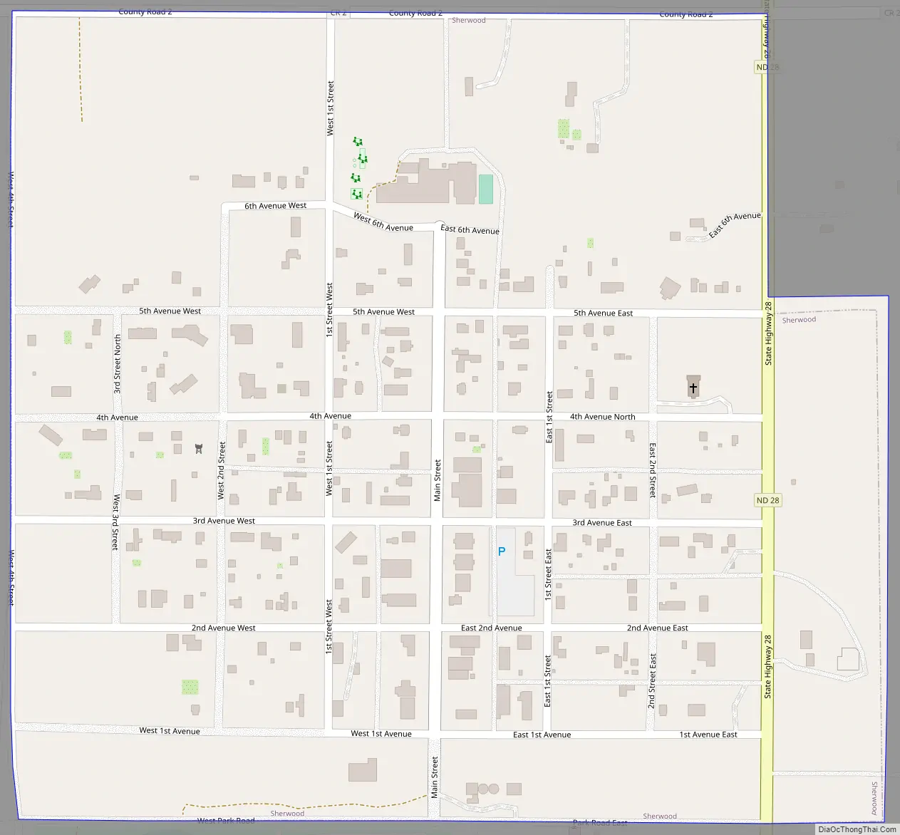
Sherwood Road Map
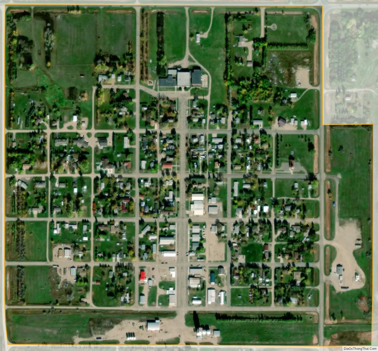
Sherwood city Satellite Map
Geography
Sherwood is located at 48°57′41″N 101°37′55″W / 48.96139°N 101.63194°W / 48.96139; -101.63194 (48.961469, -101.631889).
According to the United States Census Bureau, the city has a total area of 0.31 square miles (0.80 km), all land.
See also
Map of North Dakota State and its subdivision:- Adams
- Barnes
- Benson
- Billings
- Bottineau
- Bowman
- Burke
- Burleigh
- Cass
- Cavalier
- Dickey
- Divide
- Dunn
- Eddy
- Emmons
- Foster
- Golden Valley
- Grand Forks
- Grant
- Griggs
- Hettinger
- Kidder
- Lamoure
- Logan
- McHenry
- McIntosh
- McKenzie
- McLean
- Mercer
- Morton
- Mountrail
- Nelson
- Oliver
- Pembina
- Pierce
- Ramsey
- Ransom
- Renville
- Richland
- Rolette
- Sargent
- Sheridan
- Sioux
- Slope
- Stark
- Steele
- Stutsman
- Towner
- Traill
- Walsh
- Ward
- Wells
- Williams
- Alabama
- Alaska
- Arizona
- Arkansas
- California
- Colorado
- Connecticut
- Delaware
- District of Columbia
- Florida
- Georgia
- Hawaii
- Idaho
- Illinois
- Indiana
- Iowa
- Kansas
- Kentucky
- Louisiana
- Maine
- Maryland
- Massachusetts
- Michigan
- Minnesota
- Mississippi
- Missouri
- Montana
- Nebraska
- Nevada
- New Hampshire
- New Jersey
- New Mexico
- New York
- North Carolina
- North Dakota
- Ohio
- Oklahoma
- Oregon
- Pennsylvania
- Rhode Island
- South Carolina
- South Dakota
- Tennessee
- Texas
- Utah
- Vermont
- Virginia
- Washington
- West Virginia
- Wisconsin
- Wyoming