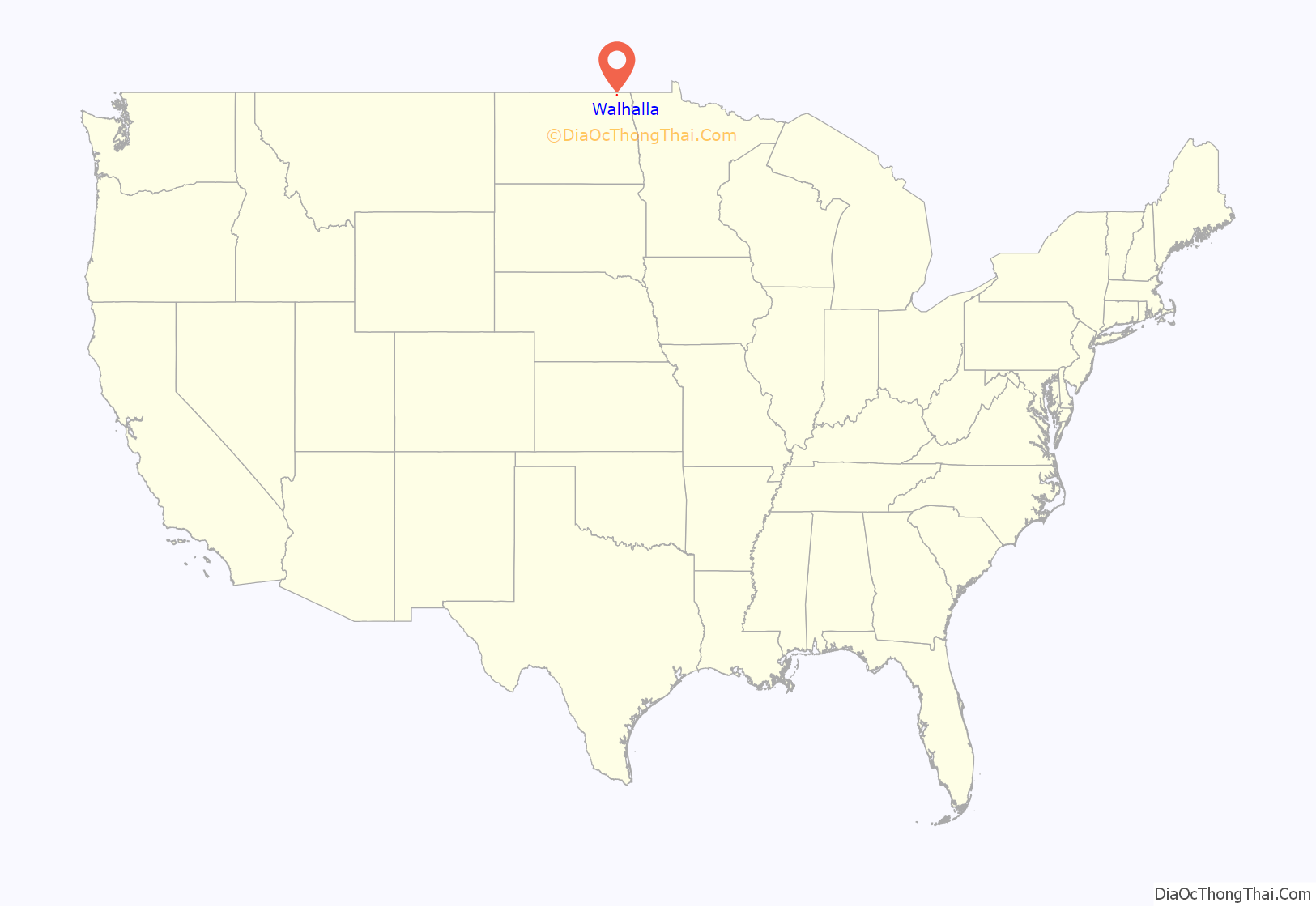
Walhalla is a city in Pembina County, North Dakota, United States. It sits on the banks of the Pembina River, five miles (8 km) from the border with Manitoba (Canada) and approximately 45 mi (72 km) from the border with Minnesota. The population was 893 at the 2020 census.
| Name: | Walhalla city |
|---|---|
| LSAD Code: | 25 |
| LSAD Description: | city (suffix) |
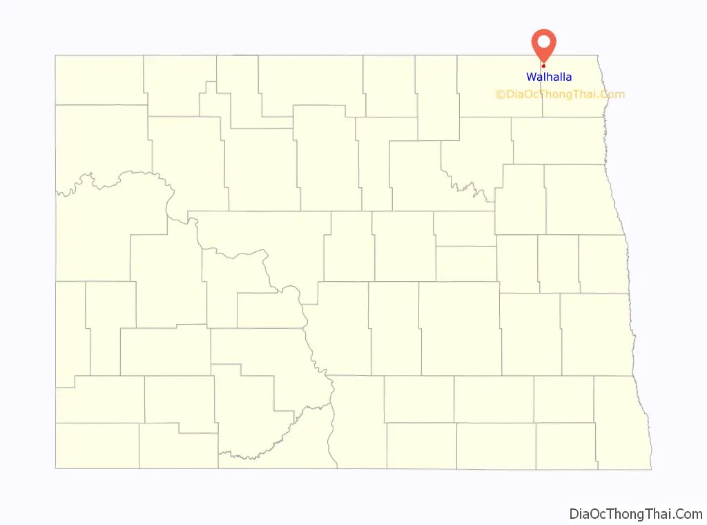
| State: | North Dakota |
| County: | Pembina County |
| Elevation: | 988 ft (301 m) |
| Total Area: | 1.05 sq mi (2.72 km²) |
| Land Area: | 1.03 sq mi (2.68 km²) |
| Water Area: | 0.02 sq mi (0.04 km²) |
| Total Population: | 893 |
| Population Density: | 862.80/sq mi (332.99/km²) |
| ZIP code: | 58282 |
| Area code: | 701 |
| FIPS code: | 3882980 |
| GNISfeature ID: | 1032666 |
| Website: | walhalland.org |
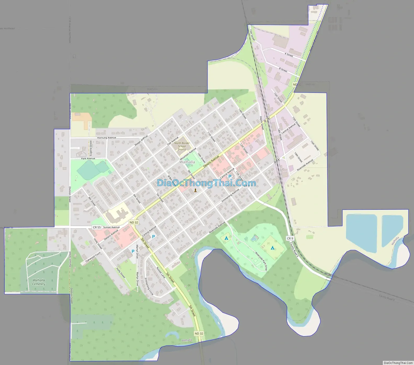
Online Interactive Map
Click on ![]() to view map in "full screen" mode.
to view map in "full screen" mode.
Walhalla location map. Where is Walhalla city?
History
Walhalla was established in 1845. Walhalla is the second oldest town in North Dakota, its history bound up in the fur trade of the Red River Valley. One mile northeast of town was the North West Company fur trading post, established in 1797 by British-Canadian surveyor and cartographer David Thompson (1770–1857), and in 1801 moved to a site one mile east of Walhalla, where a reconstructed building is now located.
Also about one mile northeast of Walhalla is the Gingras Trading Post, established in the 1840s by the Métis legislator and businessman Antoine Blanc Gingras (1821-1877).
In town is the Kittson Trading Post, established in 1843 by Norman Kittson (1814–1888), an American Fur Company agent. This is the oldest building in North Dakota. It is located in the Walhalla State Historical Park and is preserved by the State Historical Society.
The Great Northern Railway arrived in Walhalla in 1898.
The town was the site of a protest against TransCanada’s Keystone Pipeline in October 2016, when documentarian Deia Schlosberg was arrested.
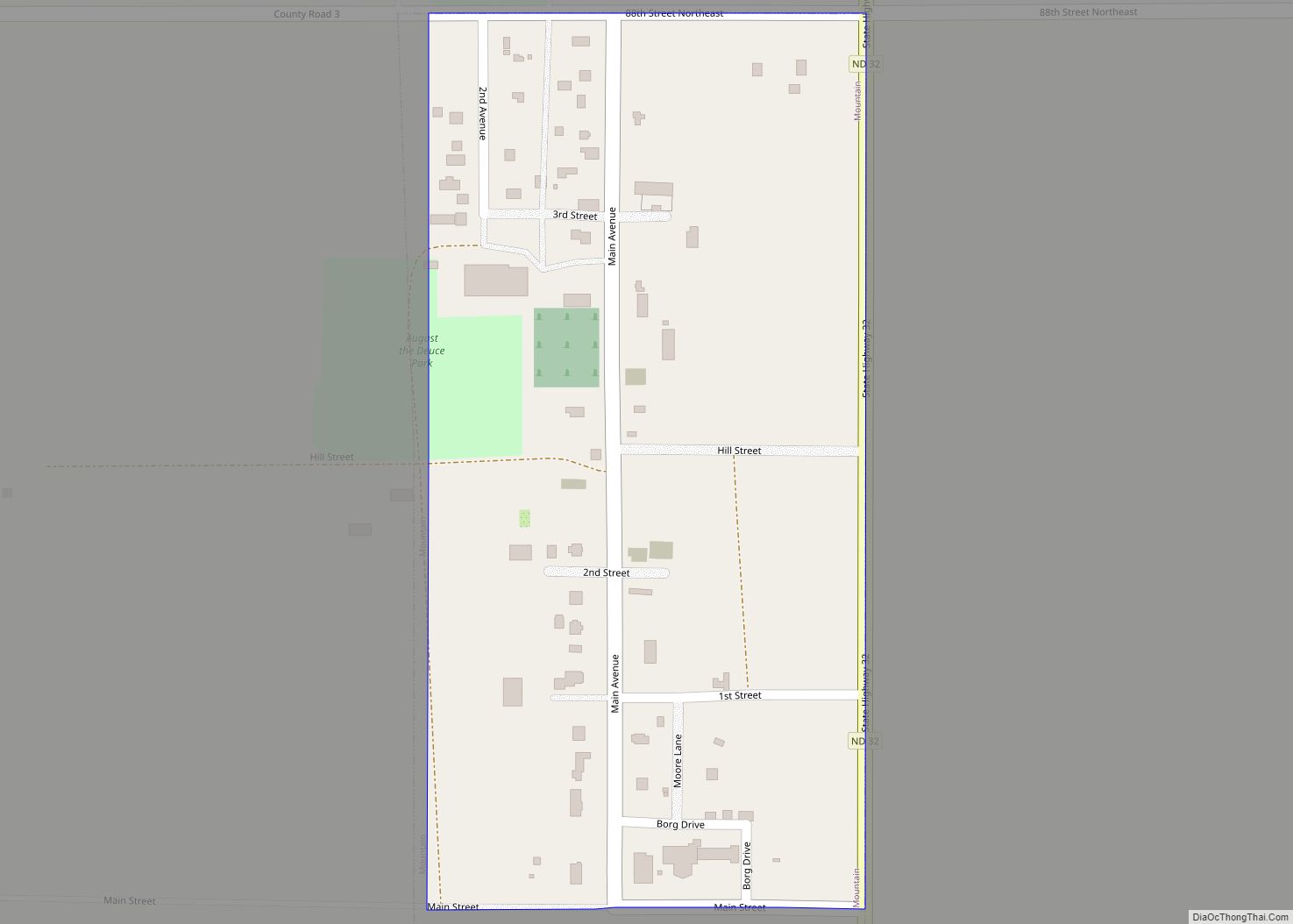
Walhalla Road Map
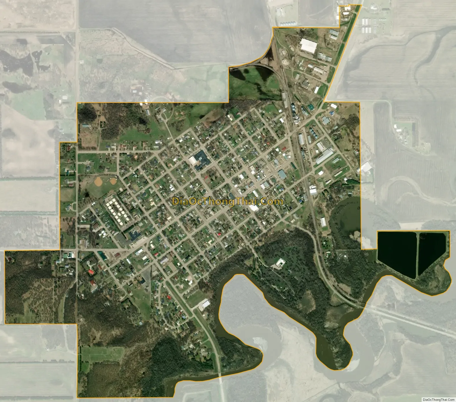
Walhalla city Satellite Map
Geography
Walhalla is located at 48°55′19″N 97°55′5″W / 48.92194°N 97.91806°W / 48.92194; -97.91806 (48.921996, −97.918014).
According to the United States Census Bureau, the city has a total area of 1.07 square miles (2.77 km), of which 1.05 square miles (2.72 km) is land and 0.02 square miles (0.05 km) is water.
See also
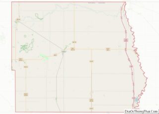
Map of North Dakota State and its subdivision:- Adams
- Barnes
- Benson
- Billings
- Bottineau
- Bowman
- Burke
- Burleigh
- Cass
- Cavalier
- Dickey
- Divide
- Dunn
- Eddy
- Emmons
- Foster
- Golden Valley
- Grand Forks
- Grant
- Griggs
- Hettinger
- Kidder
- Lamoure
- Logan
- McHenry
- McIntosh
- McKenzie
- McLean
- Mercer
- Morton
- Mountrail
- Nelson
- Oliver
- Pembina
- Pierce
- Ramsey
- Ransom
- Renville
- Richland
- Rolette
- Sargent
- Sheridan
- Sioux
- Slope
- Stark
- Steele
- Stutsman
- Towner
- Traill
- Walsh
- Ward
- Wells
- Williams
- Alabama
- Alaska
- Arizona
- Arkansas
- California
- Colorado
- Connecticut
- Delaware
- District of Columbia
- Florida
- Georgia
- Hawaii
- Idaho
- Illinois
- Indiana
- Iowa
- Kansas
- Kentucky
- Louisiana
- Maine
- Maryland
- Massachusetts
- Michigan
- Minnesota
- Mississippi
- Missouri
- Montana
- Nebraska
- Nevada
- New Hampshire
- New Jersey
- New Mexico
- New York
- North Carolina
- North Dakota
- Ohio
- Oklahoma
- Oregon
- Pennsylvania
- Rhode Island
- South Carolina
- South Dakota
- Tennessee
- Texas
- Utah
- Vermont
- Virginia
- Washington
- West Virginia
- Wisconsin
- Wyoming