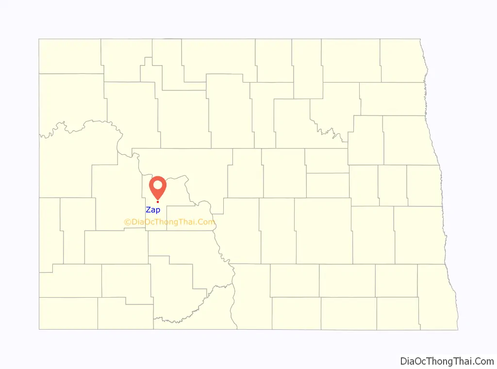
Zap is a city in Mercer County, North Dakota, United States. The population was 221 at the 2020 census.
Zap was founded in 1913 along a branch line of the Northern Pacific Railway that began in Mandan. The exact origin of the name is uncertain, though there are numerous unconfirmed theories; some say the town was named after Zapp, which was either a prominent Minnesota banking family or a coal-mining town in Scotland. Zap has been noted for its unusual place name.
| Name: | Zap city |
|---|---|
| LSAD Code: | 25 |
| LSAD Description: | city (suffix) |
| State: | North Dakota |
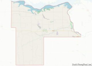
| County: | Mercer County |
| Founded: | 1913 |
| Elevation: | 1,847 ft (563 m) |
| Total Area: | 1.02 sq mi (2.64 km²) |
| Land Area: | 1.02 sq mi (2.64 km²) |
| Water Area: | 0.00 sq mi (0.01 km²) |
| Total Population: | 221 |
| Population Density: | 217.09/sq mi (83.78/km²) |
| ZIP code: | 58580 |
| Area code: | 701 |
| FIPS code: | 3888140 |
| GNISfeature ID: | 1032903 |
| Website: | wrtc.com/zapnd |
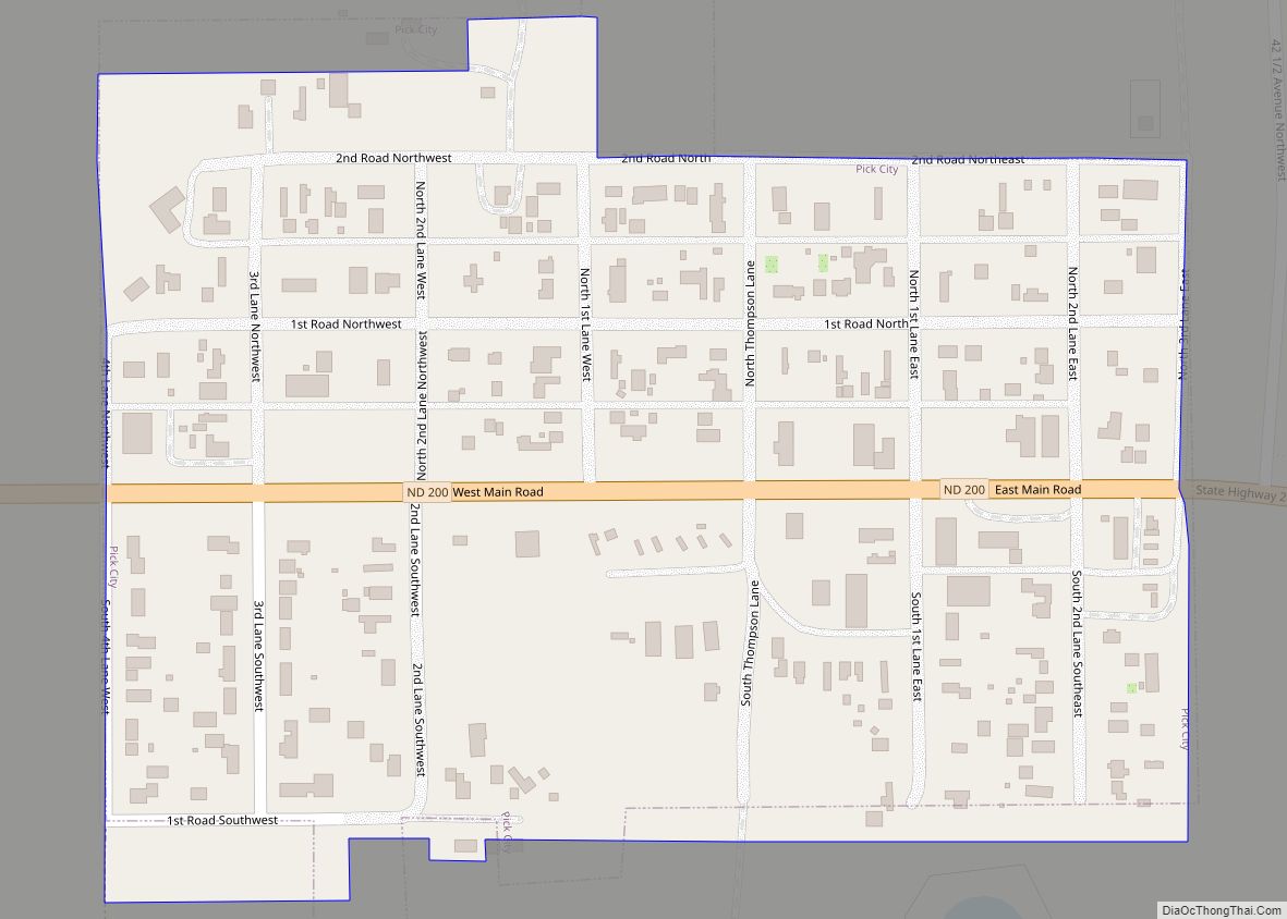
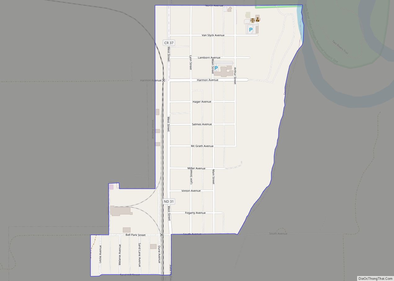
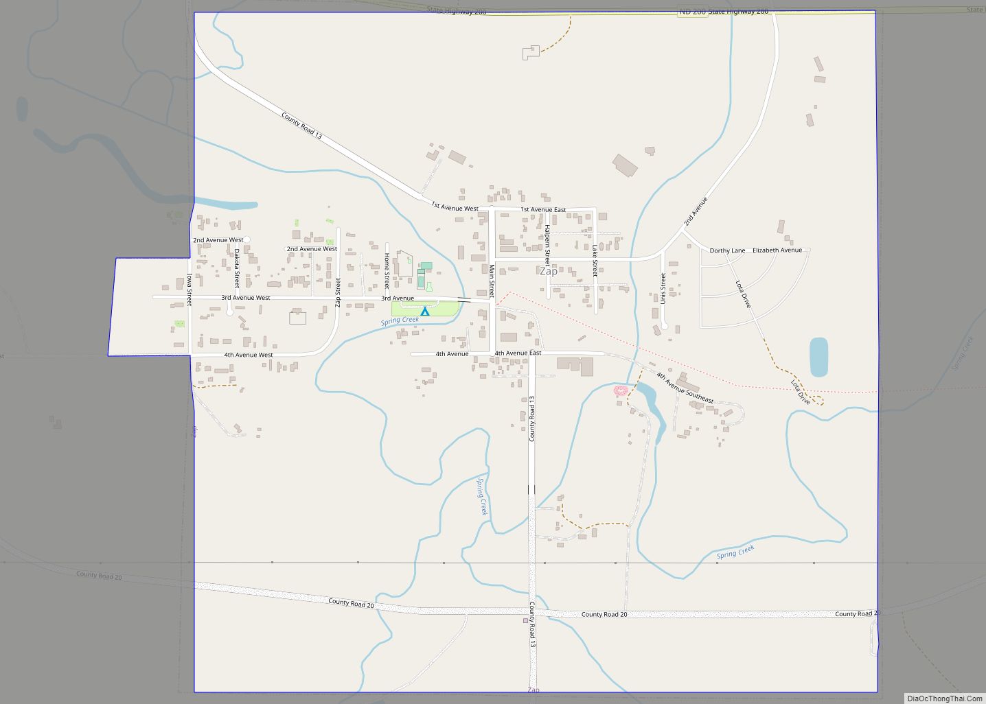
Online Interactive Map
Click on ![]() to view map in "full screen" mode.
to view map in "full screen" mode.
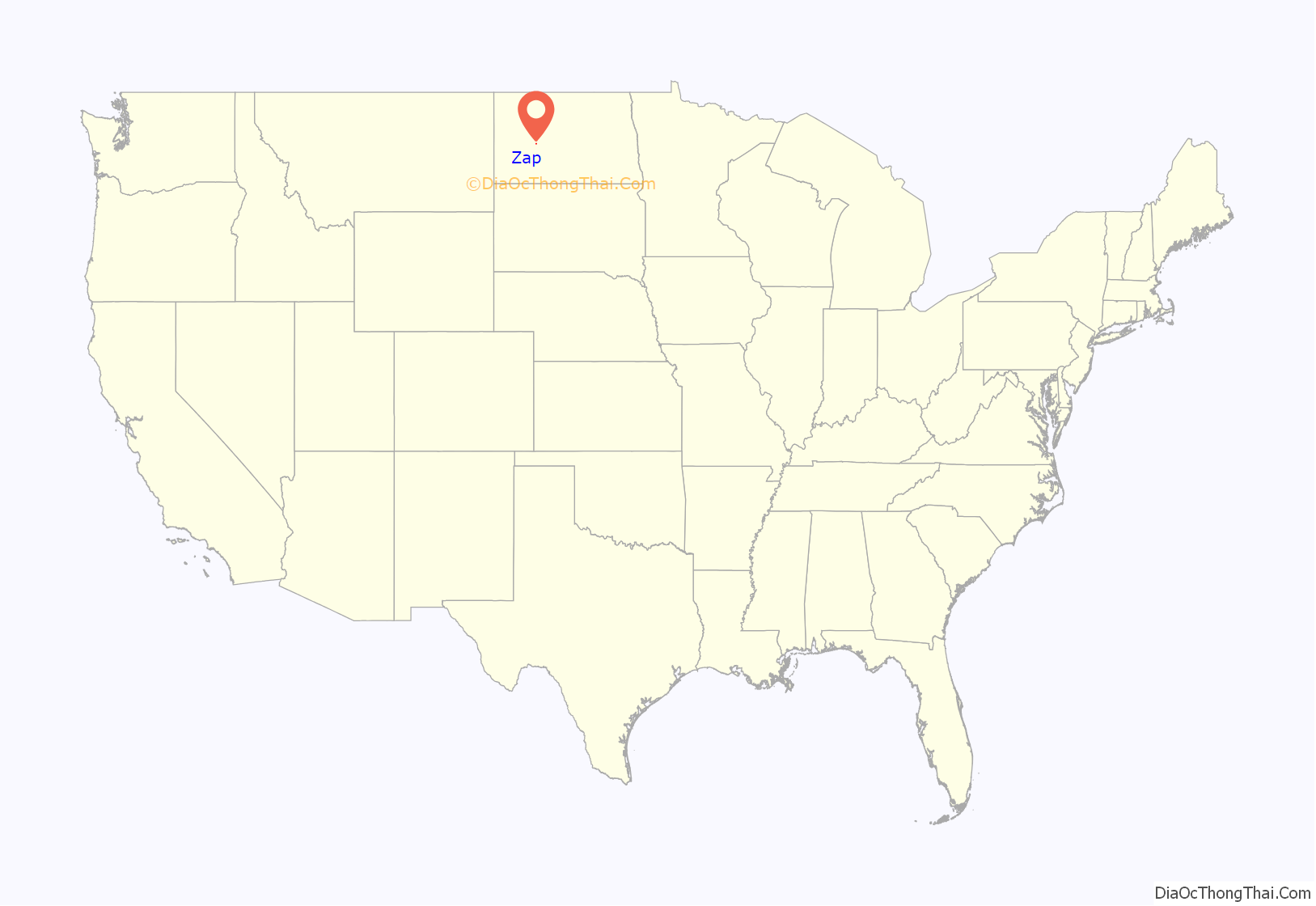
Zap location map. Where is Zap city?
Zap Road Map

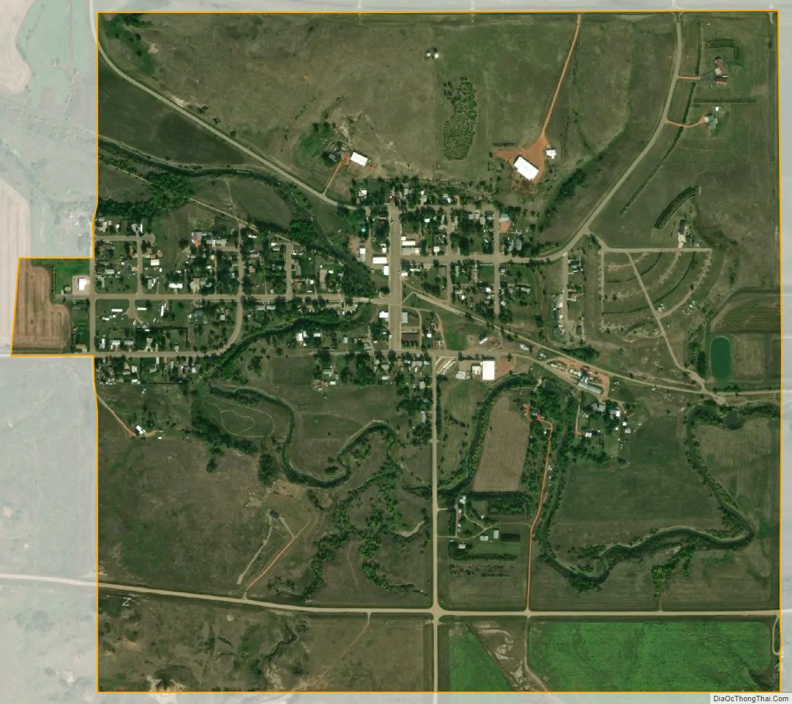
Zap city Satellite Map
Geography
Zap is located at 47°17′11″N 101°55′22″W / 47.28639°N 101.92278°W / 47.28639; -101.92278 (47.286397, -101.922670). It is located in the prairie country along Spring Creek, a tributary of the Knife River.
According to the United States Census Bureau, the city has a total area of 1.05 square miles (2.72 km), all land.
See also
Map of North Dakota State and its subdivision:- Adams
- Barnes
- Benson
- Billings
- Bottineau
- Bowman
- Burke
- Burleigh
- Cass
- Cavalier
- Dickey
- Divide
- Dunn
- Eddy
- Emmons
- Foster
- Golden Valley
- Grand Forks
- Grant
- Griggs
- Hettinger
- Kidder
- Lamoure
- Logan
- McHenry
- McIntosh
- McKenzie
- McLean
- Mercer
- Morton
- Mountrail
- Nelson
- Oliver
- Pembina
- Pierce
- Ramsey
- Ransom
- Renville
- Richland
- Rolette
- Sargent
- Sheridan
- Sioux
- Slope
- Stark
- Steele
- Stutsman
- Towner
- Traill
- Walsh
- Ward
- Wells
- Williams
- Alabama
- Alaska
- Arizona
- Arkansas
- California
- Colorado
- Connecticut
- Delaware
- District of Columbia
- Florida
- Georgia
- Hawaii
- Idaho
- Illinois
- Indiana
- Iowa
- Kansas
- Kentucky
- Louisiana
- Maine
- Maryland
- Massachusetts
- Michigan
- Minnesota
- Mississippi
- Missouri
- Montana
- Nebraska
- Nevada
- New Hampshire
- New Jersey
- New Mexico
- New York
- North Carolina
- North Dakota
- Ohio
- Oklahoma
- Oregon
- Pennsylvania
- Rhode Island
- South Carolina
- South Dakota
- Tennessee
- Texas
- Utah
- Vermont
- Virginia
- Washington
- West Virginia
- Wisconsin
- Wyoming