Adams is a village in the town of Adams in Jefferson County, New York, United States. The population was 1,775 at the 2010 census. The village is named after President John Adams.
| Name: | Adams village |
|---|---|
| LSAD Code: | 47 |
| LSAD Description: | village (suffix) |
| State: | New York |
| County: | Jefferson County |
| Elevation: | 614 ft (187 m) |
| Total Area: | 1.45 sq mi (3.74 km²) |
| Land Area: | 1.45 sq mi (3.74 km²) |
| Water Area: | 0.00 sq mi (0.00 km²) |
| Total Population: | 1,633 |
| Population Density: | 1,130.10/sq mi (436.37/km²) |
| ZIP code: | 13605 |
| Area code: | 315 |
| FIPS code: | 3600199 |
| GNISfeature ID: | 0942159 |
| Website: | villageofadams.com |
Online Interactive Map
Click on ![]() to view map in "full screen" mode.
to view map in "full screen" mode.
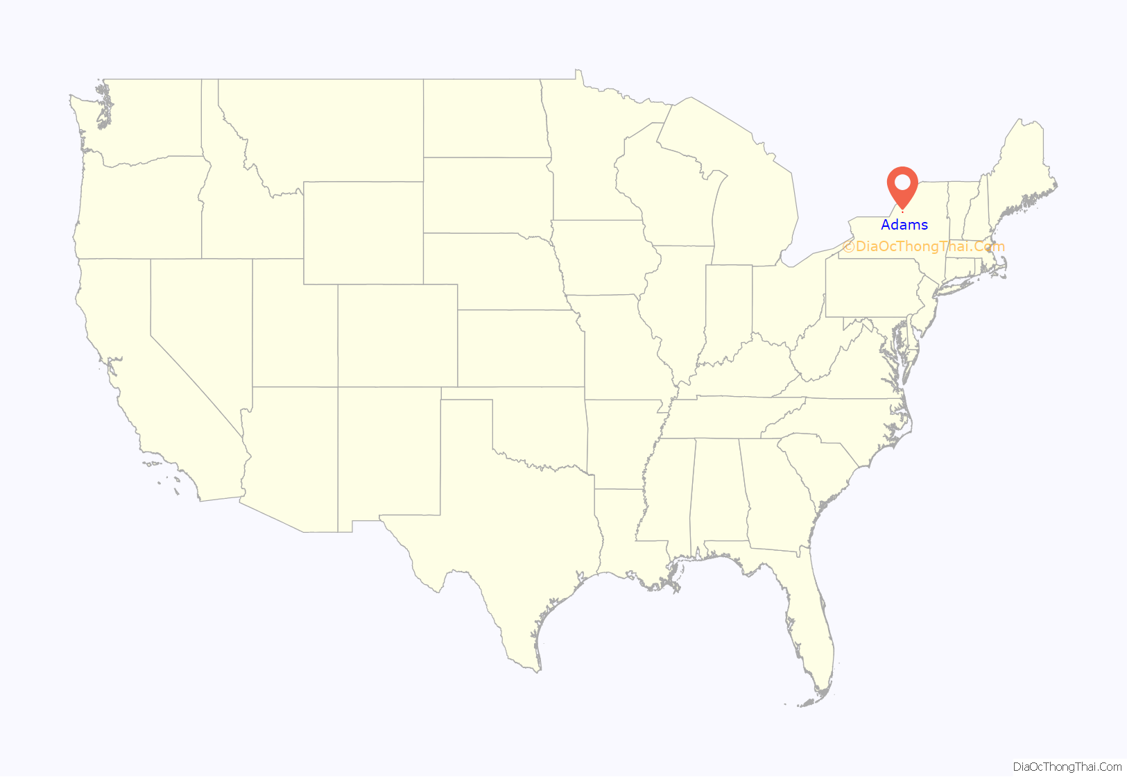
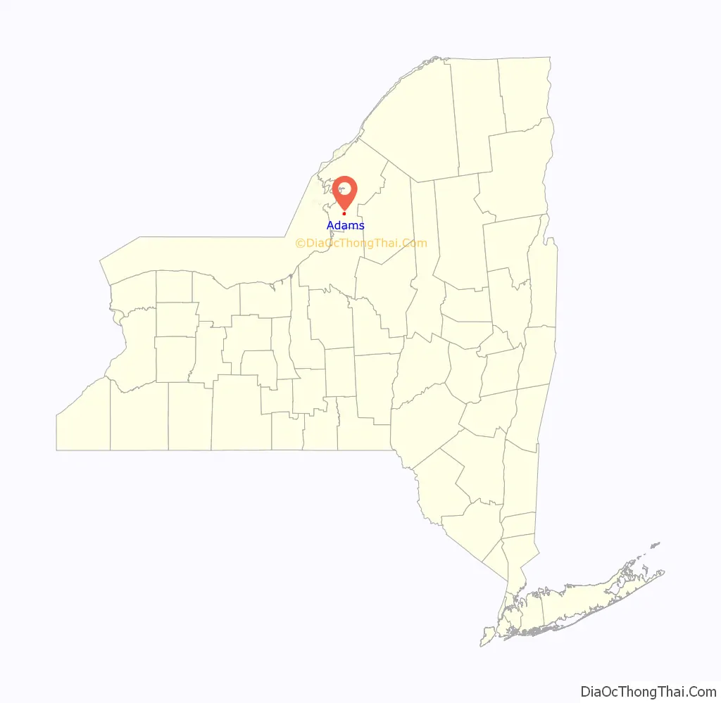
Adams location map. Where is Adams village?
History
The village was first settled around 1800 and was called “Smith’s Mills”. It was incorporated in 1851. The historic core of the village was listed on the National Register of Historic Places in 2006 as the Adams Commercial Historic District. and the Smith-Ripley House was listed in 2008.
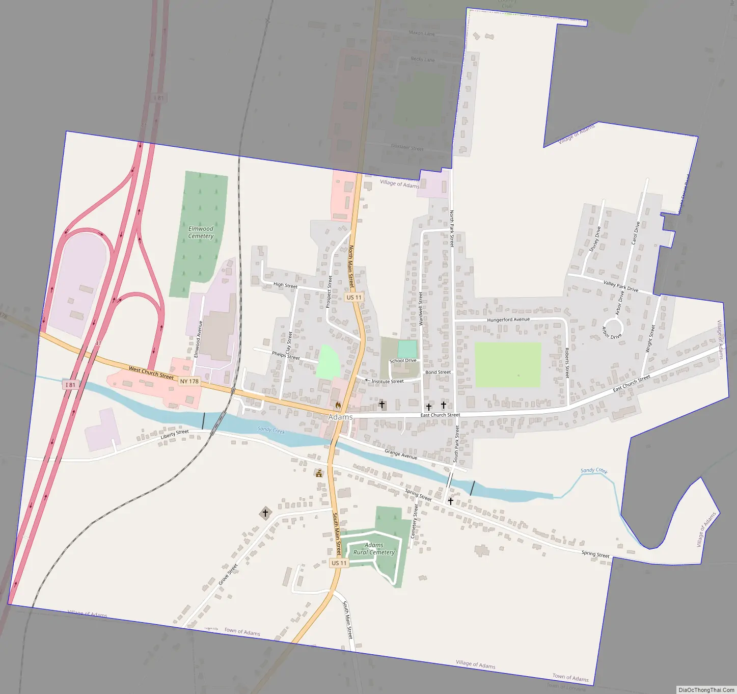
Adams Road Map
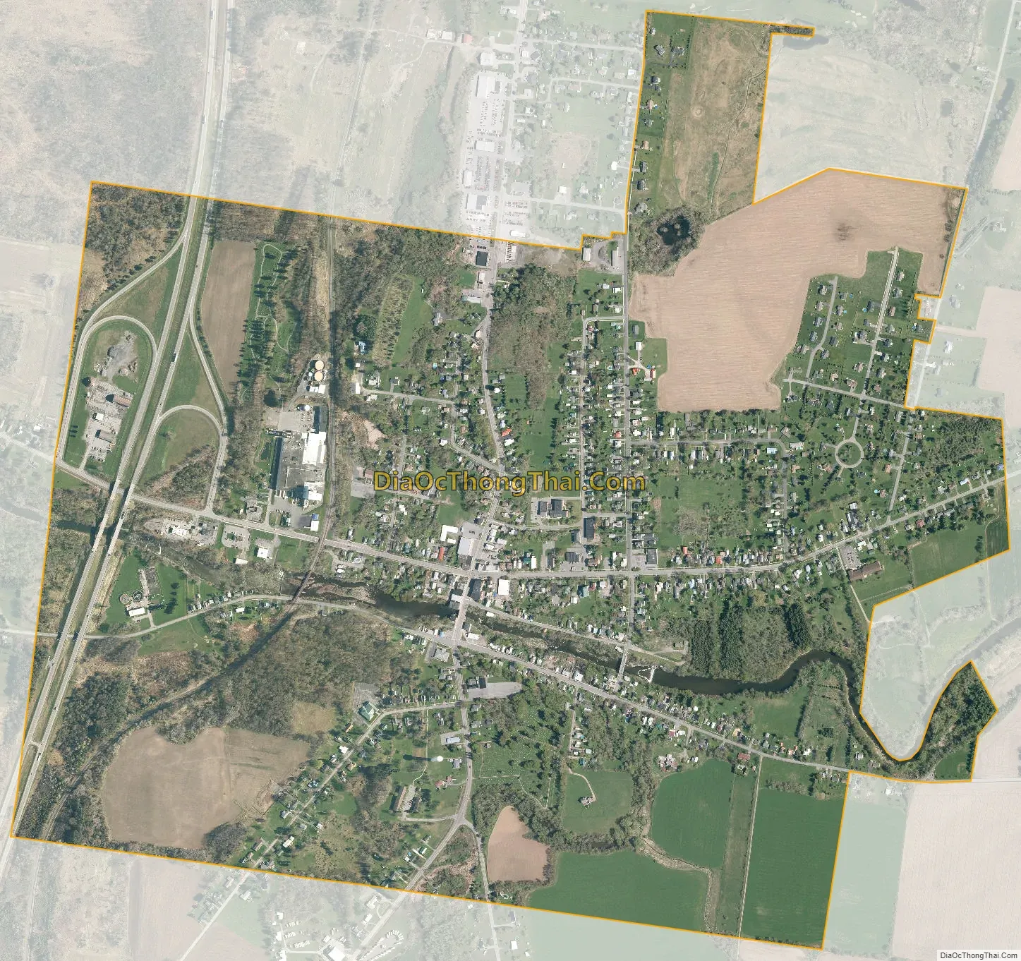
Adams city Satellite Map
Geography
Adams is located in southern Jefferson County at 43°48′32″N 76°1′25″W / 43.80889°N 76.02361°W / 43.80889; -76.02361 (43.809088, -76.02385), in the southern part of the town of Adams.
According to the United States Census Bureau, the village has a total area of 1.45 square miles (3.75 km), all land.
The village is adjacent to Interstate 81 and is located on U.S. Route 11 at New York State Route 178. I-81 and US-11 lead north 13 miles (21 km) to Watertown, the county seat, and south 55 miles (89 km) to Syracuse. NY-178 leads west 9 miles (14 km) to Henderson.
Sandy Creek is a stream that flows past the village on its southern border.
See also
Map of New York State and its subdivision:- Albany
- Allegany
- Bronx
- Broome
- Cattaraugus
- Cayuga
- Chautauqua
- Chemung
- Chenango
- Clinton
- Columbia
- Cortland
- Delaware
- Dutchess
- Erie
- Essex
- Franklin
- Fulton
- Genesee
- Greene
- Hamilton
- Herkimer
- Jefferson
- Kings
- Lake Ontario
- Lewis
- Livingston
- Madison
- Monroe
- Montgomery
- Nassau
- New York
- Niagara
- Oneida
- Onondaga
- Ontario
- Orange
- Orleans
- Oswego
- Otsego
- Putnam
- Queens
- Rensselaer
- Richmond
- Rockland
- Saint Lawrence
- Saratoga
- Schenectady
- Schoharie
- Schuyler
- Seneca
- Steuben
- Suffolk
- Sullivan
- Tioga
- Tompkins
- Ulster
- Warren
- Washington
- Wayne
- Westchester
- Wyoming
- Yates
- Alabama
- Alaska
- Arizona
- Arkansas
- California
- Colorado
- Connecticut
- Delaware
- District of Columbia
- Florida
- Georgia
- Hawaii
- Idaho
- Illinois
- Indiana
- Iowa
- Kansas
- Kentucky
- Louisiana
- Maine
- Maryland
- Massachusetts
- Michigan
- Minnesota
- Mississippi
- Missouri
- Montana
- Nebraska
- Nevada
- New Hampshire
- New Jersey
- New Mexico
- New York
- North Carolina
- North Dakota
- Ohio
- Oklahoma
- Oregon
- Pennsylvania
- Rhode Island
- South Carolina
- South Dakota
- Tennessee
- Texas
- Utah
- Vermont
- Virginia
- Washington
- West Virginia
- Wisconsin
- Wyoming


