Adams Center (formerly called Adams Five Corners) is a hamlet and census-designated place (CDP) in the town of Adams in Jefferson County, New York, United States. The population was 1,492 during the 2020 decennial census.
| Name: | Adams Center CDP |
|---|---|
| LSAD Code: | 57 |
| LSAD Description: | CDP (suffix) |
| State: | New York |
| County: | Jefferson County |
| Elevation: | 640 ft (195 m) |
| Total Area: | 5.00 sq mi (12.94 km²) |
| Land Area: | 4.86 sq mi (12.59 km²) |
| Water Area: | 0.14 sq mi (0.35 km²) |
| Total Population: | 1,492 |
| Population Density: | 307.00/sq mi (118.53/km²) |
| ZIP code: | 13606 |
| Area code: | 315 |
| FIPS code: | 3600232 |
| GNISfeature ID: | 0942163 |
Online Interactive Map
Click on ![]() to view map in "full screen" mode.
to view map in "full screen" mode.
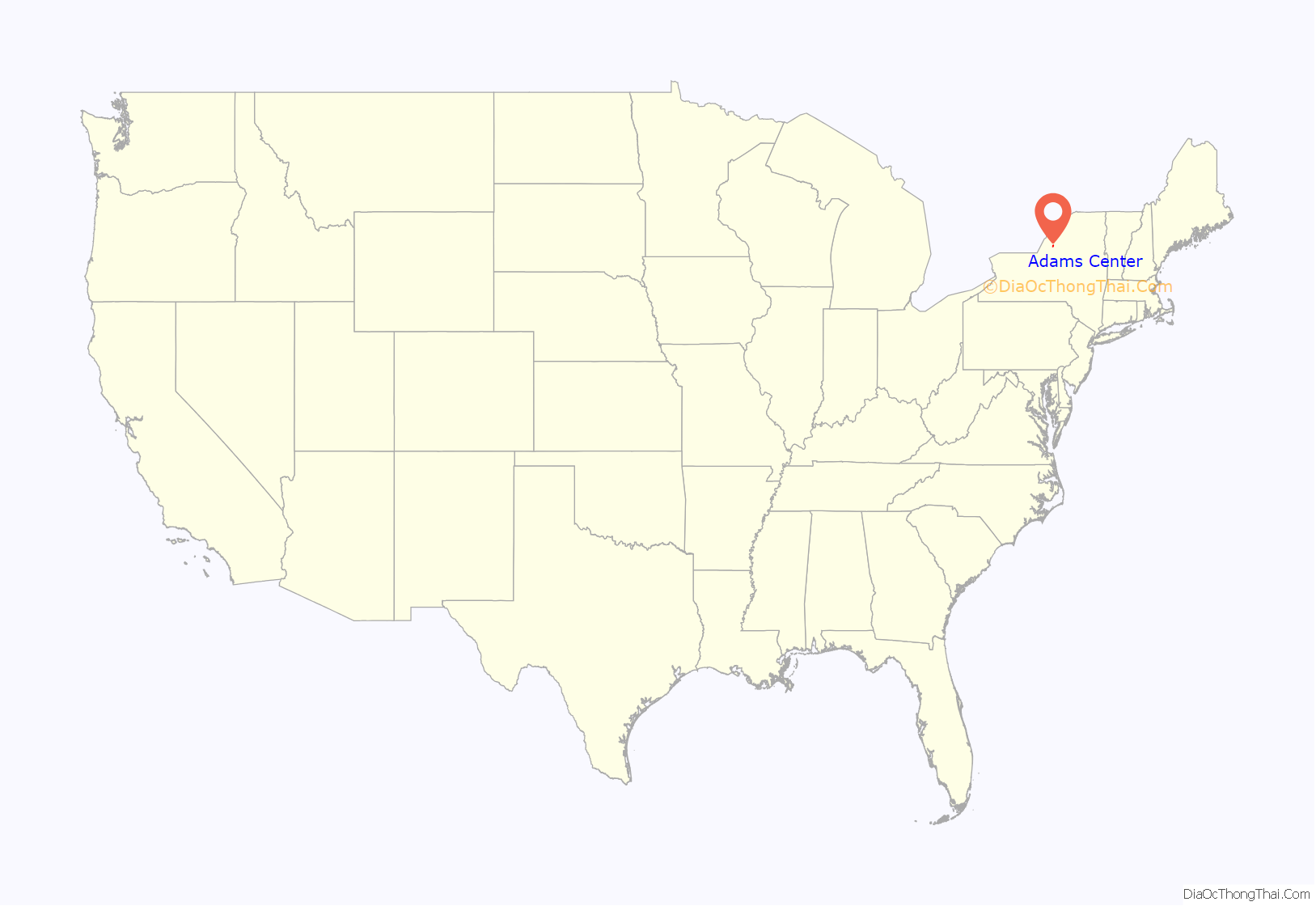
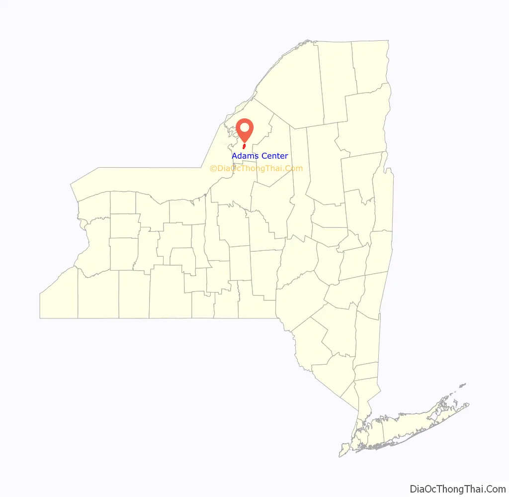
Adams Center location map. Where is Adams Center CDP?
History
The community was founded c. 1816. A railroad line was completed in 1852.
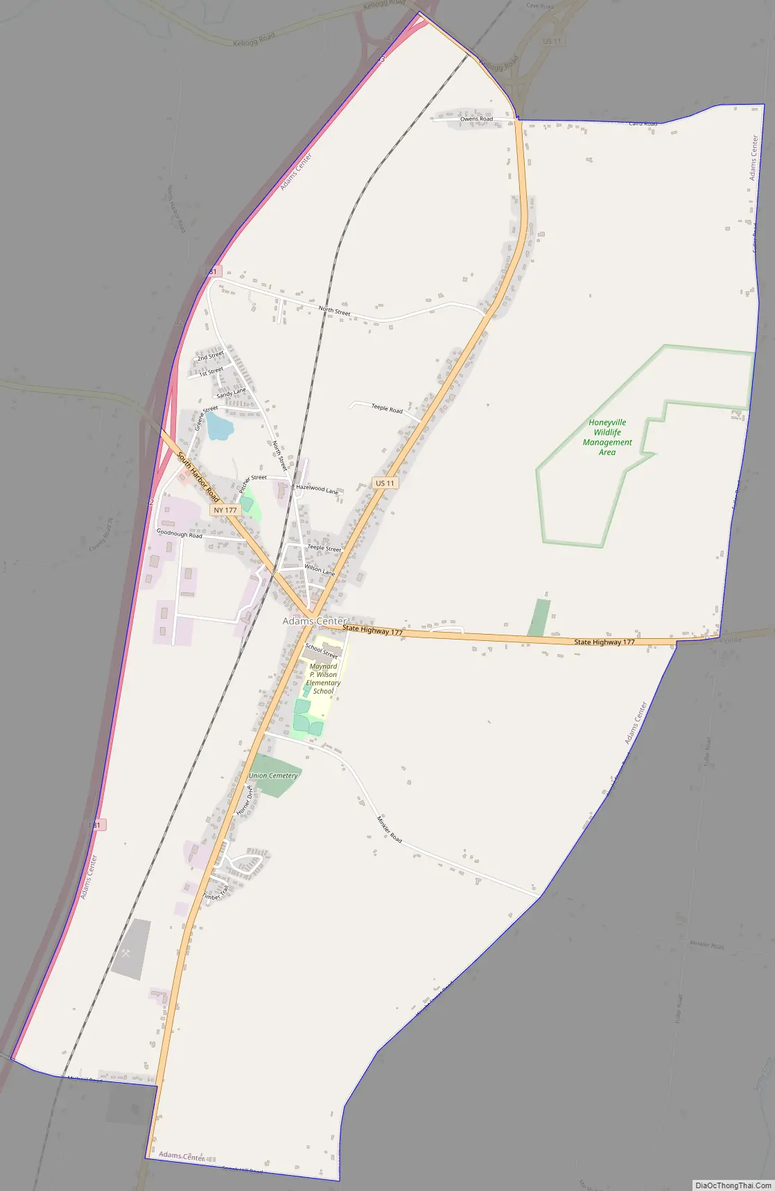
Adams Center Road Map
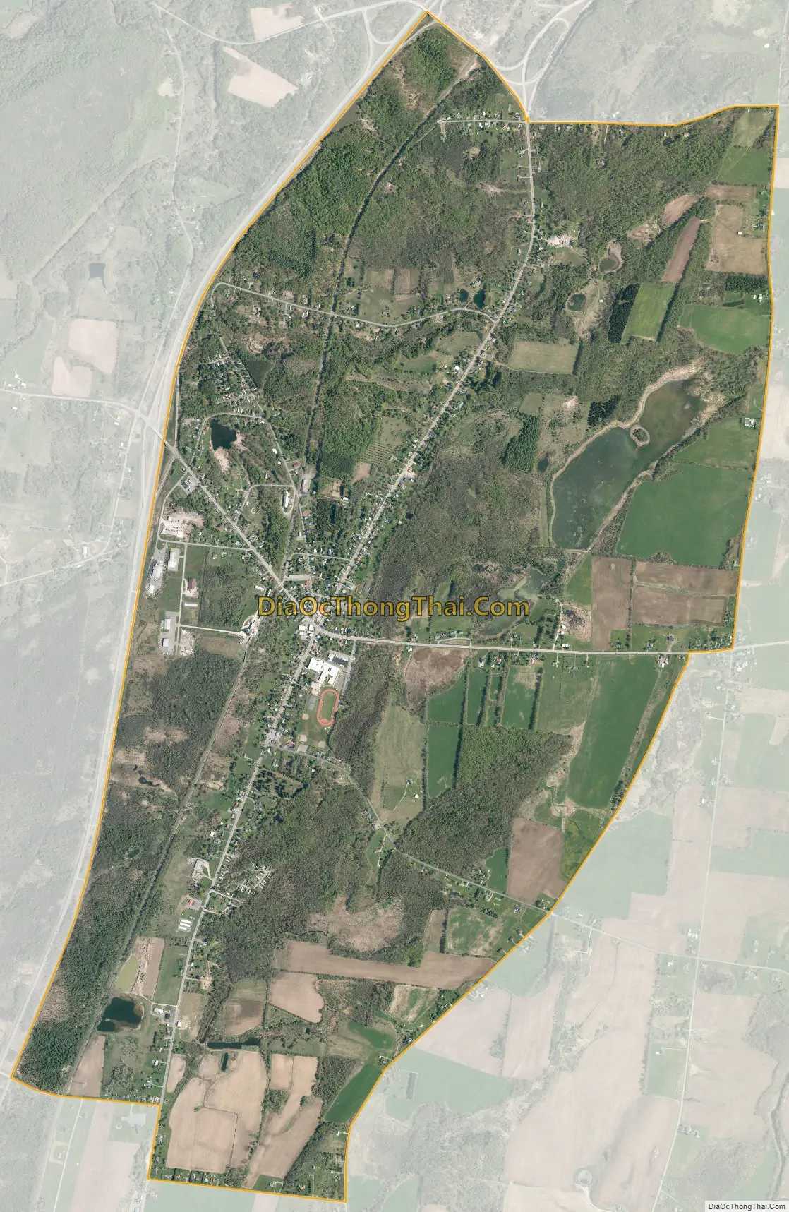
Adams Center city Satellite Map
Geography
Adams Center is in southern Jefferson County at 43°51′44″N 76°0′25″W / 43.86222°N 76.00694°W / 43.86222; -76.00694 (43.862191, -76.006955), in the northeastern part of the town of Adams.
According to the United States Census Bureau, the CDP has a total area of 5.0 square miles (12.9 km), of which 4.86 square miles (12.58 km) are land and 0.14 square miles (0.35 km), or 2.71%, are water.
U.S. Route 11, County Roads 66 and 76, and New York State Route 177 pass through the community, and Interstate 81 runs along the western side, with access from Exit 42. US-11 and I-81 each lead north 10 miles (16 km) to Watertown, the Jefferson county seat. US-11 leads south 3.5 miles (5.6 km) to the village of Adams, while I-81 leads south 60 miles (97 km) to Syracuse. NY-177 leads east across the Tug Hill Plateau 24 miles (39 km) to West Lowville.
See also
Map of New York State and its subdivision:- Albany
- Allegany
- Bronx
- Broome
- Cattaraugus
- Cayuga
- Chautauqua
- Chemung
- Chenango
- Clinton
- Columbia
- Cortland
- Delaware
- Dutchess
- Erie
- Essex
- Franklin
- Fulton
- Genesee
- Greene
- Hamilton
- Herkimer
- Jefferson
- Kings
- Lake Ontario
- Lewis
- Livingston
- Madison
- Monroe
- Montgomery
- Nassau
- New York
- Niagara
- Oneida
- Onondaga
- Ontario
- Orange
- Orleans
- Oswego
- Otsego
- Putnam
- Queens
- Rensselaer
- Richmond
- Rockland
- Saint Lawrence
- Saratoga
- Schenectady
- Schoharie
- Schuyler
- Seneca
- Steuben
- Suffolk
- Sullivan
- Tioga
- Tompkins
- Ulster
- Warren
- Washington
- Wayne
- Westchester
- Wyoming
- Yates
- Alabama
- Alaska
- Arizona
- Arkansas
- California
- Colorado
- Connecticut
- Delaware
- District of Columbia
- Florida
- Georgia
- Hawaii
- Idaho
- Illinois
- Indiana
- Iowa
- Kansas
- Kentucky
- Louisiana
- Maine
- Maryland
- Massachusetts
- Michigan
- Minnesota
- Mississippi
- Missouri
- Montana
- Nebraska
- Nevada
- New Hampshire
- New Jersey
- New Mexico
- New York
- North Carolina
- North Dakota
- Ohio
- Oklahoma
- Oregon
- Pennsylvania
- Rhode Island
- South Carolina
- South Dakota
- Tennessee
- Texas
- Utah
- Vermont
- Virginia
- Washington
- West Virginia
- Wisconsin
- Wyoming


