Albion is a village in Orleans County, New York, United States. The population was 5,637 as of the 2020 census, down 419 from the 2010 census. The village is centrally located in the county, and is partly within the towns of both Albion and Gaines. It is the county seat of Orleans County and is about 30 miles (48 km) west/northwest of Rochester. Albion is part of the Rochester metropolitan area.
| Name: | Albion village |
|---|---|
| LSAD Code: | 47 |
| LSAD Description: | village (suffix) |
| State: | New York |
| County: | Orleans County |
| Incorporated: | 1828 |
| Elevation: | 540 ft (160 m) |
| Total Area: | 2.92 sq mi (7.56 km²) |
| Land Area: | 2.92 sq mi (7.56 km²) |
| Water Area: | 0.00 sq mi (0.00 km²) |
| Total Population: | 5,637 |
| Population Density: | 1,930.48/sq mi (745.47/km²) |
| ZIP code: | 14411 |
| Area code: | 585 |
| FIPS code: | 3601033 |
| GNISfeature ID: | 2391504 |
| Website: | vil.albion.ny.us |
Online Interactive Map
Click on ![]() to view map in "full screen" mode.
to view map in "full screen" mode.
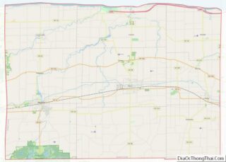
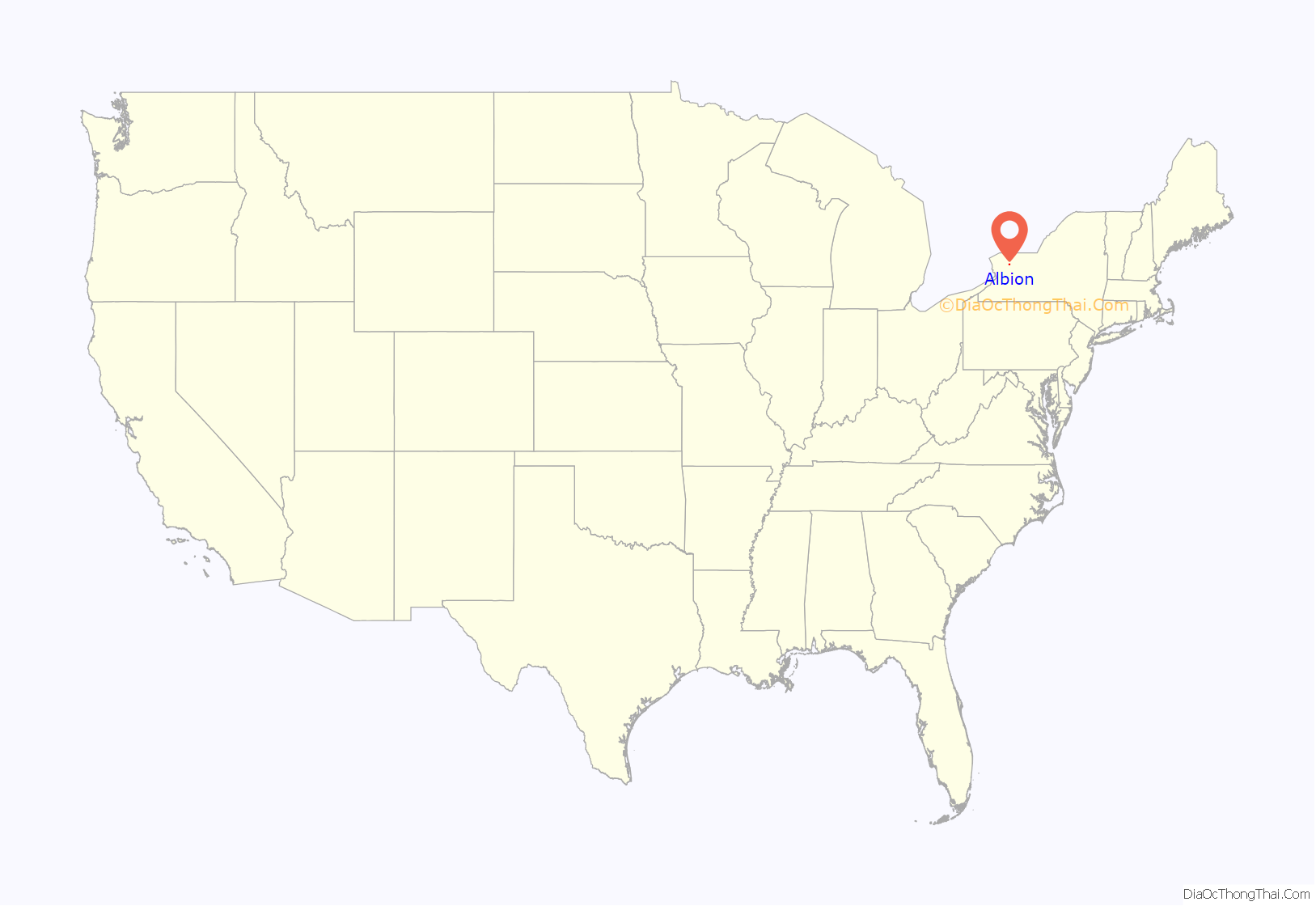
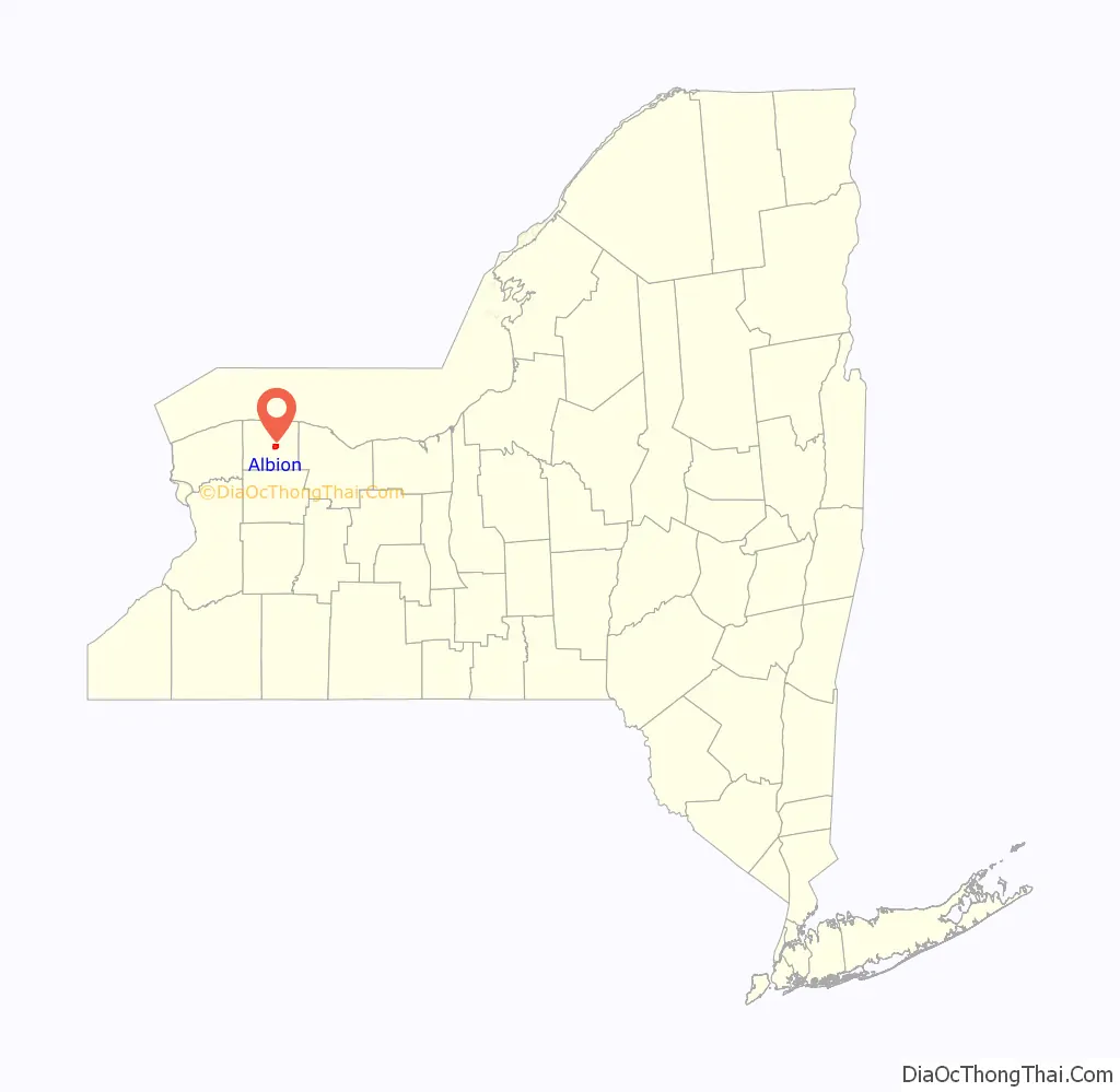
Albion location map. Where is Albion village?
History
The Albion area was first settled by European Americans in 1812. This area attracted few residents before the announcement, near the end of the decade, that the Erie Canal would be constructed through here. In 1822, an entrepreneur named Nehemiah Ingersoll bought much of the land near the planned intersection of the canal and Oak Orchard Road, the main north-south route through the area at the time. The property was soon subdivided, and the village, then known as Newport, began to grow.
Orleans County was created two years later. State officials considered both Gaines (then more populous) and Newport as the county seat due to their central locations within the new county. They chose Newport in 1826 due to its location on the canal and the West Branch of Sandy Creek, where a mill had already been established. The next year the village changed its name to Albion to avoid postal confusion with New York’s other Newport, in Oneida County. In 1828 it was incorporated as a village.
The William V. N. Barlow House, North Main–Bank Streets Historic District, Orleans County Courthouse Historic District, Tousley-Church House, and United States Post Office are listed on the National Register of Historic Places.
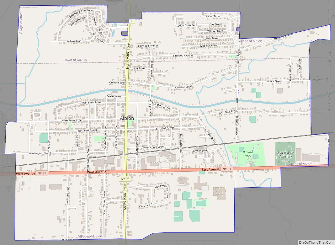
Albion Road Map
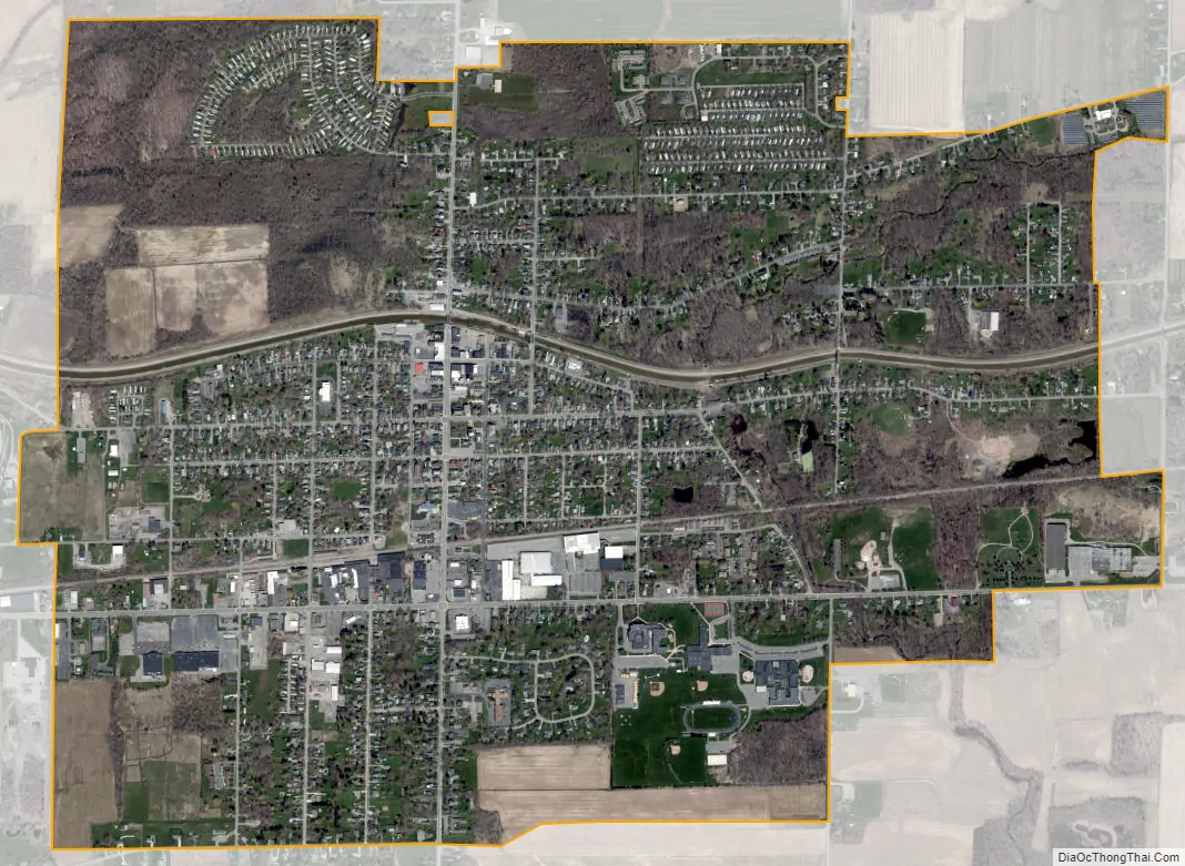
Albion city Satellite Map
Geography
Albion is located at 43°14′49″N 78°11′28″W / 43.24694°N 78.19111°W / 43.24694; -78.19111 (43.247211, -78.191264).
According to the United States Census Bureau, the village has a total area of 3.0 square miles (7.7 km), all land.
The Erie Canal passes through the community.
Albion is the site of the junction of east-west highway NYS Route 31 (East Avenue and West Avenue) and north-south highway NYS Route 98 (Main Street). NYS Route 279 joins NY-98 immediately north of Albion.
See also
Map of New York State and its subdivision:- Albany
- Allegany
- Bronx
- Broome
- Cattaraugus
- Cayuga
- Chautauqua
- Chemung
- Chenango
- Clinton
- Columbia
- Cortland
- Delaware
- Dutchess
- Erie
- Essex
- Franklin
- Fulton
- Genesee
- Greene
- Hamilton
- Herkimer
- Jefferson
- Kings
- Lake Ontario
- Lewis
- Livingston
- Madison
- Monroe
- Montgomery
- Nassau
- New York
- Niagara
- Oneida
- Onondaga
- Ontario
- Orange
- Orleans
- Oswego
- Otsego
- Putnam
- Queens
- Rensselaer
- Richmond
- Rockland
- Saint Lawrence
- Saratoga
- Schenectady
- Schoharie
- Schuyler
- Seneca
- Steuben
- Suffolk
- Sullivan
- Tioga
- Tompkins
- Ulster
- Warren
- Washington
- Wayne
- Westchester
- Wyoming
- Yates
- Alabama
- Alaska
- Arizona
- Arkansas
- California
- Colorado
- Connecticut
- Delaware
- District of Columbia
- Florida
- Georgia
- Hawaii
- Idaho
- Illinois
- Indiana
- Iowa
- Kansas
- Kentucky
- Louisiana
- Maine
- Maryland
- Massachusetts
- Michigan
- Minnesota
- Mississippi
- Missouri
- Montana
- Nebraska
- Nevada
- New Hampshire
- New Jersey
- New Mexico
- New York
- North Carolina
- North Dakota
- Ohio
- Oklahoma
- Oregon
- Pennsylvania
- Rhode Island
- South Carolina
- South Dakota
- Tennessee
- Texas
- Utah
- Vermont
- Virginia
- Washington
- West Virginia
- Wisconsin
- Wyoming