Alden is a village in Erie County, New York, United States. The population was 2,605 at the 2010 census. It is part of the Buffalo–Niagara Falls Metropolitan Statistical Area.
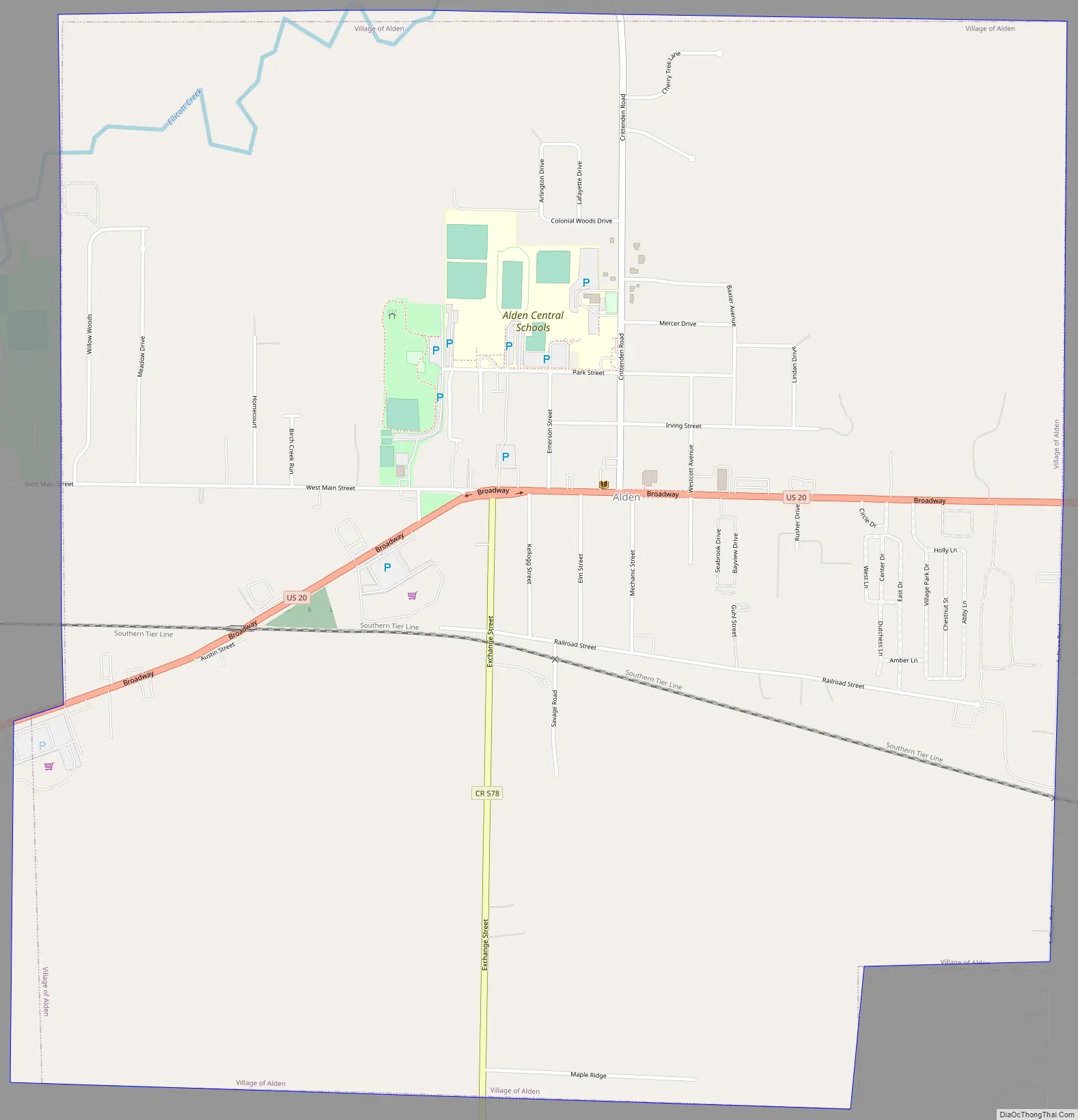
The village is centrally located within the town of Alden. Its principal street is Broadway (U.S. Route 20).
| Name: | Alden village |
|---|---|
| LSAD Code: | 47 |
| LSAD Description: | village (suffix) |
| State: | New York |
| County: | Erie County |
| Elevation: | 863 ft (263 m) |
| Total Area: | 2.72 sq mi (7.04 km²) |
| Land Area: | 2.72 sq mi (7.04 km²) |
| Water Area: | 0.00 sq mi (0.00 km²) |
| Total Population: | 2,604 |
| Population Density: | 958.06/sq mi (369.87/km²) |
| ZIP code: | 14004 |
| Area code: | 716 |
| FIPS code: | 3601088 |
| GNISfeature ID: | 0942255 |
| Website: | www2.erie.gov/village_alden |
Online Interactive Map
Click on ![]() to view map in "full screen" mode.
to view map in "full screen" mode.
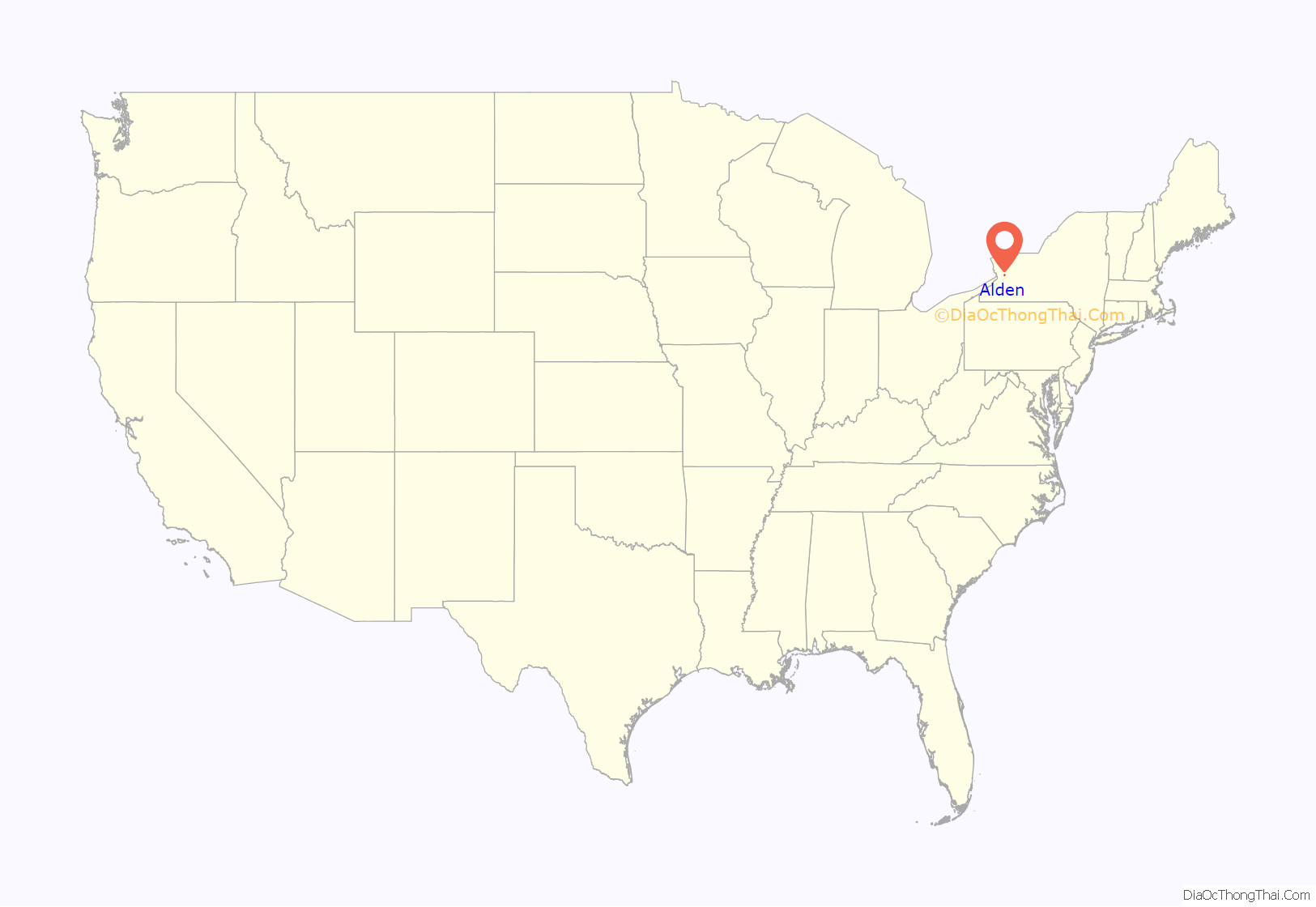
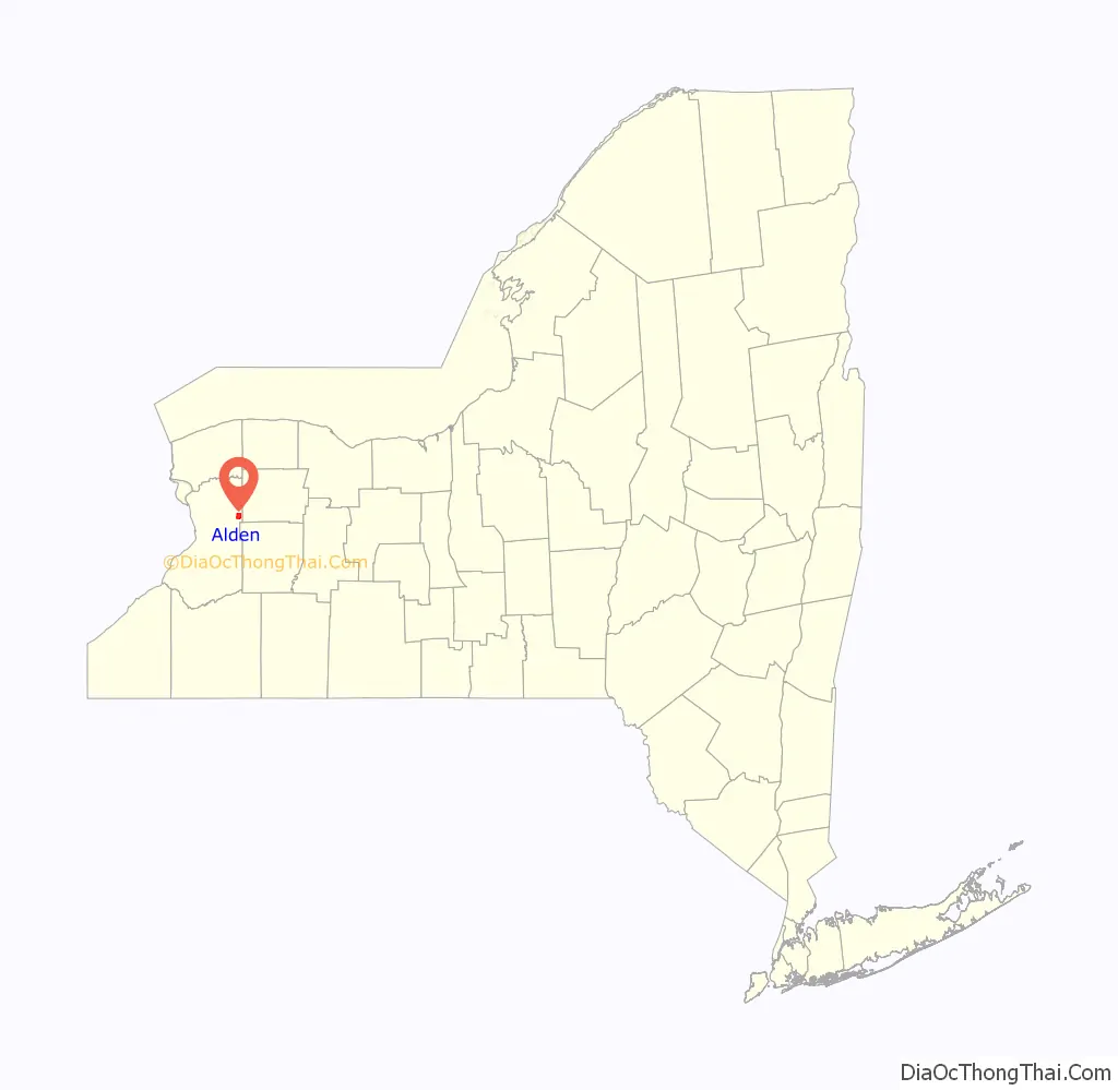
Alden location map. Where is Alden village?
History
Alden was incorporated in 1869. In 1996, residents of the village voted against dissolving to merge with the town.
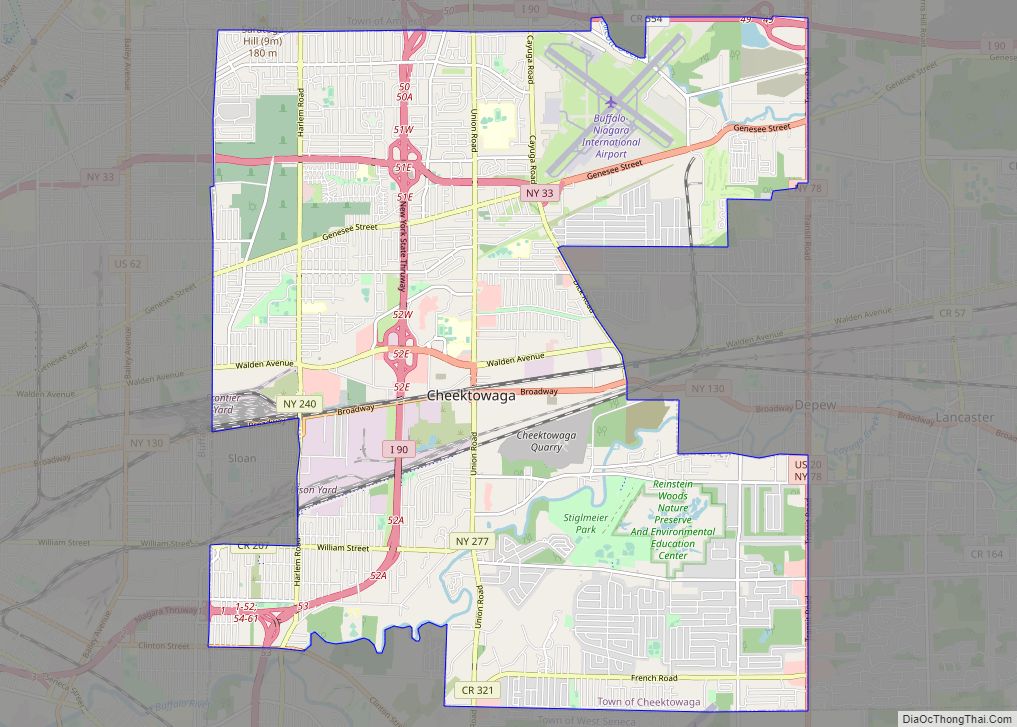
Alden Road Map
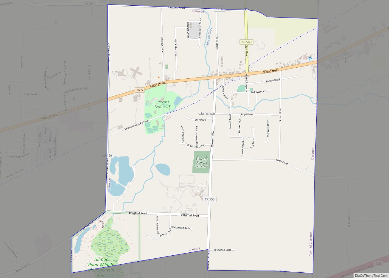
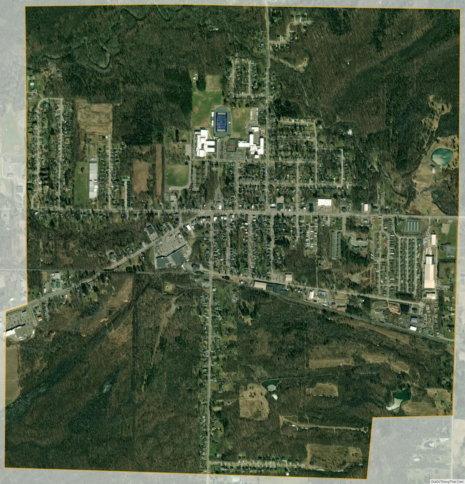
Alden city Satellite Map
Geography
According to the United States Census Bureau, the village has a total area of 2.7 square miles (7.0 km), all land.
US Route 20 (Broadway) intersects the northern terminus of former NY-239, now Erie County Route 578 (Exchange Street), in Alden village.
See also
Map of New York State and its subdivision:- Albany
- Allegany
- Bronx
- Broome
- Cattaraugus
- Cayuga
- Chautauqua
- Chemung
- Chenango
- Clinton
- Columbia
- Cortland
- Delaware
- Dutchess
- Erie
- Essex
- Franklin
- Fulton
- Genesee
- Greene
- Hamilton
- Herkimer
- Jefferson
- Kings
- Lake Ontario
- Lewis
- Livingston
- Madison
- Monroe
- Montgomery
- Nassau
- New York
- Niagara
- Oneida
- Onondaga
- Ontario
- Orange
- Orleans
- Oswego
- Otsego
- Putnam
- Queens
- Rensselaer
- Richmond
- Rockland
- Saint Lawrence
- Saratoga
- Schenectady
- Schoharie
- Schuyler
- Seneca
- Steuben
- Suffolk
- Sullivan
- Tioga
- Tompkins
- Ulster
- Warren
- Washington
- Wayne
- Westchester
- Wyoming
- Yates
- Alabama
- Alaska
- Arizona
- Arkansas
- California
- Colorado
- Connecticut
- Delaware
- District of Columbia
- Florida
- Georgia
- Hawaii
- Idaho
- Illinois
- Indiana
- Iowa
- Kansas
- Kentucky
- Louisiana
- Maine
- Maryland
- Massachusetts
- Michigan
- Minnesota
- Mississippi
- Missouri
- Montana
- Nebraska
- Nevada
- New Hampshire
- New Jersey
- New Mexico
- New York
- North Carolina
- North Dakota
- Ohio
- Oklahoma
- Oregon
- Pennsylvania
- Rhode Island
- South Carolina
- South Dakota
- Tennessee
- Texas
- Utah
- Vermont
- Virginia
- Washington
- West Virginia
- Wisconsin
- Wyoming