Alexandria Bay is a village in Jefferson County, New York, United States, within the town of Alexandria. It is located in the Thousand Islands region of northern New York. The population of the village was 1,078 at the 2010 United States Census. It lies near the Thousand Islands Border Crossing of Canada and the United States.
| Name: | Alexandria Bay village |
|---|---|
| LSAD Code: | 47 |
| LSAD Description: | village (suffix) |
| State: | New York |
| County: | Jefferson County |
| Elevation: | 284 ft (87 m) |
| Total Area: | 1.51 sq mi (3.90 km²) |
| Land Area: | 0.75 sq mi (1.94 km²) |
| Water Area: | 0.76 sq mi (1.96 km²) |
| Total Population: | 924 |
| Population Density: | 1,233.64/sq mi (476.12/km²) |
| ZIP code: | 13607 |
| Area code: | 315 |
| FIPS code: | 3601187 |
| GNISfeature ID: | 0942309 |
| Website: | www.villageofalexandriabay.com |
Online Interactive Map
Click on ![]() to view map in "full screen" mode.
to view map in "full screen" mode.
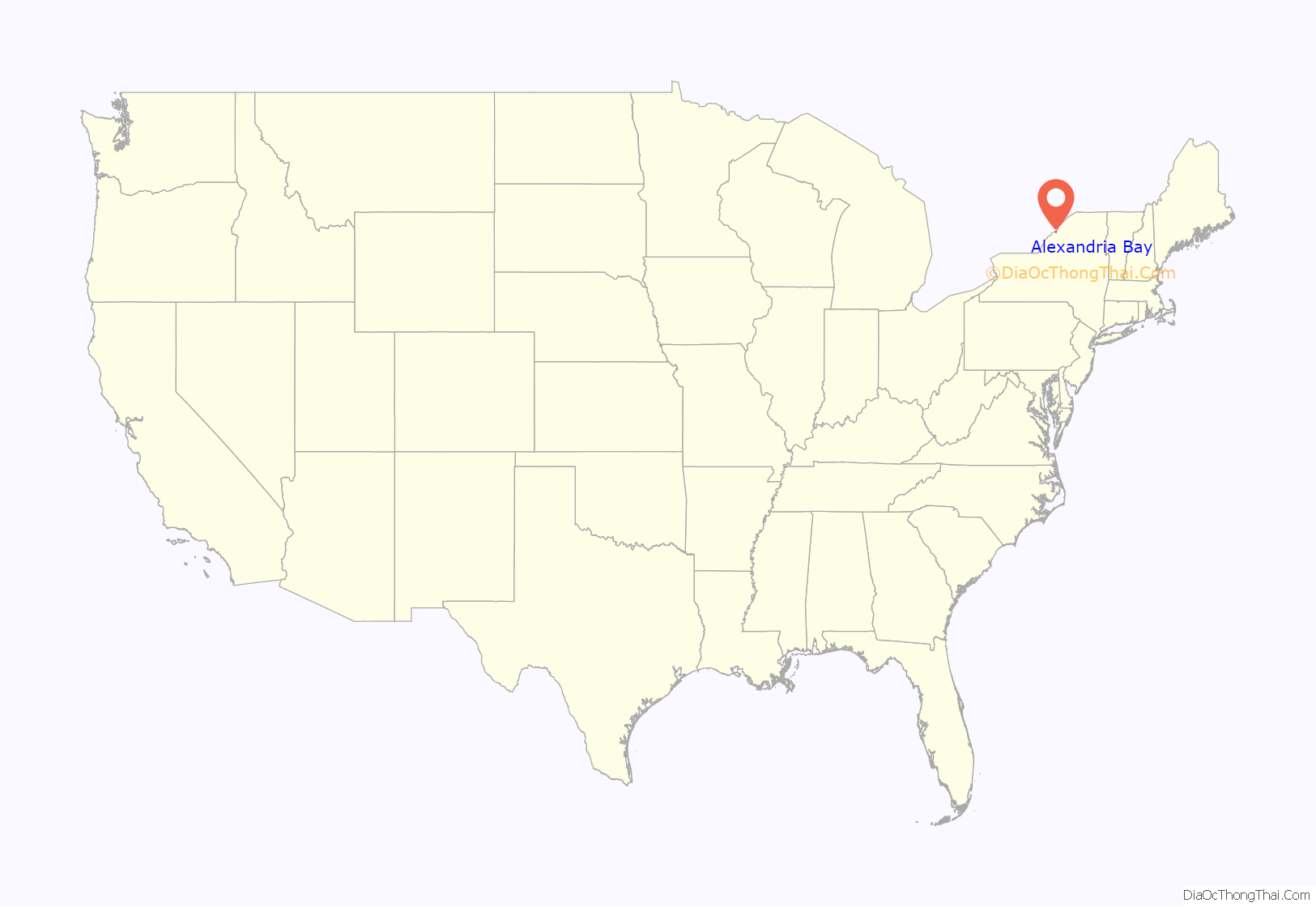
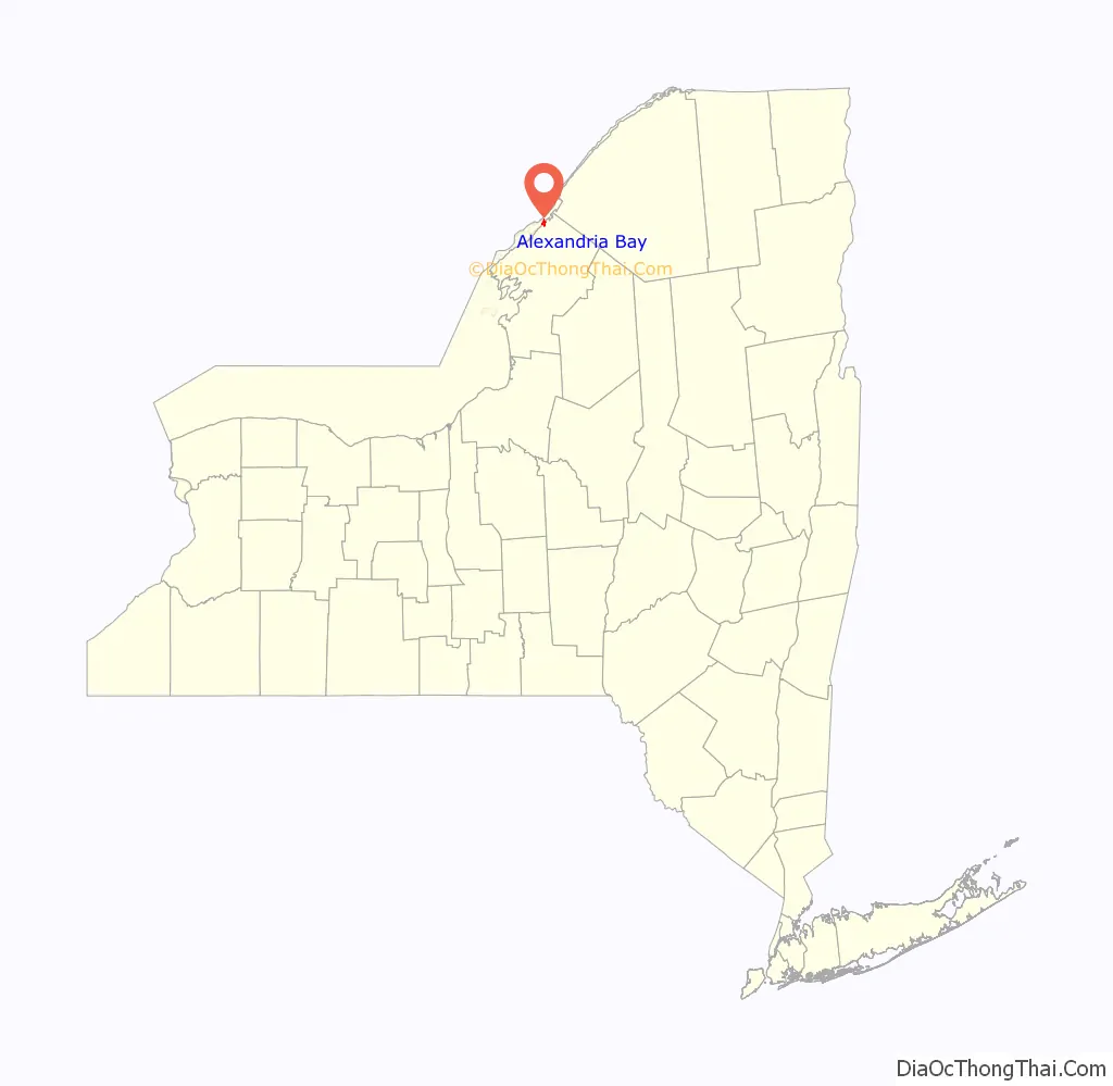
Alexandria Bay location map. Where is Alexandria Bay village?
History
Settlement began around 1817. By 1836, the community had about 25 dwellings.
The George C. Boldt Yacht House, Church of Saint Lawrence, Cornwall Brothers’ Store, Holland Library, Ingleside, and Longue Vue Island are listed on the National Register of Historic Places.
In its heyday as a late 19th century and early 20th century resort, its main access was via steamer from Clayton, NY. Its nearest rail connection was Redwood on the Rome, Watertown and Ogdensburg Railroad’s Rochester line bound for Ogdensburg.
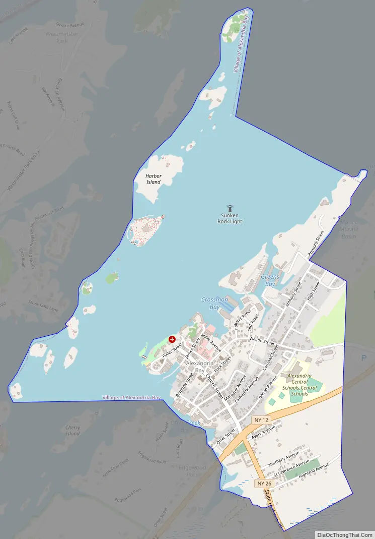
Alexandria Bay Road Map
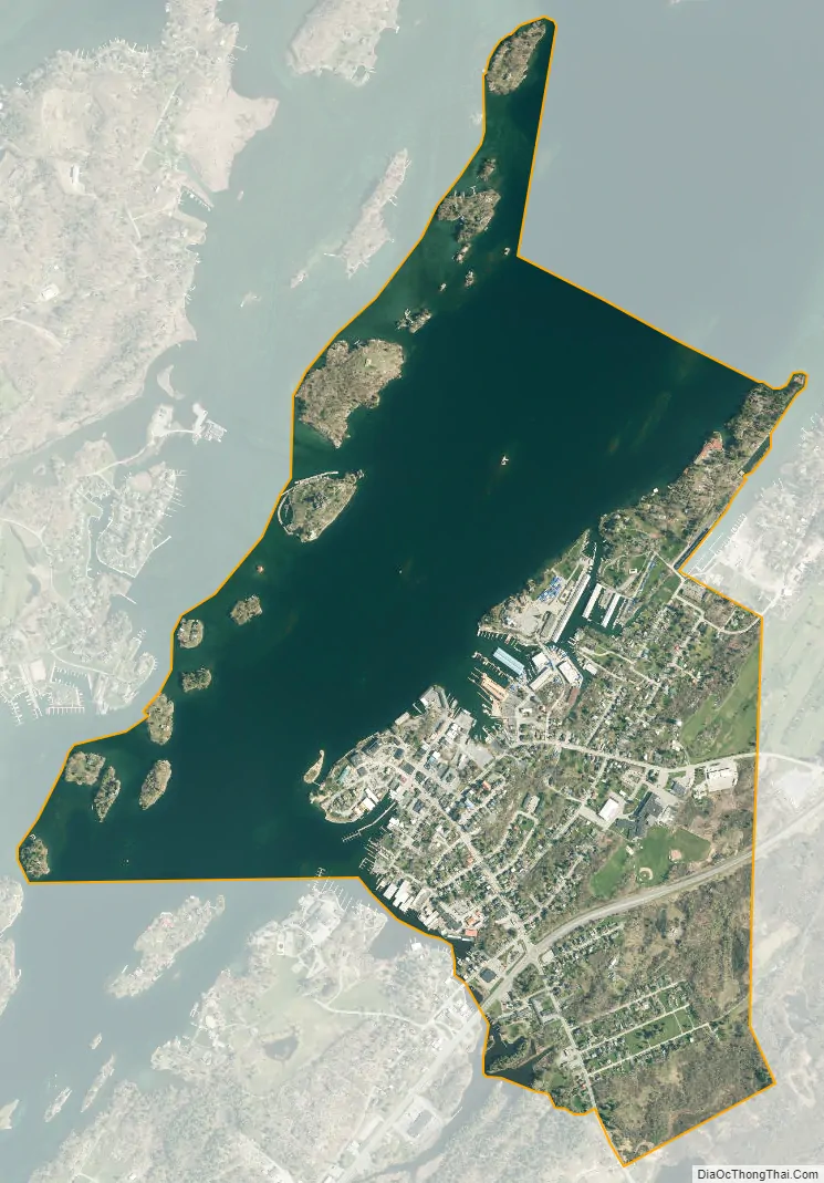
Alexandria Bay city Satellite Map
Geography
According to the United States Census Bureau, the village has a total area of 1.53 square miles (3.95 km), of which 0.76 square miles (1.98 km) are land and 0.76 square miles (1.97 km), or 49.77%, are water. The village is located on the south bank of the Saint Lawrence River near the U.S. and Canada international border. Keewaydin State Park is southwest of the village.
New York State Route 12 and New York State Route 26 intersect at the only stoplight in the village. NY-12 leads northeast (downriver) 36 miles (58 km) to Ogdensburg and southwest 11 miles (18 km) to Clayton. NY-26 has its northern terminus at Alexandria Bay and leads southeast 11 miles (18 km) to Theresa. Interstate 81 intersects NY-12 4 miles (6.4 km) southwest of Alexandria Bay, leading south 25 miles (40 km) to Watertown and 94 miles (151 km) to Syracuse, and north to the Thousand Islands Bridge into Canada.
See also
Map of New York State and its subdivision:- Albany
- Allegany
- Bronx
- Broome
- Cattaraugus
- Cayuga
- Chautauqua
- Chemung
- Chenango
- Clinton
- Columbia
- Cortland
- Delaware
- Dutchess
- Erie
- Essex
- Franklin
- Fulton
- Genesee
- Greene
- Hamilton
- Herkimer
- Jefferson
- Kings
- Lake Ontario
- Lewis
- Livingston
- Madison
- Monroe
- Montgomery
- Nassau
- New York
- Niagara
- Oneida
- Onondaga
- Ontario
- Orange
- Orleans
- Oswego
- Otsego
- Putnam
- Queens
- Rensselaer
- Richmond
- Rockland
- Saint Lawrence
- Saratoga
- Schenectady
- Schoharie
- Schuyler
- Seneca
- Steuben
- Suffolk
- Sullivan
- Tioga
- Tompkins
- Ulster
- Warren
- Washington
- Wayne
- Westchester
- Wyoming
- Yates
- Alabama
- Alaska
- Arizona
- Arkansas
- California
- Colorado
- Connecticut
- Delaware
- District of Columbia
- Florida
- Georgia
- Hawaii
- Idaho
- Illinois
- Indiana
- Iowa
- Kansas
- Kentucky
- Louisiana
- Maine
- Maryland
- Massachusetts
- Michigan
- Minnesota
- Mississippi
- Missouri
- Montana
- Nebraska
- Nevada
- New Hampshire
- New Jersey
- New Mexico
- New York
- North Carolina
- North Dakota
- Ohio
- Oklahoma
- Oregon
- Pennsylvania
- Rhode Island
- South Carolina
- South Dakota
- Tennessee
- Texas
- Utah
- Vermont
- Virginia
- Washington
- West Virginia
- Wisconsin
- Wyoming


