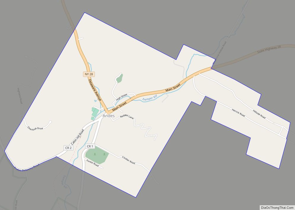
Andes is a hamlet and census-designated place (CDP) in Delaware County, New York, United States. The population was 252 at the 2010 census. It was formerly a village.
Andes is located on Route 28 and is the only significant community in the town of Andes.
| Name: | Andes CDP |
|---|---|
| LSAD Code: | 57 |
| LSAD Description: | CDP (suffix) |
| State: | New York |
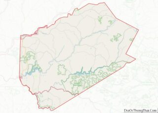
| County: | Delaware County |
| Incorporated: | January 3, 1861 |
| Elevation: | 1,598 ft (487 m) |
| Total Area: | 1.40 sq mi (3.62 km²) |
| Land Area: | 1.40 sq mi (3.62 km²) |
| Water Area: | 0.00 sq mi (0.00 km²) |
| Total Population: | 189 |
| Population Density: | 135.19/sq mi (52.18/km²) |
| ZIP code: | 13731 |
| Area code: | 845 |
| FIPS code: | 3602121 |
| GNISfeature ID: | 942462 |
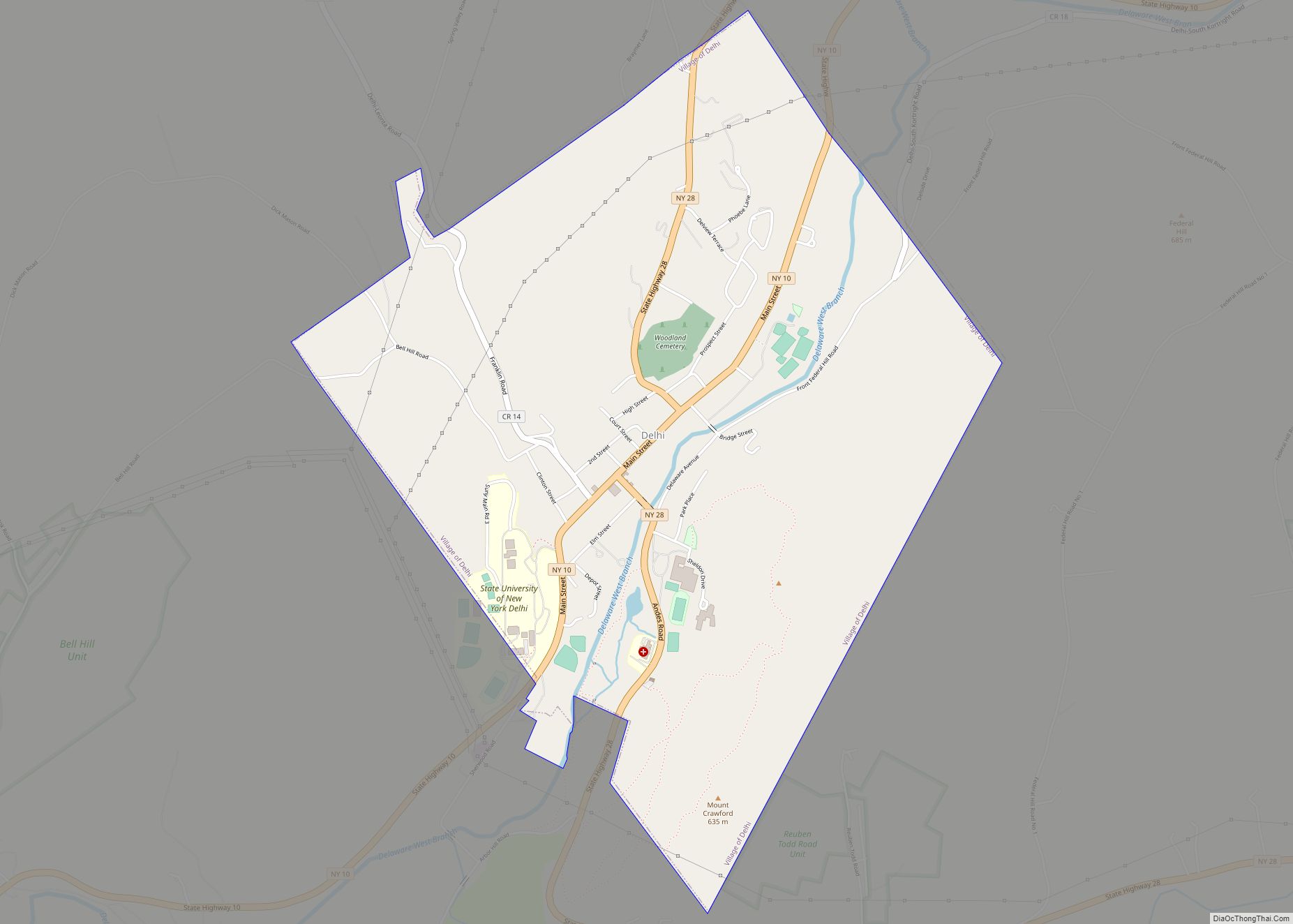
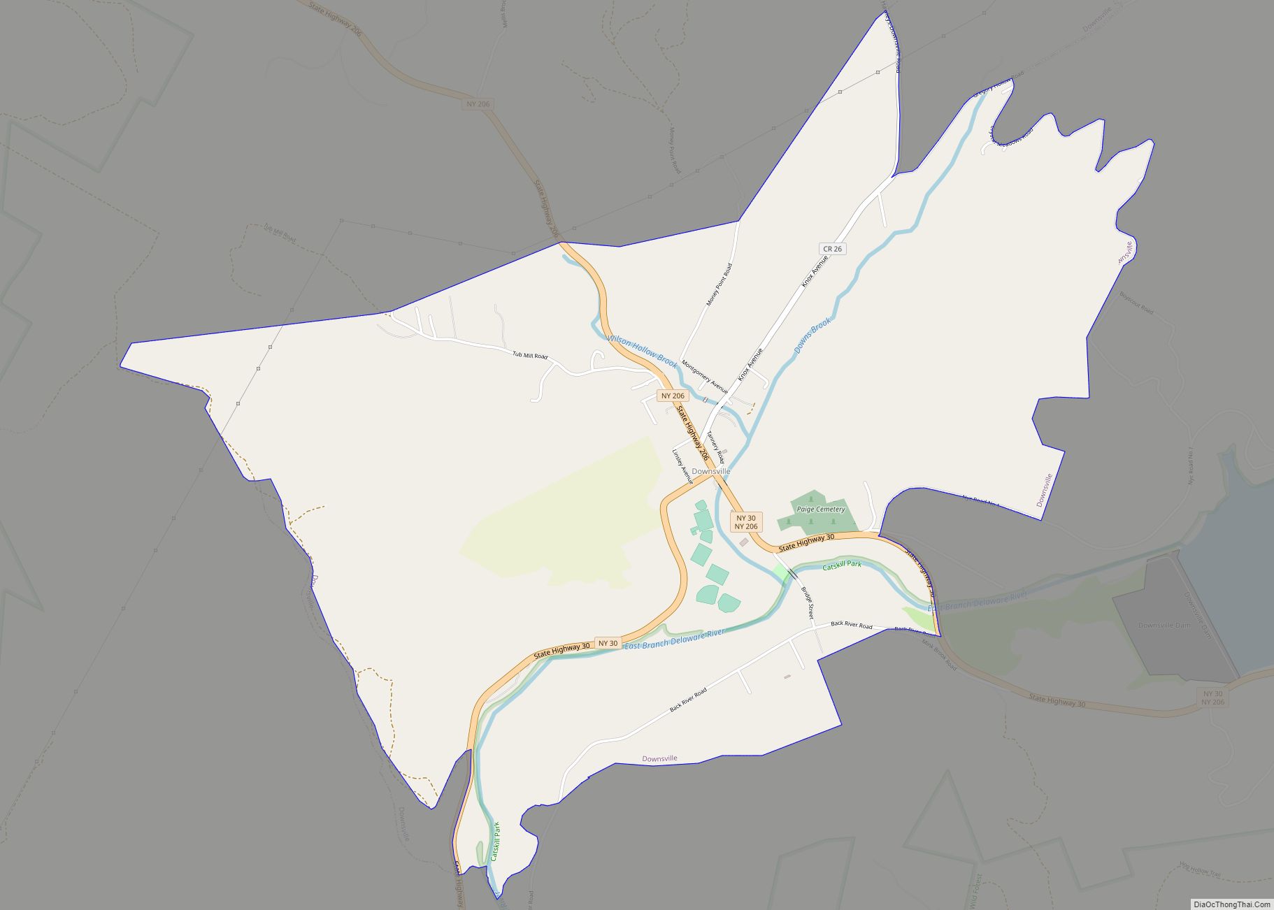
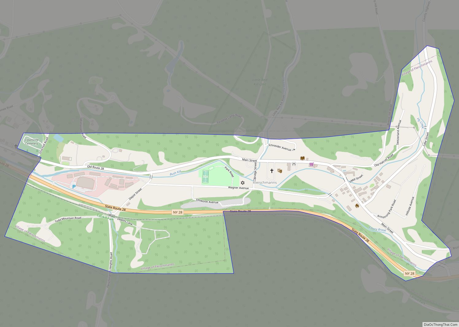
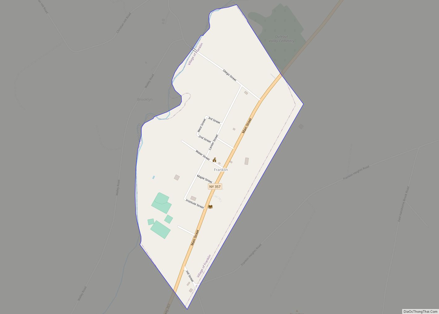
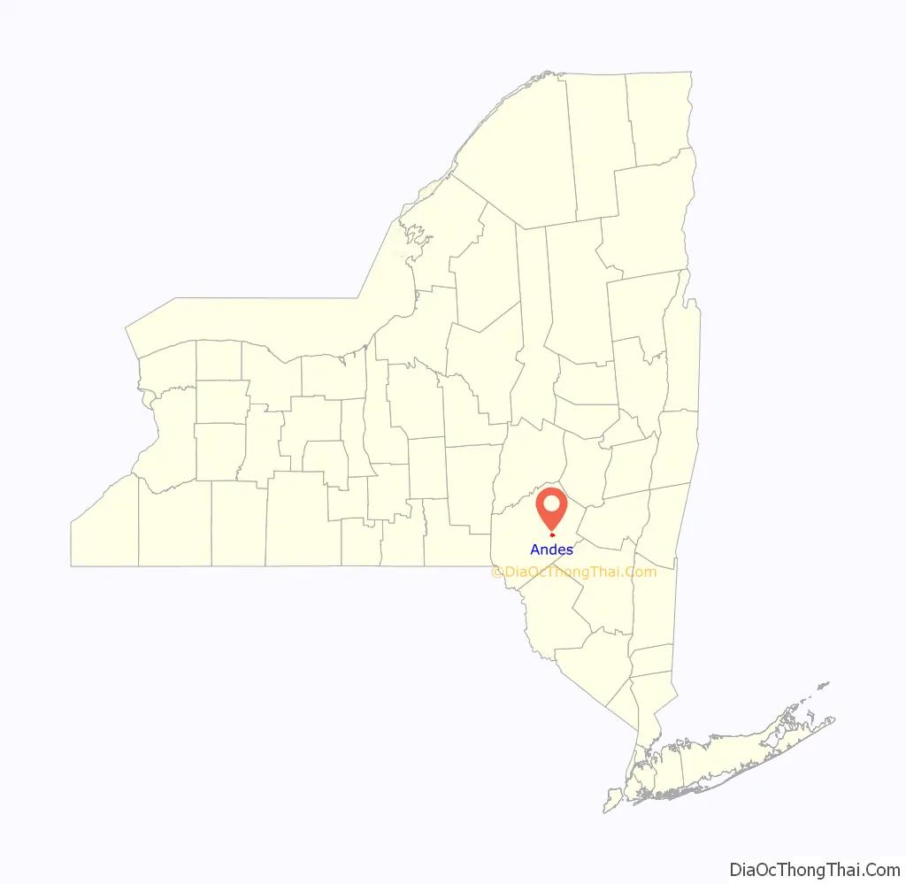
Online Interactive Map
Click on ![]() to view map in "full screen" mode.
to view map in "full screen" mode.
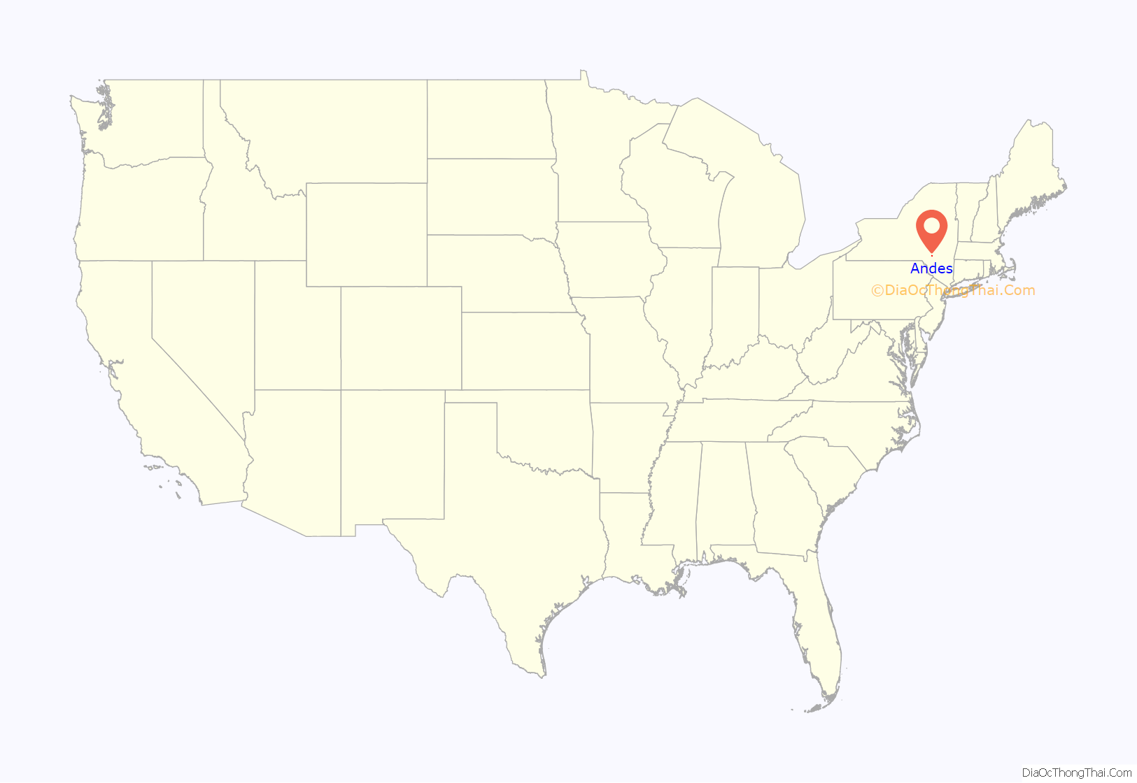
Andes location map. Where is Andes CDP?
History
The village was almost destroyed by a fire in 1878.
It is the location of the Andes Historic District and Andes Railroad Station, both listed on the National Register of Historic Places.
During a special village election on June 3, 2002, the residents approved the dissolution of the village by a vote of 81 to 63. On December 31, 2003, the incorporated village of Andes ceased to exist.
Andes Road Map
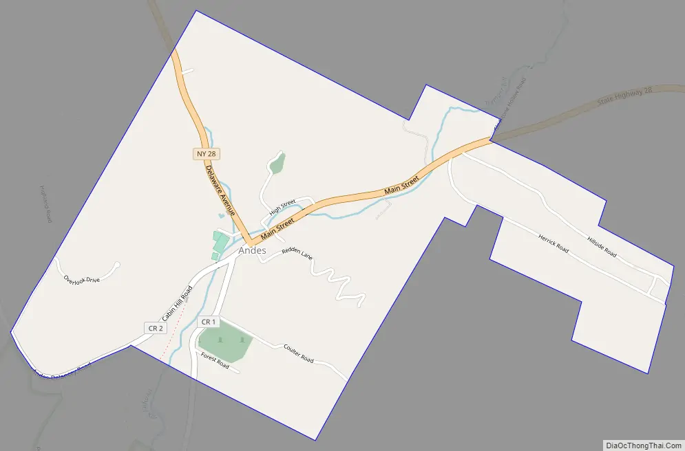
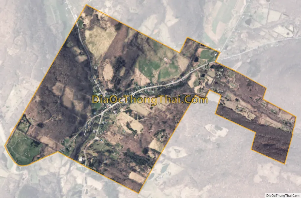
Andes city Satellite Map
Geography
The hamlet of Andes is located in the northern part of the town of Andes at 42°11′19″N 074°47′09″W / 42.18861°N 74.78583°W / 42.18861; -74.78583 (42.1886976, -74.7857138). Its elevation is 1,598 feet (487 m). New York Route 28 leads northwest 12 miles (19 km) to Delhi, the Delaware County seat, and southeast 11 miles (18 km) to Margaretville.
According to the United States Census Bureau, the Andes CDP has a total area of 1.2 square miles (3.1 km), all land.
See also
Map of New York State and its subdivision:- Albany
- Allegany
- Bronx
- Broome
- Cattaraugus
- Cayuga
- Chautauqua
- Chemung
- Chenango
- Clinton
- Columbia
- Cortland
- Delaware
- Dutchess
- Erie
- Essex
- Franklin
- Fulton
- Genesee
- Greene
- Hamilton
- Herkimer
- Jefferson
- Kings
- Lake Ontario
- Lewis
- Livingston
- Madison
- Monroe
- Montgomery
- Nassau
- New York
- Niagara
- Oneida
- Onondaga
- Ontario
- Orange
- Orleans
- Oswego
- Otsego
- Putnam
- Queens
- Rensselaer
- Richmond
- Rockland
- Saint Lawrence
- Saratoga
- Schenectady
- Schoharie
- Schuyler
- Seneca
- Steuben
- Suffolk
- Sullivan
- Tioga
- Tompkins
- Ulster
- Warren
- Washington
- Wayne
- Westchester
- Wyoming
- Yates
- Alabama
- Alaska
- Arizona
- Arkansas
- California
- Colorado
- Connecticut
- Delaware
- District of Columbia
- Florida
- Georgia
- Hawaii
- Idaho
- Illinois
- Indiana
- Iowa
- Kansas
- Kentucky
- Louisiana
- Maine
- Maryland
- Massachusetts
- Michigan
- Minnesota
- Mississippi
- Missouri
- Montana
- Nebraska
- Nevada
- New Hampshire
- New Jersey
- New Mexico
- New York
- North Carolina
- North Dakota
- Ohio
- Oklahoma
- Oregon
- Pennsylvania
- Rhode Island
- South Carolina
- South Dakota
- Tennessee
- Texas
- Utah
- Vermont
- Virginia
- Washington
- West Virginia
- Wisconsin
- Wyoming