Andover is a village located in the town of Andover in Allegany County, New York, United States. The population was 1,042 at the 2010 census. The name is derived from Andover, Vermont.
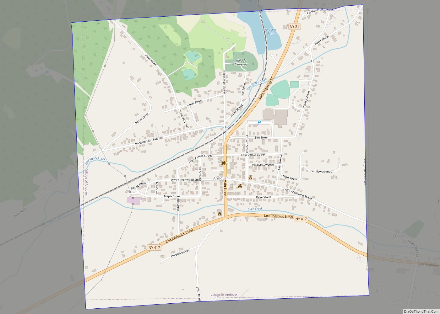
The village of Andover is centrally located in the town and near the east county line.
| Name: | Andover village |
|---|---|
| LSAD Code: | 47 |
| LSAD Description: | village (suffix) |
| State: | New York |
| County: | Allegany County |
| Elevation: | 1,660 ft (506 m) |
| Total Area: | 1.02 sq mi (2.63 km²) |
| Land Area: | 1.00 sq mi (2.59 km²) |
| Water Area: | 0.01 sq mi (0.04 km²) |
| Total Population: | 890 |
| Population Density: | 889.11/sq mi (343.30/km²) |
| ZIP code: | 14806 |
| Area code: | 607 |
| FIPS code: | 3602143 |
| GNISfeature ID: | 0942463 |
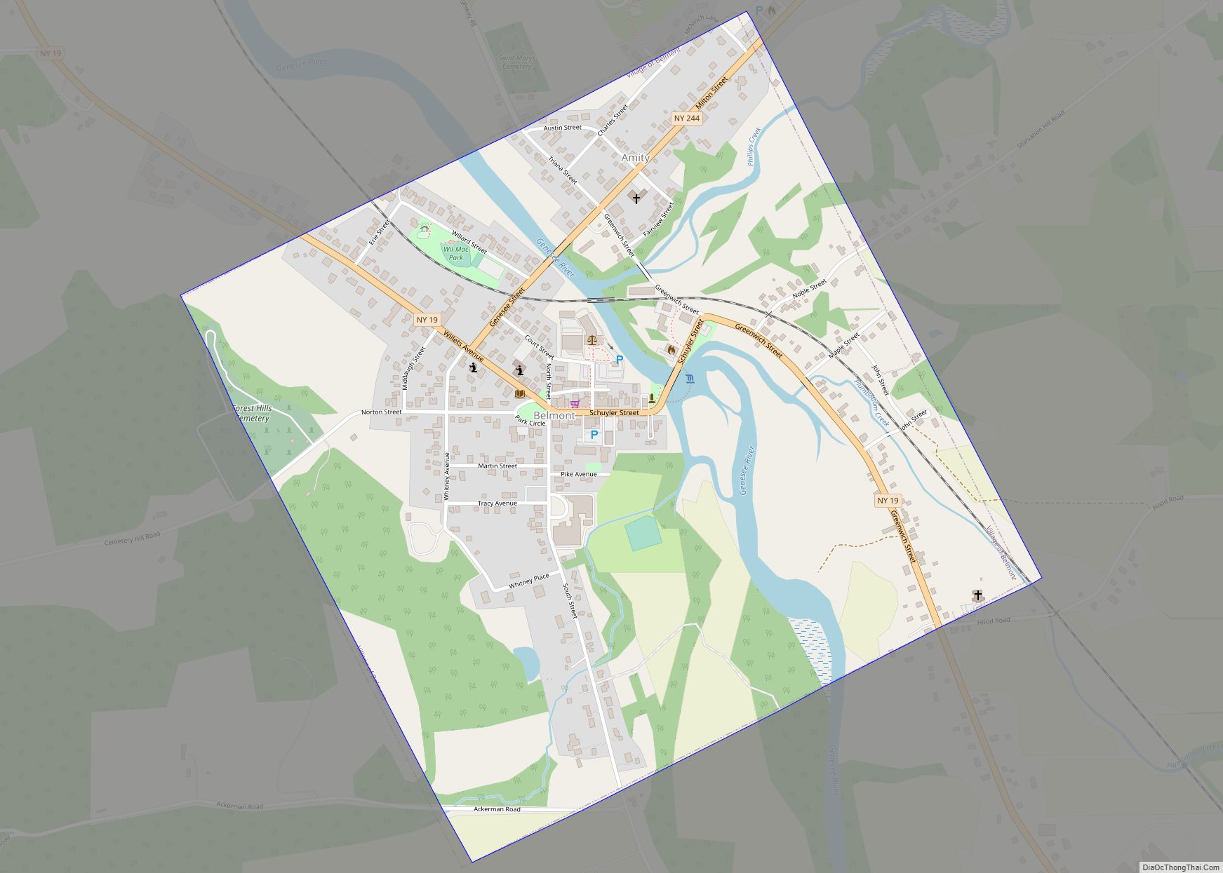
Online Interactive Map
Click on ![]() to view map in "full screen" mode.
to view map in "full screen" mode.
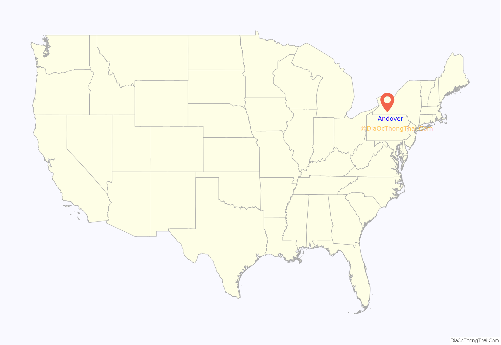
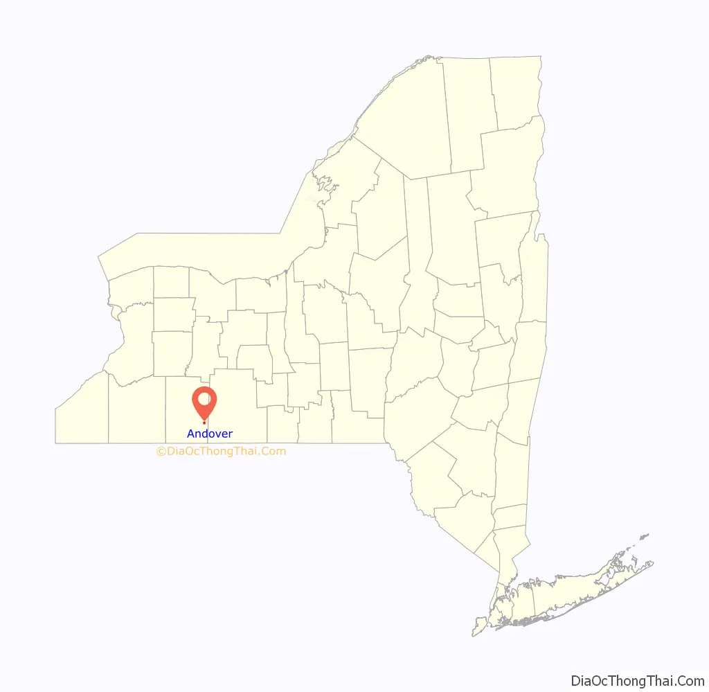
Andover location map. Where is Andover village?
History
The community was first settled circa 1807. The village of Andover was once called “Bakerstown”. The population in 1875 was 850.
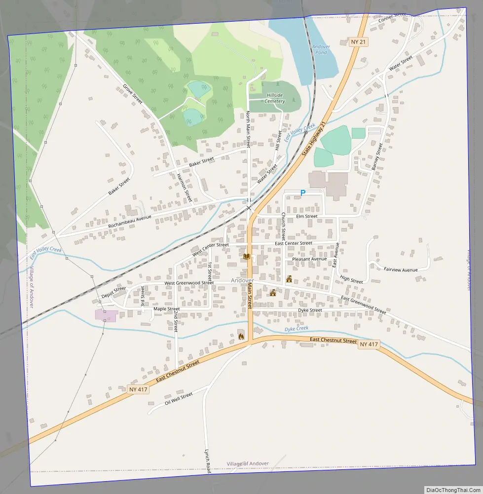
Andover Road Map
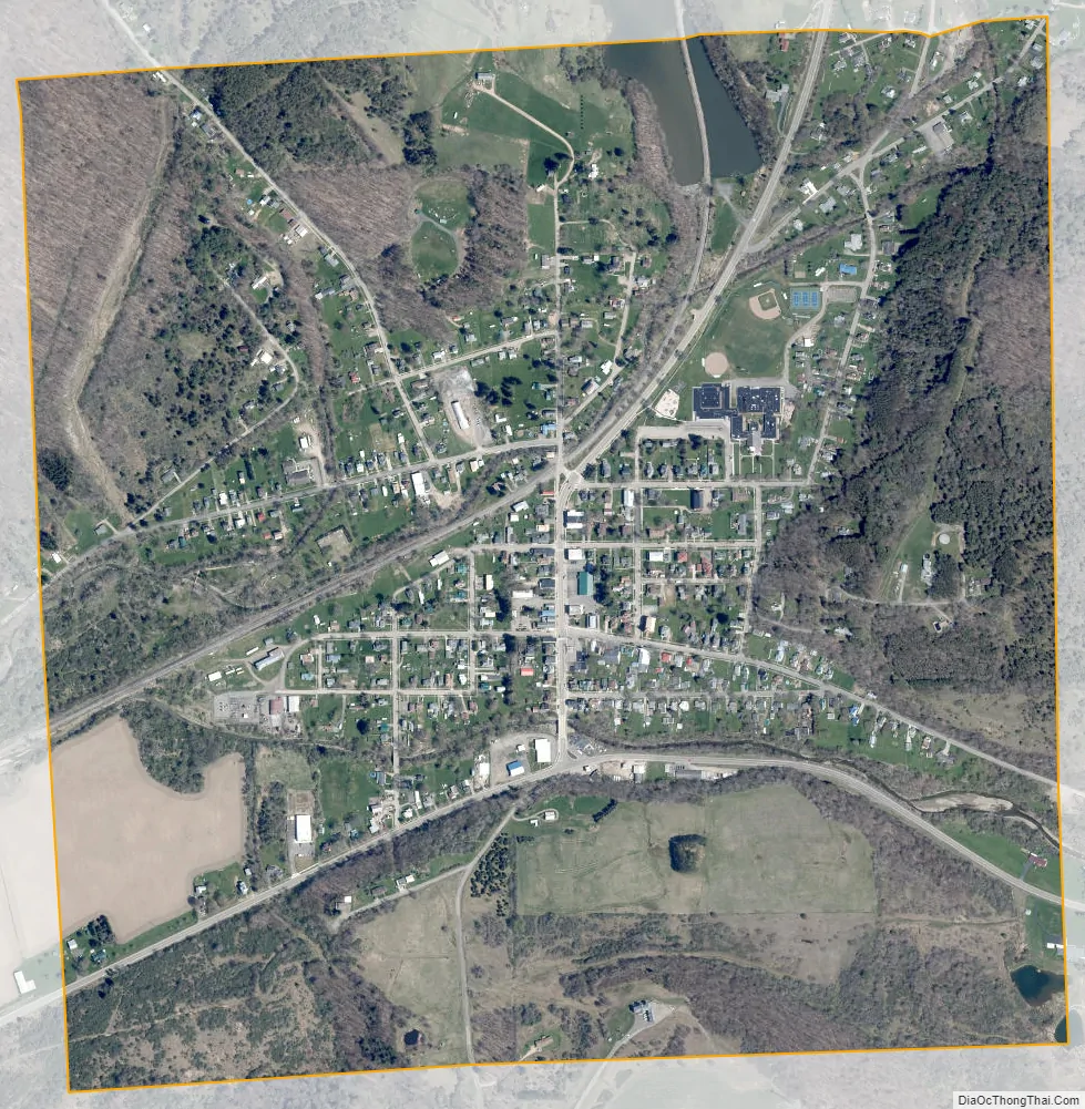
Andover city Satellite Map
Geography
Andover is located at 42°9′31″N 77°47′42″W / 42.15861°N 77.79500°W / 42.15861; -77.79500 (42.158631, -77.795181).
According to the United States Census Bureau, the village has a total area of 1.0 square mile (2.6 km), of which 0.015 square miles (0.04 km), or 1.50%, is water.
Dyke Creek, named after an early settler, flows through the village.
Andover is at the junction of New York State Route 21 (Main Street) and New York State Route 417.
Andover Pond is located in the northern part of the village.
See also
Map of New York State and its subdivision:- Albany
- Allegany
- Bronx
- Broome
- Cattaraugus
- Cayuga
- Chautauqua
- Chemung
- Chenango
- Clinton
- Columbia
- Cortland
- Delaware
- Dutchess
- Erie
- Essex
- Franklin
- Fulton
- Genesee
- Greene
- Hamilton
- Herkimer
- Jefferson
- Kings
- Lake Ontario
- Lewis
- Livingston
- Madison
- Monroe
- Montgomery
- Nassau
- New York
- Niagara
- Oneida
- Onondaga
- Ontario
- Orange
- Orleans
- Oswego
- Otsego
- Putnam
- Queens
- Rensselaer
- Richmond
- Rockland
- Saint Lawrence
- Saratoga
- Schenectady
- Schoharie
- Schuyler
- Seneca
- Steuben
- Suffolk
- Sullivan
- Tioga
- Tompkins
- Ulster
- Warren
- Washington
- Wayne
- Westchester
- Wyoming
- Yates
- Alabama
- Alaska
- Arizona
- Arkansas
- California
- Colorado
- Connecticut
- Delaware
- District of Columbia
- Florida
- Georgia
- Hawaii
- Idaho
- Illinois
- Indiana
- Iowa
- Kansas
- Kentucky
- Louisiana
- Maine
- Maryland
- Massachusetts
- Michigan
- Minnesota
- Mississippi
- Missouri
- Montana
- Nebraska
- Nevada
- New Hampshire
- New Jersey
- New Mexico
- New York
- North Carolina
- North Dakota
- Ohio
- Oklahoma
- Oregon
- Pennsylvania
- Rhode Island
- South Carolina
- South Dakota
- Tennessee
- Texas
- Utah
- Vermont
- Virginia
- Washington
- West Virginia
- Wisconsin
- Wyoming