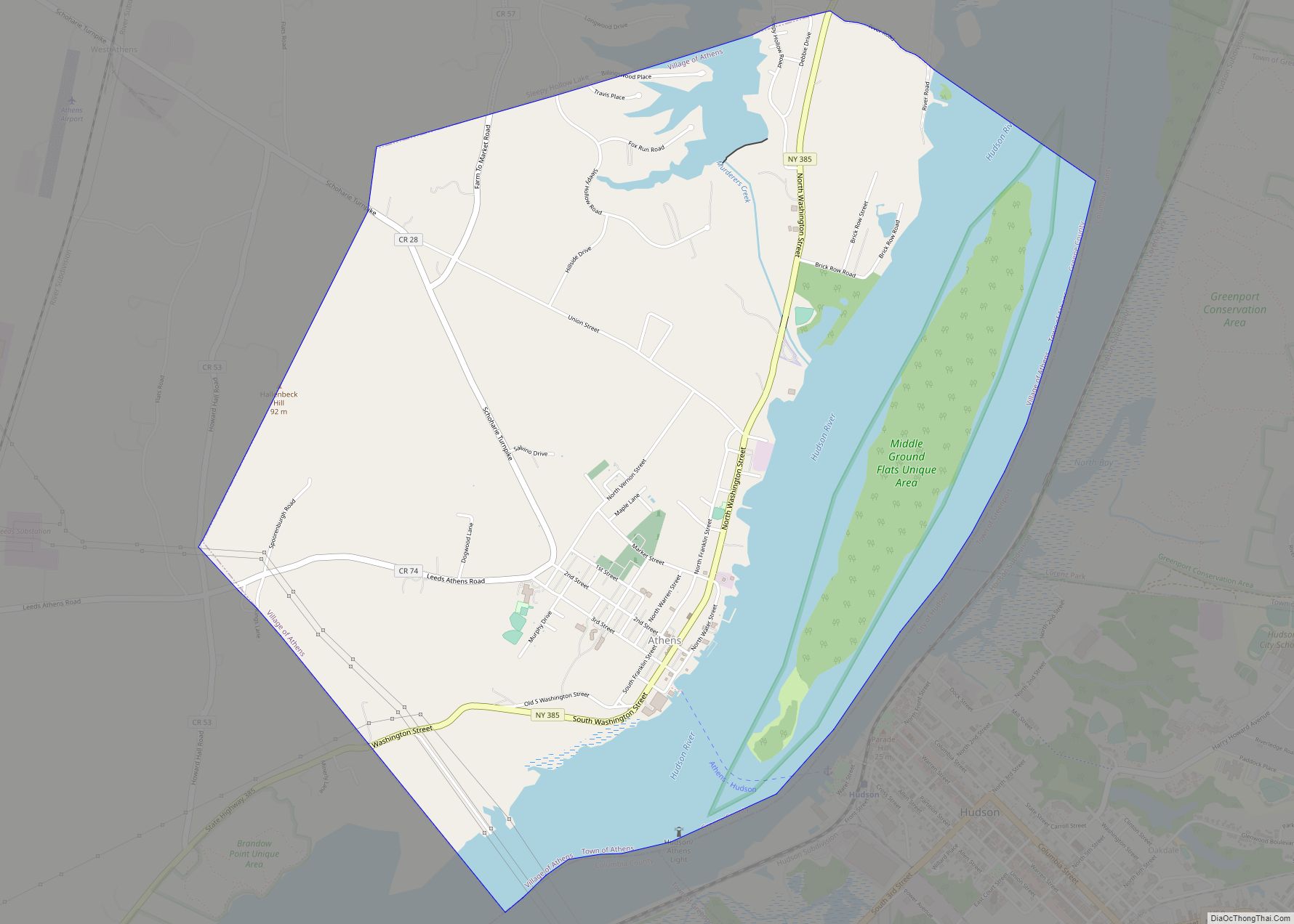
Athens is a village in Greene County, New York, United States. The population was 1,668 at the 2010 census. The village is named after the classical city of Athens. It is in the eastern part of the town of Athens, across the Hudson River from the city of Hudson.
| Name: | Athens village |
|---|---|
| LSAD Code: | 47 |
| LSAD Description: | village (suffix) |
| State: | New York |
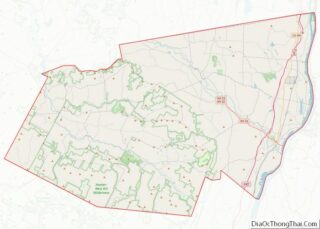
| County: | Greene County |
| Elevation: | 26 ft (8 m) |
| Total Area: | 4.61 sq mi (11.93 km²) |
| Land Area: | 3.42 sq mi (8.86 km²) |
| Water Area: | 1.19 sq mi (3.07 km²) |
| Total Population: | 1,586 |
| Population Density: | 463.74/sq mi (179.07/km²) |
| ZIP code: | 12015 |
| Area code: | 518 |
| FIPS code: | 3602902 |
| GNISfeature ID: | 0942663 |
| Website: | www.visithistoricathens.com |
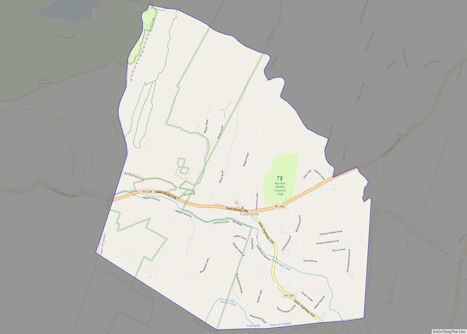
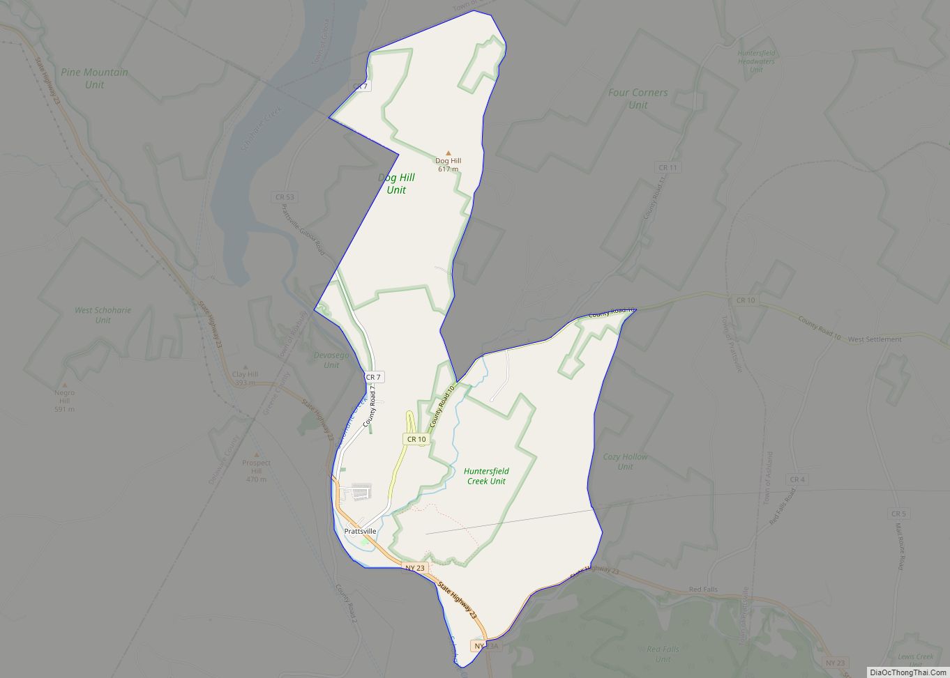
Online Interactive Map
Click on ![]() to view map in "full screen" mode.
to view map in "full screen" mode.
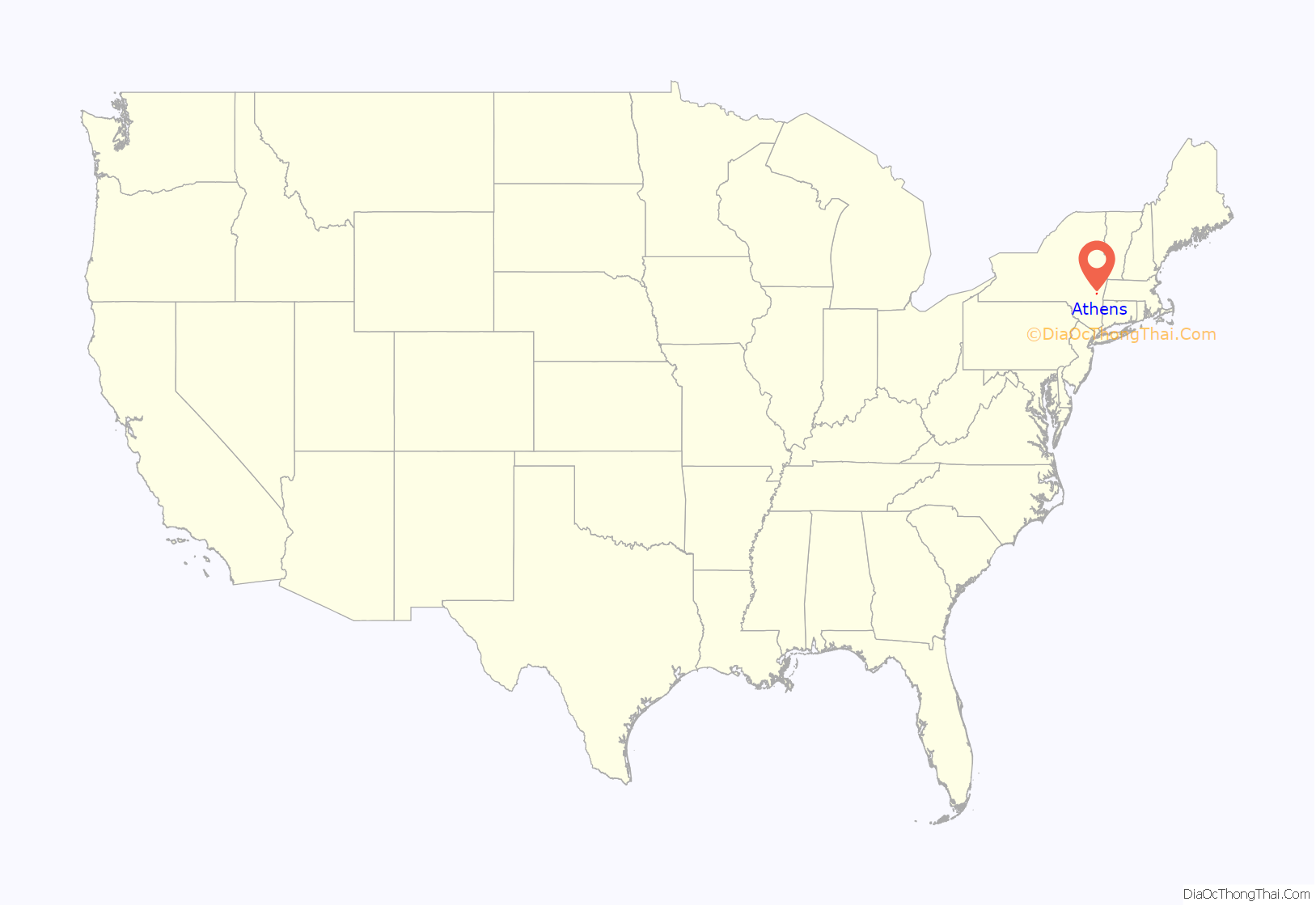
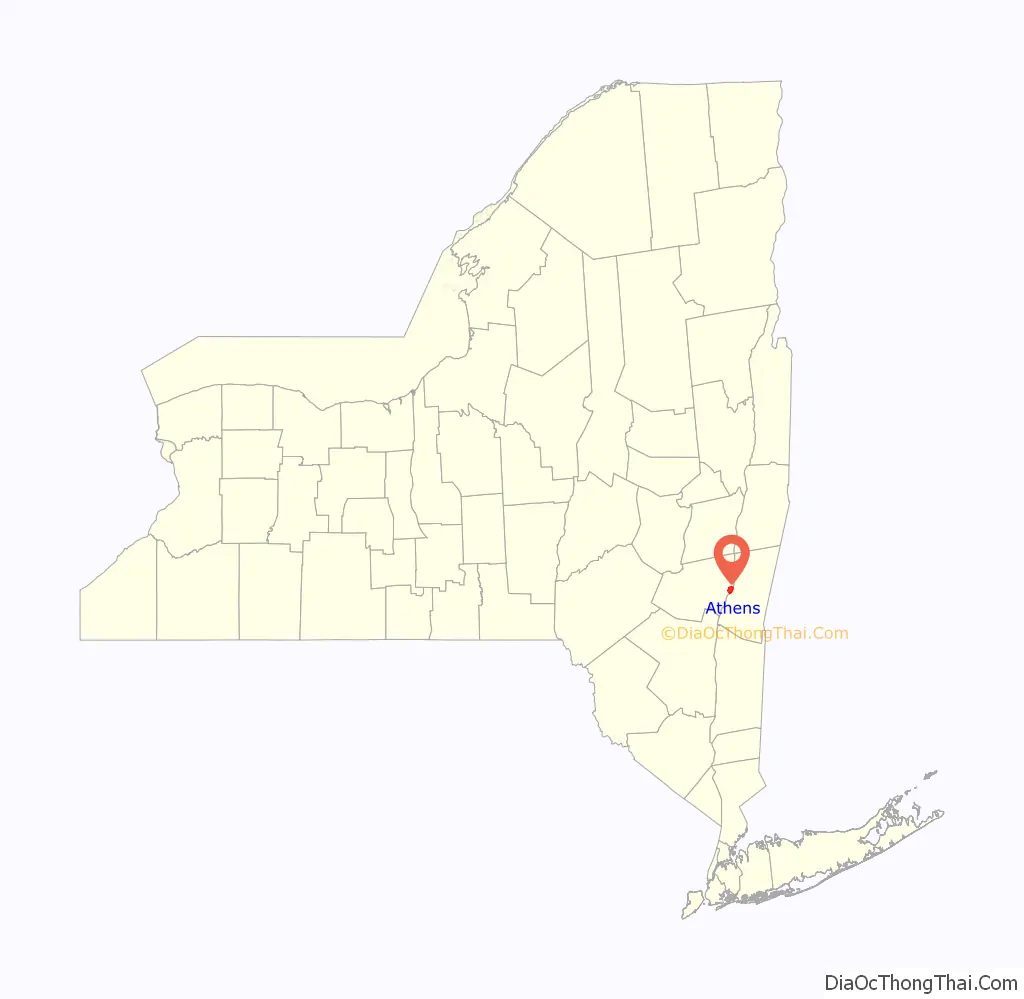
Athens location map. Where is Athens village?
History
The history of the village and historic sites worth preservation are detailed in a New York State study, “Village of Athens Multiple Resource Area”.
Historic sites in Athens listed on the National Register of Historic Places in or near the village include:
- Athens Lower Village Historic District, roughly bounded by Hudson River, NY 385, Vernon and Market Sts.
- Jan Van Loon House, built in 1706
- Brick Row Historic District, Off NY 385
- Hudson–Athens Lighthouse, S of Middle Ground Flats in Hudson River
- Stranahan-DelVecchio House, N. Washington St.
- Albertus Van Loon House, N. Washington St.
- West Athens Hill Site, Address Restricted, Athens
- Zion Lutheran Church, N. Washington St.
The land was purchased from the native Mohican people in 1665. The area was once called “Loonenburgh” (alternately, “Lunenburgh”). In the late 18th century, a planned community called “Esperanza” was envisioned by French émigrés north of the current village, but financial troubles doomed the project. The village of Athens began developing at the turn of the 19th century and was incorporated in 1805.
In the late 1830s, Athens had a horse-powered ferry, or “team boat” built for crossing the Hudson. “This was a single hull vessel of the treadmill type requiring six horses for power. The treadmills, on either side, were each trod by three horses always facing in the same direction. To reverse the paddlewheels it was only necessary to stop the horses a minute, and withdraw a drop pin that would reverse the gearing.”
The 1935 completion of the Rip Van Winkle Bridge several miles to the south put an end to the local ferry service across the Hudson, until the summer of 2012 when weekend ferry service resumed. However, the ferry is portrayed in the 2005 film War of the Worlds, when Martian tripods attack the town, the ferry, and refugees from New York City attempting to flee across the Hudson.
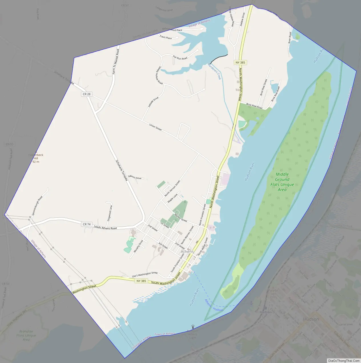
Athens Road Map
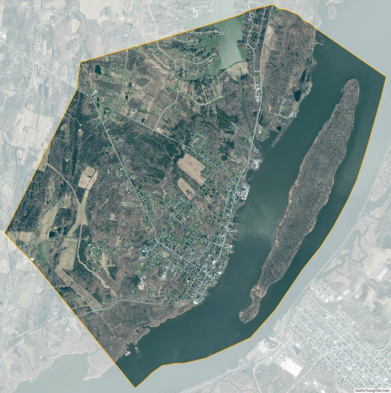
Athens city Satellite Map
Geography
Athens is located along the eastern edge of Greene County, in the eastern part of the town of Athens, at 42°16′1″N 73°48′44″W / 42.26694°N 73.81222°W / 42.26694; -73.81222 (42.267151, −73.812487). The village is situated on the west bank of the Hudson River, and the village limits extend to the center of the river, which in this location is the eastern of two channels. The village contains the portion of Murderers Creek that joins the Hudson River to Sleepy Hollow Lake. Middle Ground Flats, an uninhabited island in the Hudson, is within the village limits. The village is bordered to the east across the Hudson River by Columbia County and the city of Hudson.
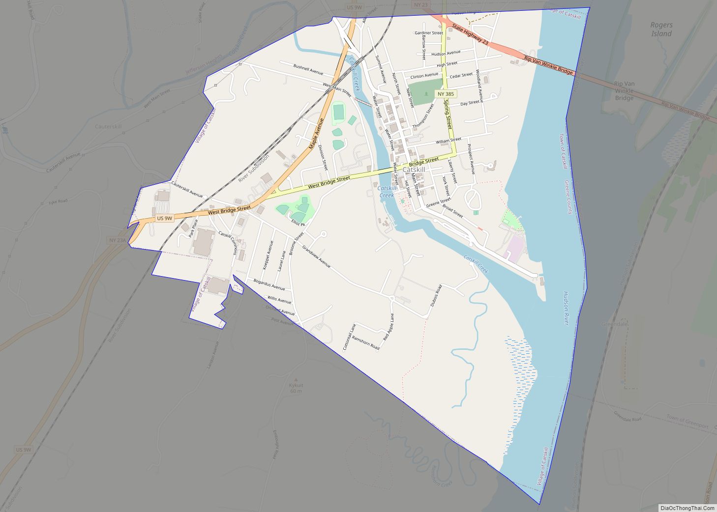
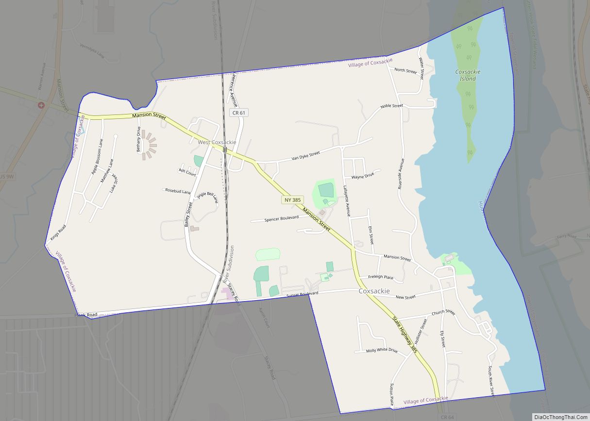
New York State Route 385 passes through the village as Washington Street, running roughly parallel to the river. The state highway leads north (upriver) 6 miles (10 km) to Coxsackie and southwest (downriver) 5 miles (8 km) to Catskill.
According to the United States Census Bureau, the village has a total area of 4.6 square miles (11.9 km), of which 3.4 square miles (8.9 km) is land and 1.2 square miles (3.1 km), or 25.73%, is water.
See also
Map of New York State and its subdivision:- Albany
- Allegany
- Bronx
- Broome
- Cattaraugus
- Cayuga
- Chautauqua
- Chemung
- Chenango
- Clinton
- Columbia
- Cortland
- Delaware
- Dutchess
- Erie
- Essex
- Franklin
- Fulton
- Genesee
- Greene
- Hamilton
- Herkimer
- Jefferson
- Kings
- Lake Ontario
- Lewis
- Livingston
- Madison
- Monroe
- Montgomery
- Nassau
- New York
- Niagara
- Oneida
- Onondaga
- Ontario
- Orange
- Orleans
- Oswego
- Otsego
- Putnam
- Queens
- Rensselaer
- Richmond
- Rockland
- Saint Lawrence
- Saratoga
- Schenectady
- Schoharie
- Schuyler
- Seneca
- Steuben
- Suffolk
- Sullivan
- Tioga
- Tompkins
- Ulster
- Warren
- Washington
- Wayne
- Westchester
- Wyoming
- Yates
- Alabama
- Alaska
- Arizona
- Arkansas
- California
- Colorado
- Connecticut
- Delaware
- District of Columbia
- Florida
- Georgia
- Hawaii
- Idaho
- Illinois
- Indiana
- Iowa
- Kansas
- Kentucky
- Louisiana
- Maine
- Maryland
- Massachusetts
- Michigan
- Minnesota
- Mississippi
- Missouri
- Montana
- Nebraska
- Nevada
- New Hampshire
- New Jersey
- New Mexico
- New York
- North Carolina
- North Dakota
- Ohio
- Oklahoma
- Oregon
- Pennsylvania
- Rhode Island
- South Carolina
- South Dakota
- Tennessee
- Texas
- Utah
- Vermont
- Virginia
- Washington
- West Virginia
- Wisconsin
- Wyoming