Barnum Island is a hamlet and census-designated place (CDP) in Nassau County, New York, United States. The population was 2,590 at the 2020 census. It occupies the eastern portion of an island situated between Long Island and Long Beach. That island, previously known in its entirety as Hog Island, consists entirely of the communities of Barnum Island, Island Park, and Harbor Island.
Barnum Island is an unincorporated area of the Town of Hempstead. Most of Barnum Island is separated from the Village of Island Park by the LIRR’s Long Beach Branch rail line to Long Beach.
Barnum Island has its own fire district and school district, but is under contract with the Village of Island Park for fire and education services for its residents. Barnum Island is included in the Island Park School District and ZIP code (11558).
The E.F. Barrett Power Station is located within the hamlet.
| Name: | Barnum Island CDP |
|---|---|
| LSAD Code: | 57 |
| LSAD Description: | CDP (suffix) |
| State: | New York |
| County: | Nassau County |
| Elevation: | 0 ft (0 m) |
| Total Area: | 1.24 sq mi (3.21 km²) |
| Land Area: | 0.86 sq mi (2.24 km²) |
| Water Area: | 0.37 sq mi (0.97 km²) |
| Total Population: | 2,590 |
| Population Density: | 2,994.22/sq mi (1,155.44/km²) |
| ZIP code: | 11558 |
| Area code: | 516 |
| FIPS code: | 3604550 |
| GNISfeature ID: | 1867393 |
Online Interactive Map
Click on ![]() to view map in "full screen" mode.
to view map in "full screen" mode.
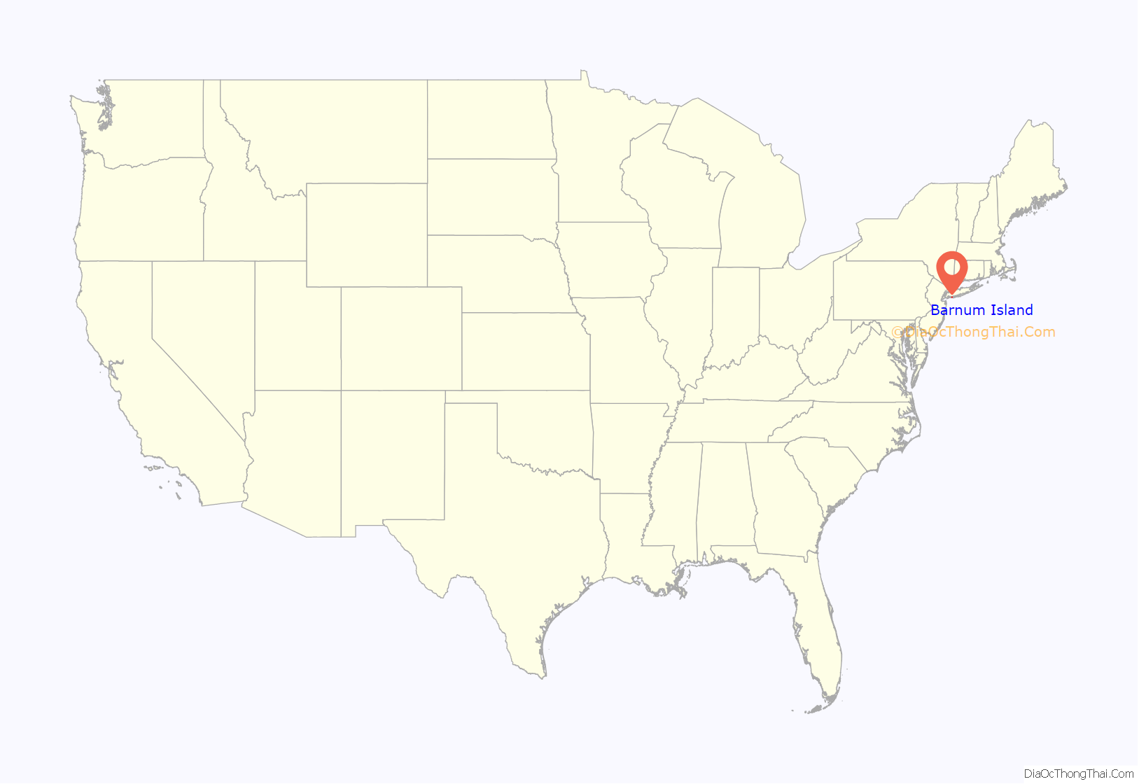
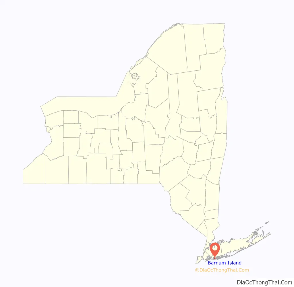
Barnum Island location map. Where is Barnum Island CDP?
History
Previously called Hog Island, after the feral pigs introduced by early European explorers to the Native Americans, it was later renamed for Sarah Ann Baldwin Barnum. It was also sometimes called Jekyl Island, after the name of the development company that bought it from the county.
Between 1851 and 1870, Sarah Ann’s husband Peter owned large parcels of land on Long Island, though his primary business was a Manhattan clothier. Sarah Ann arranged the purchase of Hog Island for use as a “poor farm” – a self-supporting almshouse, a social innovation for that period, and the island was renamed in her honor.
Local lore connects the island’s name to P.T. Barnum, the circus impresario, but this is incorrect, and likely due to confusion between “PT” and “PC” (Peter C.).
The county discontinued the almshouse and sold the island to the Jekyl Island Realty Company in 1898 for $40,000. The company renamed it Jekyl Island. The island changed hands several times in 1909, Jekyl sold it to a syndicate of developers for $120,000, who in turn sold it for $650,000 in 1911. (There may have been an interim sale in 1910 as well.) Minimal development at that time included construction of several canals, before work was abandoned. One of those canals divides the Harbor Isle section from Island Park.
New developers bought the island in 1921, and started building about 10,000 properties built in the 700 acre Island Park section in the center of the island starting in 1922. It was in use as a summer resort by 1925., Island Park was incorporated as a village in 1926.
The rest of the island remains unincorporated, with the western portion known as Harbor Island, and the eastern portion retaining the name Barnum Island. However, all three make up the original Hog Island/Barnum Island, and are part of the Town of Hempstead.
The entire island was flooded with two to eight feet of water and sewage by Hurricane Sandy.
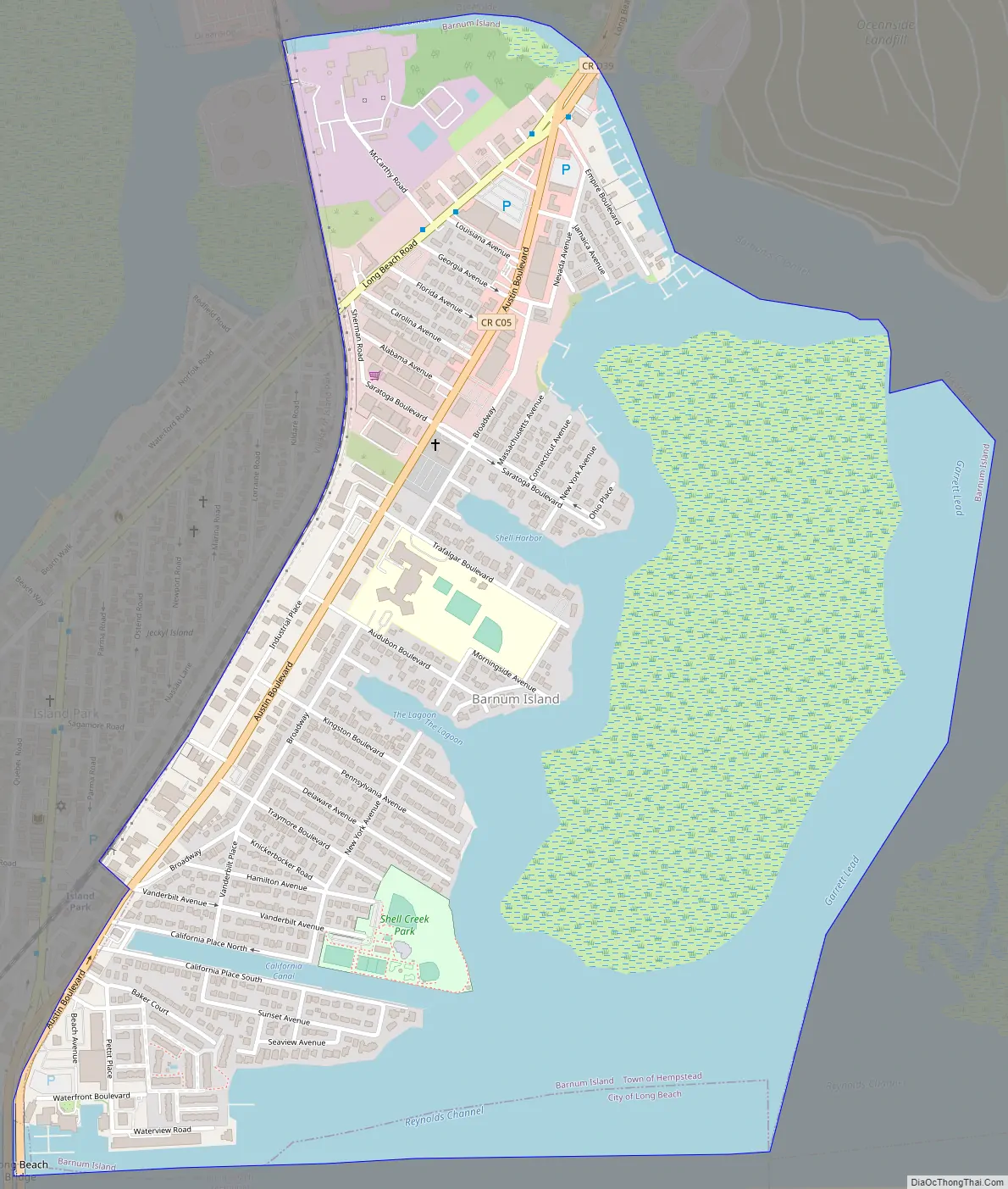
Barnum Island Road Map
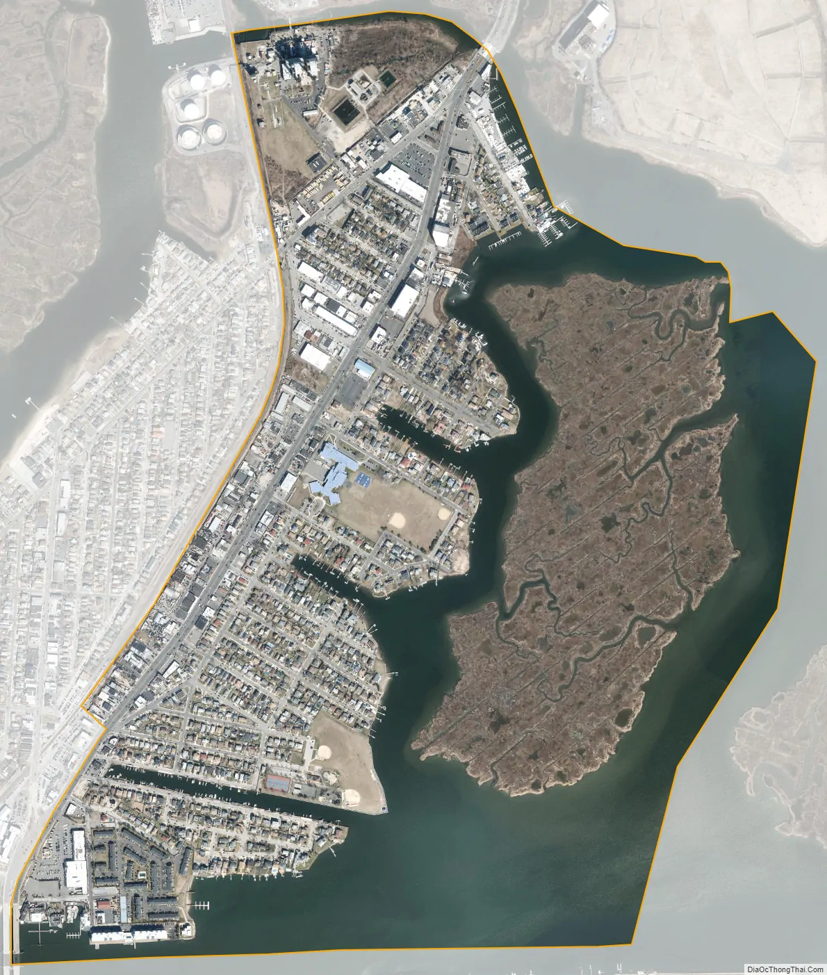
Barnum Island city Satellite Map
Geography
Barnum Island is located at 40°36′19″N 73°38′51″W / 40.60528°N 73.64750°W / 40.60528; -73.64750 (40.605203, -73.647403).
According to the United States Census Bureau, the CDP has a total area of 1.3 square miles (3.4 km), of which 0.9 square miles (2.3 km) is land and 0.4 square miles (1.0 km) (28.24%) is water.
See also
Map of New York State and its subdivision:- Albany
- Allegany
- Bronx
- Broome
- Cattaraugus
- Cayuga
- Chautauqua
- Chemung
- Chenango
- Clinton
- Columbia
- Cortland
- Delaware
- Dutchess
- Erie
- Essex
- Franklin
- Fulton
- Genesee
- Greene
- Hamilton
- Herkimer
- Jefferson
- Kings
- Lake Ontario
- Lewis
- Livingston
- Madison
- Monroe
- Montgomery
- Nassau
- New York
- Niagara
- Oneida
- Onondaga
- Ontario
- Orange
- Orleans
- Oswego
- Otsego
- Putnam
- Queens
- Rensselaer
- Richmond
- Rockland
- Saint Lawrence
- Saratoga
- Schenectady
- Schoharie
- Schuyler
- Seneca
- Steuben
- Suffolk
- Sullivan
- Tioga
- Tompkins
- Ulster
- Warren
- Washington
- Wayne
- Westchester
- Wyoming
- Yates
- Alabama
- Alaska
- Arizona
- Arkansas
- California
- Colorado
- Connecticut
- Delaware
- District of Columbia
- Florida
- Georgia
- Hawaii
- Idaho
- Illinois
- Indiana
- Iowa
- Kansas
- Kentucky
- Louisiana
- Maine
- Maryland
- Massachusetts
- Michigan
- Minnesota
- Mississippi
- Missouri
- Montana
- Nebraska
- Nevada
- New Hampshire
- New Jersey
- New Mexico
- New York
- North Carolina
- North Dakota
- Ohio
- Oklahoma
- Oregon
- Pennsylvania
- Rhode Island
- South Carolina
- South Dakota
- Tennessee
- Texas
- Utah
- Vermont
- Virginia
- Washington
- West Virginia
- Wisconsin
- Wyoming


