Belmont is a village within the town of Amity in Allegany County, New York, United States. Belmont is the county seat of Allegany County. The population was 969 at the 2010 census. The name means “beautiful hill”. The village is centrally located in Amity and is northeast of Olean.
| Name: | Belmont village |
|---|---|
| LSAD Code: | 47 |
| LSAD Description: | village (suffix) |
| State: | New York |
| County: | Allegany County |
| Elevation: | 1,391 ft (424 m) |
| Total Area: | 1.00 sq mi (2.58 km²) |
| Land Area: | 1.00 sq mi (2.58 km²) |
| Water Area: | 0.00 sq mi (0.00 km²) |
| Total Population: | 856 |
| Population Density: | 859.44/sq mi (331.89/km²) |
| ZIP code: | 14813 |
| Area code: | 585 |
| FIPS code: | 3605815 |
| GNISfeature ID: | 0977517 |
| Website: | belmontny.org |
Online Interactive Map
Click on ![]() to view map in "full screen" mode.
to view map in "full screen" mode.
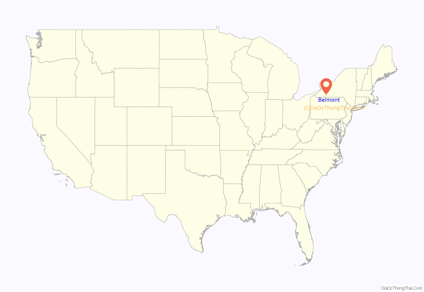
Belmont location map. Where is Belmont village?
History
The village of Belmont was incorporated in 1871 as “Philipsville”, named after early settler Philip Church. The settlement was originally called “Philipsburg”. When the village assumed the community of Miltonville on the east bank of the Genesee River, it was renamed “Belmont”.
The village became the county seat in 1859, replacing the village of Angelica.
The following are listed on the National Register of Historic Places: Belmont Grange No. 1243, Belmont Literary and Historical Society Free Library, and the Belmont Hotel.
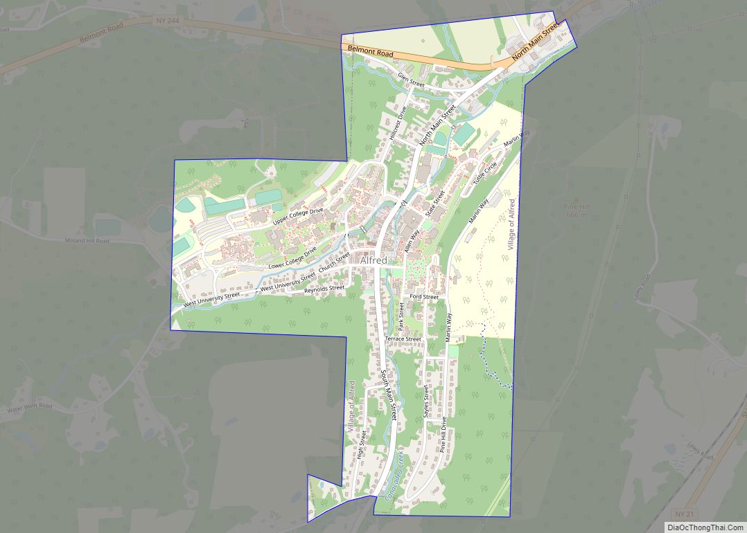
Belmont Road Map
Belmont city Satellite Map
Geography
Belmont is located at 42°14′N 78°2′W / 42.233°N 78.033°W / 42.233; -78.033 (42.2257, -78.0319).
According to the United States Census Bureau, the village has a total area of 1.0 square mile (2.6 km), all land.
The village is split by the Genesee River and is at the junctions of NY Route 19, NY Route 244 and County Road 48. Belmont is on the mainline of the Western New York and Pennsylvania Railroad.
See also
Map of New York State and its subdivision:- Albany
- Allegany
- Bronx
- Broome
- Cattaraugus
- Cayuga
- Chautauqua
- Chemung
- Chenango
- Clinton
- Columbia
- Cortland
- Delaware
- Dutchess
- Erie
- Essex
- Franklin
- Fulton
- Genesee
- Greene
- Hamilton
- Herkimer
- Jefferson
- Kings
- Lake Ontario
- Lewis
- Livingston
- Madison
- Monroe
- Montgomery
- Nassau
- New York
- Niagara
- Oneida
- Onondaga
- Ontario
- Orange
- Orleans
- Oswego
- Otsego
- Putnam
- Queens
- Rensselaer
- Richmond
- Rockland
- Saint Lawrence
- Saratoga
- Schenectady
- Schoharie
- Schuyler
- Seneca
- Steuben
- Suffolk
- Sullivan
- Tioga
- Tompkins
- Ulster
- Warren
- Washington
- Wayne
- Westchester
- Wyoming
- Yates
- Alabama
- Alaska
- Arizona
- Arkansas
- California
- Colorado
- Connecticut
- Delaware
- District of Columbia
- Florida
- Georgia
- Hawaii
- Idaho
- Illinois
- Indiana
- Iowa
- Kansas
- Kentucky
- Louisiana
- Maine
- Maryland
- Massachusetts
- Michigan
- Minnesota
- Mississippi
- Missouri
- Montana
- Nebraska
- Nevada
- New Hampshire
- New Jersey
- New Mexico
- New York
- North Carolina
- North Dakota
- Ohio
- Oklahoma
- Oregon
- Pennsylvania
- Rhode Island
- South Carolina
- South Dakota
- Tennessee
- Texas
- Utah
- Vermont
- Virginia
- Washington
- West Virginia
- Wisconsin
- Wyoming
