Big Flats is an unincorporated community and census-designated place (CDP) within the town of Big Flats in Chemung County, New York, United States. The population of the CDP was 5,277 at the 2010 census, out of a total population in the town of 7,595.
| Name: | Big Flats CDP |
|---|---|
| LSAD Code: | 57 |
| LSAD Description: | CDP (suffix) |
| State: | New York |
| County: | Chemung County |
| Elevation: | 902 ft (275 m) |
| Total Area: | 16.77 sq mi (43.42 km²) |
| Land Area: | 16.69 sq mi (43.22 km²) |
| Water Area: | 0.08 sq mi (0.20 km²) |
| Total Population: | 5,555 |
| Population Density: | 332.87/sq mi (128.52/km²) |
| ZIP code: | 14814 |
| Area code: | 607 |
| FIPS code: | 3606464 |
| GNISfeature ID: | 0943883 |
Online Interactive Map
Click on ![]() to view map in "full screen" mode.
to view map in "full screen" mode.
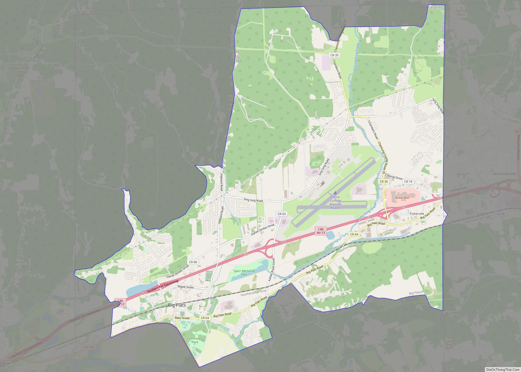
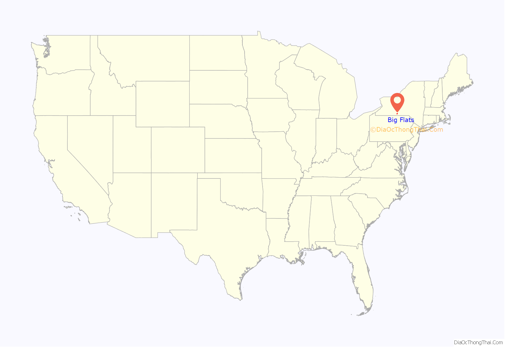
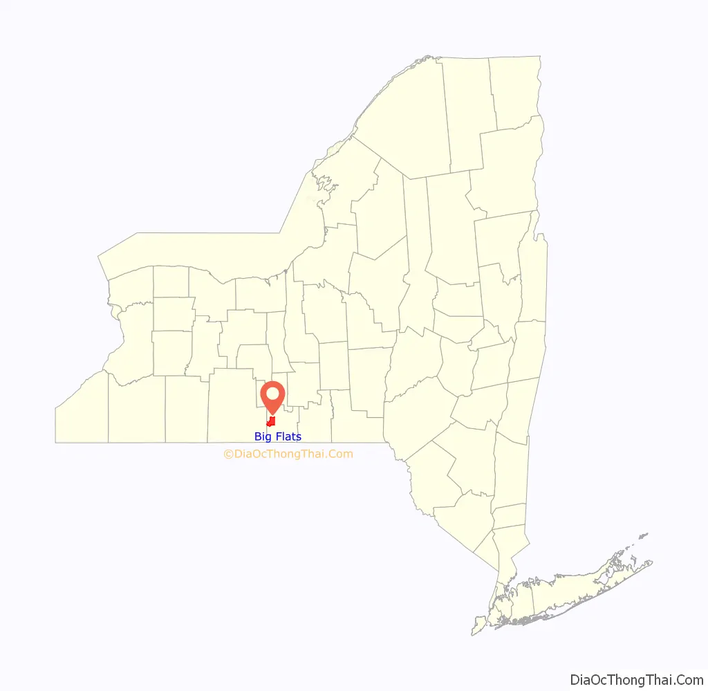
Big Flats location map. Where is Big Flats CDP?
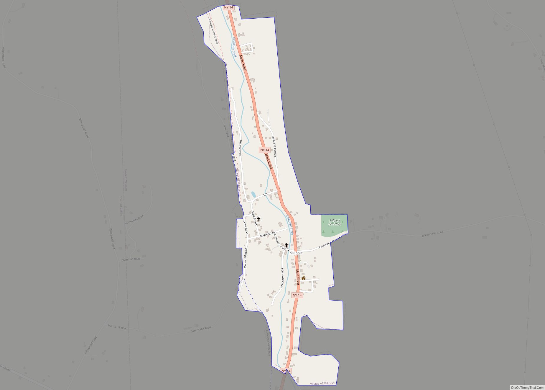
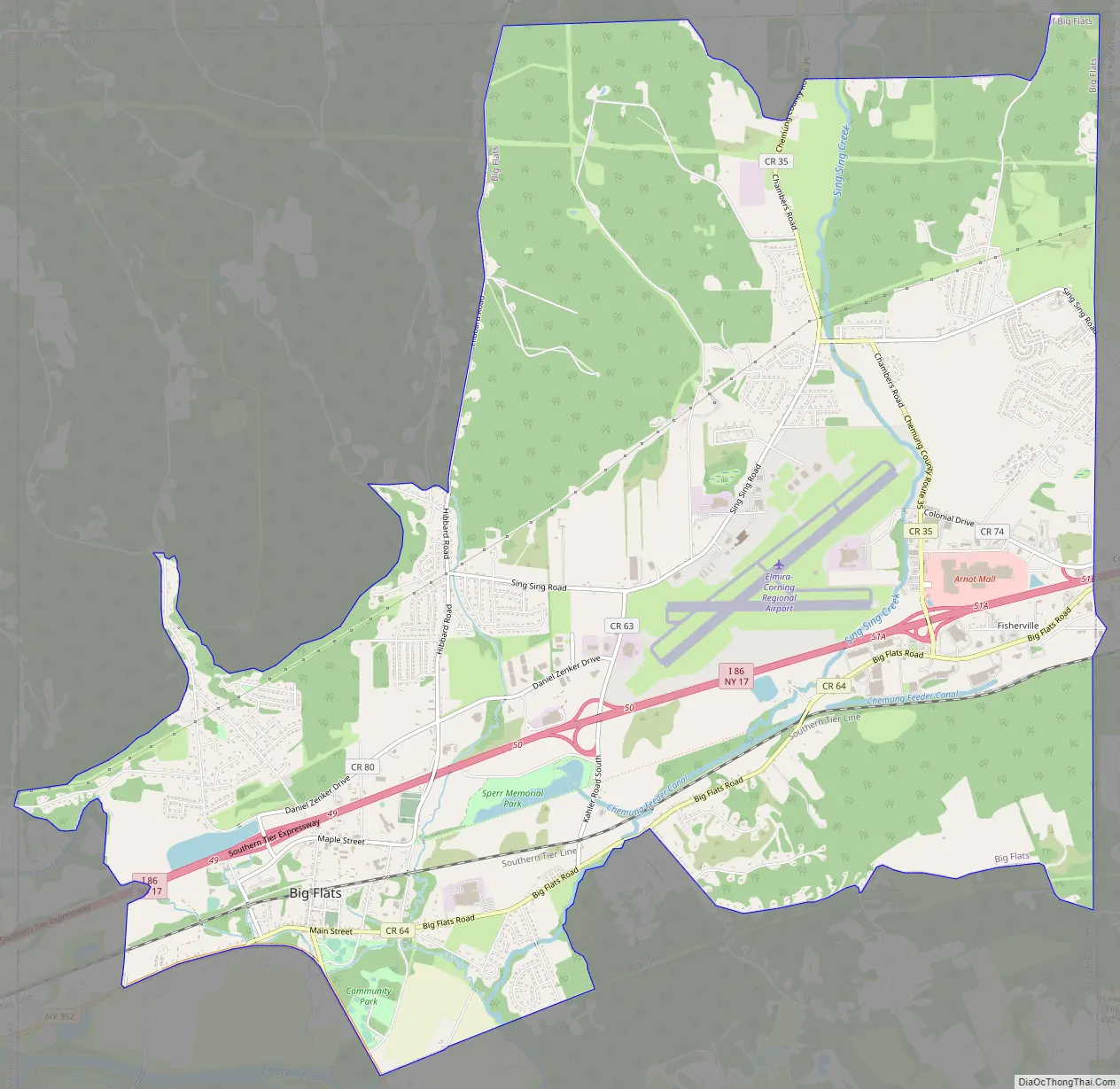
Big Flats Road Map
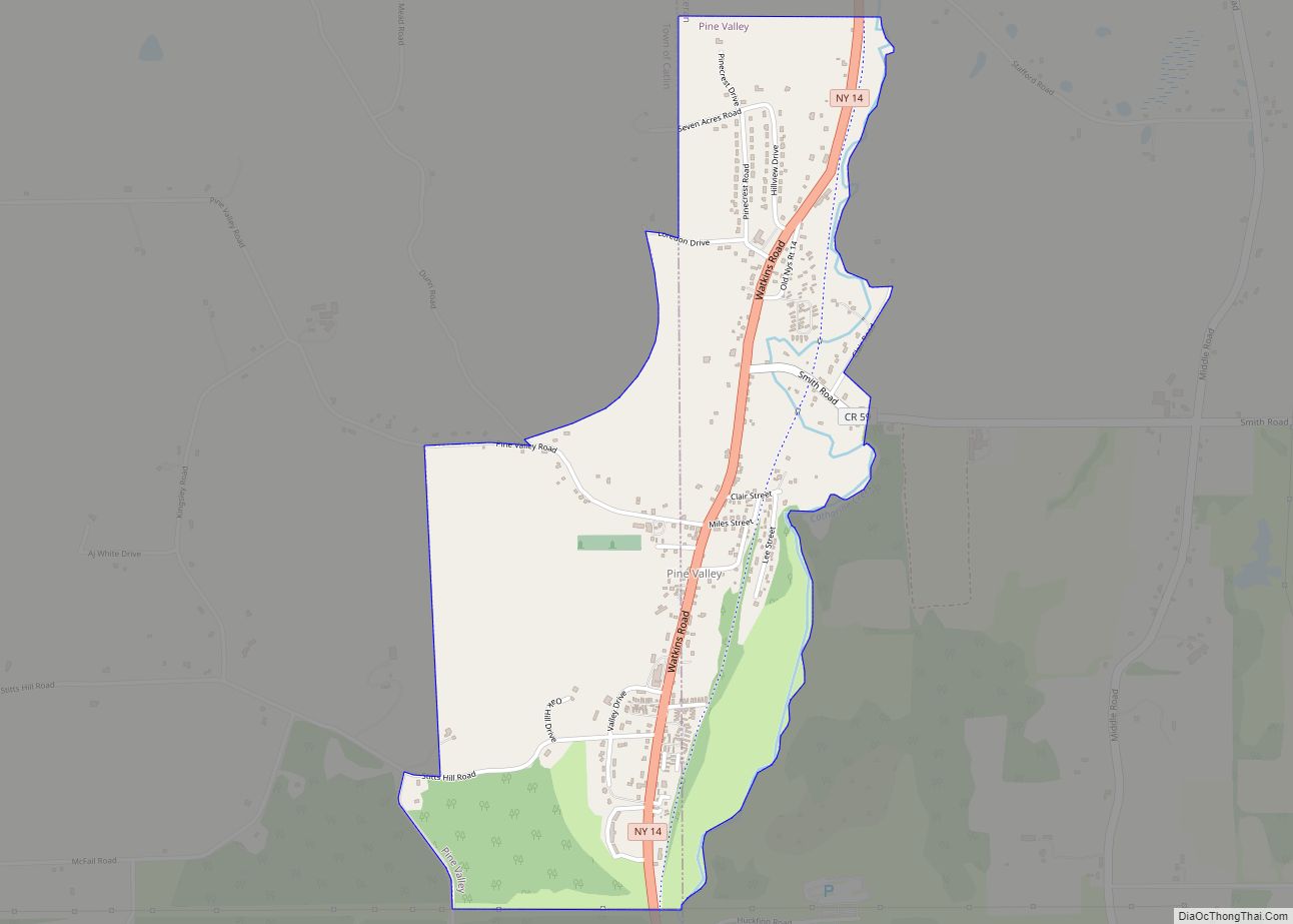
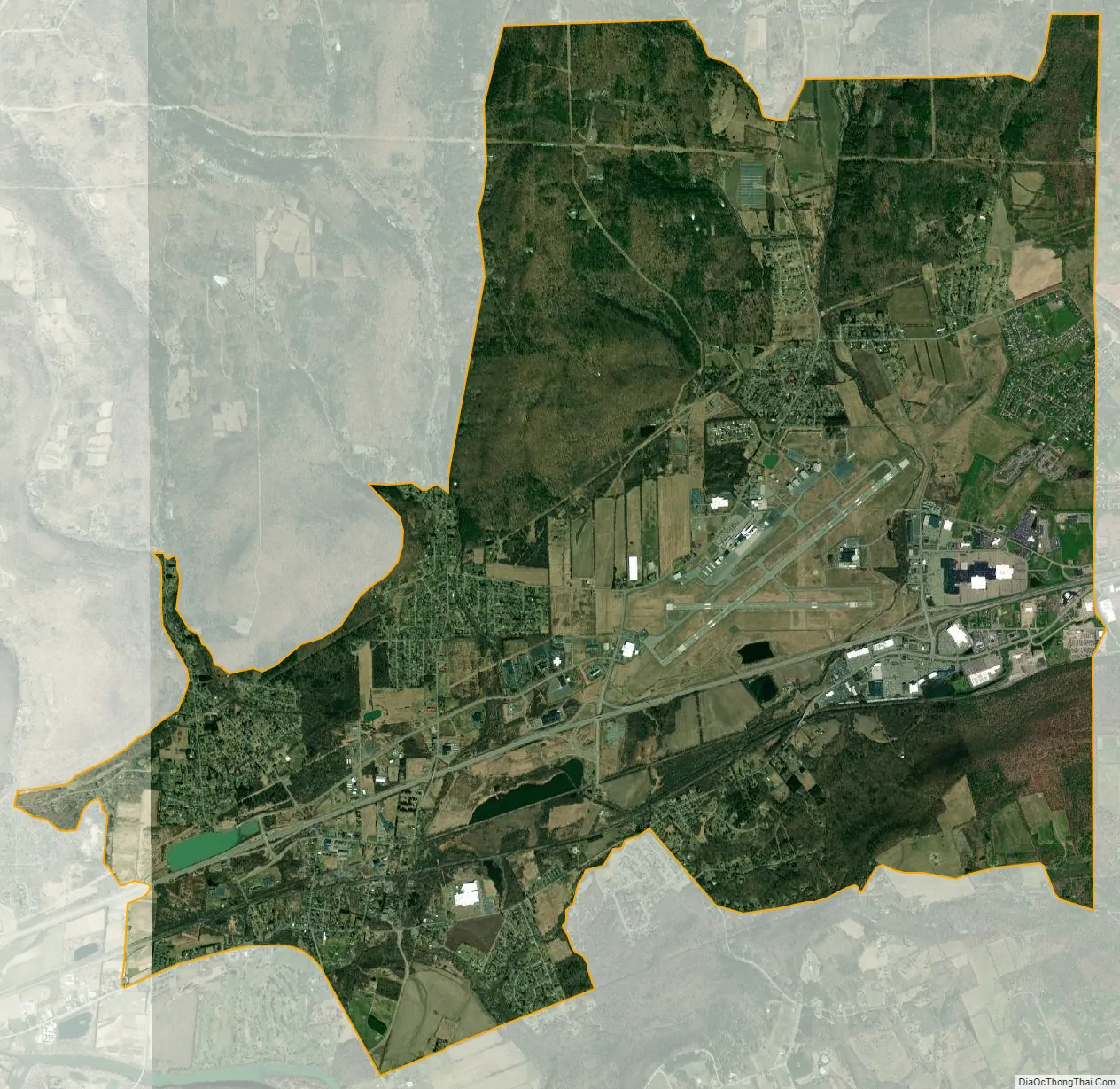
Big Flats city Satellite Map
Geography
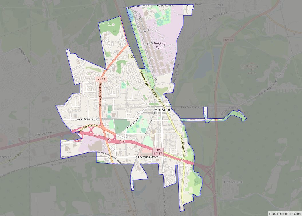
The Big Flats CDP is located at 42°08′42″N 76°55′48″W / 42.145087°N 76.929869°W / 42.145087; -76.929869 (42.145087, -76.929869) and occupies the center and northeastern portions of the town of Big Flats. The CDP includes the hamlet of Big Flats in the west-center part of the town and Fisherville near the eastern border, as well as residential subdivisions in the areas between. Elmira Corning Regional Airport is in the CDP, northwest of Fisherville, as is Arnot Mall.
The Southern Tier Expressway (Interstate 86 and New York State Route 17) crosses the CDP, with access from exits 49, 50, and 51. County Route 64 (Big Flats Road) runs roughly parallel to the expressway, connecting the centers of the hamlets of Big Flats and Fisherville.
According to the United States Census Bureau, the CDP has a total area of 16.4 square miles (42.4 km), of which 16.3 square miles (42.2 km) is land and 0.077 square miles (0.2 km), or 0.47%, is water.
See also
Map of New York State and its subdivision:- Albany
- Allegany
- Bronx
- Broome
- Cattaraugus
- Cayuga
- Chautauqua
- Chemung
- Chenango
- Clinton
- Columbia
- Cortland
- Delaware
- Dutchess
- Erie
- Essex
- Franklin
- Fulton
- Genesee
- Greene
- Hamilton
- Herkimer
- Jefferson
- Kings
- Lake Ontario
- Lewis
- Livingston
- Madison
- Monroe
- Montgomery
- Nassau
- New York
- Niagara
- Oneida
- Onondaga
- Ontario
- Orange
- Orleans
- Oswego
- Otsego
- Putnam
- Queens
- Rensselaer
- Richmond
- Rockland
- Saint Lawrence
- Saratoga
- Schenectady
- Schoharie
- Schuyler
- Seneca
- Steuben
- Suffolk
- Sullivan
- Tioga
- Tompkins
- Ulster
- Warren
- Washington
- Wayne
- Westchester
- Wyoming
- Yates
- Alabama
- Alaska
- Arizona
- Arkansas
- California
- Colorado
- Connecticut
- Delaware
- District of Columbia
- Florida
- Georgia
- Hawaii
- Idaho
- Illinois
- Indiana
- Iowa
- Kansas
- Kentucky
- Louisiana
- Maine
- Maryland
- Massachusetts
- Michigan
- Minnesota
- Mississippi
- Missouri
- Montana
- Nebraska
- Nevada
- New Hampshire
- New Jersey
- New Mexico
- New York
- North Carolina
- North Dakota
- Ohio
- Oklahoma
- Oregon
- Pennsylvania
- Rhode Island
- South Carolina
- South Dakota
- Tennessee
- Texas
- Utah
- Vermont
- Virginia
- Washington
- West Virginia
- Wisconsin
- Wyoming