Blasdell is a village in Erie County, New York, United States. The population was 2,553 according to the 2010 Census. The name is derived from Herman Blasdell, the first station master of the Erie and Pennsylvania railroad depot. It is part of the Buffalo–Niagara Falls Metropolitan Statistical Area.
Blasdell is in the northern part of the town of Hamburg and is bordered to the north by the city of Lackawanna, directly south of Buffalo. The village calls itself the “Gateway to the Southtowns” of Erie County.
| Name: | Blasdell village |
|---|---|
| LSAD Code: | 47 |
| LSAD Description: | village (suffix) |
| State: | New York |
| County: | Erie County |
| Elevation: | 610 ft (186 m) |
| Total Area: | 1.12 sq mi (2.91 km²) |
| Land Area: | 1.12 sq mi (2.91 km²) |
| Water Area: | 0.00 sq mi (0.00 km²) |
| Total Population: | 2,539 |
| Population Density: | 2,258.90/sq mi (872.47/km²) |
| ZIP code: | 14219 |
| Area code: | 716 |
| FIPS code: | 3606849 |
| GNISfeature ID: | 0944230 |
| Website: | www.blasdell.org |
Online Interactive Map
Click on ![]() to view map in "full screen" mode.
to view map in "full screen" mode.
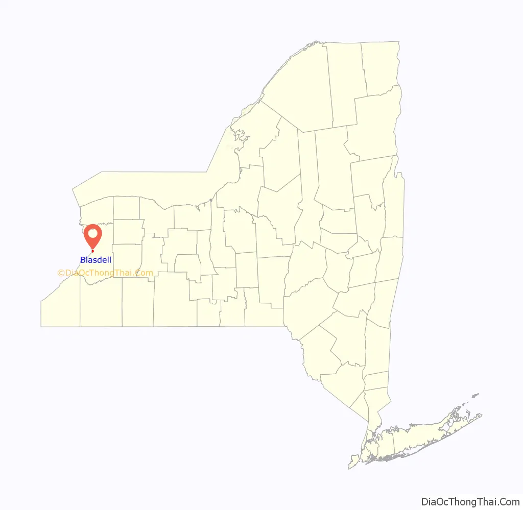
Blasdell location map. Where is Blasdell village?

History
The community grew as a railroad town around the Erie Railroad. Blasdell was incorporated in 1898 as a village.
Wrestler Ilio DiPaolo was a longtime resident, before his death in 1995. In 1965 he opened an Italian restaurant on South Park Avenue. It is now run by his family.
Blasdell is one of two municipalities in Erie County to have a registered Conservative as its executive, the other being Newstead.
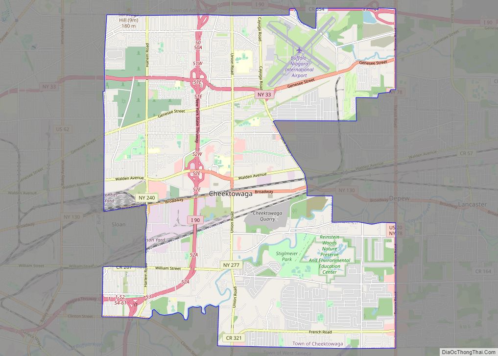
Blasdell Road Map

Blasdell city Satellite Map

Geography
Blasdell is located at 42°47′42″N 78°49′41″W / 42.79500°N 78.82806°W / 42.79500; -78.82806 (42.795108, -78.828004).
According to the United States Census Bureau, the village has a total area of 1.1 square miles (2.8 km), all land.
Adjacent cities and towns
- City of Lackawanna – north
- Town of Hamburg – south, east, west
Major highways in the Village of Blasdell
- Interstate 90 (New York State Thruway), although it does not run through the village, the thruway lies just east of it and access to it is provided by Mile Strip Road/Expressway. (NY 179).
- U.S. Route 62 (South Park Avenue), north-south roadway that runs through the village from Hamburg in the south to Lackawanna in the north.
- New York State Route 179 (Mile Strip Expressway), east- west expressway that borders the south village line. Important route for traffic between NY 5, US 62, the NYS Thruway and beyond.
See also
Map of New York State and its subdivision:- Albany
- Allegany
- Bronx
- Broome
- Cattaraugus
- Cayuga
- Chautauqua
- Chemung
- Chenango
- Clinton
- Columbia
- Cortland
- Delaware
- Dutchess
- Erie
- Essex
- Franklin
- Fulton
- Genesee
- Greene
- Hamilton
- Herkimer
- Jefferson
- Kings
- Lake Ontario
- Lewis
- Livingston
- Madison
- Monroe
- Montgomery
- Nassau
- New York
- Niagara
- Oneida
- Onondaga
- Ontario
- Orange
- Orleans
- Oswego
- Otsego
- Putnam
- Queens
- Rensselaer
- Richmond
- Rockland
- Saint Lawrence
- Saratoga
- Schenectady
- Schoharie
- Schuyler
- Seneca
- Steuben
- Suffolk
- Sullivan
- Tioga
- Tompkins
- Ulster
- Warren
- Washington
- Wayne
- Westchester
- Wyoming
- Yates
- Alabama
- Alaska
- Arizona
- Arkansas
- California
- Colorado
- Connecticut
- Delaware
- District of Columbia
- Florida
- Georgia
- Hawaii
- Idaho
- Illinois
- Indiana
- Iowa
- Kansas
- Kentucky
- Louisiana
- Maine
- Maryland
- Massachusetts
- Michigan
- Minnesota
- Mississippi
- Missouri
- Montana
- Nebraska
- Nevada
- New Hampshire
- New Jersey
- New Mexico
- New York
- North Carolina
- North Dakota
- Ohio
- Oklahoma
- Oregon
- Pennsylvania
- Rhode Island
- South Carolina
- South Dakota
- Tennessee
- Texas
- Utah
- Vermont
- Virginia
- Washington
- West Virginia
- Wisconsin
- Wyoming