Bliss is the largest hamlet and a census-designated place (CDP) in the town of Eagle, Wyoming County, New York, United States. As of the 2010 census, it had a population of 527.
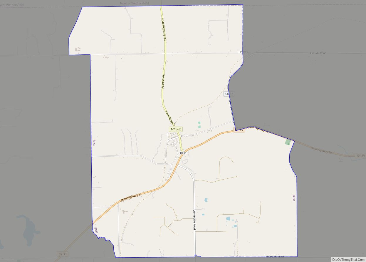
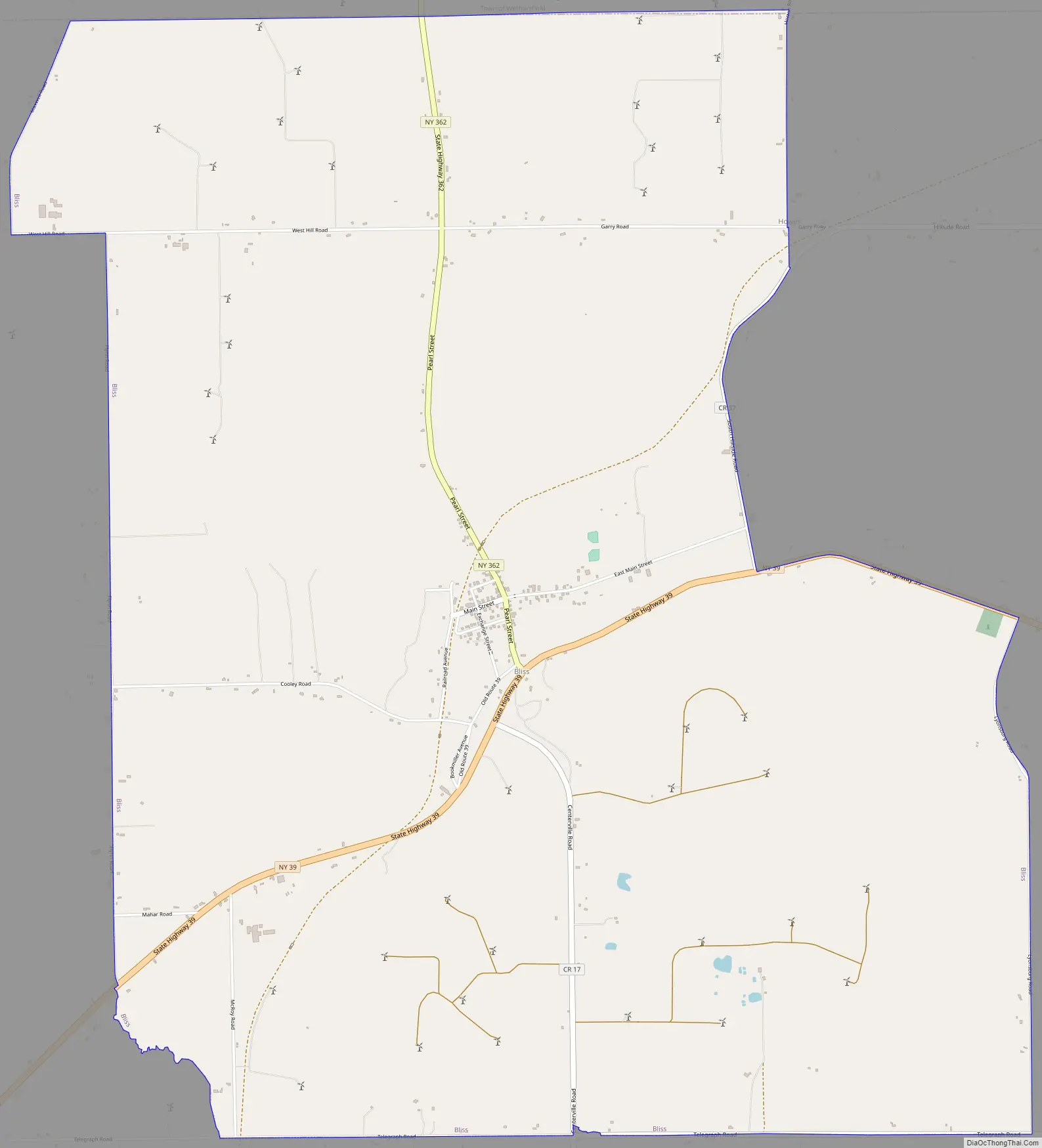
The community is in southern Wyoming County, in the north and central part of the town of Eagle. It is bordered to the north by the town of Wethersfield. Bliss is in the valley of Wiscoy Creek where it is joined by its North Branch. Wiscoy Creek flows east and south to the Genesee River, a tributary of Lake Ontario.
New York State Route 39 passes through the south side of Bliss, following the Wiscoy Creek valley. The highway leads east 6 miles (10 km) to Pike and west 10 miles (16 km) to Arcade. State Route 362 runs through the center of Bliss, starting at Route 39 on the south side and leading north 4 miles (6 km) to Route 78 in Wethersfield.
| Name: | Bliss CDP |
|---|---|
| LSAD Code: | 57 |
| LSAD Description: | CDP (suffix) |
| State: | New York |
| County: | Wyoming County |
| Elevation: | 1,715 ft (523 m) |
| Total Area: | 9.79 sq mi (25.36 km²) |
| Land Area: | 9.79 sq mi (25.36 km²) |
| Water Area: | 0.00 sq mi (0.00 km²) |
| Total Population: | 496 |
| Population Density: | 50.65/sq mi (19.56/km²) |
| ZIP code: | 14024 |
| Area code: | 585 |
| FIPS code: | 3606904 |
| GNISfeature ID: | 2627975 |
Online Interactive Map
Click on ![]() to view map in "full screen" mode.
to view map in "full screen" mode.
Bliss location map. Where is Bliss CDP?
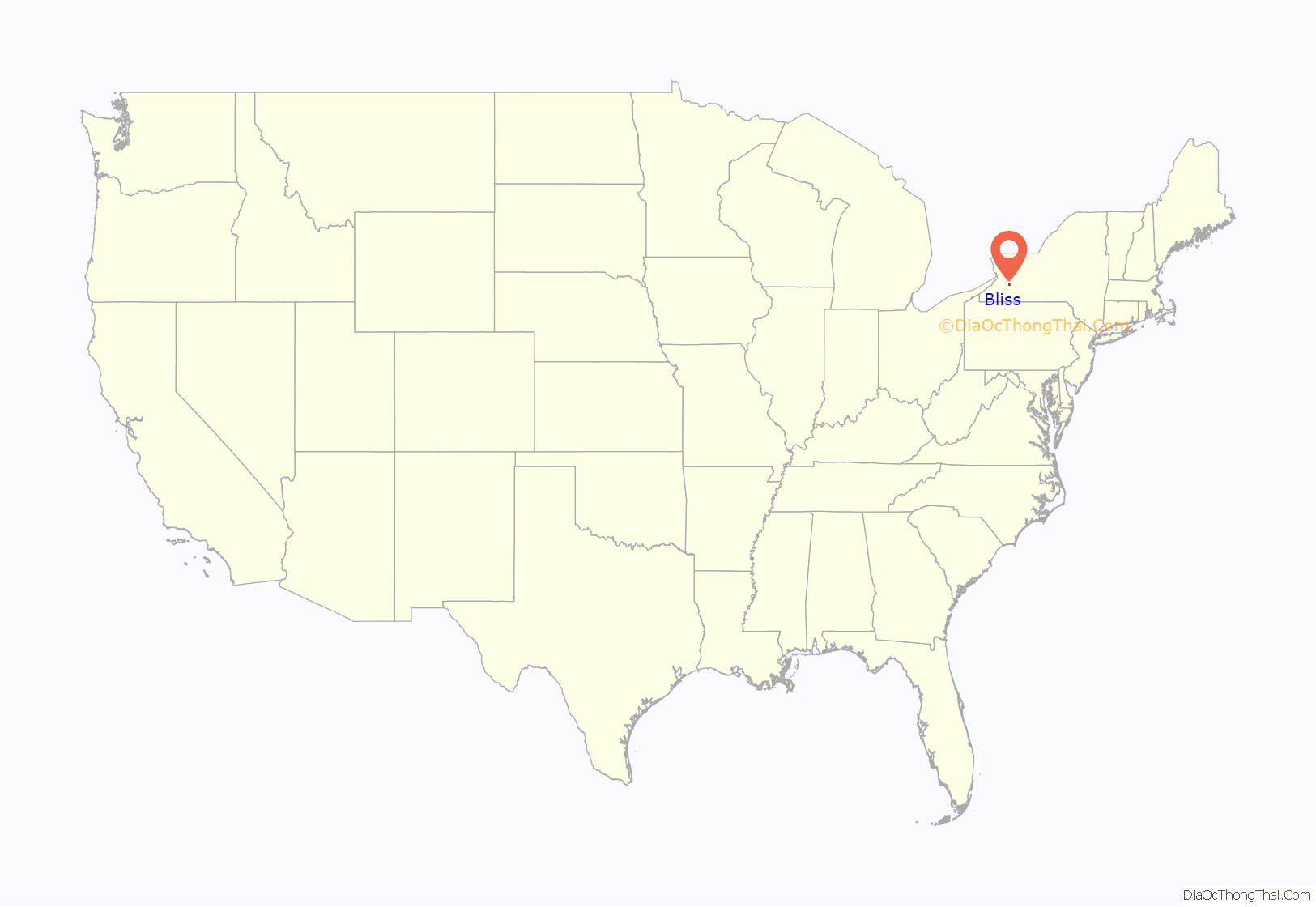
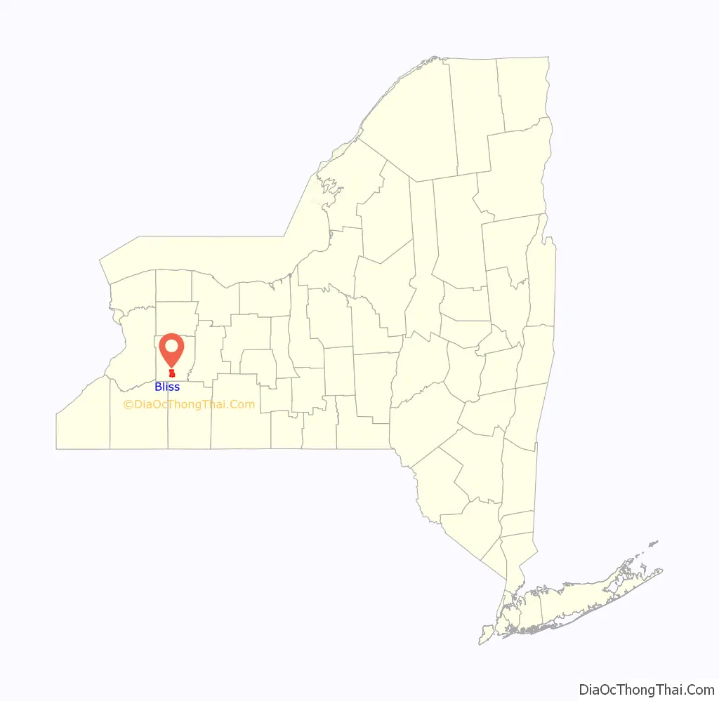
Bliss Road Map
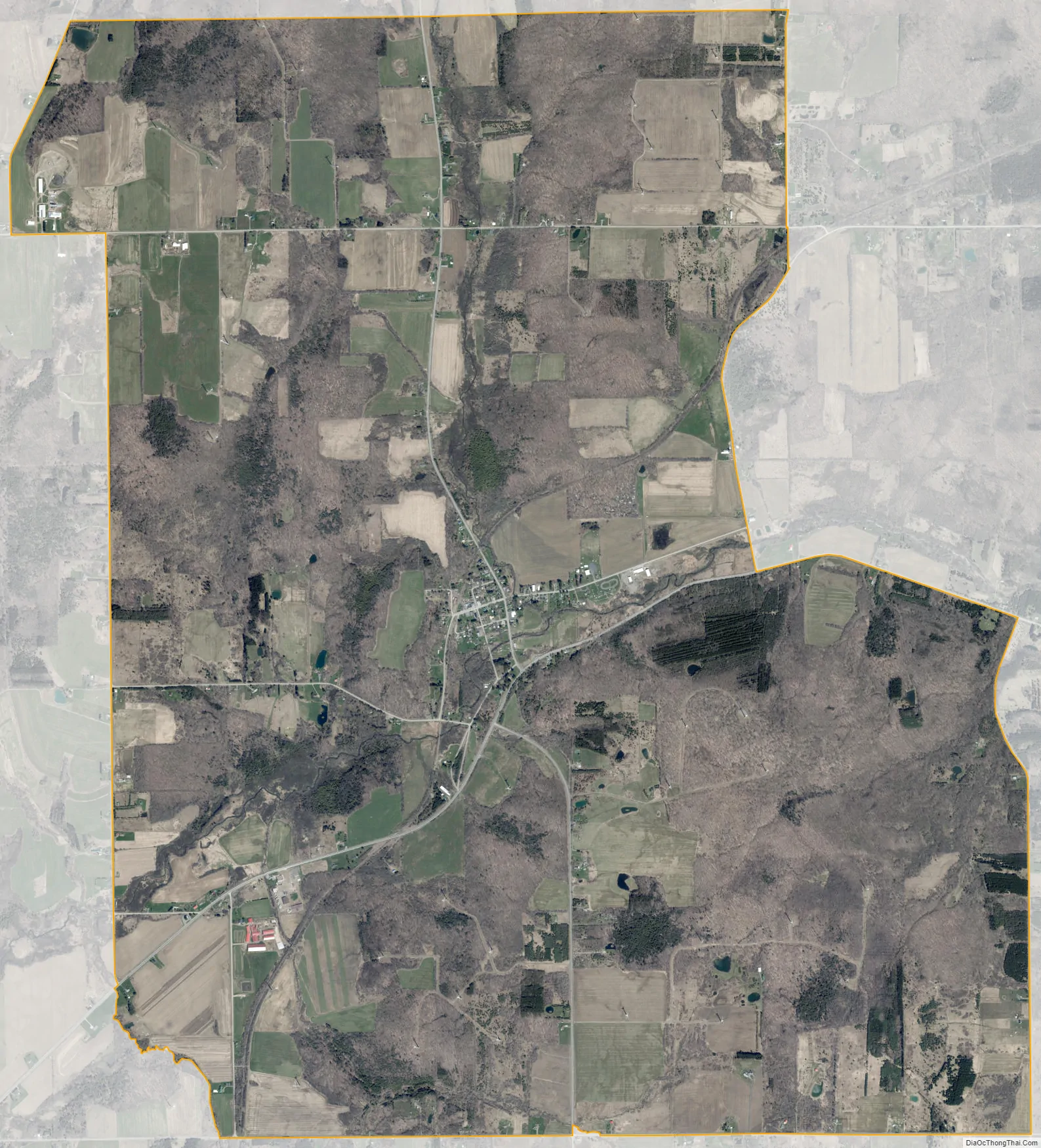
Bliss city Satellite Map
See also
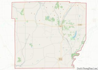
Map of New York State and its subdivision:- Albany
- Allegany
- Bronx
- Broome
- Cattaraugus
- Cayuga
- Chautauqua
- Chemung
- Chenango
- Clinton
- Columbia
- Cortland
- Delaware
- Dutchess
- Erie
- Essex
- Franklin
- Fulton
- Genesee
- Greene
- Hamilton
- Herkimer
- Jefferson
- Kings
- Lake Ontario
- Lewis
- Livingston
- Madison
- Monroe
- Montgomery
- Nassau
- New York
- Niagara
- Oneida
- Onondaga
- Ontario
- Orange
- Orleans
- Oswego
- Otsego
- Putnam
- Queens
- Rensselaer
- Richmond
- Rockland
- Saint Lawrence
- Saratoga
- Schenectady
- Schoharie
- Schuyler
- Seneca
- Steuben
- Suffolk
- Sullivan
- Tioga
- Tompkins
- Ulster
- Warren
- Washington
- Wayne
- Westchester
- Wyoming
- Yates
- Alabama
- Alaska
- Arizona
- Arkansas
- California
- Colorado
- Connecticut
- Delaware
- District of Columbia
- Florida
- Georgia
- Hawaii
- Idaho
- Illinois
- Indiana
- Iowa
- Kansas
- Kentucky
- Louisiana
- Maine
- Maryland
- Massachusetts
- Michigan
- Minnesota
- Mississippi
- Missouri
- Montana
- Nebraska
- Nevada
- New Hampshire
- New Jersey
- New Mexico
- New York
- North Carolina
- North Dakota
- Ohio
- Oklahoma
- Oregon
- Pennsylvania
- Rhode Island
- South Carolina
- South Dakota
- Tennessee
- Texas
- Utah
- Vermont
- Virginia
- Washington
- West Virginia
- Wisconsin
- Wyoming