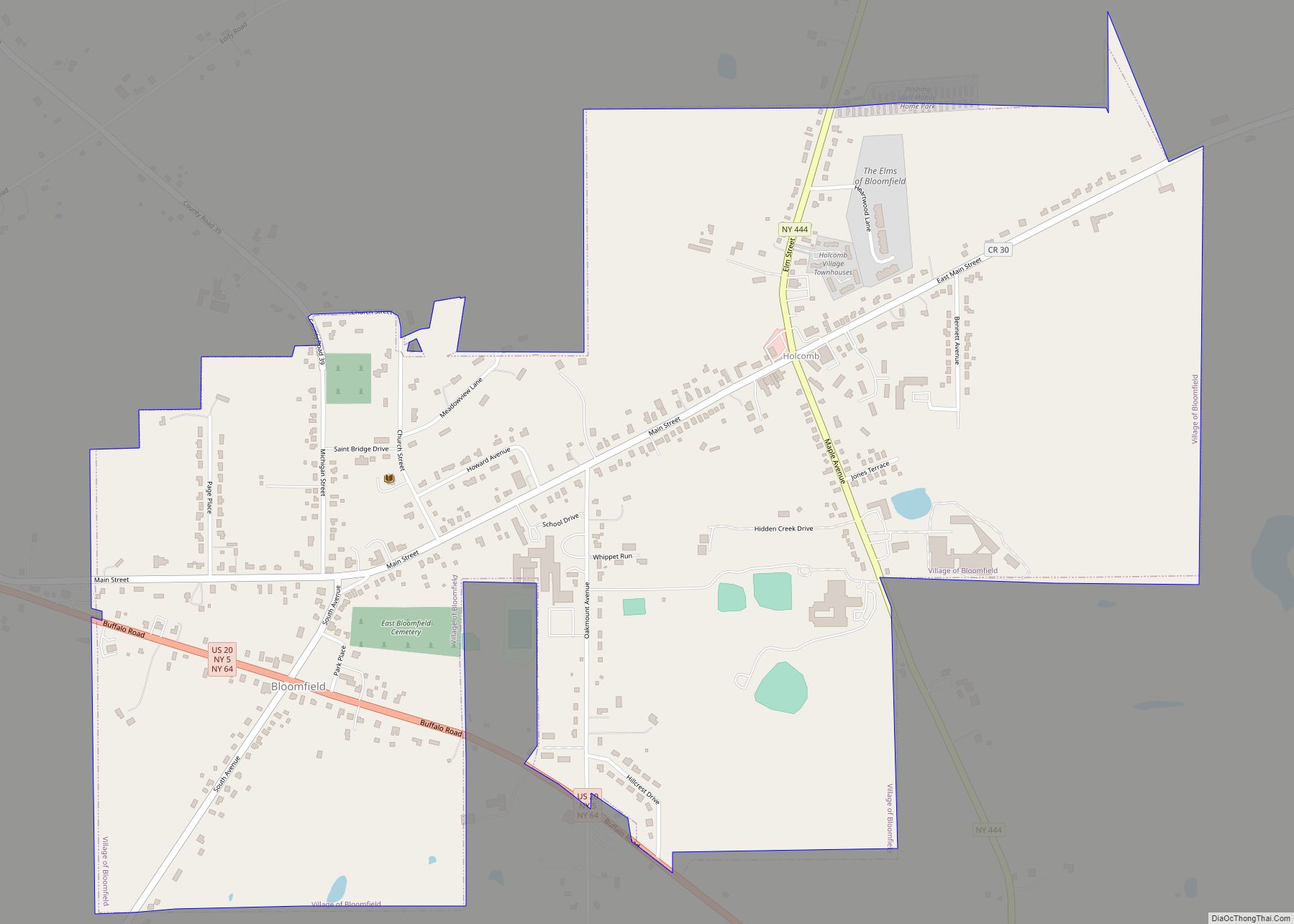
Bloomfield is a village in Ontario County, New York, United States. The population was 1,361 at the 2010 census.
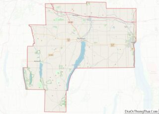
The Village of Bloomfield is in the Town of East Bloomfield and is west of Canandaigua.
| Name: | Bloomfield village |
|---|---|
| LSAD Code: | 47 |
| LSAD Description: | village (suffix) |
| State: | New York |
| County: | Ontario County |
| Elevation: | 876 ft (267 m) |
| Total Area: | 1.40 sq mi (3.61 km²) |
| Land Area: | 1.40 sq mi (3.61 km²) |
| Water Area: | 0.00 sq mi (0.00 km²) |
| Total Population: | 1,277 |
| Population Density: | 915.41/sq mi (353.41/km²) |
| ZIP code: | 14469 |
| Area code: | 585 |
| FIPS code: | 3606945 |
| GNISfeature ID: | 0979686 |
| Website: | www.bloomfieldny.org |
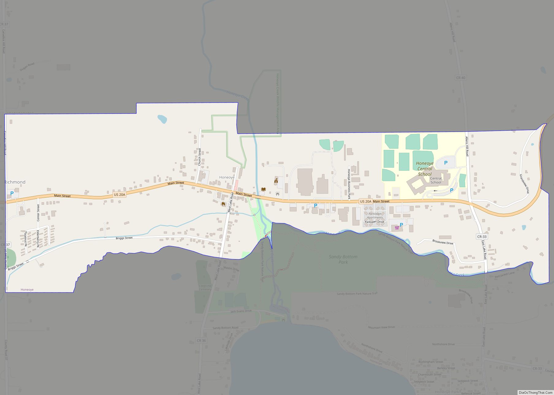
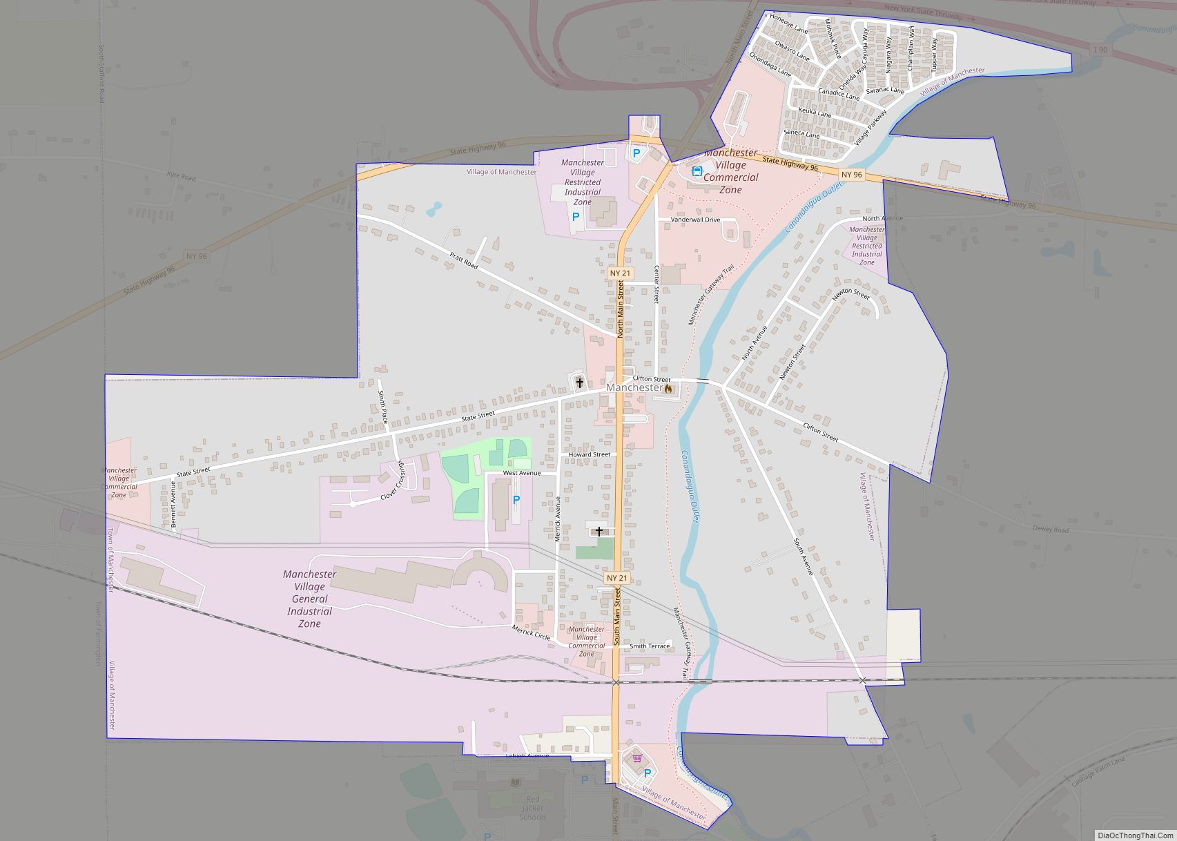
Online Interactive Map
Click on ![]() to view map in "full screen" mode.
to view map in "full screen" mode.
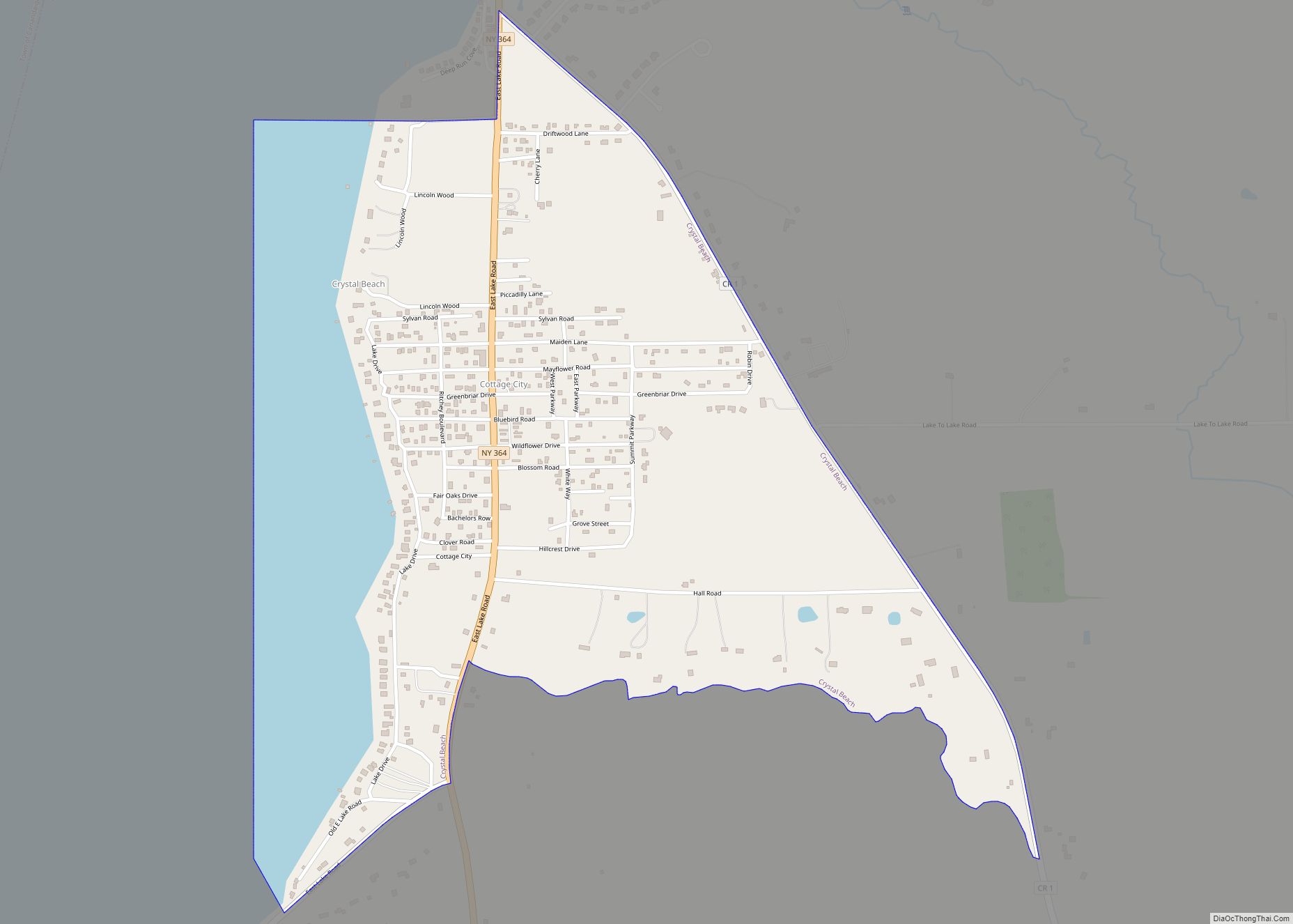
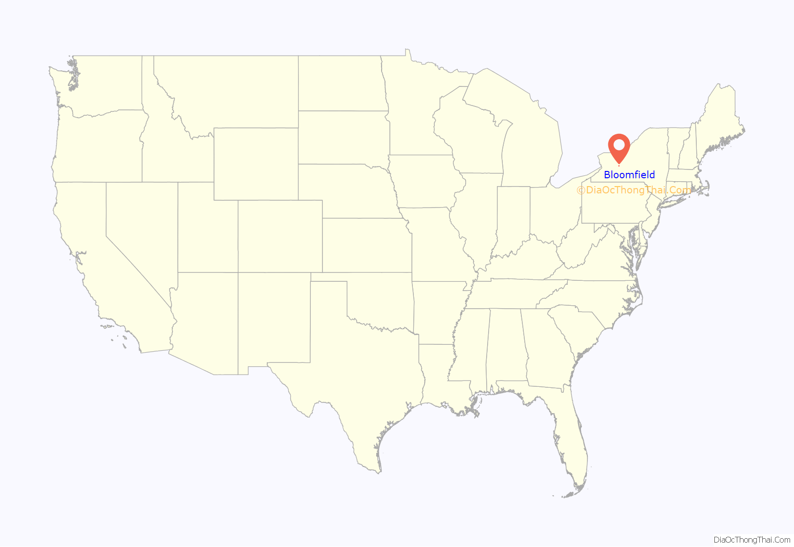
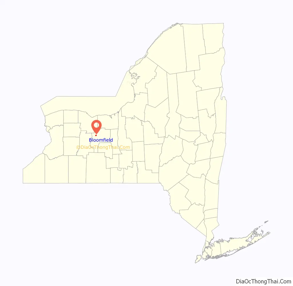
Bloomfield location map. Where is Bloomfield village?
History
The village was part of the Phelps and Gorham Purchase (1788). It was incorporated in 1990 to combine the two adjacent communities of Holcomb and East Bloomfield.
The St. Bridget’s Roman Catholic Church Complex and St. Peter’s Episcopal Church are listed on the National Register of Historic Places.
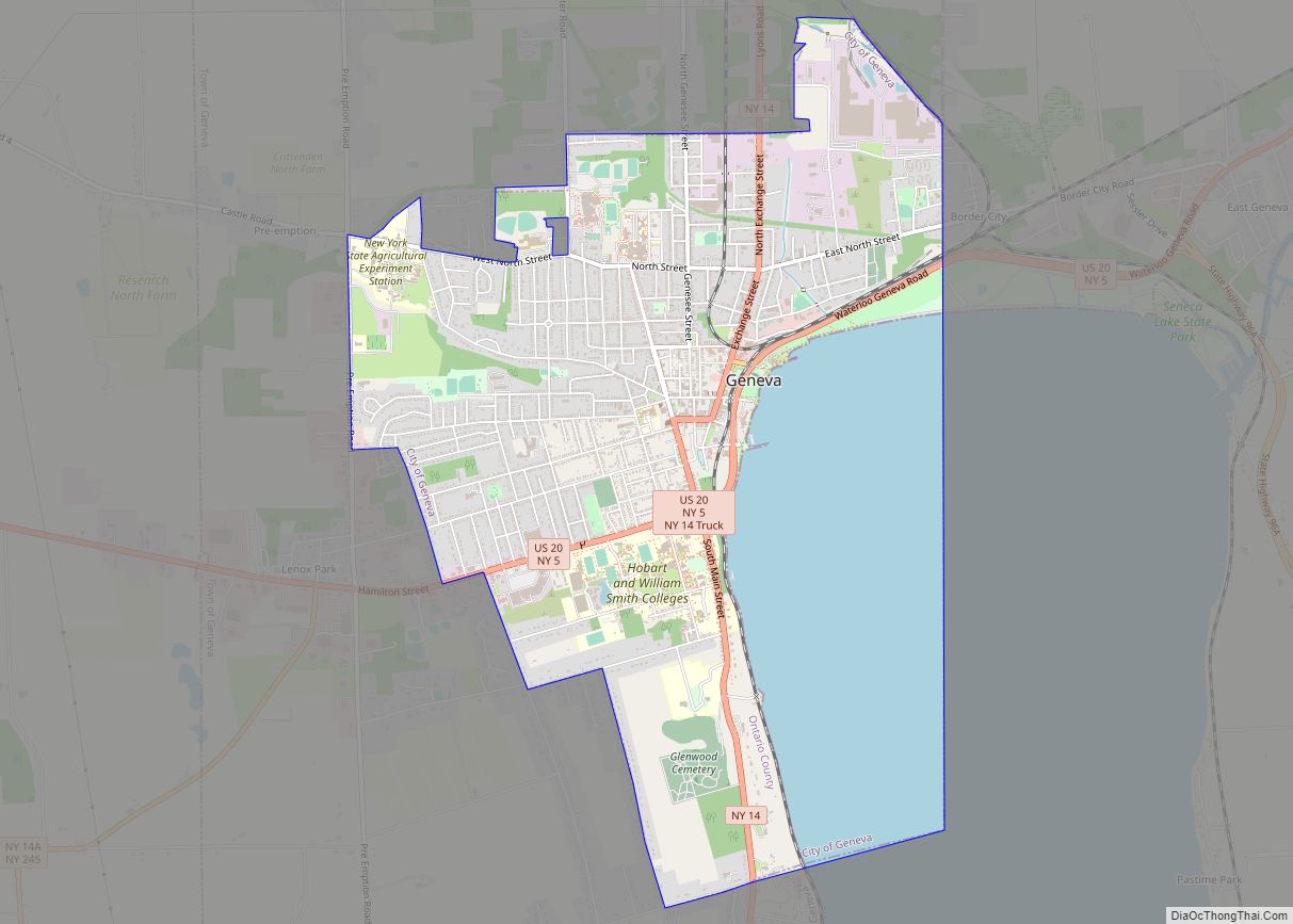
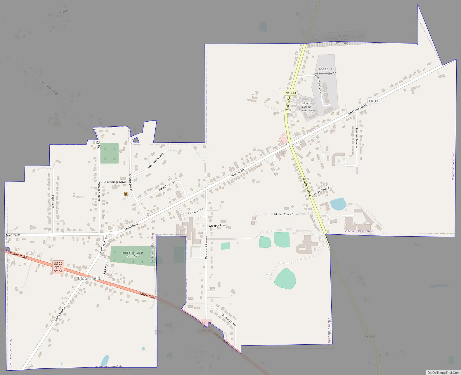
Bloomfield Road Map
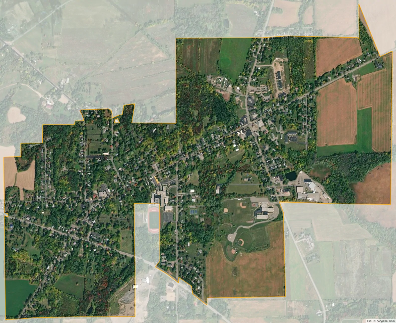
Bloomfield city Satellite Map
Geography
Bloomfield is located at 42°53′57″N 77°25′47″W / 42.89917°N 77.42972°W / 42.89917; -77.42972 (42.899218, -77.429623).
According to the United States Census Bureau, the village has a total area of 1.4 square miles (3.6 km), all land.
The village is mostly situated between New York State Route 444 and conjoined US 20/New York State Route 5. New York State Route 64 also joins US-20 west of the village.
Fish Creek flows past the north side of the village, a tributary of Ganargua Creek and connects to the north with Erie Canal.
See also
Map of New York State and its subdivision:- Albany
- Allegany
- Bronx
- Broome
- Cattaraugus
- Cayuga
- Chautauqua
- Chemung
- Chenango
- Clinton
- Columbia
- Cortland
- Delaware
- Dutchess
- Erie
- Essex
- Franklin
- Fulton
- Genesee
- Greene
- Hamilton
- Herkimer
- Jefferson
- Kings
- Lake Ontario
- Lewis
- Livingston
- Madison
- Monroe
- Montgomery
- Nassau
- New York
- Niagara
- Oneida
- Onondaga
- Ontario
- Orange
- Orleans
- Oswego
- Otsego
- Putnam
- Queens
- Rensselaer
- Richmond
- Rockland
- Saint Lawrence
- Saratoga
- Schenectady
- Schoharie
- Schuyler
- Seneca
- Steuben
- Suffolk
- Sullivan
- Tioga
- Tompkins
- Ulster
- Warren
- Washington
- Wayne
- Westchester
- Wyoming
- Yates
- Alabama
- Alaska
- Arizona
- Arkansas
- California
- Colorado
- Connecticut
- Delaware
- District of Columbia
- Florida
- Georgia
- Hawaii
- Idaho
- Illinois
- Indiana
- Iowa
- Kansas
- Kentucky
- Louisiana
- Maine
- Maryland
- Massachusetts
- Michigan
- Minnesota
- Mississippi
- Missouri
- Montana
- Nebraska
- Nevada
- New Hampshire
- New Jersey
- New Mexico
- New York
- North Carolina
- North Dakota
- Ohio
- Oklahoma
- Oregon
- Pennsylvania
- Rhode Island
- South Carolina
- South Dakota
- Tennessee
- Texas
- Utah
- Vermont
- Virginia
- Washington
- West Virginia
- Wisconsin
- Wyoming