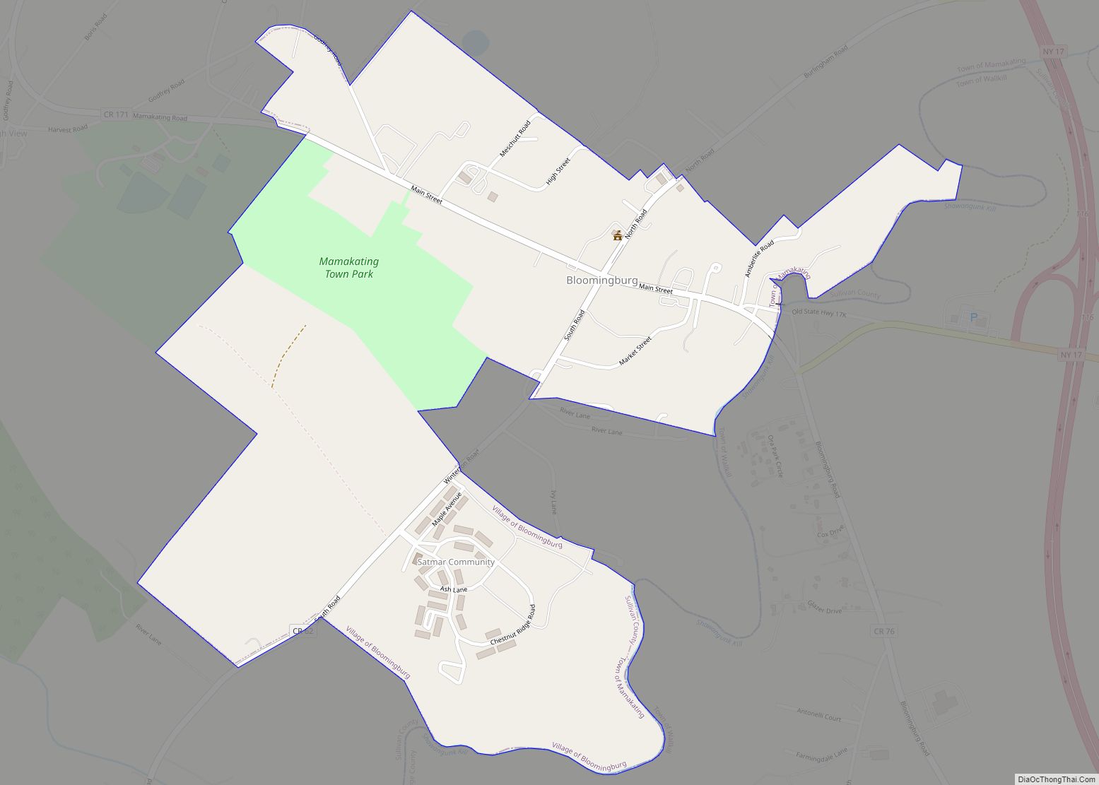
Bloomingburg, previously Bloomingburgh, is a village in the Sullivan County town of Mamakating, New York, United States. The population was 1,032 at the 2020 census.
| Name: | Bloomingburg village |
|---|---|
| LSAD Code: | 47 |
| LSAD Description: | village (suffix) |
| State: | New York |
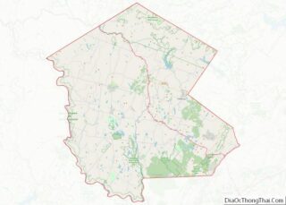
| County: | Sullivan County |
| Founded: | 1833 |
| Elevation: | 515 ft (157 m) |
| Total Area: | 0.69 sq mi (1.78 km²) |
| Land Area: | 0.69 sq mi (1.78 km²) |
| Water Area: | 0.00 sq mi (0.00 km²) |
| Total Population: | 1,032 |
| Population Density: | 1,500.00/sq mi (578.97/km²) |
| ZIP code: | 12721 |
| Area code: | 845 |
| FIPS code: | 3606959 |
| GNISfeature ID: | 0975768 |
| Website: | bloomingburg.us |
Online Interactive Map
Click on ![]() to view map in "full screen" mode.
to view map in "full screen" mode.
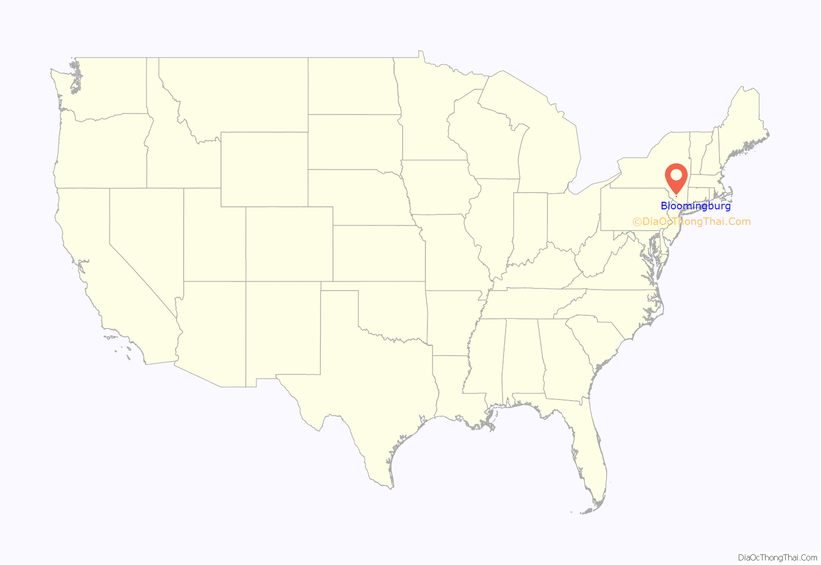
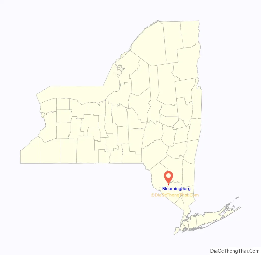
Bloomingburg location map. Where is Bloomingburg village?
History
Bloomingburg’s accepted incorporation date is 1833. It was the first county seat of Sullivan County, being located in the original county town of Mamakating. It prospered, first, as a center of commerce along the Newburgh–Cochecton Turnpike, then as a railway town serving vacationers in the mountains. Many guesthouses in the village were not rebuilt after the devastating fire of February 1922, and the village has been primarily an agricultural center ever since.
The Bloomingburg Reformed Protestant Dutch Church was listed on the National Register of Historic Places in 1980.
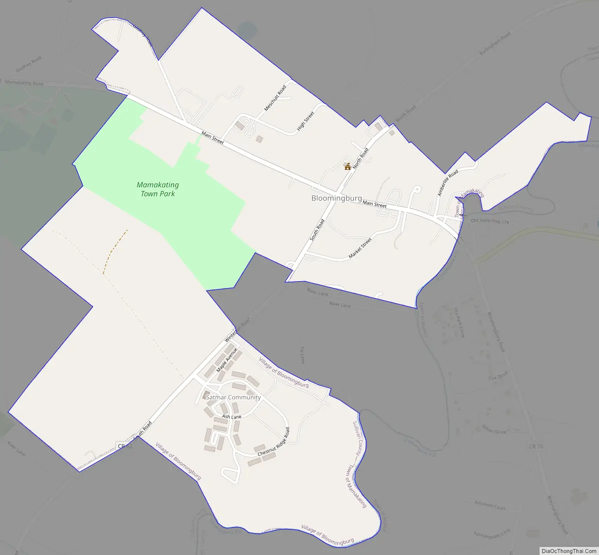
Bloomingburg Road Map
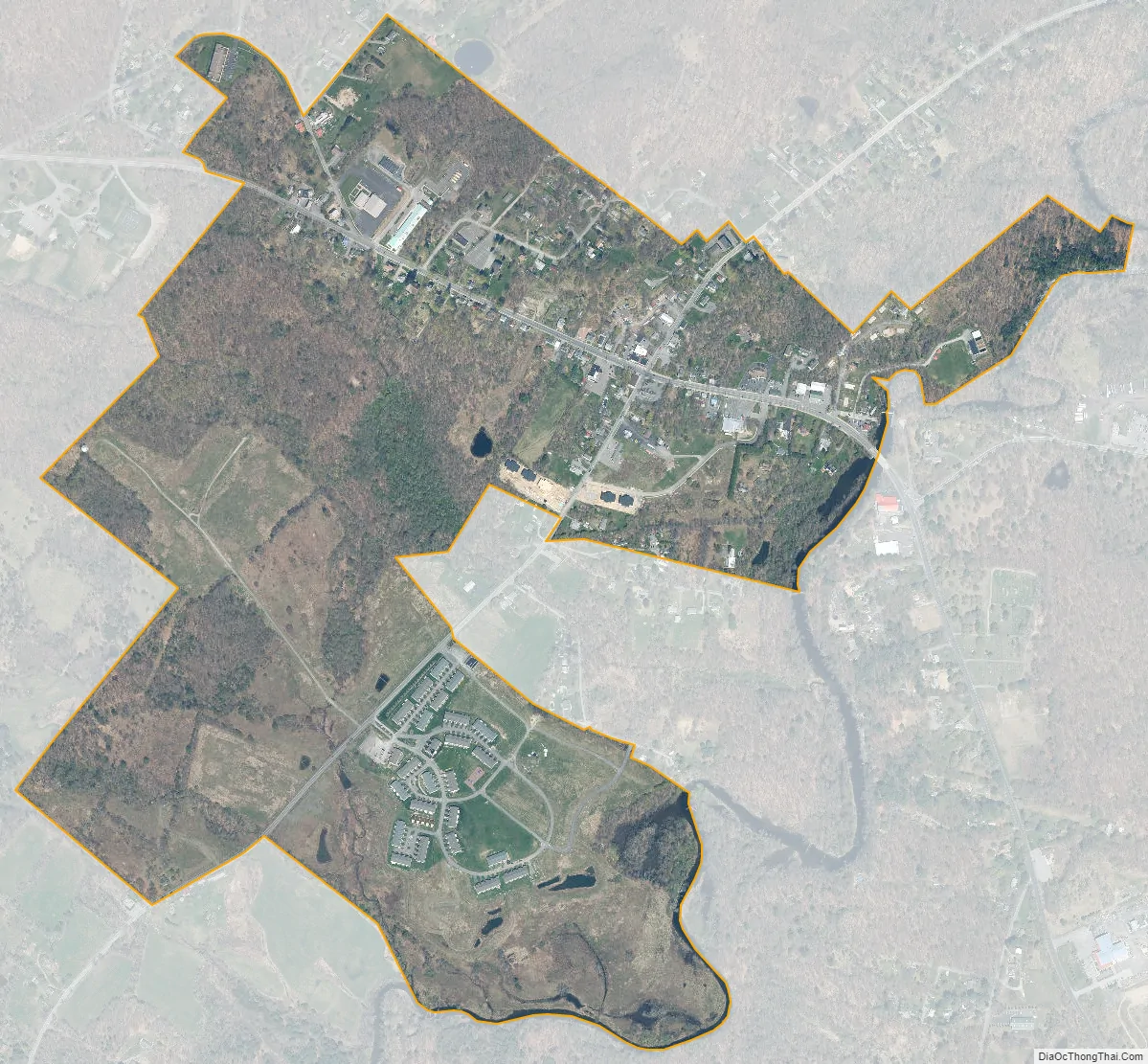
Bloomingburg city Satellite Map
Geography
Bloomingburg is located at 41°33′22″N 74°26′28″W / 41.55611°N 74.44111°W / 41.55611; -74.44111 (41.556159, −74.441060). The village’s eastern boundary is the Shawangunk Kill, Dutch for “Shawangunk River”, also the Orange County line at that point, with its western boundary a short distance up the Shawangunk Ridge. It is the only population center in Sullivan County entirely within the Hudson River watershed.
The northern and southern boundaries roughly parallel Main Street, also County Route 171, the former route of NY 17, which now bypasses the village to the north as an expressway. It is served by two exits on Route 17, one for Burlingham Road and the other, just over the county line, for NY 17K.
According to the United States Census Bureau, the village has a total area of 0.3 square miles (0.78 km), all land.
See also
Map of New York State and its subdivision:- Albany
- Allegany
- Bronx
- Broome
- Cattaraugus
- Cayuga
- Chautauqua
- Chemung
- Chenango
- Clinton
- Columbia
- Cortland
- Delaware
- Dutchess
- Erie
- Essex
- Franklin
- Fulton
- Genesee
- Greene
- Hamilton
- Herkimer
- Jefferson
- Kings
- Lake Ontario
- Lewis
- Livingston
- Madison
- Monroe
- Montgomery
- Nassau
- New York
- Niagara
- Oneida
- Onondaga
- Ontario
- Orange
- Orleans
- Oswego
- Otsego
- Putnam
- Queens
- Rensselaer
- Richmond
- Rockland
- Saint Lawrence
- Saratoga
- Schenectady
- Schoharie
- Schuyler
- Seneca
- Steuben
- Suffolk
- Sullivan
- Tioga
- Tompkins
- Ulster
- Warren
- Washington
- Wayne
- Westchester
- Wyoming
- Yates
- Alabama
- Alaska
- Arizona
- Arkansas
- California
- Colorado
- Connecticut
- Delaware
- District of Columbia
- Florida
- Georgia
- Hawaii
- Idaho
- Illinois
- Indiana
- Iowa
- Kansas
- Kentucky
- Louisiana
- Maine
- Maryland
- Massachusetts
- Michigan
- Minnesota
- Mississippi
- Missouri
- Montana
- Nebraska
- Nevada
- New Hampshire
- New Jersey
- New Mexico
- New York
- North Carolina
- North Dakota
- Ohio
- Oklahoma
- Oregon
- Pennsylvania
- Rhode Island
- South Carolina
- South Dakota
- Tennessee
- Texas
- Utah
- Vermont
- Virginia
- Washington
- West Virginia
- Wisconsin
- Wyoming