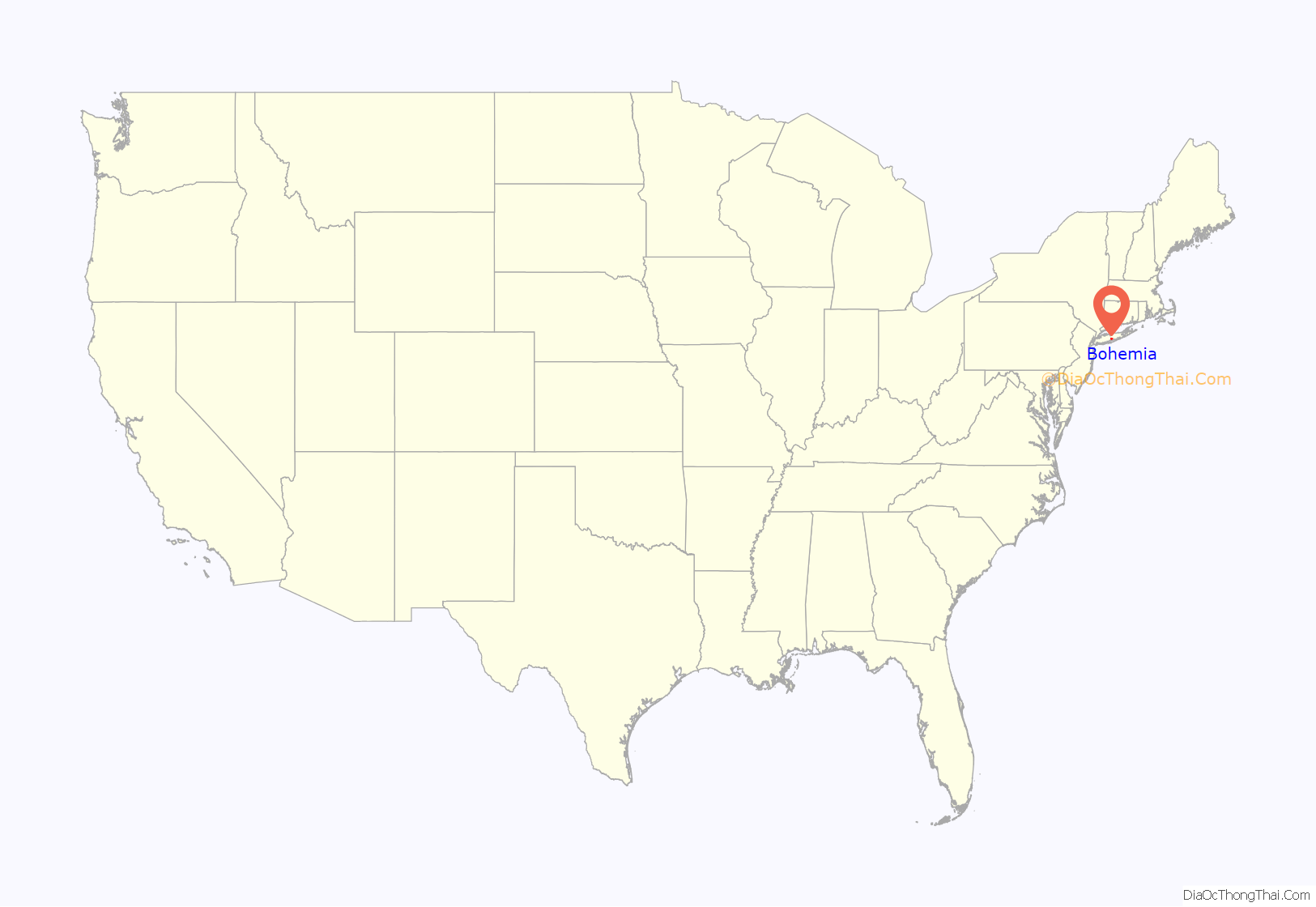
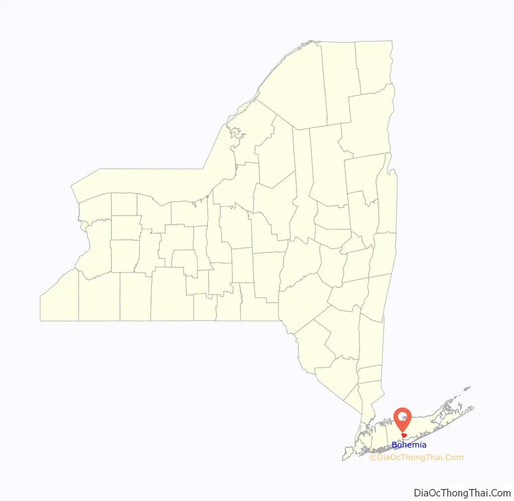
Bohemia /boʊhiːmiːə/ is a hamlet (and census-designated place) in Suffolk County, New York, United States. The population was 10,180 at the 2010 census. It is situated along the South Shore of Long Island in the Town of Islip, approximately 50 miles from New York City.
A portion of Long Island MacArthur Airport is located within the hamlet.
Many of Bohemia’s current residents trace their ethnic heritage back to southern Italy, Ireland, and the historical Czech lands (also called Bohemia). A large percentage of Bohemia’s growing population has migrated to the town from western Long Island, Brooklyn, and Queens.
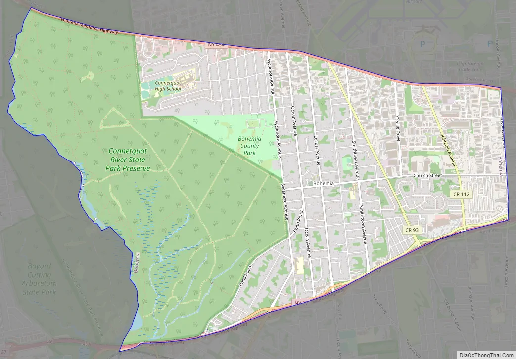
Connetquot River State Park is also located in Bohemia. The park provides an ideal location for horse back riding and because of this, the town harbors a unique equestrian culture. Many of the homes located along the park have stables and it is common to see locals walking their horses through the town’s tree lined streets.
| Name: | Bohemia CDP |
|---|---|
| LSAD Code: | 57 |
| LSAD Description: | CDP (suffix) |
| State: | New York |
| County: | Suffolk County |
| Elevation: | 66 ft (20 m) |
| Total Area: | 8.64 sq mi (22.38 km²) |
| Land Area: | 8.61 sq mi (22.29 km²) |
| Water Area: | 0.03 sq mi (0.09 km²) |
| Total Population: | 9,852 |
| Population Density: | 1,144.92/sq mi (442.05/km²) |
| ZIP code: | 11716 |
| Area code: | 631, 934 |
| FIPS code: | 3607157 |
| GNISfeature ID: | 0944396 |
Online Interactive Map
Click on ![]() to view map in "full screen" mode.
to view map in "full screen" mode.
Bohemia location map. Where is Bohemia CDP?
History
The earliest known inhabitants of what is today Bohemia were the Secatogue tribe of the Algonquian peoples.
The area was founded as Bohemia in 1855 by Slavic immigrants who were the first Europeans to settle there in large numbers. These migrants came from a mountainous village near Kadaň in the Central European Kingdom of Bohemia, which is the town’s namesake (Kadaň is located in present-day Czech Republic). Their pilgrimage coincided with a wave of Bohemian nationals emigrating to the United States, many of whom embodied the free spirited and enlightened lifestyles synonymous with bohemianism. They had taken part in the widespread revolutions against autocratic rule that had shaken Europe in 1848 and came seeking a new life in the United States. Work was hard to come by in New York and many of the men tried to support themselves as street musicians. An important contribution they made to the development of Long Island was adding their rich Central European folklore to the local culture, a nice complement to the also rich oral tradition of the native people. Many of the first homes they built are located on the town’s avenues and are distinguished by their cross gable roofs.
For 100 years, Bohemia remained a very small village most of whose residents were of Czech descent. With the development of all of Long Island after World War II, Bohemia also grew. At the time of the centennial in 1955, the population was about 3,000. Today there about 11,000 inhabitants from many national and ethnic backgrounds.
Local cigar industry
The Slavic immigrants came to Bohemia with excellent cigar-making skills. There were once several cigar making factories in the town and the industry provided a living for many of the residents. Two notable cigar factories were Albert Kovanda’s factory, located on the corner of Lakeland and Smithtown Avenues, and the M. Foster Cigar Factory, located at Ocean Avenue and Church Street. The local cigar industry continued until the 1930s when mechanized production did away with the need for hand manufacturing. No cigar factories remain today.
Name change
Over the years, there have been a number of attempts to change the name of Bohemia, which some people felt was too tied to one ethnic group. They felt this was keeping new people and new businesses from coming to the town. Proposed new names have included: Sayville Heights or North Sayville, after the town immediately to the south; Lidice, after a Czech town destroyed by Nazi troops during World War II; and MacArthur, after the airport built in the 1940s (the airport is named for controversial American General Douglas MacArthur). None of the efforts to change the name received enough public support to be finalized.
Bohemia Road Map
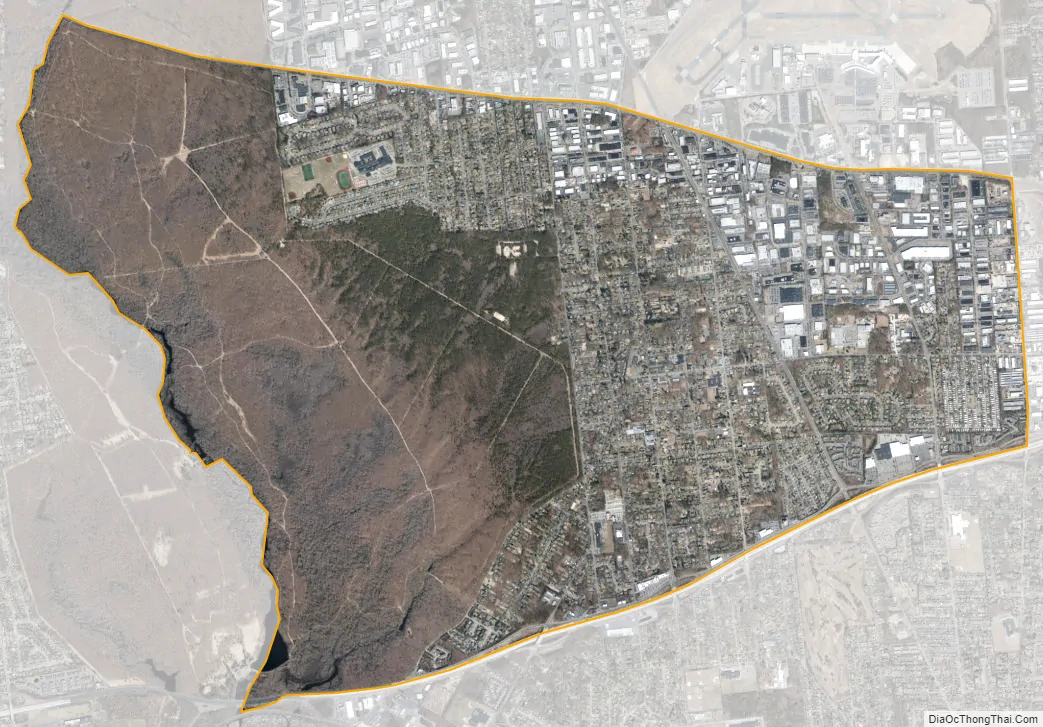
Bohemia city Satellite Map
Geography
According to the United States Census Bureau, the CDP has a total area of 8.8 square miles (23 km), of which 8.7 square miles (23 km) is land and 0.04 square miles (0.10 km) (0.34%) is water.
Bohemia is bordered by Central Islip and Great River to the west; Islandia, Ronkonkoma and Lake Ronkonkoma to the north; Holbrook to the east; and Oakdale, Sayville, West Sayville, and Bayport to the south.
Climate
The climate in this area is characterized by hot, humid summers and generally mild to cool winters. According to the Köppen Climate Classification system, Bohemia has a humid subtropical climate, abbreviated “Cfa” on climate maps.
See also
Map of New York State and its subdivision:- Albany
- Allegany
- Bronx
- Broome
- Cattaraugus
- Cayuga
- Chautauqua
- Chemung
- Chenango
- Clinton
- Columbia
- Cortland
- Delaware
- Dutchess
- Erie
- Essex
- Franklin
- Fulton
- Genesee
- Greene
- Hamilton
- Herkimer
- Jefferson
- Kings
- Lake Ontario
- Lewis
- Livingston
- Madison
- Monroe
- Montgomery
- Nassau
- New York
- Niagara
- Oneida
- Onondaga
- Ontario
- Orange
- Orleans
- Oswego
- Otsego
- Putnam
- Queens
- Rensselaer
- Richmond
- Rockland
- Saint Lawrence
- Saratoga
- Schenectady
- Schoharie
- Schuyler
- Seneca
- Steuben
- Suffolk
- Sullivan
- Tioga
- Tompkins
- Ulster
- Warren
- Washington
- Wayne
- Westchester
- Wyoming
- Yates
- Alabama
- Alaska
- Arizona
- Arkansas
- California
- Colorado
- Connecticut
- Delaware
- District of Columbia
- Florida
- Georgia
- Hawaii
- Idaho
- Illinois
- Indiana
- Iowa
- Kansas
- Kentucky
- Louisiana
- Maine
- Maryland
- Massachusetts
- Michigan
- Minnesota
- Mississippi
- Missouri
- Montana
- Nebraska
- Nevada
- New Hampshire
- New Jersey
- New Mexico
- New York
- North Carolina
- North Dakota
- Ohio
- Oklahoma
- Oregon
- Pennsylvania
- Rhode Island
- South Carolina
- South Dakota
- Tennessee
- Texas
- Utah
- Vermont
- Virginia
- Washington
- West Virginia
- Wisconsin
- Wyoming


