Boonville is a village in Oneida County, New York, United States. The population was 2,072 at the 2010 census. The village is named after Gerrit Boon, an agent of the Holland Land Company.
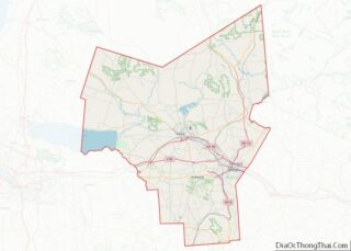
The Village of Boonville is within the Town of Boonville in the northern part of Oneida County, north of Utica.
| Name: | Boonville village |
|---|---|
| LSAD Code: | 47 |
| LSAD Description: | village (suffix) |
| State: | New York |
| County: | Oneida County |
| Incorporated: | 1855 |
| Elevation: | 1,142 ft (348 m) |
| Total Area: | 1.73 sq mi (4.49 km²) |
| Land Area: | 1.73 sq mi (4.48 km²) |
| Water Area: | 0.00 sq mi (0.01 km²) |
| Total Population: | 2,020 |
| Population Density: | 1,168.31/sq mi (450.99/km²) |
| ZIP code: | 13309 |
| Area code: | 315 |
| FIPS code: | 3607355 |
| GNISfeature ID: | 2391556 |
| Website: | www.village.boonville.ny.us |
Online Interactive Map
Click on ![]() to view map in "full screen" mode.
to view map in "full screen" mode.
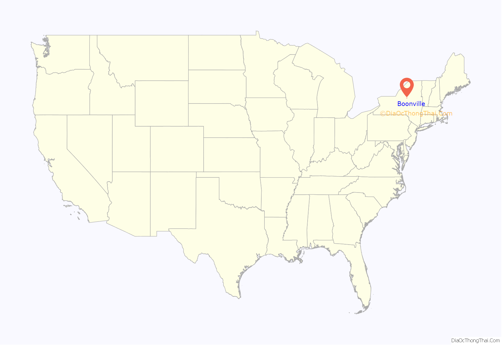
Boonville location map. Where is Boonville village?
History
The first settlement, initiated by Gerrit Boon from Leiden, the Netherlands, was made in 1795. The village was incorporated in 1855. The original name of the community, provided by Boon, was “Kortenaer” (after Egbert Bartholomeusz Kortenaer, a Dutch admiral).
Andrew Edmunds was credited with being the founder of Boonville. Edmunds had arrived with Garrit Boon, who is believed to be the first to attempt permanent settlement in Boonville in the spring of 1795. Both men arrived together, constructed a sawmill on Mill Creek, only for it to be completely destroyed by fire when adding a gristmill. As winter approached, Boon and Edmunds relocated to Barneveld to return in the spring to rebuild the saw mills and welcome other settlers on behalf of the land company.
In 1812 or 1819 the Hulbert House was established and currently stands on the town square in Boonville. This inn is known as the first two-story building to be built in the village of Boonville. Although, historians disagree as to which year the Hulbert House was built, they agree that it was built by Ephraim Owens.
In the 1800s it is said to have been the most famous hotel between Erie Canal and the St. Lawrence River. The Hulbert House was originally built as a hotel and inn and has the same functions in current day. The Hulbert House welcomes travelers for breakfast, lunch, dinner or a relaxing overnight stay. While it has changed ownership throughout the years, the Hulbert House is still continuing its tradition which began over 180 years ago.
In the 1830s to the 1850s the Black River Canal was designed and constructed to connect the Erie Canal(Barge) to the Black River from Rome to Boonville – a distance of 25 miles. This section, connecting Rome and Boonville, is known as the Southern section of the overland canal. It’s constructed of 70 locks to lift the boats and water 693 feet. The Northern section of the overland canal connected Boonville and Lyons Falls, 10 miles in distance and requiring 39 locks to descend the boats and water 386 feet. In all, the Black River Canal had 109 locks and is still a world record.
The Black River Canal had a vital role in the livelihood of the North Countries growth and prosperity, giving it access to Eastern and Midwestern markets to help preserve, house, and display artifacts from the canal era. A museum was constructed. The museum is located on a site formerly occupied by Titus Powers Iron Works, built circa 1850 near the Main Street Bridge. Later this site became the Holdrige and Gilbert Foundry and Machine Shop.
In 1933, a significant clash occurred between the state police and farmers here.
In 1983, a tornado ripped through Boonville.
In 2004, Ethan Allen Interiors, a major employer in the village, closed down leaving many residents looking for work.
The Boonville Historic District, Erwin Library and Pratt House, Black River Canal Warehouse, Five Lock Combine and Locks 37 and 38, Black River Canal, and United States Post Office are listed on the National Register of Historic Places.
Boonville Road Map
Boonville city Satellite Map
Geography
Boonville is located at 43°28′59″N 75°19′55″W / 43.48306°N 75.33194°W / 43.48306; -75.33194 (43.483201, -75.331945).
According to the United States Census Bureau, the village has a total area of 1.8 square miles (4.6 km), all land.
Boonville is at the convergence of NYS Route 12, NYS Route 12D, NYS Route 46 and NYS Route 294.
The geographic region is called the Tug Hill Plateau.
See also
Map of New York State and its subdivision:- Albany
- Allegany
- Bronx
- Broome
- Cattaraugus
- Cayuga
- Chautauqua
- Chemung
- Chenango
- Clinton
- Columbia
- Cortland
- Delaware
- Dutchess
- Erie
- Essex
- Franklin
- Fulton
- Genesee
- Greene
- Hamilton
- Herkimer
- Jefferson
- Kings
- Lake Ontario
- Lewis
- Livingston
- Madison
- Monroe
- Montgomery
- Nassau
- New York
- Niagara
- Oneida
- Onondaga
- Ontario
- Orange
- Orleans
- Oswego
- Otsego
- Putnam
- Queens
- Rensselaer
- Richmond
- Rockland
- Saint Lawrence
- Saratoga
- Schenectady
- Schoharie
- Schuyler
- Seneca
- Steuben
- Suffolk
- Sullivan
- Tioga
- Tompkins
- Ulster
- Warren
- Washington
- Wayne
- Westchester
- Wyoming
- Yates
- Alabama
- Alaska
- Arizona
- Arkansas
- California
- Colorado
- Connecticut
- Delaware
- District of Columbia
- Florida
- Georgia
- Hawaii
- Idaho
- Illinois
- Indiana
- Iowa
- Kansas
- Kentucky
- Louisiana
- Maine
- Maryland
- Massachusetts
- Michigan
- Minnesota
- Mississippi
- Missouri
- Montana
- Nebraska
- Nevada
- New Hampshire
- New Jersey
- New Mexico
- New York
- North Carolina
- North Dakota
- Ohio
- Oklahoma
- Oregon
- Pennsylvania
- Rhode Island
- South Carolina
- South Dakota
- Tennessee
- Texas
- Utah
- Vermont
- Virginia
- Washington
- West Virginia
- Wisconsin
- Wyoming
