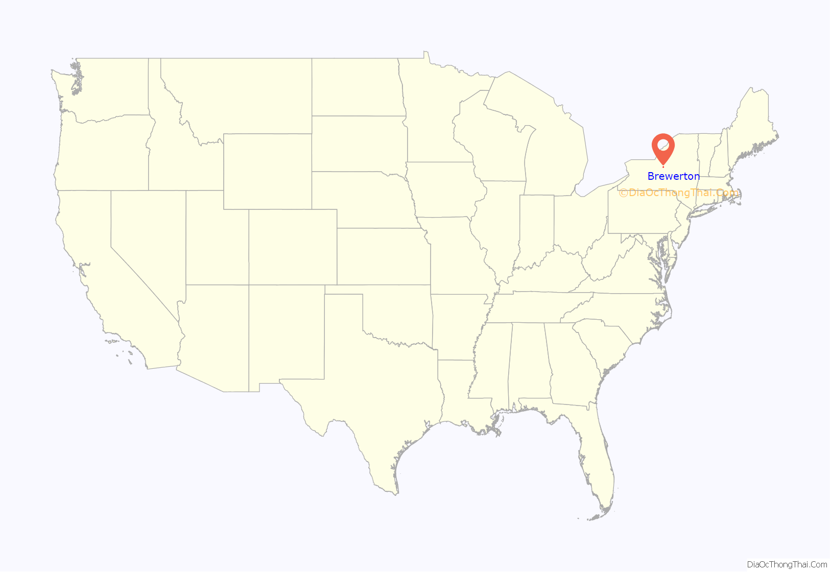
Brewerton is a census-designated place (CDP) in the town of Cicero in Onondaga County and the town of Hastings in Oswego County in the U.S. state of New York. It lies at the west end of Oneida Lake at its outlet into the Oneida River. The population was 4,029 at the 2010 census. Maps of the 19th century indicate that this area was once known as Fort Brewerton, while Brewerton meant the Cicero portion.
| Name: | Brewerton CDP |
|---|---|
| LSAD Code: | 57 |
| LSAD Description: | CDP (suffix) |
| State: | New York |
| County: | Onondaga County, Oswego County |
| Elevation: | 384 ft (117 m) |
| Total Area: | 3.33 sq mi (8.64 km²) |
| Land Area: | 3.17 sq mi (8.20 km²) |
| Water Area: | 0.17 sq mi (0.44 km²) |
| Total Population: | 3,907 |
| Population Density: | 1,234.05/sq mi (476.51/km²) |
| ZIP code: | 13029 |
| Area code: | 315 |
| FIPS code: | 3608059 |
| GNISfeature ID: | 0944698 |
Online Interactive Map
Click on ![]() to view map in "full screen" mode.
to view map in "full screen" mode.
Brewerton location map. Where is Brewerton CDP?
History
The community is sited near the former Fort Brewerton, erected in 1759 to defend the passage from Albany to the port of Oswego. Settlers arrived in 1789 to engage in the fur trade. The Fort Brewerton Block House Museum contains local relics dating back to Paleo-Indian times. It is located next to the original fort.
In the late 18th century two Presbyterians, Rev. John Shepard and Deacon George Ramsey started preaching in the area near the Fort Brewerton embankment. Deacon Ramsey built a schoolhouse nearby which was used for both instruction and worship.
In 1948 the Brewerton Speedway was built by Alvin Richardson of Buffalo as a 1/4 mile dirt track. Brewerton was working on another track however production has stopped due to state funding.
Fort Brewerton was listed on the National Register of Historic Places in 1973.
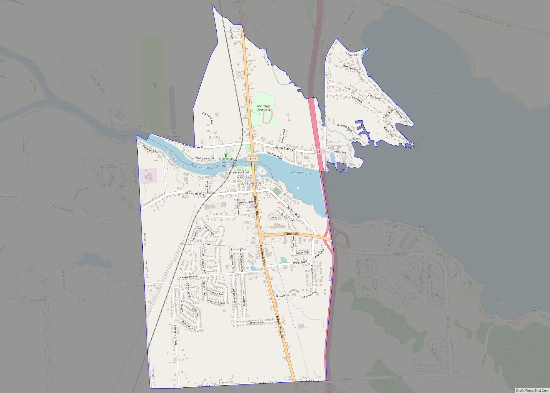
Brewerton Road Map
Brewerton city Satellite Map
Geography
Brewerton is located at 43°14′15″N 76°8′22″W / 43.23750°N 76.13944°W / 43.23750; -76.13944 (43.237428, -76.139369) on the Oneida River on the west end of Oneida Lake.
According to the United States Census Bureau, the CDP has a total area of 3.3 square miles (8.6 km), of which 3.2 square miles (8.2 km) is land and 0.2 square mile (0.4 km) (5.11%) is water.
Brewerton has the largest elementary school in the Central Square School District, which is the geographically one of the largest school districts in the State of New York.
Both U.S. Route 11 and Interstate 81 pass through the hamlet, connecting it to Watertown to the north and Syracuse to the south. In April 2007, the Town of Cicero redrew the traditional boundaries of Brewerton, moving the eastern line west to Interstate 81, and the southern line northward from Mudmill Road to Orangeport Road. This was done to allow Brewerton to remain eligible for Federal grant money. New housing developments had made Brewerton exceed guidelines for “blighted” areas that allow for improvement funds.
In recent years, Brewerton has become a major port for fishing on the already popular Oneida Lake. This is due to the recent Bass Masters outings at Oneida Shores County Park.
Brewerton is now a center in the growth of housing developments Miralago and Champlain at the lake.
See also
Map of New York State and its subdivision:- Albany
- Allegany
- Bronx
- Broome
- Cattaraugus
- Cayuga
- Chautauqua
- Chemung
- Chenango
- Clinton
- Columbia
- Cortland
- Delaware
- Dutchess
- Erie
- Essex
- Franklin
- Fulton
- Genesee
- Greene
- Hamilton
- Herkimer
- Jefferson
- Kings
- Lake Ontario
- Lewis
- Livingston
- Madison
- Monroe
- Montgomery
- Nassau
- New York
- Niagara
- Oneida
- Onondaga
- Ontario
- Orange
- Orleans
- Oswego
- Otsego
- Putnam
- Queens
- Rensselaer
- Richmond
- Rockland
- Saint Lawrence
- Saratoga
- Schenectady
- Schoharie
- Schuyler
- Seneca
- Steuben
- Suffolk
- Sullivan
- Tioga
- Tompkins
- Ulster
- Warren
- Washington
- Wayne
- Westchester
- Wyoming
- Yates
- Alabama
- Alaska
- Arizona
- Arkansas
- California
- Colorado
- Connecticut
- Delaware
- District of Columbia
- Florida
- Georgia
- Hawaii
- Idaho
- Illinois
- Indiana
- Iowa
- Kansas
- Kentucky
- Louisiana
- Maine
- Maryland
- Massachusetts
- Michigan
- Minnesota
- Mississippi
- Missouri
- Montana
- Nebraska
- Nevada
- New Hampshire
- New Jersey
- New Mexico
- New York
- North Carolina
- North Dakota
- Ohio
- Oklahoma
- Oregon
- Pennsylvania
- Rhode Island
- South Carolina
- South Dakota
- Tennessee
- Texas
- Utah
- Vermont
- Virginia
- Washington
- West Virginia
- Wisconsin
- Wyoming
