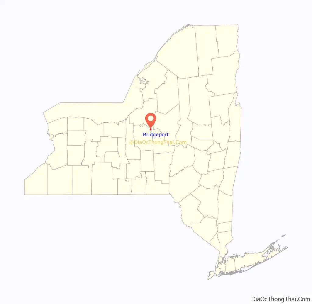
Bridgeport is a hamlet (and census-designated place) located partly in the town of Sullivan in Madison County, New York, United States and partly in the town of Cicero in Onondaga County. The population was 1,490 at the 2010 census.
| Name: | Bridgeport CDP |
|---|---|
| LSAD Code: | 57 |
| LSAD Description: | CDP (suffix) |
| State: | New York |
| County: | Madison County, Onondaga County |
| Elevation: | 390 ft (119 m) |
| Total Area: | 1.94 sq mi (5.03 km²) |
| Land Area: | 1.93 sq mi (4.99 km²) |
| Water Area: | 0.01 sq mi (0.04 km²) |
| Total Population: | 1,389 |
| Population Density: | 720.81/sq mi (278.28/km²) |
| ZIP code: | 13030 |
| Area code: | 315 |
| FIPS code: | 3608147 |
| GNISfeature ID: | 0944727 |
Online Interactive Map
Click on ![]() to view map in "full screen" mode.
to view map in "full screen" mode.
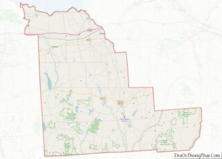
Bridgeport location map. Where is Bridgeport CDP?
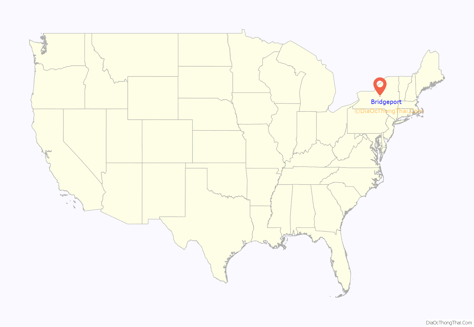
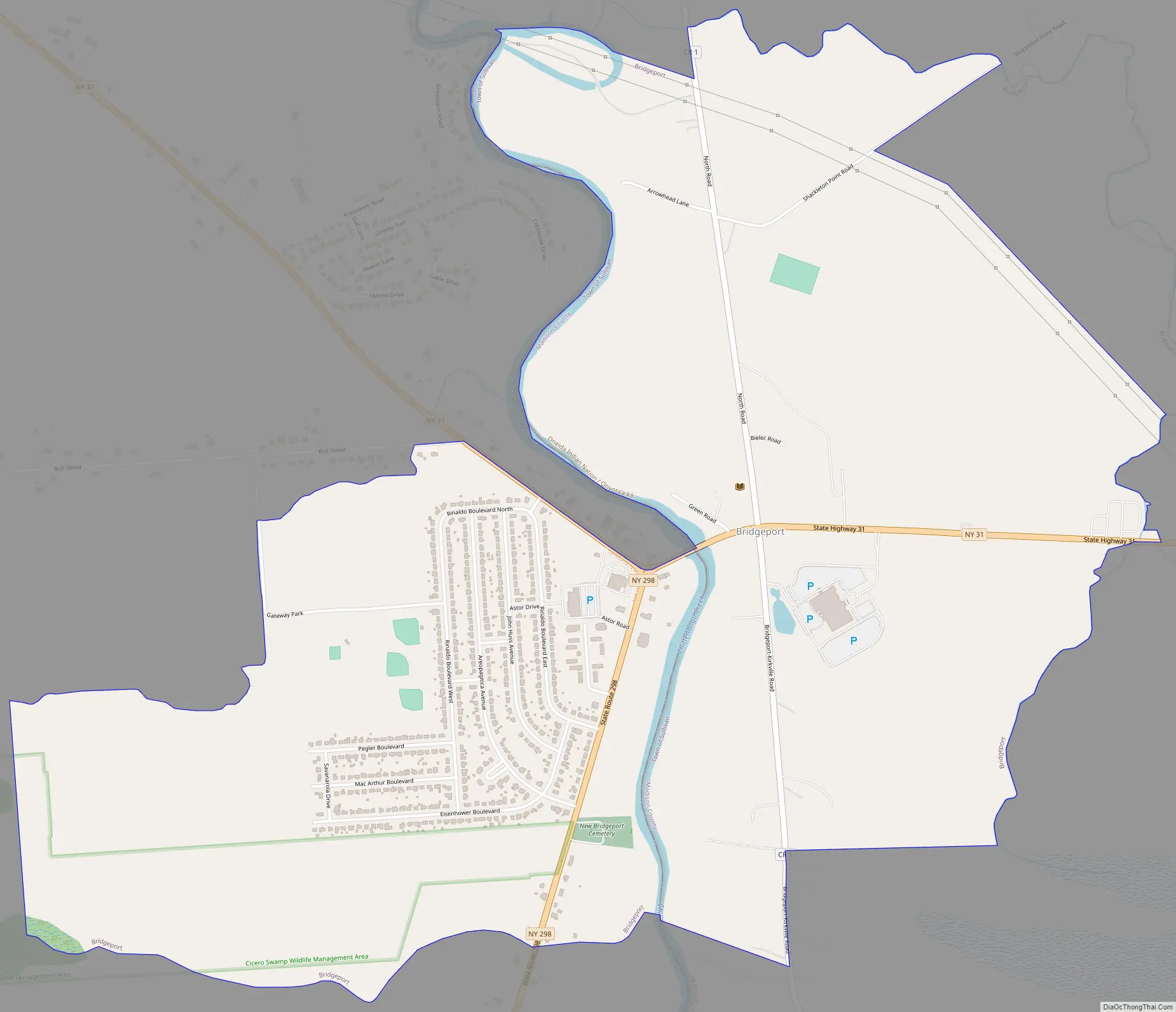
Bridgeport Road Map
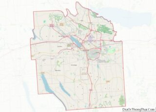
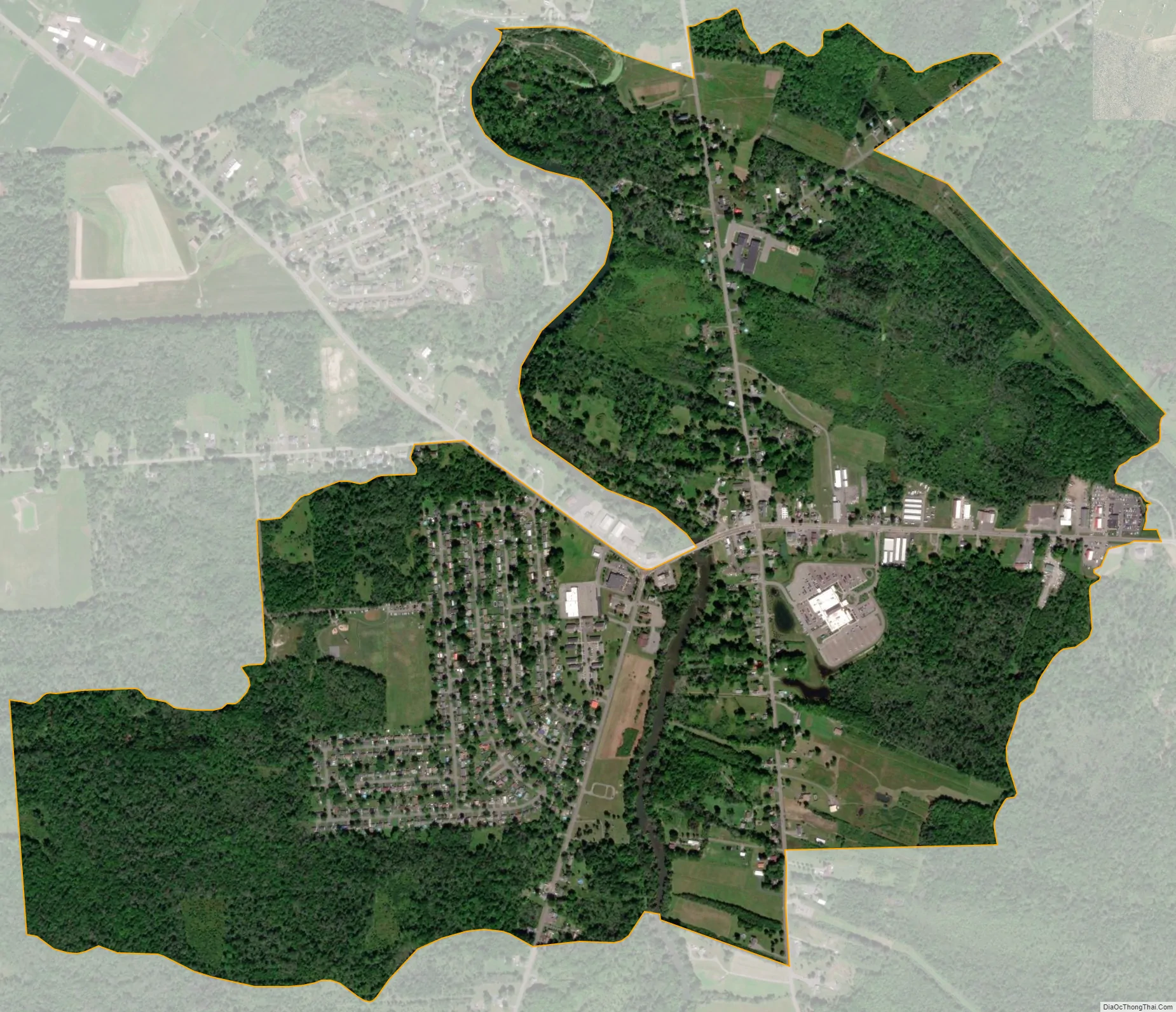
Bridgeport city Satellite Map
Geography
Bridgeport is located at 43°9′16″N 75°58′30″W / 43.15444°N 75.97500°W / 43.15444; -75.97500 (43.154472, -75.974888).
According to the United States Census Bureau, the hamlet’s total area is 1.724 square miles (4.47 km), all land.
Bridgeport straddles the northward-flowing Chittenango Creek, which serves as the boundary between Onondaga County’s town of Cicero on the west side of the creek and Madison County’s town of Sullivan on the east side of the creek. The hamlet’s namesake bridge spans the creek, which empties into Oneida Lake 2.25 linear miles approximately north-northwest of the bridge. There is no other bridge across Chittenango Creek north of Bridgeport, nor one within several linear miles to the south.
New York State Route 31 is an east–west highway through the community (the bridge over Chittenango Creek is on Route 31); the north end of New York State Route 298 terminates at Route 31 in the hamlet, just west of Chittenango Creek.
See also
Map of New York State and its subdivision:- Albany
- Allegany
- Bronx
- Broome
- Cattaraugus
- Cayuga
- Chautauqua
- Chemung
- Chenango
- Clinton
- Columbia
- Cortland
- Delaware
- Dutchess
- Erie
- Essex
- Franklin
- Fulton
- Genesee
- Greene
- Hamilton
- Herkimer
- Jefferson
- Kings
- Lake Ontario
- Lewis
- Livingston
- Madison
- Monroe
- Montgomery
- Nassau
- New York
- Niagara
- Oneida
- Onondaga
- Ontario
- Orange
- Orleans
- Oswego
- Otsego
- Putnam
- Queens
- Rensselaer
- Richmond
- Rockland
- Saint Lawrence
- Saratoga
- Schenectady
- Schoharie
- Schuyler
- Seneca
- Steuben
- Suffolk
- Sullivan
- Tioga
- Tompkins
- Ulster
- Warren
- Washington
- Wayne
- Westchester
- Wyoming
- Yates
- Alabama
- Alaska
- Arizona
- Arkansas
- California
- Colorado
- Connecticut
- Delaware
- District of Columbia
- Florida
- Georgia
- Hawaii
- Idaho
- Illinois
- Indiana
- Iowa
- Kansas
- Kentucky
- Louisiana
- Maine
- Maryland
- Massachusetts
- Michigan
- Minnesota
- Mississippi
- Missouri
- Montana
- Nebraska
- Nevada
- New Hampshire
- New Jersey
- New Mexico
- New York
- North Carolina
- North Dakota
- Ohio
- Oklahoma
- Oregon
- Pennsylvania
- Rhode Island
- South Carolina
- South Dakota
- Tennessee
- Texas
- Utah
- Vermont
- Virginia
- Washington
- West Virginia
- Wisconsin
- Wyoming