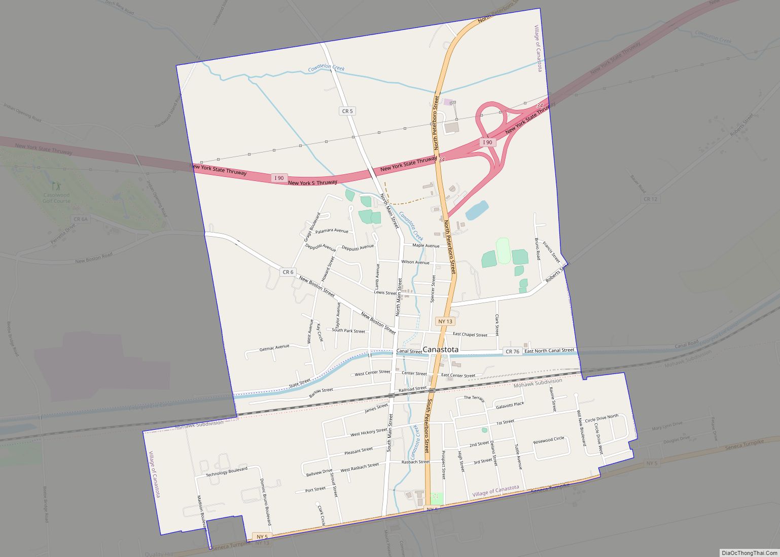
Canastota is a village located inside the Town of Lenox in Madison County, New York, United States. The population was 4,556 at the 2020 census.
The village was incorporated in 1835, but was reorganized in 1870. Located along the banks of the Erie Canal, which was completed through the Mohawk River valley by 1825, Canastota was a vibrant trading and commercial town during the mid-nineteenth century for a wide agricultural area and an important stop on the in-between the cities of Rome and Syracuse.
Although the section of the canal running through the village was abandoned by the 1920s, much of the section remains intact and is now part of the Old Erie Canal State Historic Park.
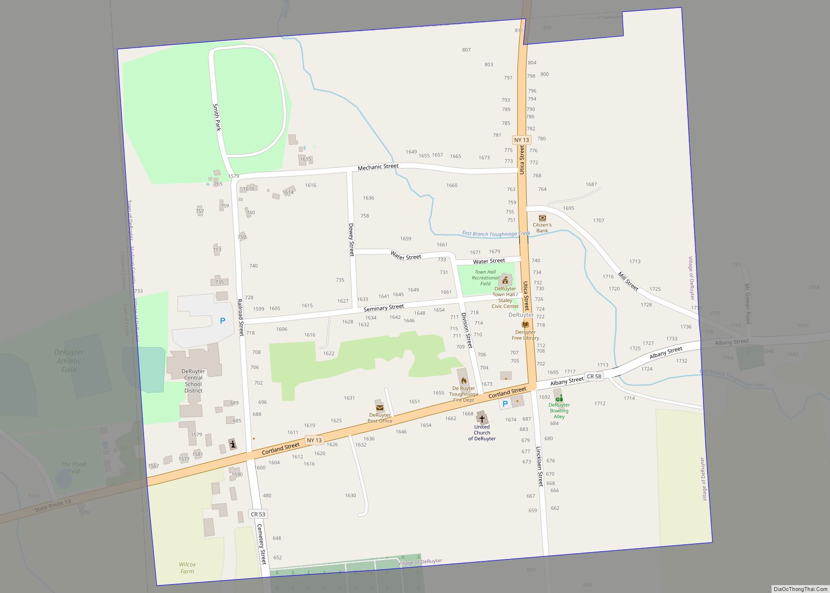
The village of Canastota is in the southern part of the Town of Lenox.
| Name: | Canastota village |
|---|---|
| LSAD Code: | 47 |
| LSAD Description: | village (suffix) |
| State: | New York |
| County: | Madison County |
| Elevation: | 430 ft (131 m) |
| Total Area: | 3.34 sq mi (8.66 km²) |
| Land Area: | 3.34 sq mi (8.65 km²) |
| Water Area: | 0.00 sq mi (0.01 km²) |
| Total Population: | 4,556 |
| Population Density: | 1,364.07/sq mi (526.73/km²) |
| ZIP code: | 13032 |
| Area code: | 315 |
| FIPS code: | 3612188 |
| GNISfeature ID: | 0945755 |
| Website: | www.canastota.com |
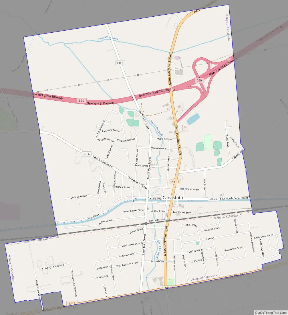
Online Interactive Map
Click on ![]() to view map in "full screen" mode.
to view map in "full screen" mode.
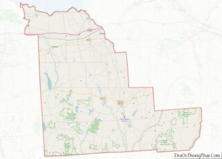
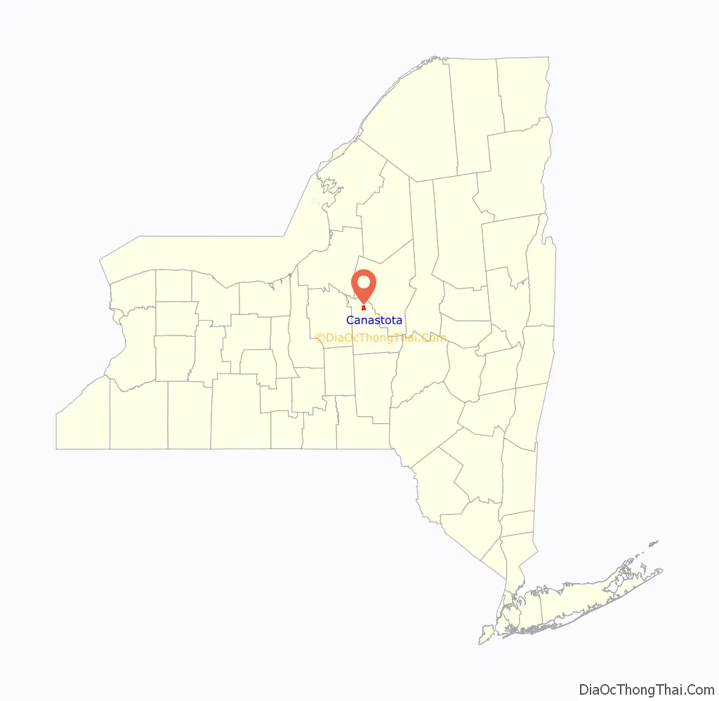
Canastota location map. Where is Canastota village?

History
Native Peoples
Kniste Stota was the historic name of the Canastota, a term used by the local Oneida Nation, meaning “cluster of pines near still waters”.
The area that makes up Canastota was once inhabited by people of the Oneida Nation, a member of the Haudenosanee confederacy. The Nation’s homelands before European settlement of central New York consisted of more than six million acres from the St. Lawrence River to the Susquehanna River.
Captain Reuben Perkins
The village was originally founded by Captain Reuben Perkins, a veteran of the Revolutionary War who served in the battles of Plattsburgh, Saratoga, and Stony Point. In 1800 Captain Perkins moved his family to a log cabin located on Quality Hill along the Seneca Turnpike. In 1810, Captain Perkins purchased 329 and 2/10 acres of land from the Oneida Nation and permanently settled his family in a cabin on the intersection of what would become James St. and Main St. Perkins later won a contract for the two miles of the Erie Canal through Canastota, and served as its superintendent. In 1814 Perkins sold 100 acres of his land and again in 1832, he sold his remaining land holdings.
The Erie Canal
Construction of the Erie Canal through Canastota began in 1817. As the historic waterway was opened, from 1819 through 1825 it caused a surge of growth and development in the area. Workers and their employers soon moved their families to the area and eventually schools, businesses, and religious organizations sprung up.
As soon as this section of the canal was opened, a line of packets was established, making regular trips between Syracuse and Utica, stopping at all intermediate towns. Trade sprang up at once between Canastota and other villages, making it one of the foremost villages in central New York. The first post office was established in 1829 with Ichabod S. Spencer as postmaster, and by 1831 there were three public houses, three stores and a hatter business in the village and the population totaled 406.
When the canal was superseded by the construction of railroads, and later the New York Thruway, some canal towns were cut off from the main lines of commerce.
Liberty Party National Convention
On the first and second days of September, 1852, the national convention of the Liberty Party was held at the Dutch Reformed Church in Canastota. Much of the conventions business was to hear reports from delegates regarding the attitude towards the abolition of slavery in their respective areas. Among the speakers and attendees were Frederick Douglass, Gerrit Smith, and Jermain Wesley Loguen. Later debate during the convention focused on whether the party should nominate its own presidential candidate or if they should support the nomination of the Free Democracy Party.
The 170th anniversary of the convention was celebrated in 2022, attended by representatives from the Village of Canastota, the Town of Lenox, and the William G. Pomeroy foundation. A marker was placed as a dedication to the convention on the site where it was held.
The Terrible Fire of 1873
On Sunday, October 26, 1873, a fire started in a hay barn located to the east of the village. Some sixty tons of hay and the barn it was stored in burned completely.
Just after 1:30am the following morning, another fire was discovered in a small barn on Spencer St. which soon spread to the Eagle Hotel and other surrounding dwellings and businesses. Urged forward by fierce winds, the fire soon raged through several blocks, leaving smoldering ruins in its wake. In total, over thirty buildings were completely destroyed.
No deaths were reported in the next days edition of the Canastota Herald, though many were reported to have sustained serious burns to their faces and hands as they worked tirelessly to retrieve personal items and other goods from the burning buildings. Many of the early records of the village were tragically lost in this fire.
The Herald later reported that in a letter to the Relief Committee, Gerrit Smith wrote, “Let not Canastota despair. She has still more left than she has lost. She has the sympathies and prayers of her fellowman left; above all, the loving God is left to her.” Mr. Smith enclosed his letter with a check for $1000.
1908 New York To Paris Race
The 1908 Race form New York to Paris travelled directly through Canastota.
Canastota Road Map
Canastota city Satellite Map

Geography
According to the United States Census Bureau, the village has a total area of 3.3 square miles (8.5 km), all land.
See also
Map of New York State and its subdivision:- Albany
- Allegany
- Bronx
- Broome
- Cattaraugus
- Cayuga
- Chautauqua
- Chemung
- Chenango
- Clinton
- Columbia
- Cortland
- Delaware
- Dutchess
- Erie
- Essex
- Franklin
- Fulton
- Genesee
- Greene
- Hamilton
- Herkimer
- Jefferson
- Kings
- Lake Ontario
- Lewis
- Livingston
- Madison
- Monroe
- Montgomery
- Nassau
- New York
- Niagara
- Oneida
- Onondaga
- Ontario
- Orange
- Orleans
- Oswego
- Otsego
- Putnam
- Queens
- Rensselaer
- Richmond
- Rockland
- Saint Lawrence
- Saratoga
- Schenectady
- Schoharie
- Schuyler
- Seneca
- Steuben
- Suffolk
- Sullivan
- Tioga
- Tompkins
- Ulster
- Warren
- Washington
- Wayne
- Westchester
- Wyoming
- Yates
- Alabama
- Alaska
- Arizona
- Arkansas
- California
- Colorado
- Connecticut
- Delaware
- District of Columbia
- Florida
- Georgia
- Hawaii
- Idaho
- Illinois
- Indiana
- Iowa
- Kansas
- Kentucky
- Louisiana
- Maine
- Maryland
- Massachusetts
- Michigan
- Minnesota
- Mississippi
- Missouri
- Montana
- Nebraska
- Nevada
- New Hampshire
- New Jersey
- New Mexico
- New York
- North Carolina
- North Dakota
- Ohio
- Oklahoma
- Oregon
- Pennsylvania
- Rhode Island
- South Carolina
- South Dakota
- Tennessee
- Texas
- Utah
- Vermont
- Virginia
- Washington
- West Virginia
- Wisconsin
- Wyoming