Brownville is a village in Jefferson County, New York, United States. The population was 1,119 at the 2010 census, up from 1,022 in 2000. The village is named after Jacob Brown, an early settler and developer.
The village is in the southern part of the town of Brownville, west of Watertown.
| Name: | Brownville village |
|---|---|
| LSAD Code: | 47 |
| LSAD Description: | village (suffix) |
| State: | New York |
| County: | Jefferson County |
| Elevation: | 348 ft (106 m) |
| Total Area: | 0.64 sq mi (1.65 km²) |
| Land Area: | 0.62 sq mi (1.62 km²) |
| Water Area: | 0.01 sq mi (0.03 km²) |
| Total Population: | 930 |
| Population Density: | 1,490.38/sq mi (575.53/km²) |
| ZIP code: | 13615 |
| Area code: | 315 |
| FIPS code: | 3610231 |
| GNISfeature ID: | 0944965 |
| Website: | www.villageofbrownvilleny.com |
Online Interactive Map
Click on ![]() to view map in "full screen" mode.
to view map in "full screen" mode.
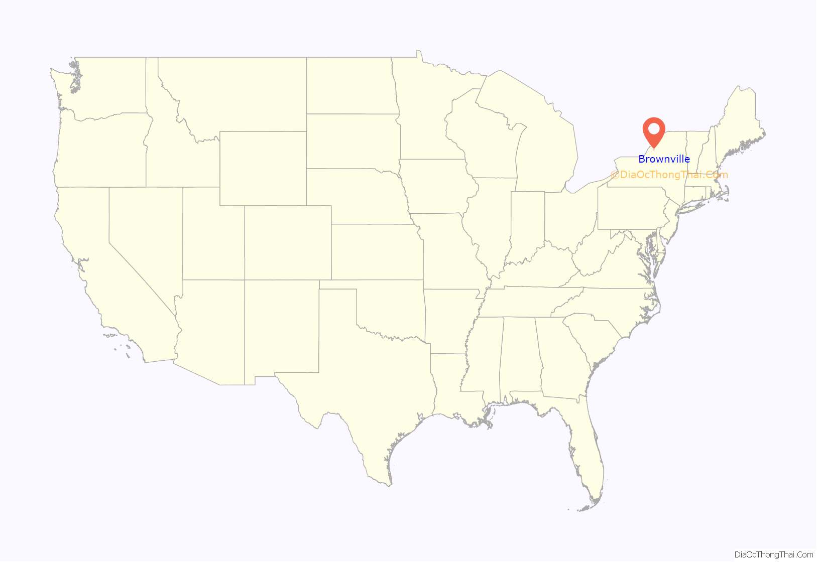
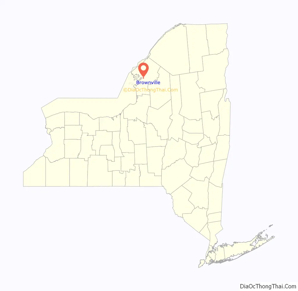
Brownville location map. Where is Brownville village?
History
The village is the site of the first settlement in the town in 1799. It was incorporated in 1828.
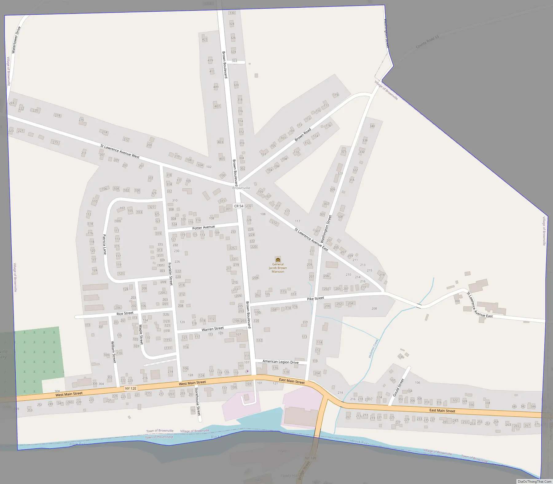
Brownville Road Map
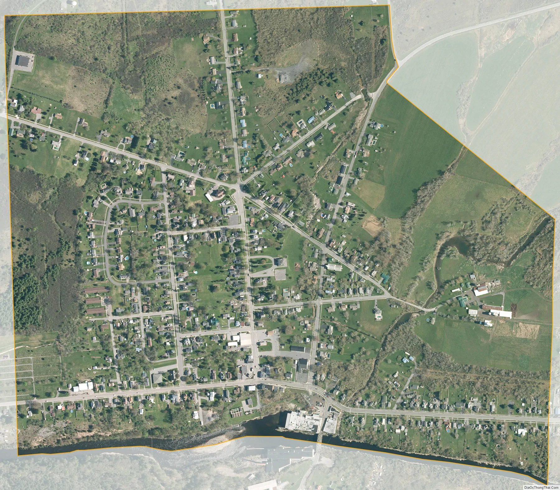
Brownville city Satellite Map
Geography
Brownville is located in central Jefferson County at 44°0′20″N 75°58′59″W / 44.00556°N 75.98306°W / 44.00556; -75.98306 (44.005613, -75.983154). Its southern border is the Black River, which forms the border with the town of Hounsfield. The village is bordered to the east by the village of Glen Park.
According to the United States Census Bureau, the village of Brownville has a total area of 0.68 square miles (1.75 km), of which 0.004 square miles (0.01 km), or 0.56%, are water.
Brownville is on New York State Route 12E and County Route 53. NY-12E leads east 5 miles (8 km) to Watertown and northwest 8 miles (13 km) to Chaumont.
See also
Map of New York State and its subdivision:- Albany
- Allegany
- Bronx
- Broome
- Cattaraugus
- Cayuga
- Chautauqua
- Chemung
- Chenango
- Clinton
- Columbia
- Cortland
- Delaware
- Dutchess
- Erie
- Essex
- Franklin
- Fulton
- Genesee
- Greene
- Hamilton
- Herkimer
- Jefferson
- Kings
- Lake Ontario
- Lewis
- Livingston
- Madison
- Monroe
- Montgomery
- Nassau
- New York
- Niagara
- Oneida
- Onondaga
- Ontario
- Orange
- Orleans
- Oswego
- Otsego
- Putnam
- Queens
- Rensselaer
- Richmond
- Rockland
- Saint Lawrence
- Saratoga
- Schenectady
- Schoharie
- Schuyler
- Seneca
- Steuben
- Suffolk
- Sullivan
- Tioga
- Tompkins
- Ulster
- Warren
- Washington
- Wayne
- Westchester
- Wyoming
- Yates
- Alabama
- Alaska
- Arizona
- Arkansas
- California
- Colorado
- Connecticut
- Delaware
- District of Columbia
- Florida
- Georgia
- Hawaii
- Idaho
- Illinois
- Indiana
- Iowa
- Kansas
- Kentucky
- Louisiana
- Maine
- Maryland
- Massachusetts
- Michigan
- Minnesota
- Mississippi
- Missouri
- Montana
- Nebraska
- Nevada
- New Hampshire
- New Jersey
- New Mexico
- New York
- North Carolina
- North Dakota
- Ohio
- Oklahoma
- Oregon
- Pennsylvania
- Rhode Island
- South Carolina
- South Dakota
- Tennessee
- Texas
- Utah
- Vermont
- Virginia
- Washington
- West Virginia
- Wisconsin
- Wyoming


