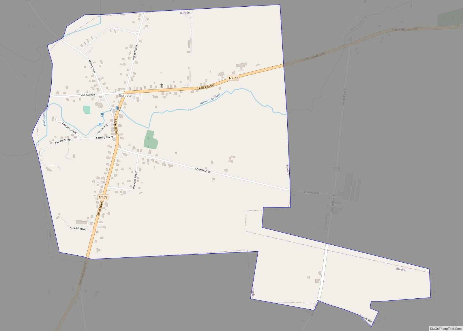
Burdett is a village in Schuyler County, New York, United States. The population was 357 at the 2000 census.
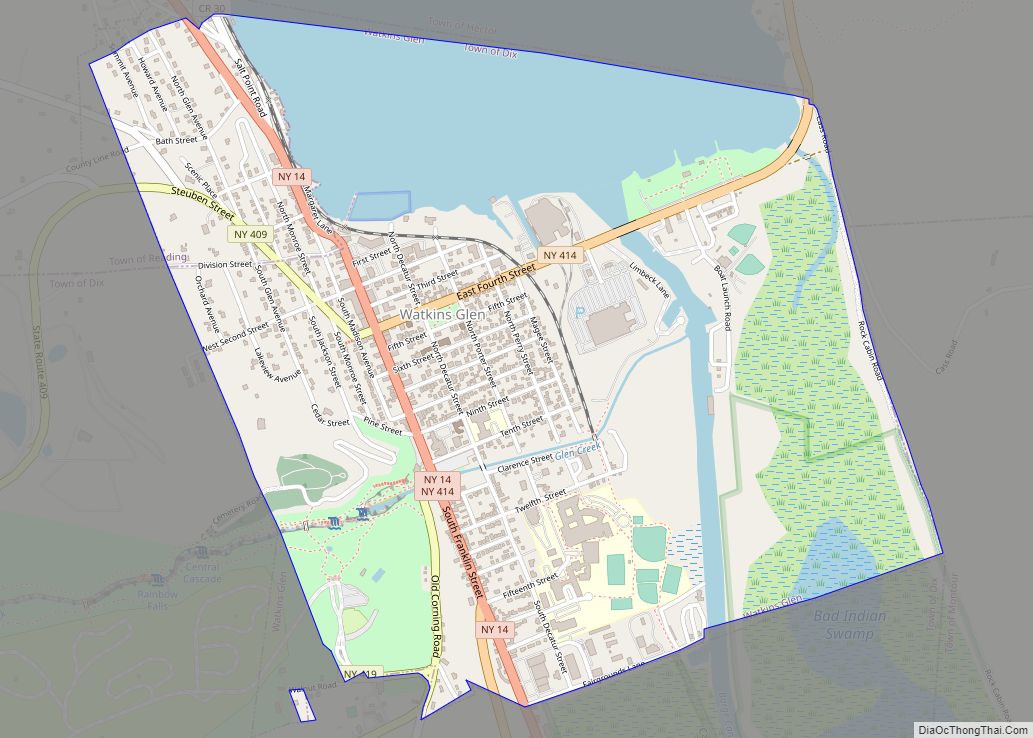
The Village of Burdett is within the Town of Hector, east of Seneca Lake and northeast of Watkins Glen.
| Name: | Burdett village |
|---|---|
| LSAD Code: | 47 |
| LSAD Description: | village (suffix) |
| State: | New York |
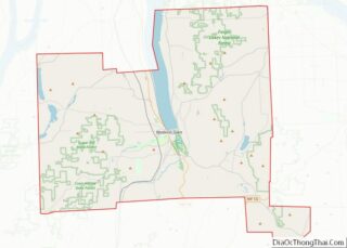
| County: | Schuyler County |
| Elevation: | 978 ft (298 m) |
| Total Area: | 0.96 sq mi (2.49 km²) |
| Land Area: | 0.96 sq mi (2.49 km²) |
| Water Area: | 0.00 sq mi (0.00 km²) |
| Total Population: | 331 |
| Population Density: | 344.07/sq mi (132.86/km²) |
| ZIP code: | 14818 |
| Area code: | 607 |
| FIPS code: | 3611132 |
| GNISfeature ID: | 0973990 |
Online Interactive Map
Click on ![]() to view map in "full screen" mode.
to view map in "full screen" mode.
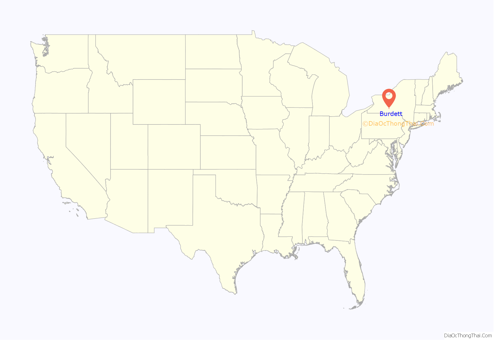
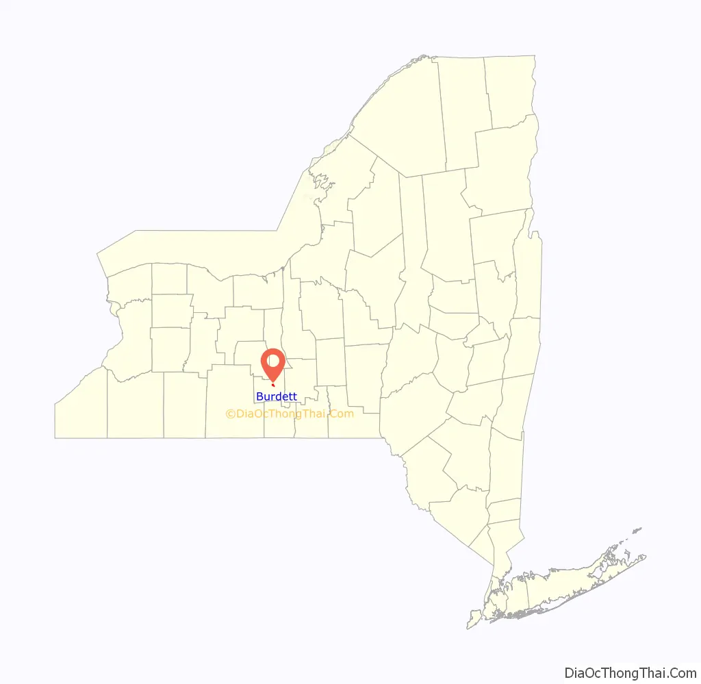
Burdett location map. Where is Burdett village?
History
The village is the site of the first settlement in the Town of Hector, circa 1790.
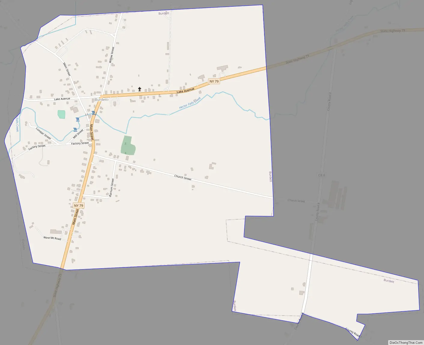
Burdett Road Map
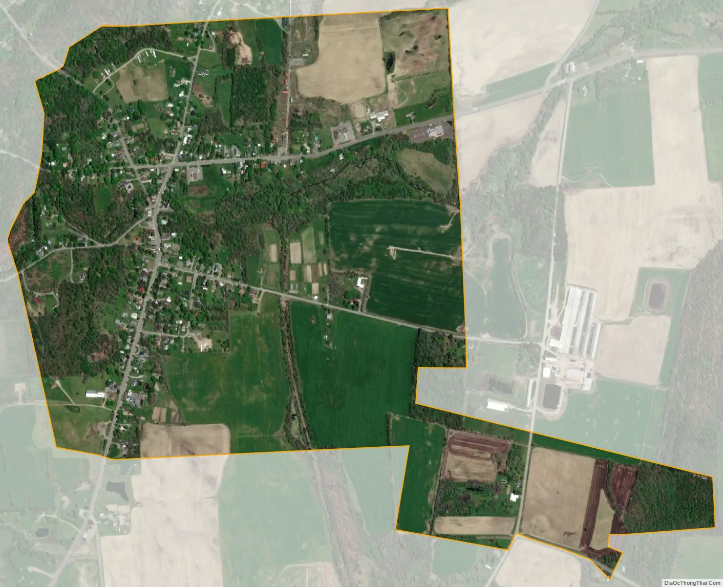
Burdett city Satellite Map
Geography
Burdett is located at 42°24′57″N 76°50′57″W / 42.41583°N 76.84917°W / 42.41583; -76.84917 (42.415960, -76.849250).
According to the United States Census Bureau, the village has a total area of 1.0 square mile (2.6 km), all land.
New York State Route 79 and Logan Creek pass through the village. Burdett is in the Finger Lakes District.
The Finger Lakes Trail, a 584-mile footpath that travels from western to eastern New York State and the through the southern Finger Lakes region of New York State also goes through the Burdett village center, entering from the west, into the village center, then heading north toward the Finger Lakes National Forest.
See also
Map of New York State and its subdivision:- Albany
- Allegany
- Bronx
- Broome
- Cattaraugus
- Cayuga
- Chautauqua
- Chemung
- Chenango
- Clinton
- Columbia
- Cortland
- Delaware
- Dutchess
- Erie
- Essex
- Franklin
- Fulton
- Genesee
- Greene
- Hamilton
- Herkimer
- Jefferson
- Kings
- Lake Ontario
- Lewis
- Livingston
- Madison
- Monroe
- Montgomery
- Nassau
- New York
- Niagara
- Oneida
- Onondaga
- Ontario
- Orange
- Orleans
- Oswego
- Otsego
- Putnam
- Queens
- Rensselaer
- Richmond
- Rockland
- Saint Lawrence
- Saratoga
- Schenectady
- Schoharie
- Schuyler
- Seneca
- Steuben
- Suffolk
- Sullivan
- Tioga
- Tompkins
- Ulster
- Warren
- Washington
- Wayne
- Westchester
- Wyoming
- Yates
- Alabama
- Alaska
- Arizona
- Arkansas
- California
- Colorado
- Connecticut
- Delaware
- District of Columbia
- Florida
- Georgia
- Hawaii
- Idaho
- Illinois
- Indiana
- Iowa
- Kansas
- Kentucky
- Louisiana
- Maine
- Maryland
- Massachusetts
- Michigan
- Minnesota
- Mississippi
- Missouri
- Montana
- Nebraska
- Nevada
- New Hampshire
- New Jersey
- New Mexico
- New York
- North Carolina
- North Dakota
- Ohio
- Oklahoma
- Oregon
- Pennsylvania
- Rhode Island
- South Carolina
- South Dakota
- Tennessee
- Texas
- Utah
- Vermont
- Virginia
- Washington
- West Virginia
- Wisconsin
- Wyoming