Busti is a hamlet and census-designated place in the town of Busti in Chautauqua County, New York, United States. The population was 391 at the 2010 census, out of a total population in the town of 7,351.
| Name: | Busti CDP |
|---|---|
| LSAD Code: | 57 |
| LSAD Description: | CDP (suffix) |
| State: | New York |
| County: | Chautauqua County |
| Elevation: | 1,368 ft (417 m) |
| Total Area: | 2.26 sq mi (5.86 km²) |
| Land Area: | 2.26 sq mi (5.86 km²) |
| Water Area: | 0.00 sq mi (0.00 km²) |
| Total Population: | 349 |
| Population Density: | 154.15/sq mi (59.52/km²) |
| Area code: | 716 |
| FIPS code: | 3611440 |
| GNISfeature ID: | 0945336 |
Online Interactive Map
Click on ![]() to view map in "full screen" mode.
to view map in "full screen" mode.
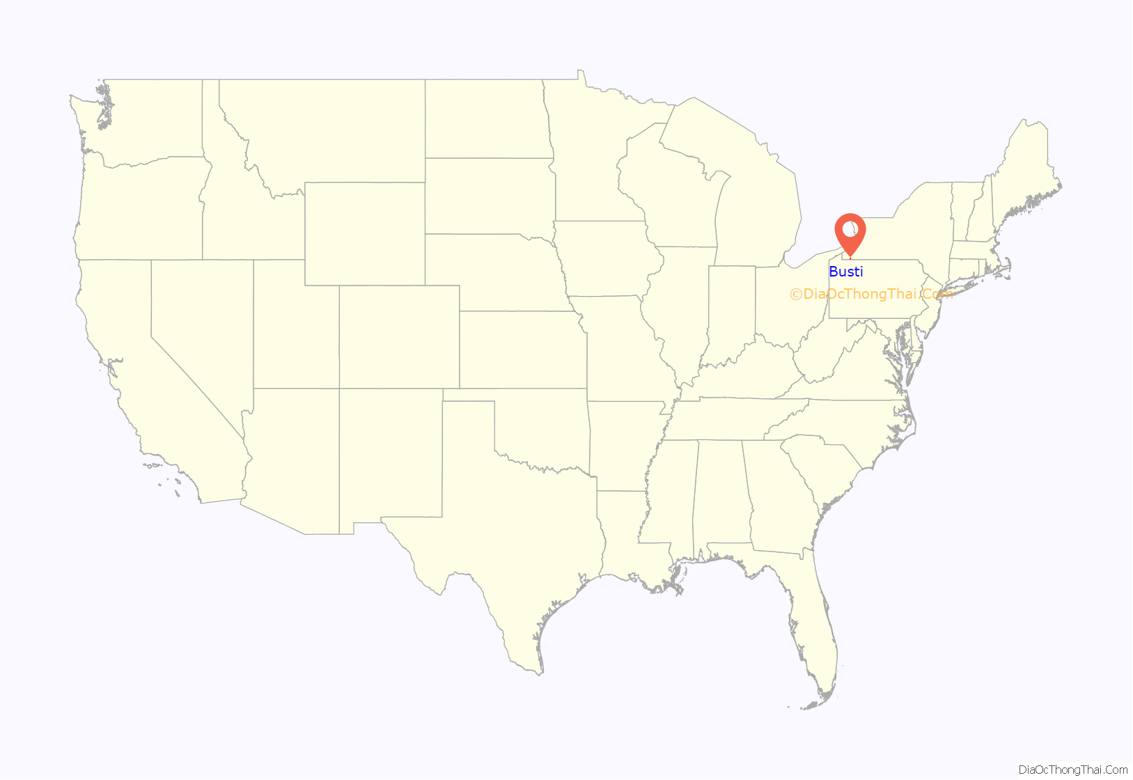
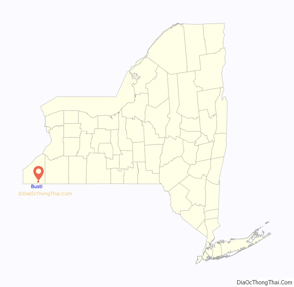
Busti location map. Where is Busti CDP?
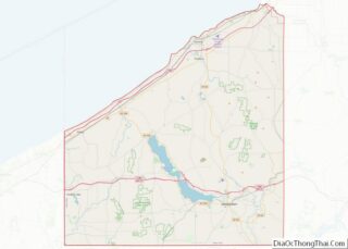
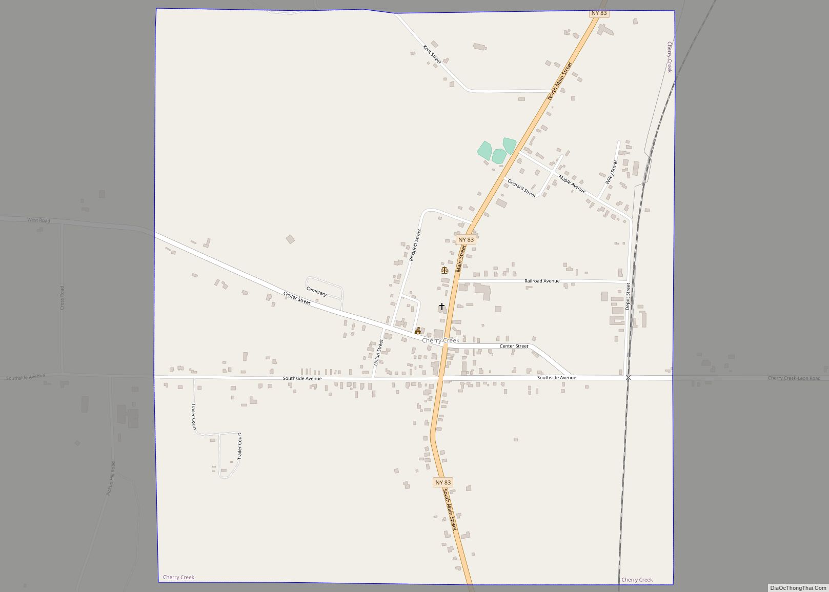
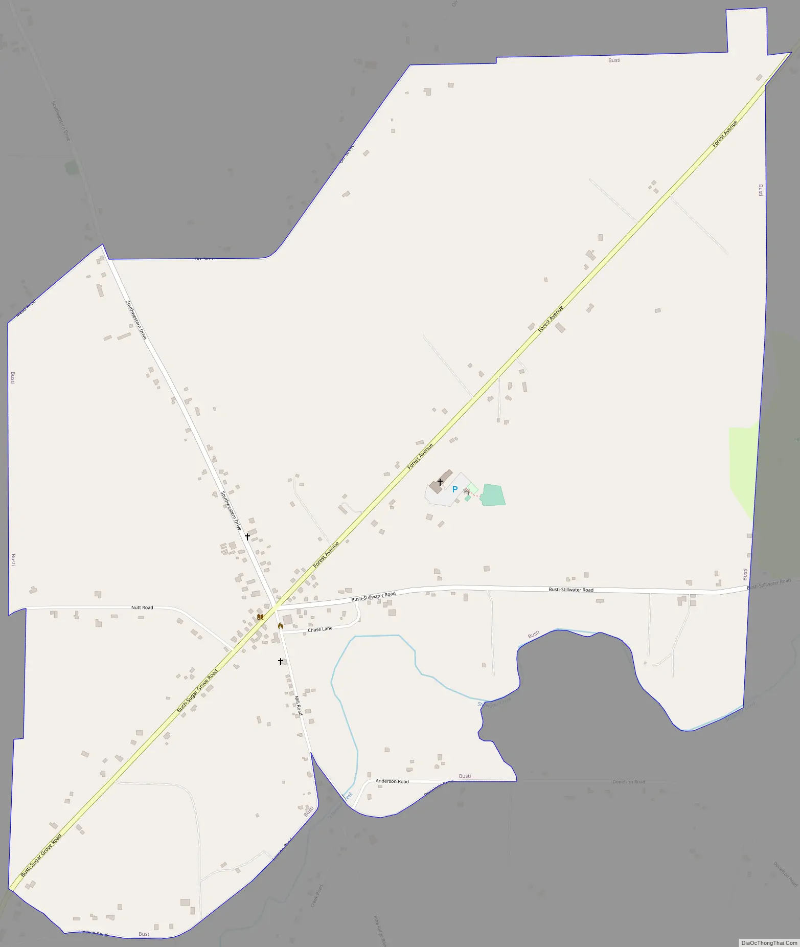
Busti Road Map
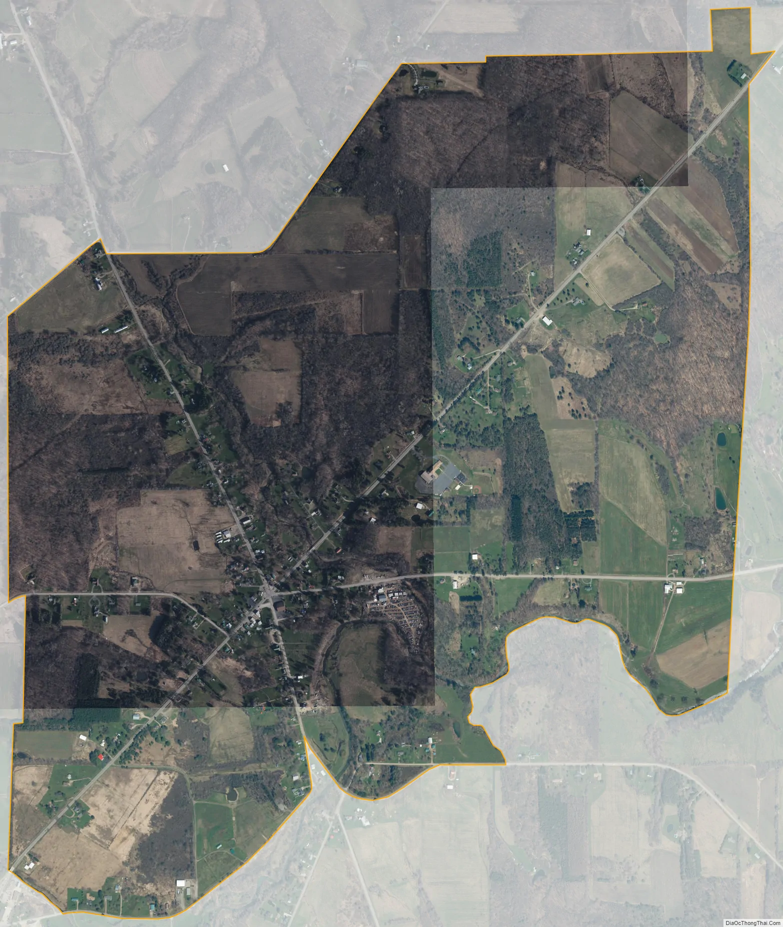
Busti city Satellite Map
Geography
Busti hamlet is located east of the geographic center of the town of Busti, well south of the main settlements in the town, which are along Chautauqua Lake in the north. The hamlet is centered on a five-way intersection of Busti-Sugar Grove Road (departing southwest), Mill Road (southeast), Busti-Stillwater Road (east), Forest Avenue (northeast), and Southwestern Drive (northwest). The city of Jamestown is 5 miles (8 km) to the northeast up Forest Avenue.
The hamlet sits in a valley on the north side of Stillwater Creek, an east-flowing tributary of Conewango Creek, part of the Allegheny River watershed. According to the United States Census Bureau, the community has a total area of 2.3 square miles (5.9 km), all land.
See also
Map of New York State and its subdivision:- Albany
- Allegany
- Bronx
- Broome
- Cattaraugus
- Cayuga
- Chautauqua
- Chemung
- Chenango
- Clinton
- Columbia
- Cortland
- Delaware
- Dutchess
- Erie
- Essex
- Franklin
- Fulton
- Genesee
- Greene
- Hamilton
- Herkimer
- Jefferson
- Kings
- Lake Ontario
- Lewis
- Livingston
- Madison
- Monroe
- Montgomery
- Nassau
- New York
- Niagara
- Oneida
- Onondaga
- Ontario
- Orange
- Orleans
- Oswego
- Otsego
- Putnam
- Queens
- Rensselaer
- Richmond
- Rockland
- Saint Lawrence
- Saratoga
- Schenectady
- Schoharie
- Schuyler
- Seneca
- Steuben
- Suffolk
- Sullivan
- Tioga
- Tompkins
- Ulster
- Warren
- Washington
- Wayne
- Westchester
- Wyoming
- Yates
- Alabama
- Alaska
- Arizona
- Arkansas
- California
- Colorado
- Connecticut
- Delaware
- District of Columbia
- Florida
- Georgia
- Hawaii
- Idaho
- Illinois
- Indiana
- Iowa
- Kansas
- Kentucky
- Louisiana
- Maine
- Maryland
- Massachusetts
- Michigan
- Minnesota
- Mississippi
- Missouri
- Montana
- Nebraska
- Nevada
- New Hampshire
- New Jersey
- New Mexico
- New York
- North Carolina
- North Dakota
- Ohio
- Oklahoma
- Oregon
- Pennsylvania
- Rhode Island
- South Carolina
- South Dakota
- Tennessee
- Texas
- Utah
- Vermont
- Virginia
- Washington
- West Virginia
- Wisconsin
- Wyoming