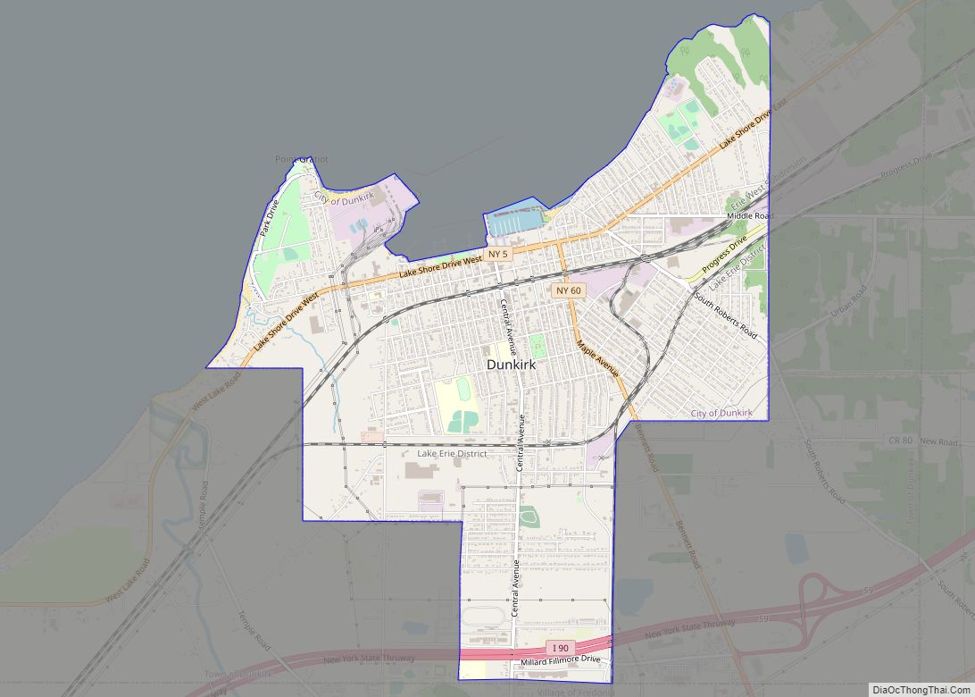
Dunkirk is a city in Chautauqua County, New York, United States. It was settled around 1805 and incorporated in 1880. The population was 12,743 as of the 2020 census. Dunkirk is bordered on the north by Lake Erie. It shares a border with the village of Fredonia to the south, and with the town of Dunkirk to the east and west. Dunkirk is the westernmost city in the state of New York.
| Name: | Dunkirk city |
|---|---|
| LSAD Code: | 25 |
| LSAD Description: | city (suffix) |
| State: | New York |
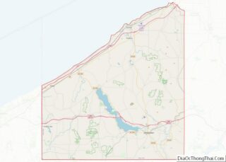
| County: | Chautauqua County |
| Elevation: | 617 ft (188 m) |
| Total Area: | 4.57 sq mi (11.83 km²) |
| Land Area: | 4.54 sq mi (11.77 km²) |
| Water Area: | 0.02 sq mi (0.06 km²) |
| Total Population: | 12,743 |
| Population Density: | 2,803.74/sq mi (1,082.59/km²) |
| ZIP code: | 14048 |
| Area code: | 716 |
| FIPS code: | 3621105 |
Online Interactive Map
Click on ![]() to view map in "full screen" mode.
to view map in "full screen" mode.
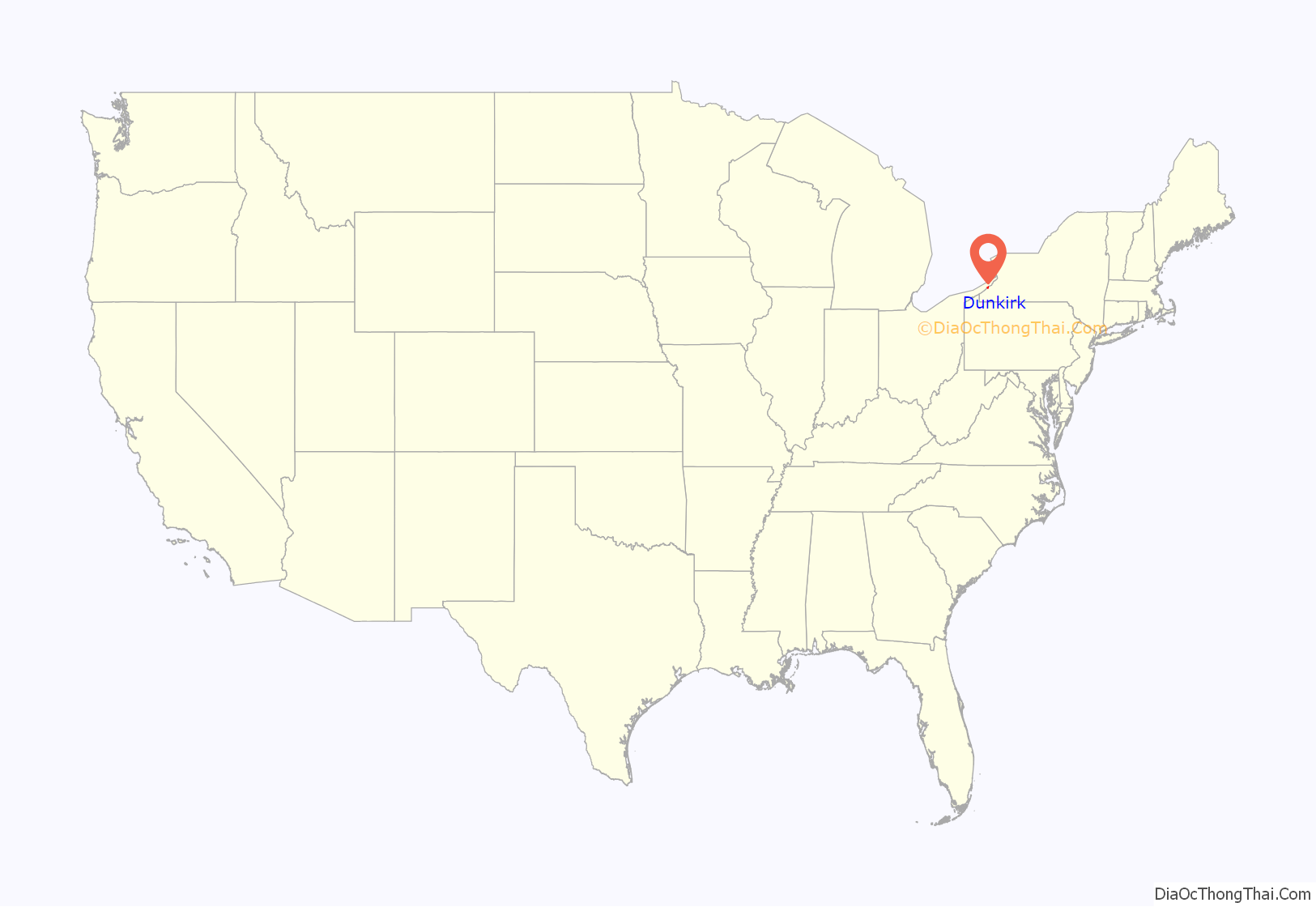
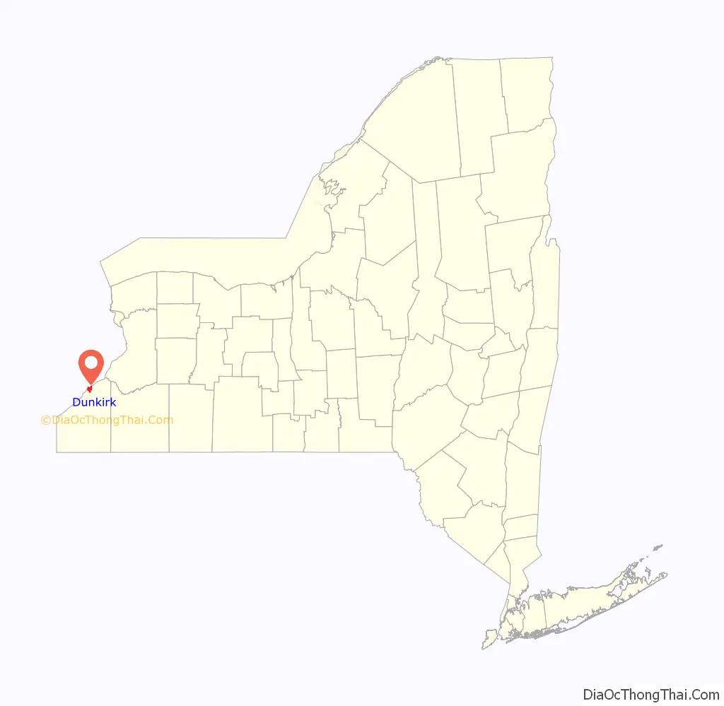
Dunkirk location map. Where is Dunkirk city?
History
The Iroquoian languages-speaking Erie people occupied this area of the forested lakefront along the southern shore of Lake Erie well into the 1600s, when Europeans, mostly French, started trading around the Great Lakes. They were pushed out by the Seneca people, one of the Five Nations of the powerful Iroquois League, based here and further east in New York. The European-American demarcation and settlement of Chadwick Bay and subsequent naming of Dunkirk – after Dunkirk in France – began in earnest in 1826.
The Dunkirk Lighthouse at Point Gratiot was built soon after and still stands. Dunkirk served as a minor railroad hub and steamship port on Lake Erie into the early 1900s. Both freight and passenger ships traveled the lakes.
The city has been the site of the Chautauqua County Fair during the summer for more than 140 years, with the fairgrounds in use for sporadic events and functions at other points in the year.[1]
A major employer in Dunkirk in the second half of the 19th century was Brooks Locomotive Works, founded in 1869 by Horatio G. Brooks. The Brooks plant built almost 4,000 steam locomotives, for which they won several awards at international exhibitions, and a few of their locomotives were hailed as the fastest and largest locomotives in the world. Brooks Locomotive Works was merged into American Locomotive Company in 1901. The homestead of Horatio G. Brooks became the Brooks Memorial Hospital following a donation by Brooks’s daughter in 1898.
The city thrived as a steel town for Roebling and others through the 1950s. In addition, it was a manufacturing leader with Plymouth Tube and Ralston Purina. Its coal-burning Niagara Mohawk Power Corporation plant provided power for the region. The plant was mothballed in 2016, negatively impacting Dunkirk’s tax base. NRG Energy acquired the plant and proceeded with plans to convert it from coal-burning to run on natural gas. Since the 1970s, population has declined following a regional drop in manufacturing as the steel industry and other restructured. Overall employment has declined in the area.
Dunkirk gained international recognition in 1946 for the Dunkirk-to-Dunkerque campaign. It was a humanitarian assistance program for its namesake and sister city, Dunkerque, France, which had been devastated in World War II. Dunkirk-to-Dunkerque became the model for similar relief efforts in cities elsewhere in the United States.
Beginning in the 1980s, the city refocused its economic efforts on revitalizing its pier and fishing, to improve the quality of life for residents and attract more tourists. In addition, in 2016 it attracted a high-tech drug manufacturing project as part of business related to the state project of area investment called the “Buffalo Billion.”
In 2016, Willie Rosas, a former law enforcement officer, became the first Hispanic to be elected mayor in the State of New York.
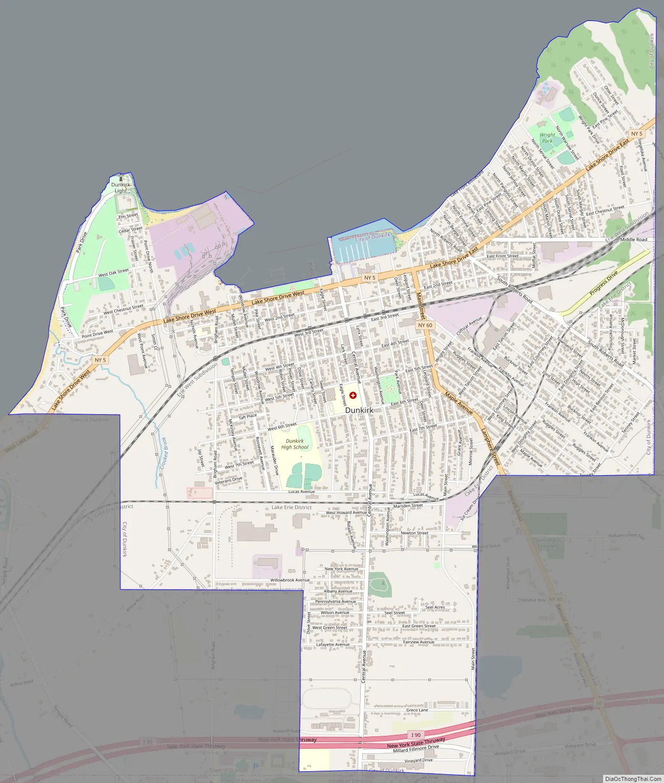
Dunkirk Road Map
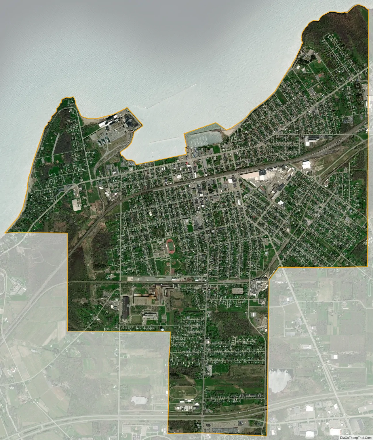
Dunkirk city Satellite Map
Geography
Dunkirk lies on the southeastern shore of Lake Erie and is 45 miles (72 km) southwest of Buffalo.
According to the United States Census Bureau, the city has an area of 4.6 square miles (11.8 km), of which 4.5 square miles (11.7 km) is land and 0.04 square miles (0.1 km), or 1.10%, is water.
See also
Map of New York State and its subdivision:- Albany
- Allegany
- Bronx
- Broome
- Cattaraugus
- Cayuga
- Chautauqua
- Chemung
- Chenango
- Clinton
- Columbia
- Cortland
- Delaware
- Dutchess
- Erie
- Essex
- Franklin
- Fulton
- Genesee
- Greene
- Hamilton
- Herkimer
- Jefferson
- Kings
- Lake Ontario
- Lewis
- Livingston
- Madison
- Monroe
- Montgomery
- Nassau
- New York
- Niagara
- Oneida
- Onondaga
- Ontario
- Orange
- Orleans
- Oswego
- Otsego
- Putnam
- Queens
- Rensselaer
- Richmond
- Rockland
- Saint Lawrence
- Saratoga
- Schenectady
- Schoharie
- Schuyler
- Seneca
- Steuben
- Suffolk
- Sullivan
- Tioga
- Tompkins
- Ulster
- Warren
- Washington
- Wayne
- Westchester
- Wyoming
- Yates
- Alabama
- Alaska
- Arizona
- Arkansas
- California
- Colorado
- Connecticut
- Delaware
- District of Columbia
- Florida
- Georgia
- Hawaii
- Idaho
- Illinois
- Indiana
- Iowa
- Kansas
- Kentucky
- Louisiana
- Maine
- Maryland
- Massachusetts
- Michigan
- Minnesota
- Mississippi
- Missouri
- Montana
- Nebraska
- Nevada
- New Hampshire
- New Jersey
- New Mexico
- New York
- North Carolina
- North Dakota
- Ohio
- Oklahoma
- Oregon
- Pennsylvania
- Rhode Island
- South Carolina
- South Dakota
- Tennessee
- Texas
- Utah
- Vermont
- Virginia
- Washington
- West Virginia
- Wisconsin
- Wyoming