Calcium is a census-designated place (CDP) in Jefferson County, New York, United States. The population was 3,491 as of the 2010 census. The CDP is in the town of Le Ray and includes the hamlets of Calcium and Sanfords Four Corners.
Historic landmarks include the stone house at the intersection of State Route 342 and County Route 138 that once served as the post office for the area, and the Calcium Community Church at the same intersection. The church was built in 1853 by a group of at least three different denominations, including Methodist Episcopal, Christian, and Unitarian. The building was shared by these and various Christian groups over the years, and remains a community church today.
| Name: | Calcium CDP |
|---|---|
| LSAD Code: | 57 |
| LSAD Description: | CDP (suffix) |
| State: | New York |
| County: | Jefferson County |
| Elevation: | 469 ft (143 m) |
| Total Area: | 5.61 sq mi (14.53 km²) |
| Land Area: | 5.61 sq mi (14.52 km²) |
| Water Area: | 0.00 sq mi (0.00 km²) |
| Total Population: | 3,573 |
| Population Density: | 637.24/sq mi (246.02/km²) |
| ZIP code: | 13616 |
| Area code: | 315 |
| FIPS code: | 3611671 |
| GNISfeature ID: | 0945447 |
Online Interactive Map
Click on ![]() to view map in "full screen" mode.
to view map in "full screen" mode.
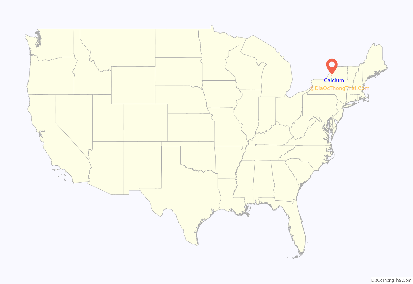
Calcium location map. Where is Calcium CDP?
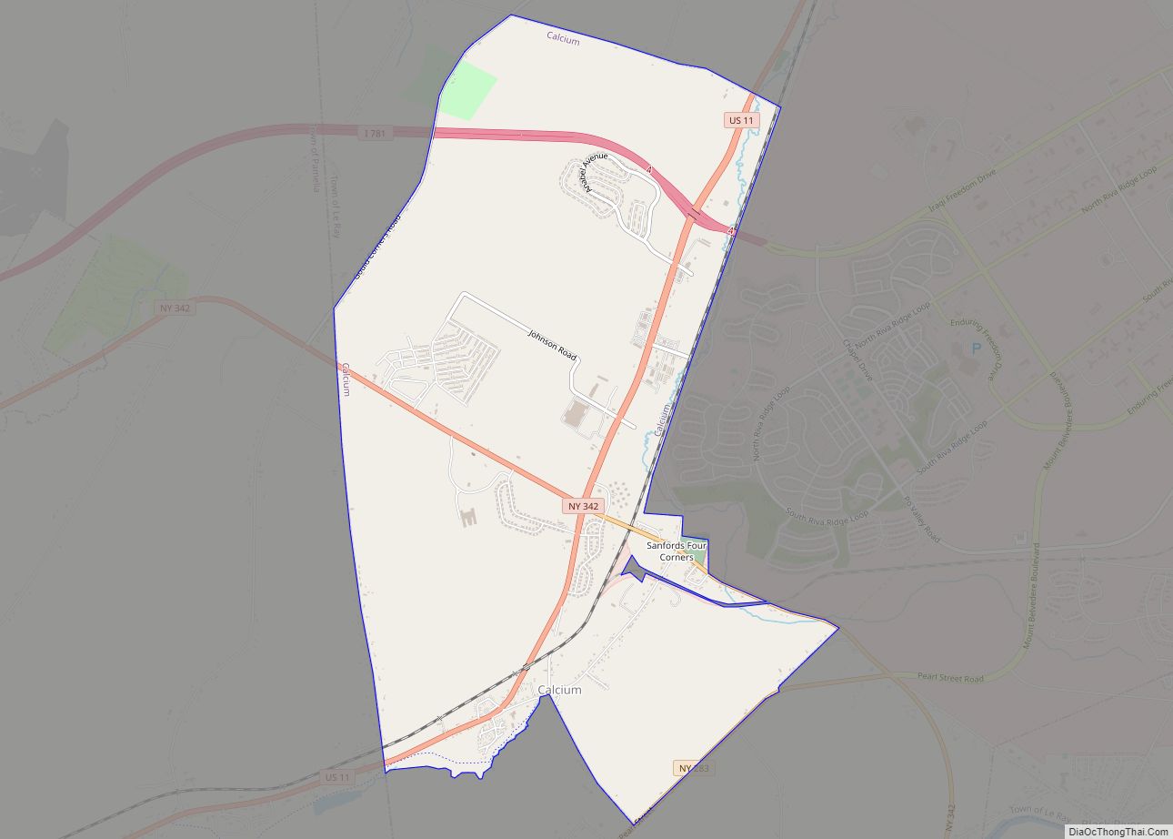
Calcium Road Map
Calcium city Satellite Map
Geography
Calcium is located in central Jefferson County at 44°02′05″N 75°50′32″W / 44.034761°N 75.842114°W / 44.034761; -75.842114, in the western part of the town of Le Ray. It is bordered on the east by the developed part of Fort Drum.
The hamlet of Calcium is in the southern part of the CDP, east of U.S. Route 11, while Sanfords Four Corners is in the central part of the CDP along New York State Route 342 east of US-11. Route 11 leads southwest 5 miles (8 km) into Watertown, the Jefferson county seat, and northeast 31 miles (50 km) to Gouverneur. Route 342 leads east along the south edge of Fort Drum 2.5 miles (4.0 km) to Black River and west 4.5 miles (7.2 km) to Interstate 81. Interstate 781 runs through the northern part of the Calcium CDP, connecting to the east with Iraqi Freedom Drive into Fort Drum and leading west 4 miles (6 km) to I-81.
According to the United States Census Bureau, Calcium CDP has a total area of 5.6 square miles (14.4 km), of which 1.0 acre (4,035 m), or 0.03%, are water.
See also
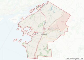
Map of New York State and its subdivision:- Albany
- Allegany
- Bronx
- Broome
- Cattaraugus
- Cayuga
- Chautauqua
- Chemung
- Chenango
- Clinton
- Columbia
- Cortland
- Delaware
- Dutchess
- Erie
- Essex
- Franklin
- Fulton
- Genesee
- Greene
- Hamilton
- Herkimer
- Jefferson
- Kings
- Lake Ontario
- Lewis
- Livingston
- Madison
- Monroe
- Montgomery
- Nassau
- New York
- Niagara
- Oneida
- Onondaga
- Ontario
- Orange
- Orleans
- Oswego
- Otsego
- Putnam
- Queens
- Rensselaer
- Richmond
- Rockland
- Saint Lawrence
- Saratoga
- Schenectady
- Schoharie
- Schuyler
- Seneca
- Steuben
- Suffolk
- Sullivan
- Tioga
- Tompkins
- Ulster
- Warren
- Washington
- Wayne
- Westchester
- Wyoming
- Yates
- Alabama
- Alaska
- Arizona
- Arkansas
- California
- Colorado
- Connecticut
- Delaware
- District of Columbia
- Florida
- Georgia
- Hawaii
- Idaho
- Illinois
- Indiana
- Iowa
- Kansas
- Kentucky
- Louisiana
- Maine
- Maryland
- Massachusetts
- Michigan
- Minnesota
- Mississippi
- Missouri
- Montana
- Nebraska
- Nevada
- New Hampshire
- New Jersey
- New Mexico
- New York
- North Carolina
- North Dakota
- Ohio
- Oklahoma
- Oregon
- Pennsylvania
- Rhode Island
- South Carolina
- South Dakota
- Tennessee
- Texas
- Utah
- Vermont
- Virginia
- Washington
- West Virginia
- Wisconsin
- Wyoming
