Canaseraga is a village in Allegany County, New York, United States. The population was 550 at the 2010 census. The name is derived from a creek that flows past the village, which is reportedly a Seneca term for “lying among milkweeds” or “slippery elms”.
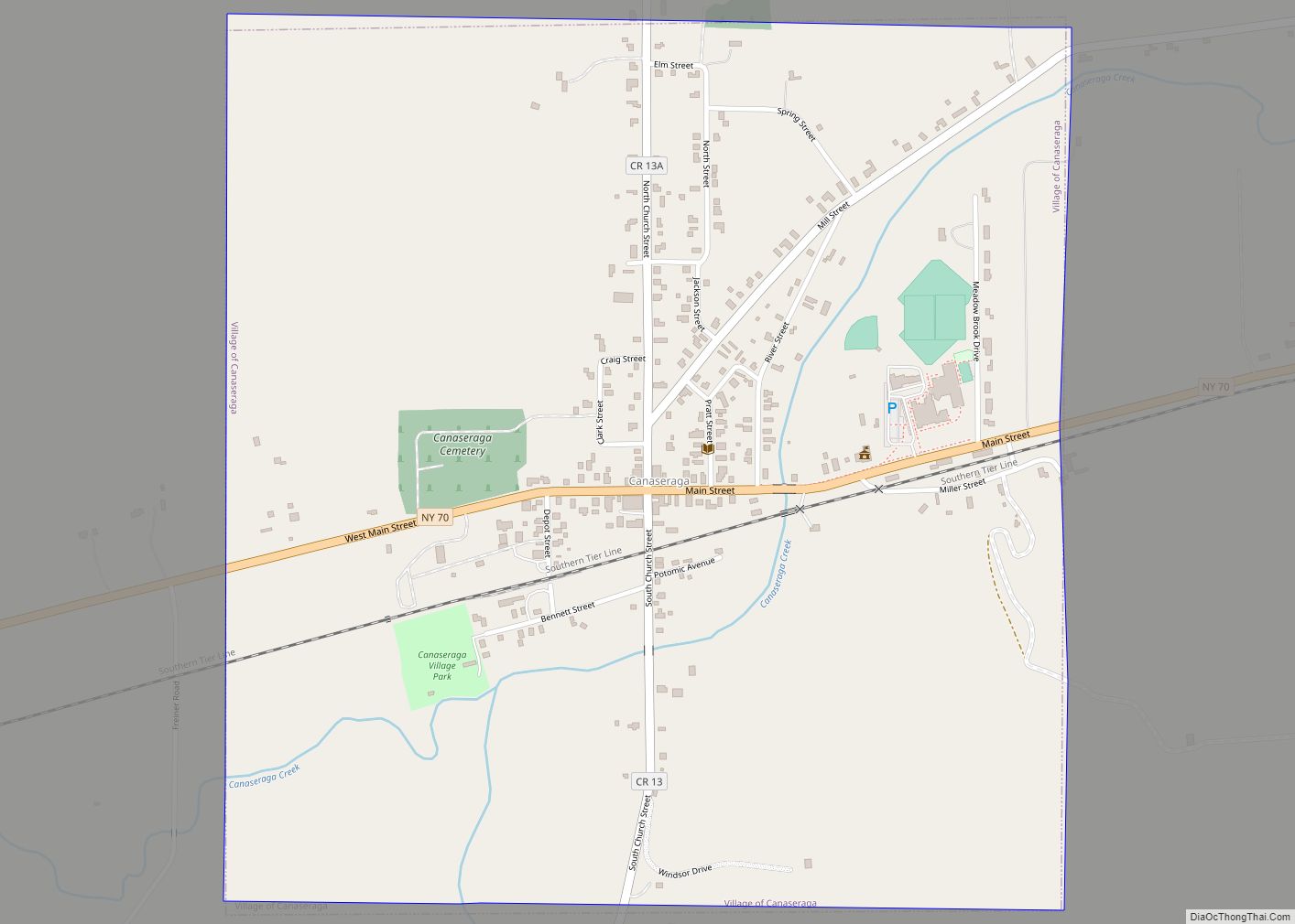
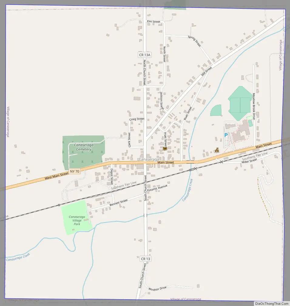
The village lies in the northern part of the town of Burns at the junction of New York State Route 70 and County Road 13.
| Name: | Canaseraga village |
|---|---|
| LSAD Code: | 47 |
| LSAD Description: | village (suffix) |
| State: | New York |
| County: | Allegany County |
| Elevation: | 1,250 ft (381 m) |
| Total Area: | 1.06 sq mi (2.75 km²) |
| Land Area: | 1.06 sq mi (2.75 km²) |
| Water Area: | 0.00 sq mi (0.00 km²) |
| Total Population: | 460 |
| Population Density: | 433.15/sq mi (167.19/km²) |
| ZIP code: | 14822 |
| Area code: | 607 |
| FIPS code: | 3612177 |
| GNISfeature ID: | 0945753 |
| Website: | www.canaseragany.org |
Online Interactive Map
Click on ![]() to view map in "full screen" mode.
to view map in "full screen" mode.
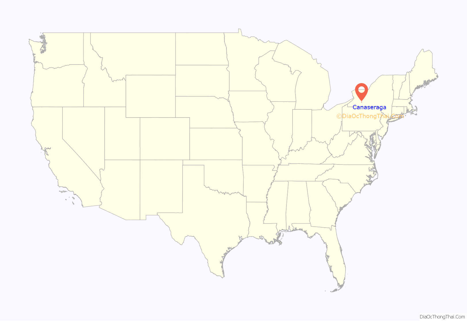
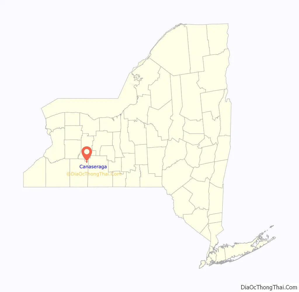
Canaseraga location map. Where is Canaseraga village?
History
The community was one of the original settlements in the town, but was subordinate to the community of Burns until circa 1840. The village of Canaseraga was incorporated in 1892. It was originally called “Whitney Valley”.
As a result of a fire the town is now much smaller than it once was. Many residents travel to nearby communities to shop and attend movies, as Canaseraga is very limited. There is one school, for pre-kindergarten through grade 12. The school offers soccer, basketball, skiing, and baseball/softball), but lacks other sports such as football and track. Canaseraga has a Fall Harvest Festival which offers several activities for families.
The Canaseraga Four Corners Historic District was listed on the NRHP in 2002.
Canaseraga Road Map
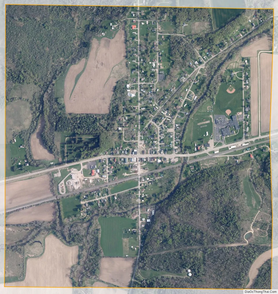
Canaseraga city Satellite Map
Geography
Canaseraga is located at 42°27′45″N 77°46′36″W / 42.46250°N 77.77667°W / 42.46250; -77.77667 (42.462383, -77.776586).
According to the United States Census Bureau, the village has a total area of 1.06 square miles (2.75 km), all land.
The village is next to Canaseraga Creek, a tributary of the Genesee River. Bennett Creek and Slader Creek join Canaseraga Creek west of the village. Canaseraga is just south of Livingston County.
See also
Map of New York State and its subdivision:- Albany
- Allegany
- Bronx
- Broome
- Cattaraugus
- Cayuga
- Chautauqua
- Chemung
- Chenango
- Clinton
- Columbia
- Cortland
- Delaware
- Dutchess
- Erie
- Essex
- Franklin
- Fulton
- Genesee
- Greene
- Hamilton
- Herkimer
- Jefferson
- Kings
- Lake Ontario
- Lewis
- Livingston
- Madison
- Monroe
- Montgomery
- Nassau
- New York
- Niagara
- Oneida
- Onondaga
- Ontario
- Orange
- Orleans
- Oswego
- Otsego
- Putnam
- Queens
- Rensselaer
- Richmond
- Rockland
- Saint Lawrence
- Saratoga
- Schenectady
- Schoharie
- Schuyler
- Seneca
- Steuben
- Suffolk
- Sullivan
- Tioga
- Tompkins
- Ulster
- Warren
- Washington
- Wayne
- Westchester
- Wyoming
- Yates
- Alabama
- Alaska
- Arizona
- Arkansas
- California
- Colorado
- Connecticut
- Delaware
- District of Columbia
- Florida
- Georgia
- Hawaii
- Idaho
- Illinois
- Indiana
- Iowa
- Kansas
- Kentucky
- Louisiana
- Maine
- Maryland
- Massachusetts
- Michigan
- Minnesota
- Mississippi
- Missouri
- Montana
- Nebraska
- Nevada
- New Hampshire
- New Jersey
- New Mexico
- New York
- North Carolina
- North Dakota
- Ohio
- Oklahoma
- Oregon
- Pennsylvania
- Rhode Island
- South Carolina
- South Dakota
- Tennessee
- Texas
- Utah
- Vermont
- Virginia
- Washington
- West Virginia
- Wisconsin
- Wyoming