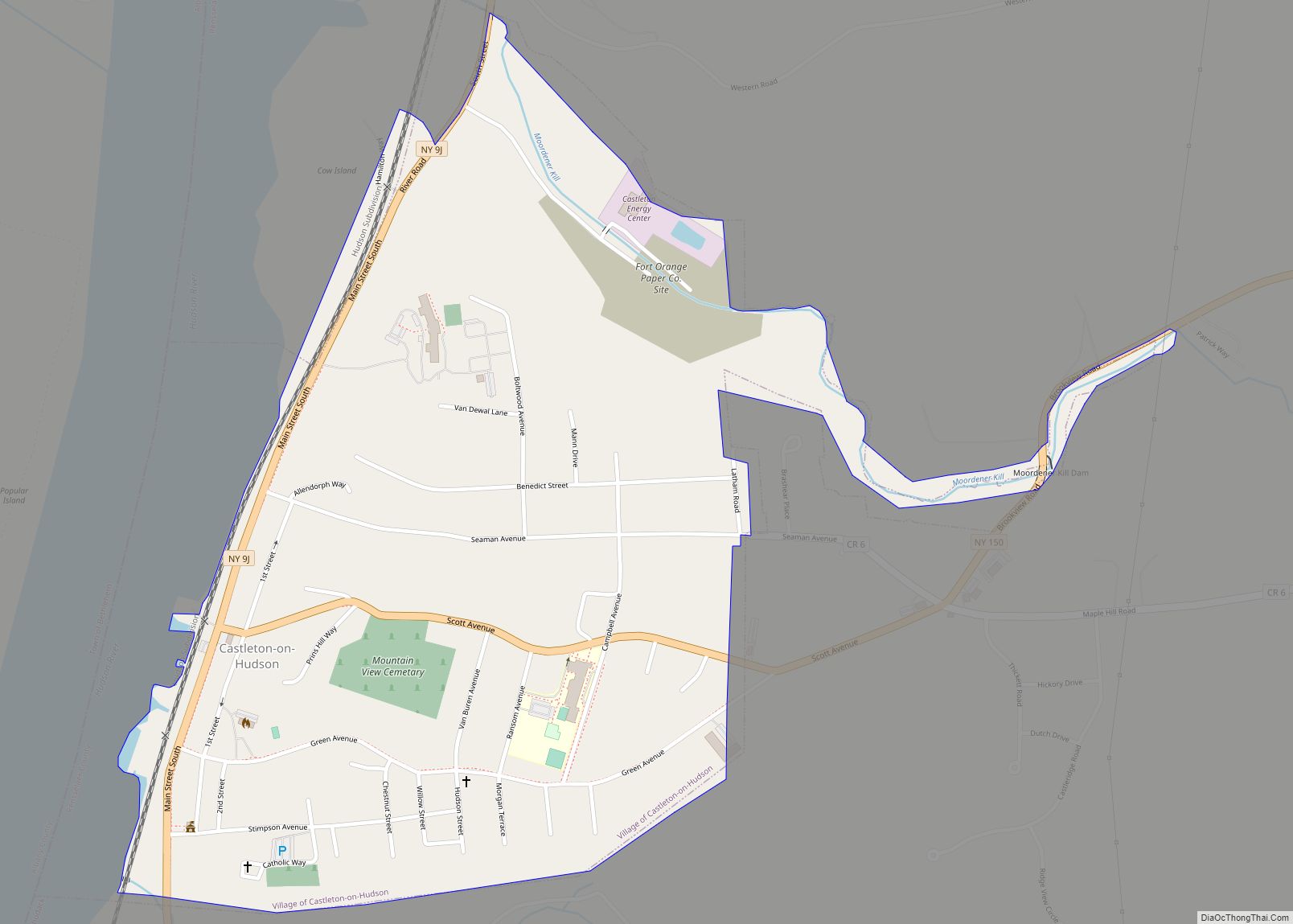
Castleton-on-Hudson is a village located in the southwestern part of the town of Schodack in Rensselaer County, New York, United States. The population was 1,473 at the 2010 census. The village is southeast of Albany.
As of 2019, Castleton-On-Hudson was recognized as a Tree City USA from the Arbor Day Foundation.
| Name: | Castleton-on-Hudson village |
|---|---|
| LSAD Code: | 47 |
| LSAD Description: | village (suffix) |
| State: | New York |
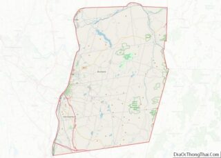
| County: | Rensselaer County |
| Elevation: | 151 ft (46 m) |
| Total Area: | 0.71 sq mi (1.85 km²) |
| Land Area: | 0.71 sq mi (1.85 km²) |
| Water Area: | 0.00 sq mi (0.00 km²) |
| Total Population: | 1,477 |
| Population Density: | 2,068.63/sq mi (799.11/km²) |
| ZIP code: | 12033 |
| Area code: | 518 |
| FIPS code: | 3612870 |
| GNISfeature ID: | 0969967 |
| Website: | www.castleton-on-hudson.org |
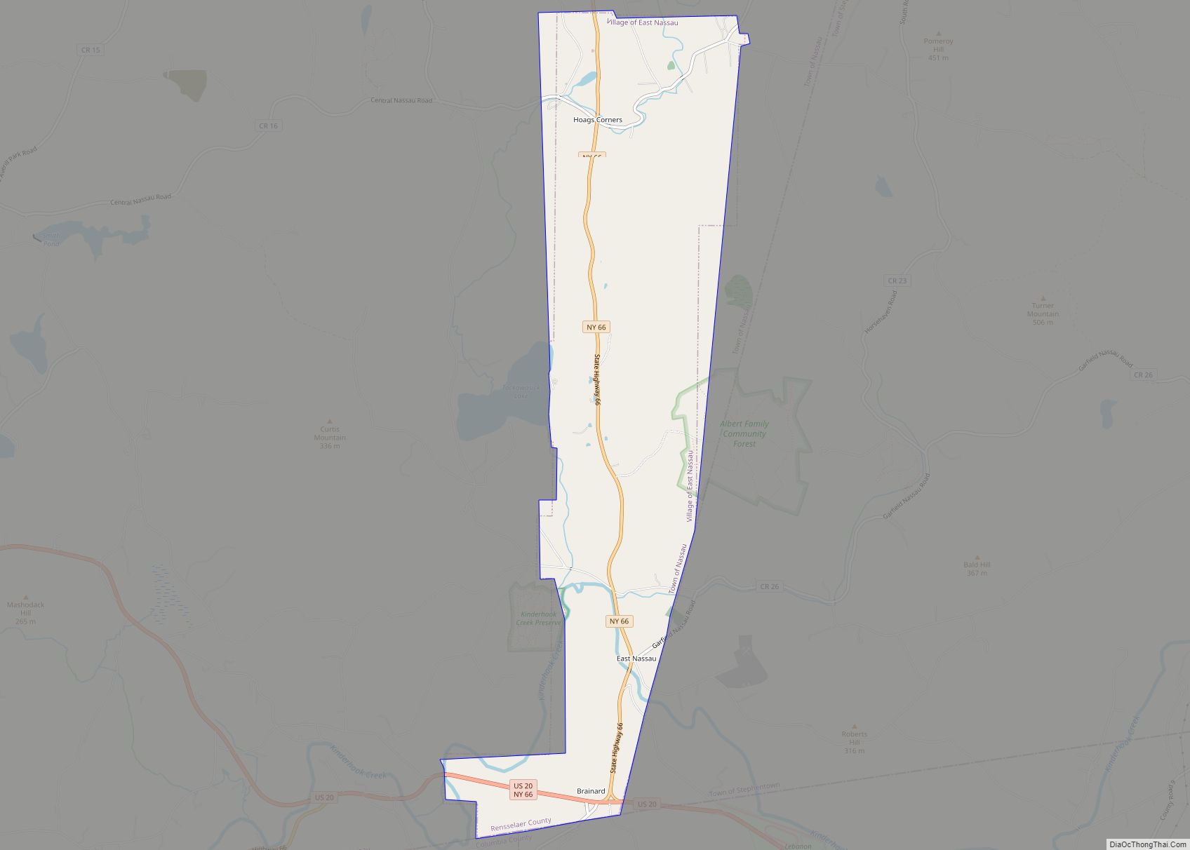
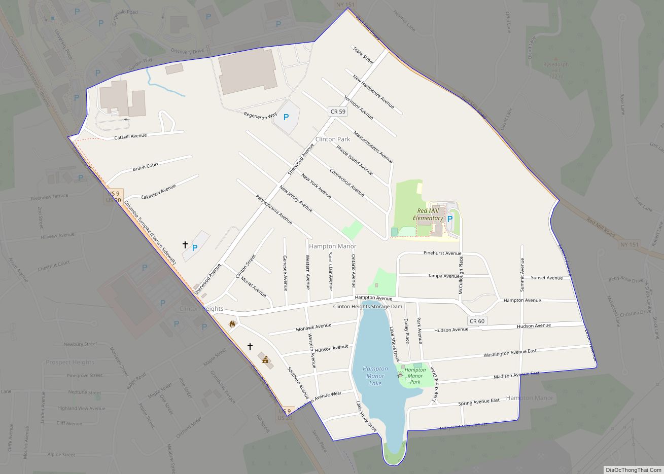
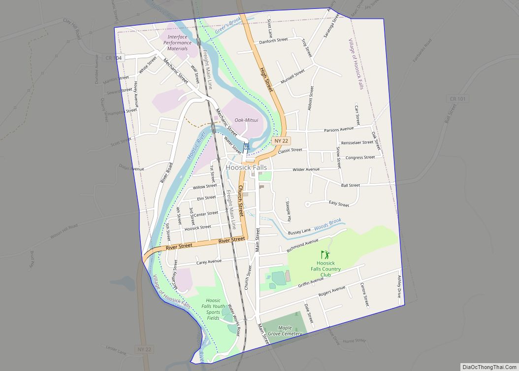
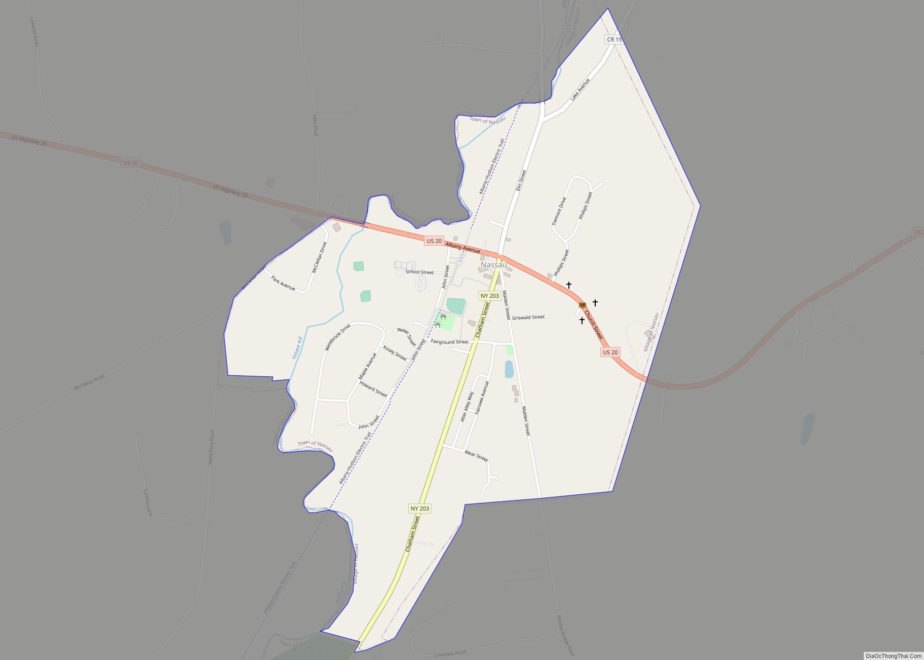
Online Interactive Map
Click on ![]() to view map in "full screen" mode.
to view map in "full screen" mode.
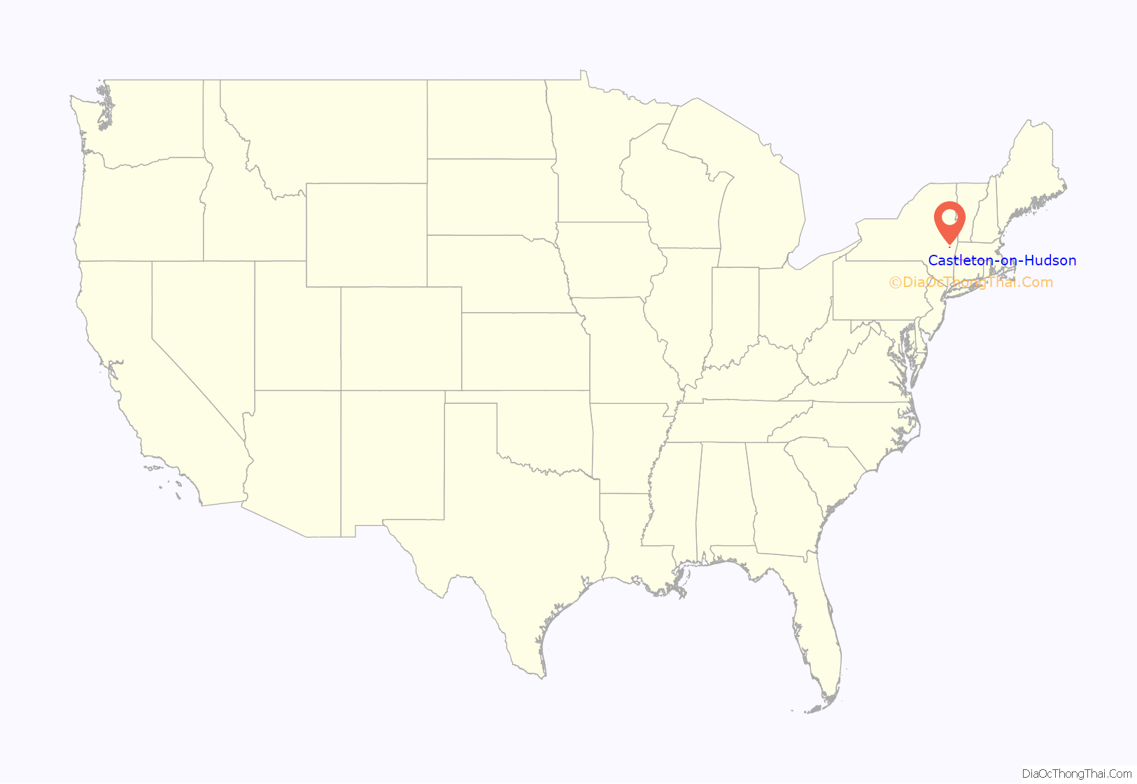
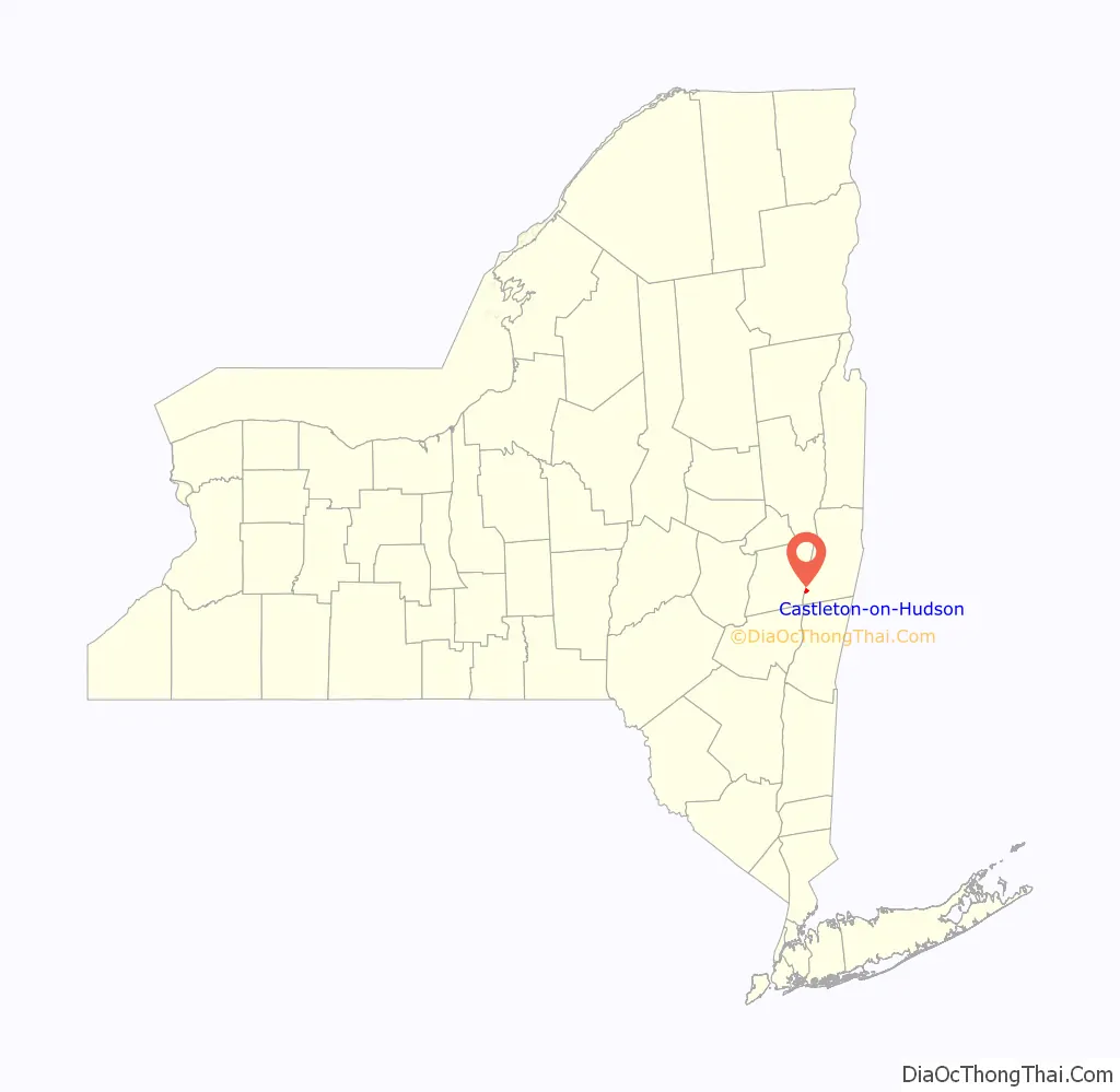
Castleton-on-Hudson location map. Where is Castleton-on-Hudson village?
History
Castleton gets its name from the exploration of the North (Hudson) River by Henry Hudson. While traveling up the river, he came upon a Mahican Indian village noted for a large structure located on a rise above the river. This structure was a storehouse for foodstuffs, but was of such size that it was thought to be a “castle”. Another theory for the derivation of the name “Castleton” comes from Rutherford Hayner’s Troy and Rensselaer County New York: A History (1925). Hayner states “Although the exact location of this landing of Hudson’s has been more or less conjectural, the weight of opinion places it at or near the present site of the village of Castleton, for on Castle Hill, back of the village, stood the dwelling of the chief of the Mohicans.”
The area of Castleton was settled in 1792. When the small village was incorporated into Rensselaer County on 13 April 1827, there were about 100 people living in the area, mostly along the banks of the river. Between 1890 and 1920, the village had a booming economy, with small industry, a hotel, and a small port to gain access to river traffic. However, a large flood destroyed much of the business district in 1936, and the industry took the opportunity to relocate. These days the town is a very residential suburb, with some light agriculture.
The name of the village was changed from Castleton to Castleton-on-Hudson in 1927.
The Gazetteer of the State of New York of 1860 reports that Castleton was formerly known as Morriches Hastie. (JH French, 1860)
The District School No. 3 and Joachim Staats House and Gerrit Staats Ruin are listed on the National Register of Historic Places.
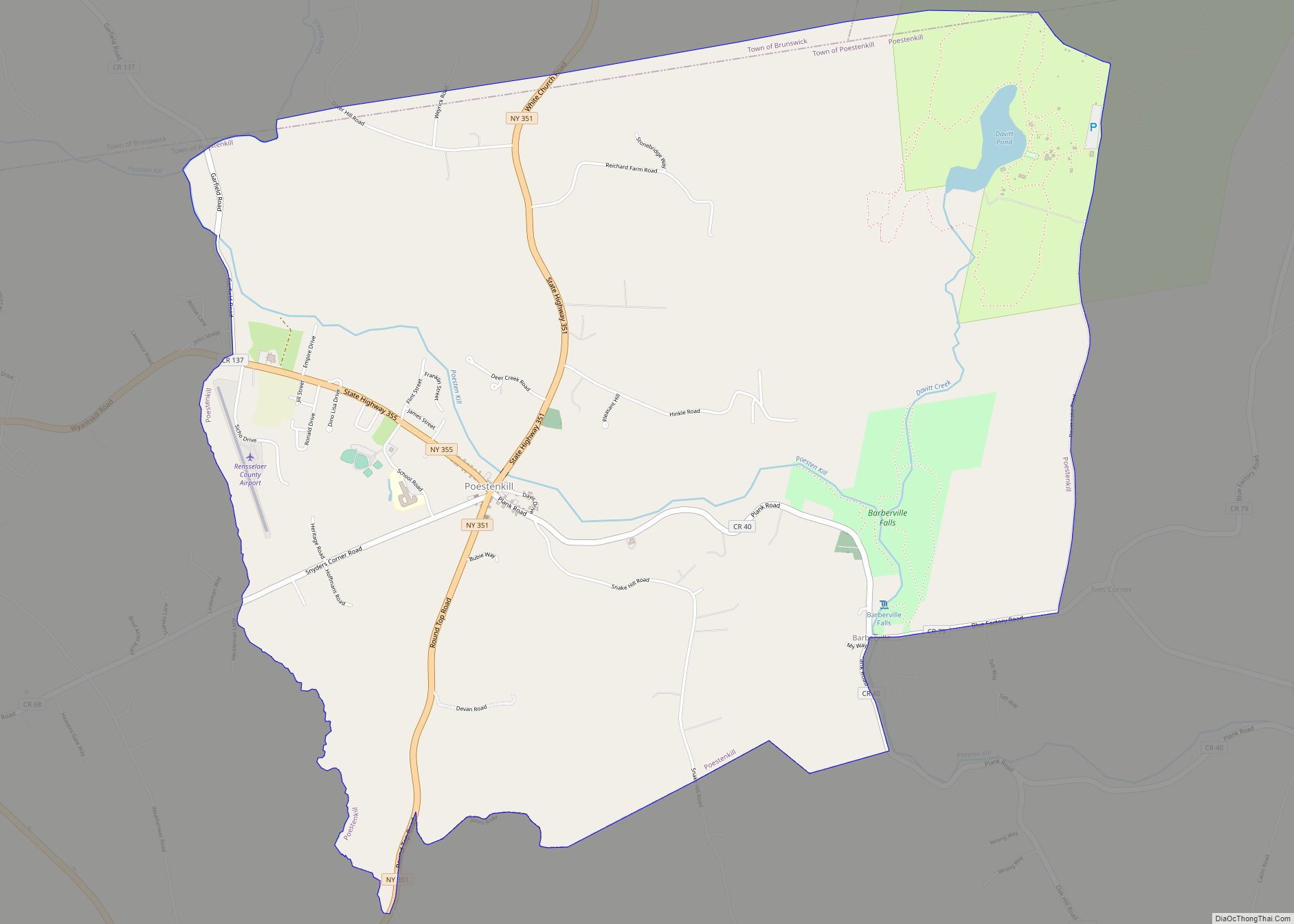
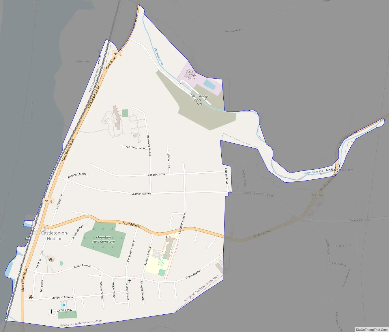
Castleton-on-Hudson Road Map
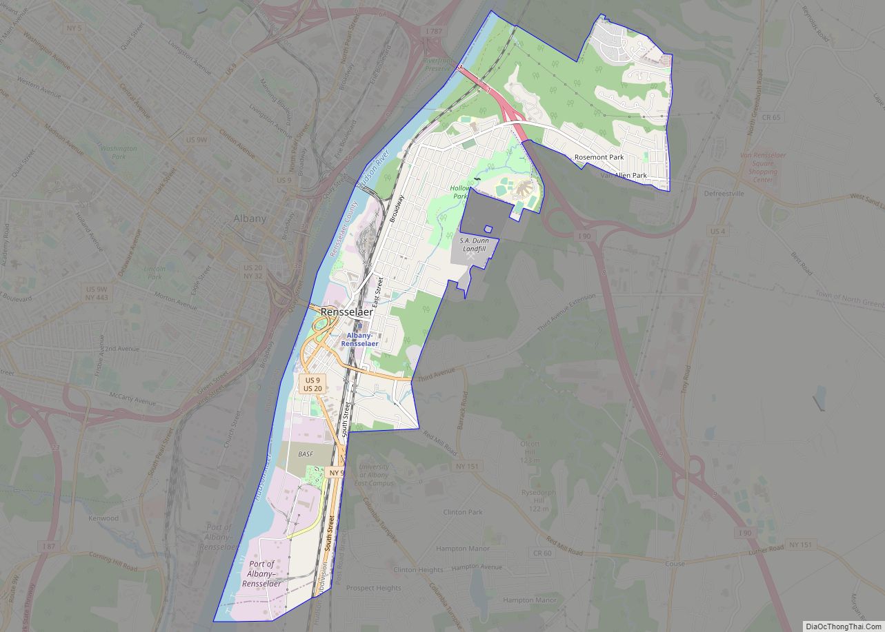
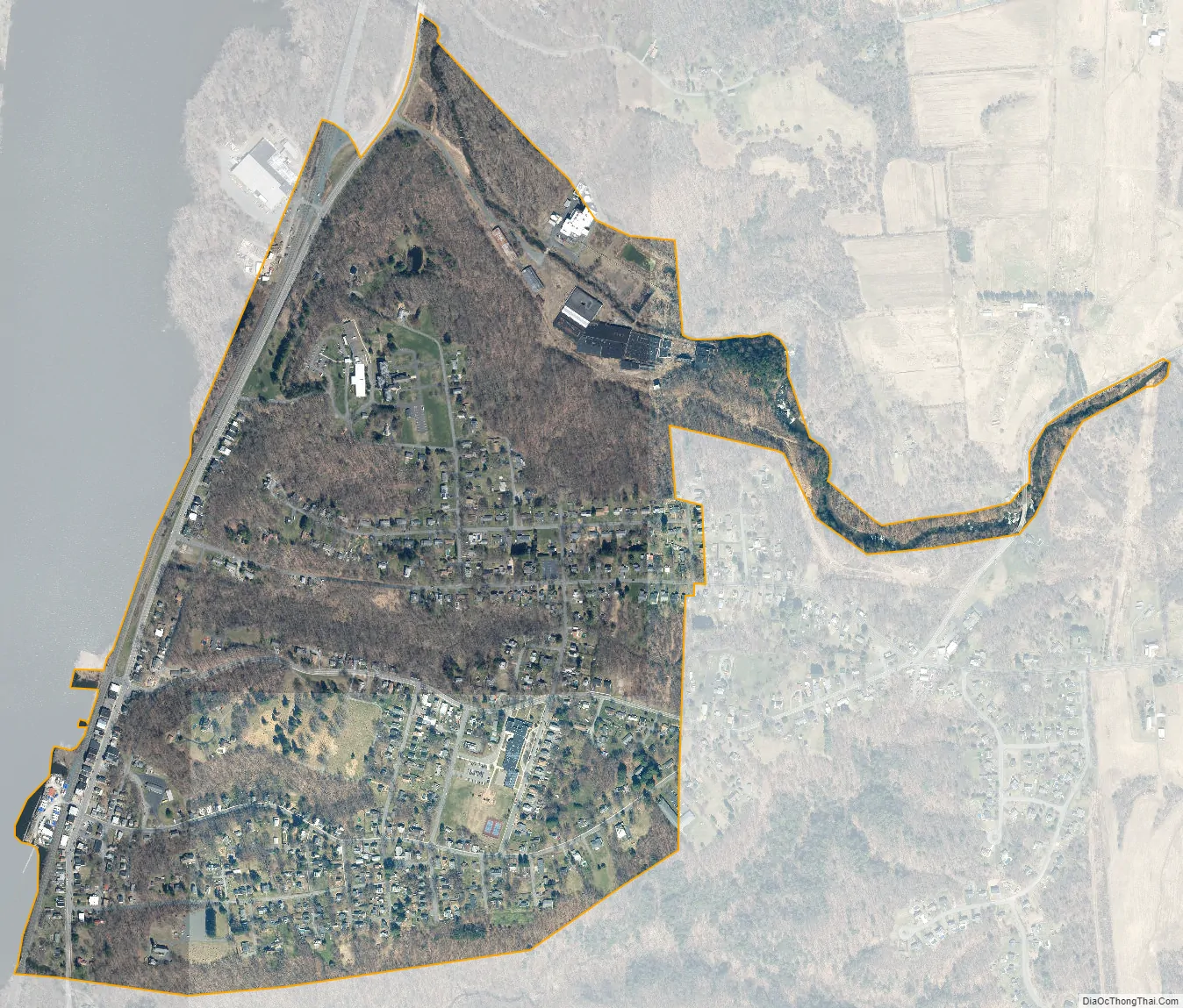
Castleton-on-Hudson city Satellite Map
Geography
According to the United States Census Bureau, the village has a total area of 0.8 square miles (2.1 km), all land.
The village is on the east bank of the Hudson River.
See also
Map of New York State and its subdivision:- Albany
- Allegany
- Bronx
- Broome
- Cattaraugus
- Cayuga
- Chautauqua
- Chemung
- Chenango
- Clinton
- Columbia
- Cortland
- Delaware
- Dutchess
- Erie
- Essex
- Franklin
- Fulton
- Genesee
- Greene
- Hamilton
- Herkimer
- Jefferson
- Kings
- Lake Ontario
- Lewis
- Livingston
- Madison
- Monroe
- Montgomery
- Nassau
- New York
- Niagara
- Oneida
- Onondaga
- Ontario
- Orange
- Orleans
- Oswego
- Otsego
- Putnam
- Queens
- Rensselaer
- Richmond
- Rockland
- Saint Lawrence
- Saratoga
- Schenectady
- Schoharie
- Schuyler
- Seneca
- Steuben
- Suffolk
- Sullivan
- Tioga
- Tompkins
- Ulster
- Warren
- Washington
- Wayne
- Westchester
- Wyoming
- Yates
- Alabama
- Alaska
- Arizona
- Arkansas
- California
- Colorado
- Connecticut
- Delaware
- District of Columbia
- Florida
- Georgia
- Hawaii
- Idaho
- Illinois
- Indiana
- Iowa
- Kansas
- Kentucky
- Louisiana
- Maine
- Maryland
- Massachusetts
- Michigan
- Minnesota
- Mississippi
- Missouri
- Montana
- Nebraska
- Nevada
- New Hampshire
- New Jersey
- New Mexico
- New York
- North Carolina
- North Dakota
- Ohio
- Oklahoma
- Oregon
- Pennsylvania
- Rhode Island
- South Carolina
- South Dakota
- Tennessee
- Texas
- Utah
- Vermont
- Virginia
- Washington
- West Virginia
- Wisconsin
- Wyoming