Celoron (/ˈsɛlərɒn/ SEL-ər-on) is a village in Chautauqua County, New York, United States. It is part of the town of Ellicott and sits on the west boundary of the city of Jamestown. The population of Celoron was 1,082 at the 2020 census.
| Name: | Celoron village |
|---|---|
| LSAD Code: | 47 |
| LSAD Description: | village (suffix) |
| State: | New York |
| County: | Chautauqua County |
| Elevation: | 1,319 ft (402 m) |
| Total Area: | 0.75 sq mi (1.94 km²) |
| Land Area: | 0.75 sq mi (1.94 km²) |
| Water Area: | 0.00 sq mi (0.00 km²) |
| Total Population: | 1,069 |
| Population Density: | 1,429.14/sq mi (552.05/km²) |
| ZIP code: | 14720 |
| Area code: | 716 |
| FIPS code: | 3613288 |
| GNISfeature ID: | 0946168 |
| Website: | celoronny.org |
Online Interactive Map
Click on ![]() to view map in "full screen" mode.
to view map in "full screen" mode.
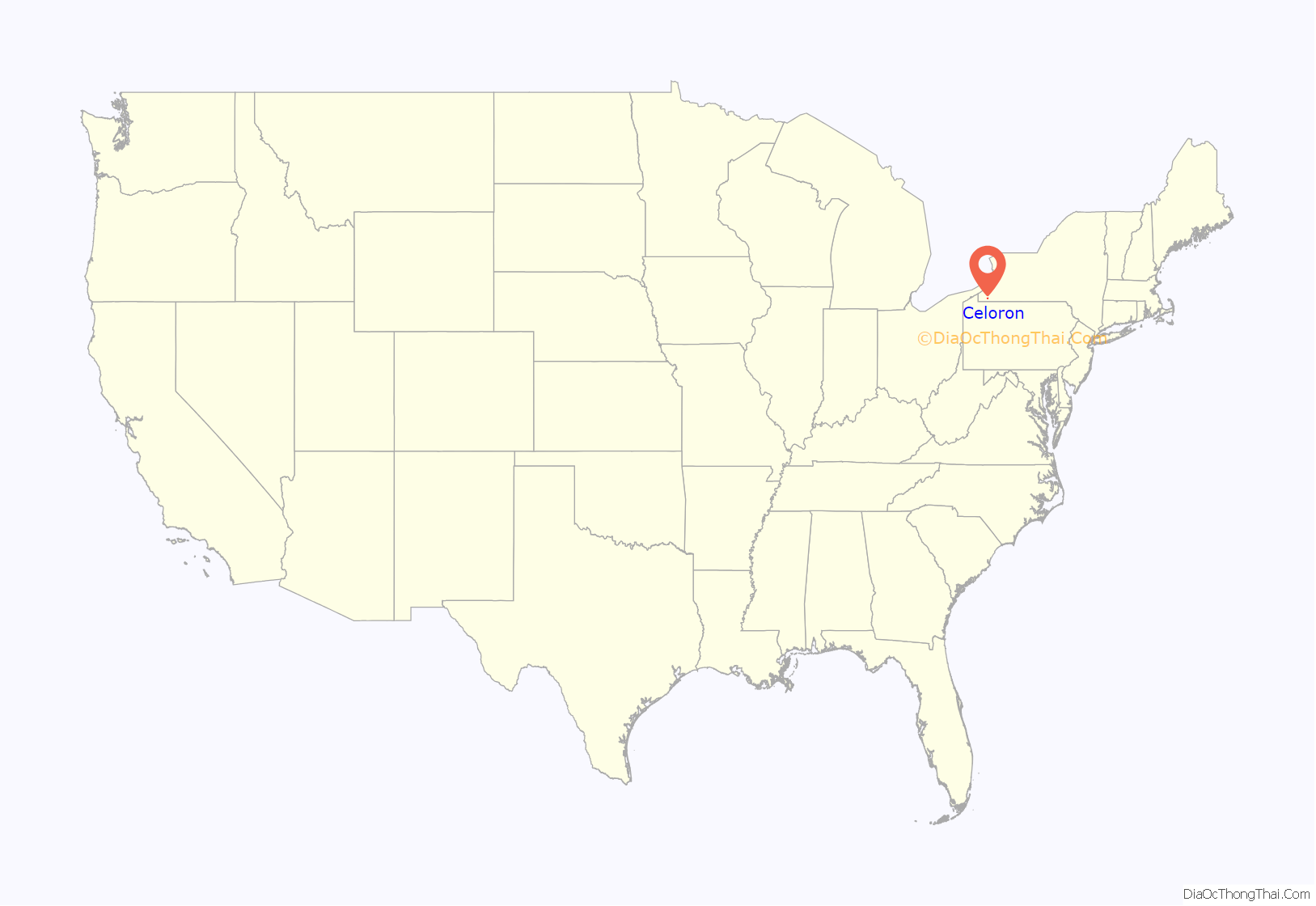
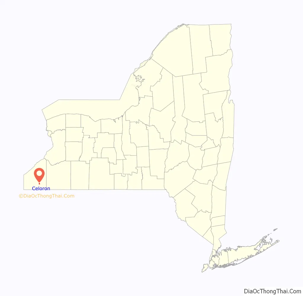
Celoron location map. Where is Celoron village?
History
Celoron Park was an amusement park, built by the Broadhead family in either 1893 or 1894, prior to the formation of the village. Celoron Park was designed with inspiration from the amusement parks at Coney Island and Atlantic City. Celoron Park closed in 1962.
The village of Celoron was incorporated in 1896. The name of the village comes from that of the French officer and explorer of Ohio – Pierre Joseph Céloron de Blainville.
Beginning in 1898, it was the home of the Acme Giants baseball team.
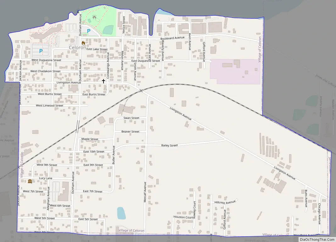
Celoron Road Map
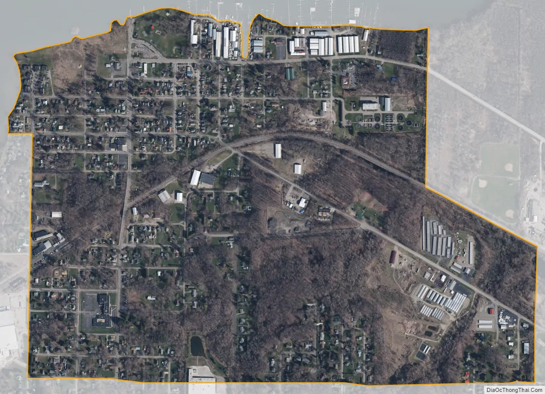
Celoron city Satellite Map
Geography
Celoron is located in the western part of the town of Ellicott at 42°6′24″N 79°16′53″W / 42.10667°N 79.28139°W / 42.10667; -79.28139 (42.106778, -79.281414), on the south shore of Chautauqua Lake. It is bordered to the east by the city of Jamestown and to the south and west by unincorporated parts of the town of Ellicott (designated Jamestown West by the Census Bureau).
According to the United States Census Bureau, the village has a total area of 1.9 square kilometres (0.73 sq mi), all land.
See also
Map of New York State and its subdivision:- Albany
- Allegany
- Bronx
- Broome
- Cattaraugus
- Cayuga
- Chautauqua
- Chemung
- Chenango
- Clinton
- Columbia
- Cortland
- Delaware
- Dutchess
- Erie
- Essex
- Franklin
- Fulton
- Genesee
- Greene
- Hamilton
- Herkimer
- Jefferson
- Kings
- Lake Ontario
- Lewis
- Livingston
- Madison
- Monroe
- Montgomery
- Nassau
- New York
- Niagara
- Oneida
- Onondaga
- Ontario
- Orange
- Orleans
- Oswego
- Otsego
- Putnam
- Queens
- Rensselaer
- Richmond
- Rockland
- Saint Lawrence
- Saratoga
- Schenectady
- Schoharie
- Schuyler
- Seneca
- Steuben
- Suffolk
- Sullivan
- Tioga
- Tompkins
- Ulster
- Warren
- Washington
- Wayne
- Westchester
- Wyoming
- Yates
- Alabama
- Alaska
- Arizona
- Arkansas
- California
- Colorado
- Connecticut
- Delaware
- District of Columbia
- Florida
- Georgia
- Hawaii
- Idaho
- Illinois
- Indiana
- Iowa
- Kansas
- Kentucky
- Louisiana
- Maine
- Maryland
- Massachusetts
- Michigan
- Minnesota
- Mississippi
- Missouri
- Montana
- Nebraska
- Nevada
- New Hampshire
- New Jersey
- New Mexico
- New York
- North Carolina
- North Dakota
- Ohio
- Oklahoma
- Oregon
- Pennsylvania
- Rhode Island
- South Carolina
- South Dakota
- Tennessee
- Texas
- Utah
- Vermont
- Virginia
- Washington
- West Virginia
- Wisconsin
- Wyoming