Chaumont (/ʃəˈmoʊ/ shə-MOH) is a village in Jefferson County, New York, United States. Its population was 624 at the 2010 census. The village is named for Jacques-Donatien Le Ray de Chaumont, son of Benjamin Franklin’s landlord and friend at Passy in France. The village of Chaumont is in the town of Lyme and is northwest of Watertown.
| Name: | Chaumont village |
|---|---|
| LSAD Code: | 47 |
| LSAD Description: | village (suffix) |
| State: | New York |
| County: | Jefferson County |
| Elevation: | 289 ft (88 m) |
| Total Area: | 1.08 sq mi (2.79 km²) |
| Land Area: | 0.98 sq mi (2.55 km²) |
| Water Area: | 0.09 sq mi (0.24 km²) |
| Total Population: | 615 |
| Population Density: | 625.64/sq mi (241.45/km²) |
| ZIP code: | 13622 |
| Area code: | 315 |
| FIPS code: | 3614036 |
| GNISfeature ID: | 0969990 |
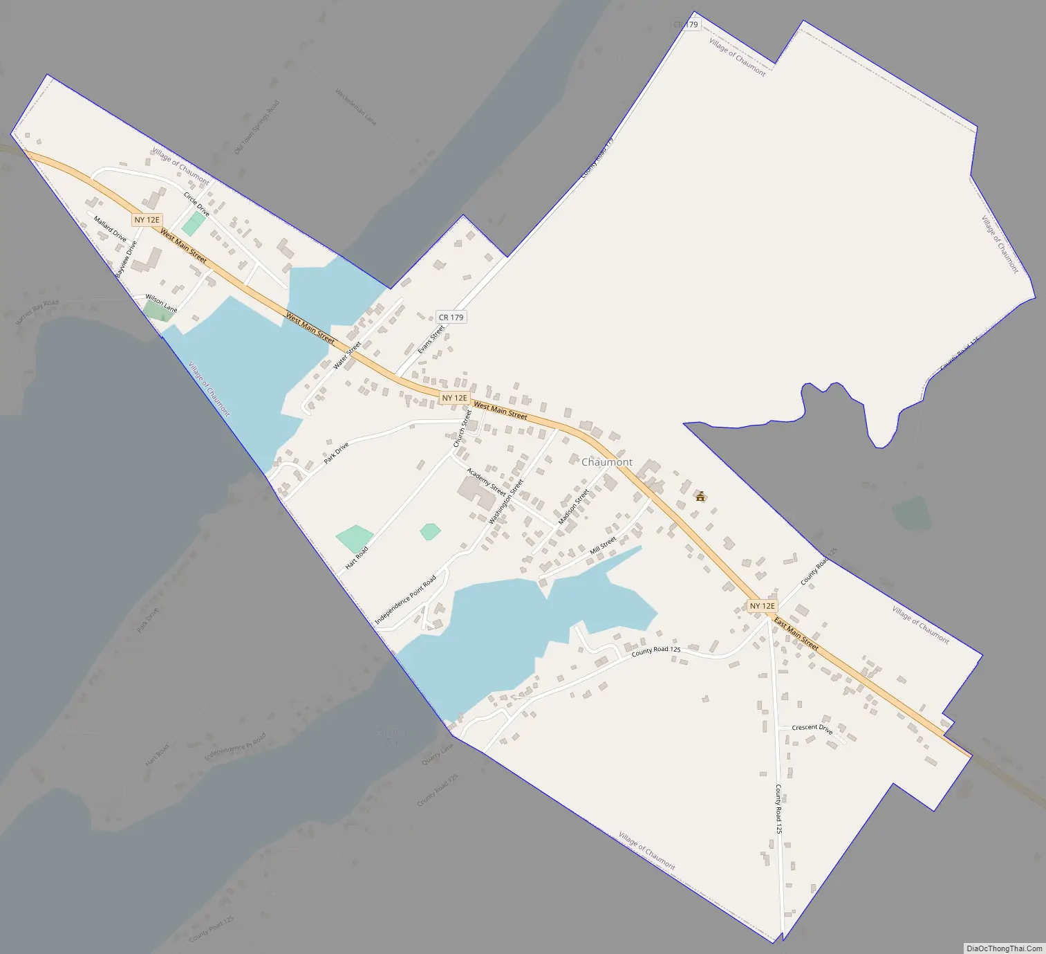
Online Interactive Map
Click on ![]() to view map in "full screen" mode.
to view map in "full screen" mode.
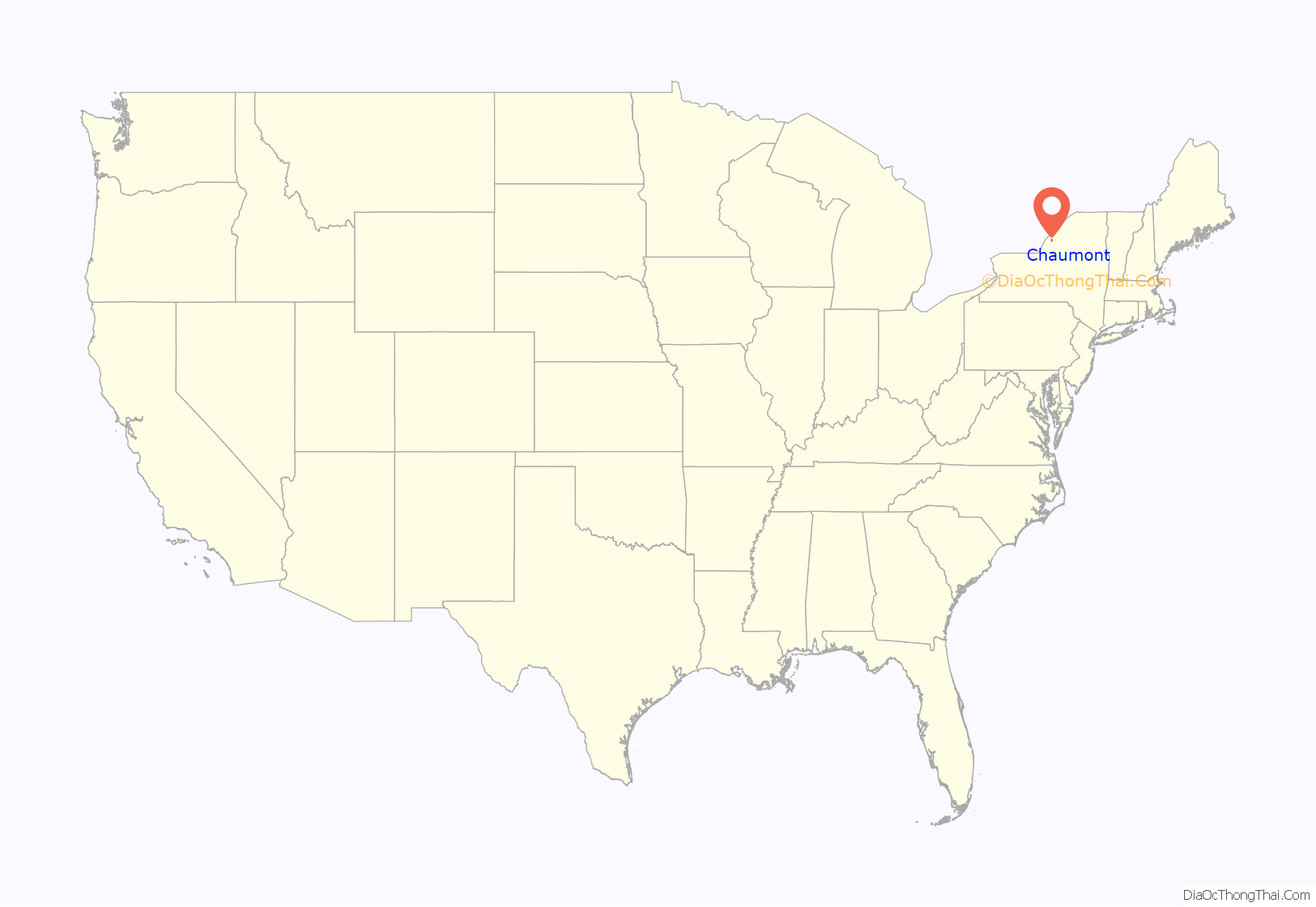
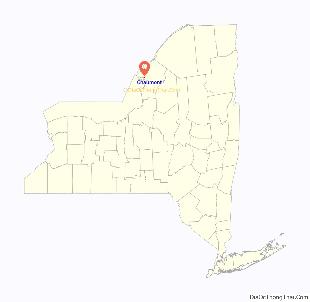
Chaumont location map. Where is Chaumont village?
History
In 1750, Ray had bought the Chaumont castle (named from the Old French for “bald hill”, and built in two periods around 1500) in the Loire Valley of France. (As of 2009, the village near it is called Chaumont-sur-Loire to distinguish it from the many other Chaumonts in France.) His son, known as James Leray or James Leray Chaumont, travelled to the United States and later settled there.
The first European-descended settlement of the village began in 1802, replacing an unsatisfactory site chosen the previous year. The economy of the early village was based on fishing and ship building.
In July 1853, the community contained about fifty dwellings, along with other structures. Chaumont was incorporated as a village in 1874, and its historic core was listed on the National Register of Historic Places in 1990 as the Chaumont Historic District. The village has twice been proposed to be dissolved into the surrounding town of Lyme. The first dissolution referendum was defeated by a margin of 129–72 in March 1999; a second attempt was rejected by a 145–102 margin on November 6, 2012.
In addition to the Chaumont Historic District, the Cedar Grove Cemetery, Chaumont Grange Hall and Dairymen’s League Building, Chaumont House, Chaumont Railroad Station, George Brothers Building, George House, and Menzo Wheeler House are listed on the National Register of Historic Places.
Chaumont Road Map
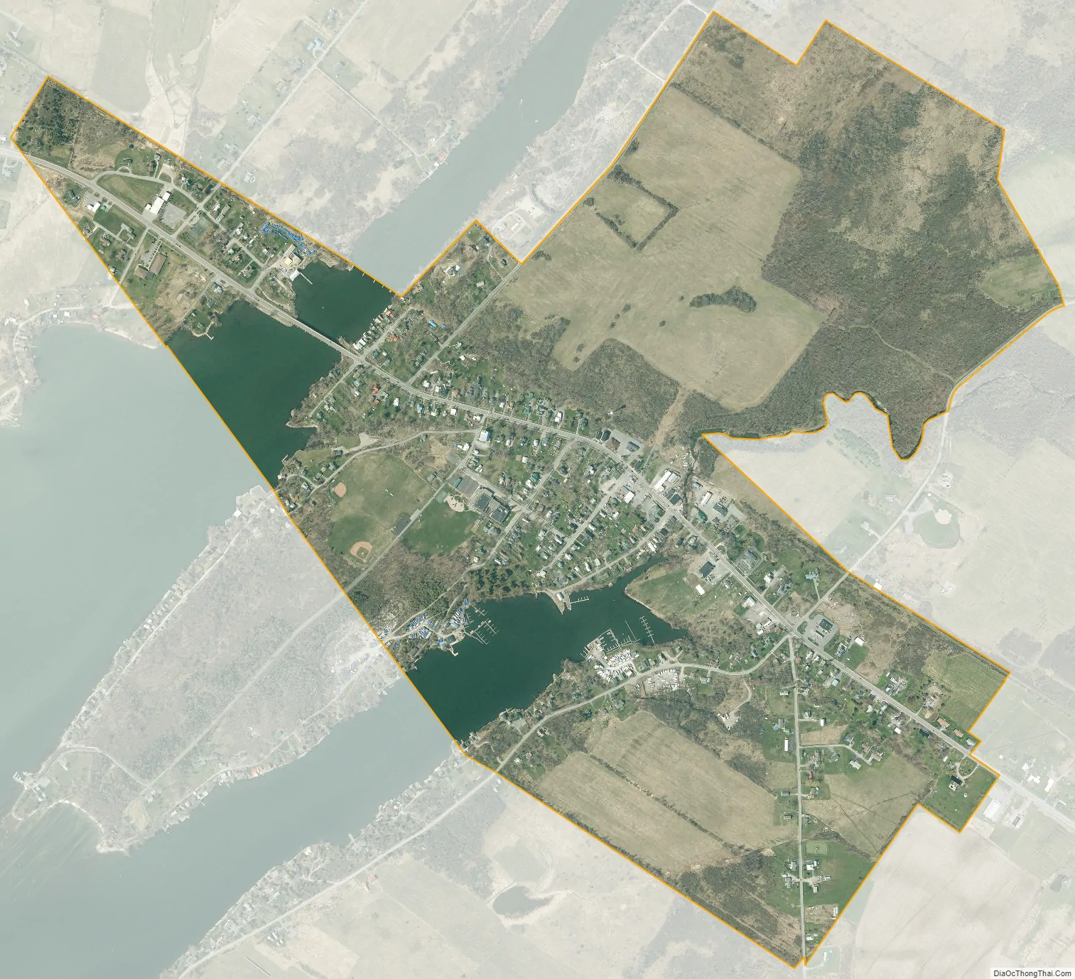
Chaumont city Satellite Map
Geography
Chaumont is in the west-central part of Jefferson County, in the northeastern portion of the town of Lyme. According to the United States Census Bureau, the village has a total area of 1.1 square miles (2.8 km), of which 0.97 square miles (2.5 km) are land and 0.1 square miles (0.2 km), or 8.78%, are water.
The village is on the south side of the Chaumont River, where it empties into Chaumont Bay, an arm of Lake Ontario. Much of the village is on a peninsula, which ends at Independence Point.
New York State Route 12E passes through the village as Main Street. The highway leads southeast 13 miles (21 km) to Watertown, the county seat, and northwest 12 miles (19 km) to Cape Vincent on the St. Lawrence River. County Route 179 (Evans Street) enters the village from the northeast and leads 6 miles (10 km) to Depauville.
See also
Map of New York State and its subdivision:- Albany
- Allegany
- Bronx
- Broome
- Cattaraugus
- Cayuga
- Chautauqua
- Chemung
- Chenango
- Clinton
- Columbia
- Cortland
- Delaware
- Dutchess
- Erie
- Essex
- Franklin
- Fulton
- Genesee
- Greene
- Hamilton
- Herkimer
- Jefferson
- Kings
- Lake Ontario
- Lewis
- Livingston
- Madison
- Monroe
- Montgomery
- Nassau
- New York
- Niagara
- Oneida
- Onondaga
- Ontario
- Orange
- Orleans
- Oswego
- Otsego
- Putnam
- Queens
- Rensselaer
- Richmond
- Rockland
- Saint Lawrence
- Saratoga
- Schenectady
- Schoharie
- Schuyler
- Seneca
- Steuben
- Suffolk
- Sullivan
- Tioga
- Tompkins
- Ulster
- Warren
- Washington
- Wayne
- Westchester
- Wyoming
- Yates
- Alabama
- Alaska
- Arizona
- Arkansas
- California
- Colorado
- Connecticut
- Delaware
- District of Columbia
- Florida
- Georgia
- Hawaii
- Idaho
- Illinois
- Indiana
- Iowa
- Kansas
- Kentucky
- Louisiana
- Maine
- Maryland
- Massachusetts
- Michigan
- Minnesota
- Mississippi
- Missouri
- Montana
- Nebraska
- Nevada
- New Hampshire
- New Jersey
- New Mexico
- New York
- North Carolina
- North Dakota
- Ohio
- Oklahoma
- Oregon
- Pennsylvania
- Rhode Island
- South Carolina
- South Dakota
- Tennessee
- Texas
- Utah
- Vermont
- Virginia
- Washington
- West Virginia
- Wisconsin
- Wyoming


