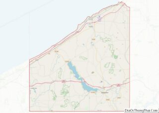
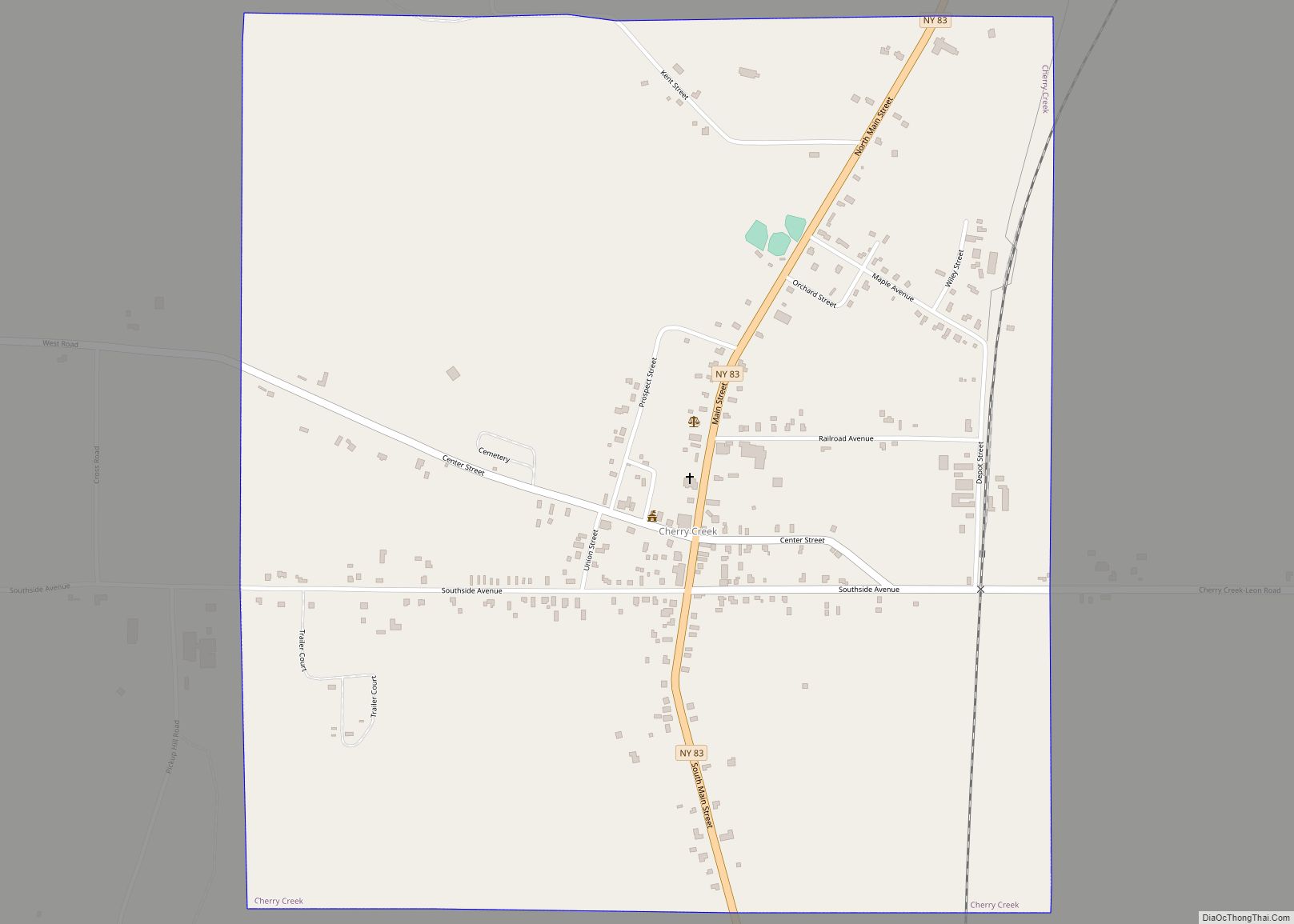
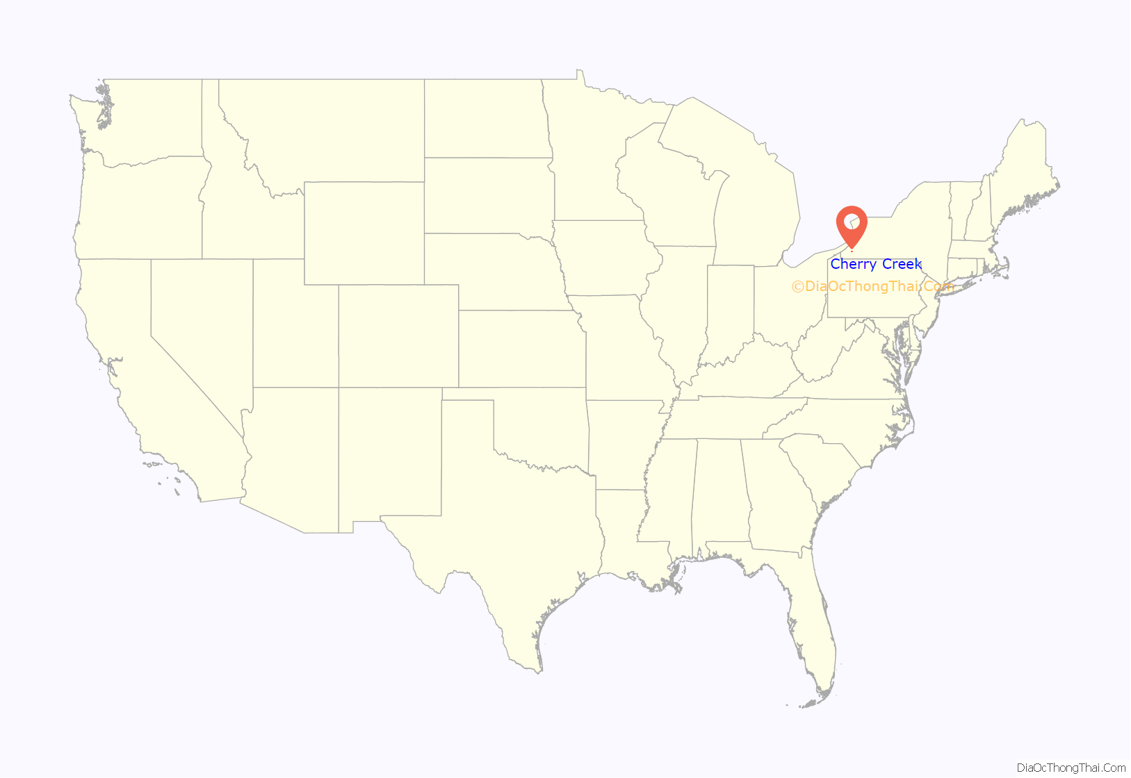
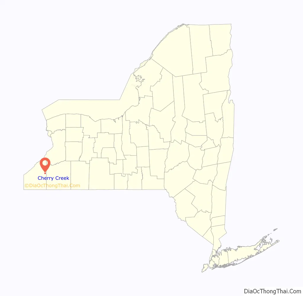
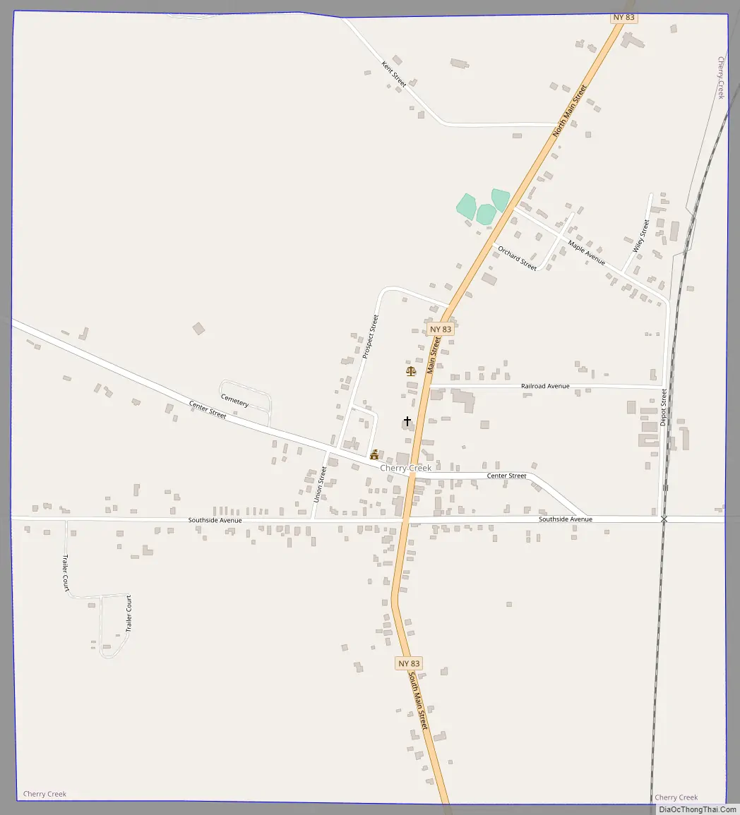
Cherry Creek is a hamlet (and census-designated place) in Chautauqua County, New York, United States. The population was 461 at the 2010 census, when it was an incorporated village. The hamlet is within the town of Cherry Creek near the east border of the county. It is located on New York State Route 83 and a stream called Cherry Creek.
| Name: | Cherry Creek village |
|---|---|
| LSAD Code: | 47 |
| LSAD Description: | village (suffix) |
| State: | New York |
| County: | Chautauqua County |
| Elevation: | 1,302 ft (397 m) |
| Total Area: | 1.36 sq mi (3.53 km²) |
| Land Area: | 1.36 sq mi (3.53 km²) |
| Water Area: | 0.00 sq mi (0.00 km²) |
| Total Population: | 409 |
| Population Density: | 300.29/sq mi (115.91/km²) |
| ZIP code: | 14723 |
| Area code: | 716 |
| FIPS code: | 3615187 |
| GNISfeature ID: | 0946509 |
Online Interactive Map
Click on ![]() to view map in "full screen" mode.
to view map in "full screen" mode.
Cherry Creek location map. Where is Cherry Creek village?
History
The hamlet is the site of the earliest settlement of the town, in 1815. The settlement got its name from a cherry tree planted by Holland Land Company surveyor Joshua Bentley to mark the center of the new town. It was formally incorporated as a village in 1893. On February 2, 2017, residents of the village voted 70 to 32 in favor of dissolving into the surrounding town of Cherry Creek. The village was dissolved on December 31, 2017.
Cherry Creek Road Map
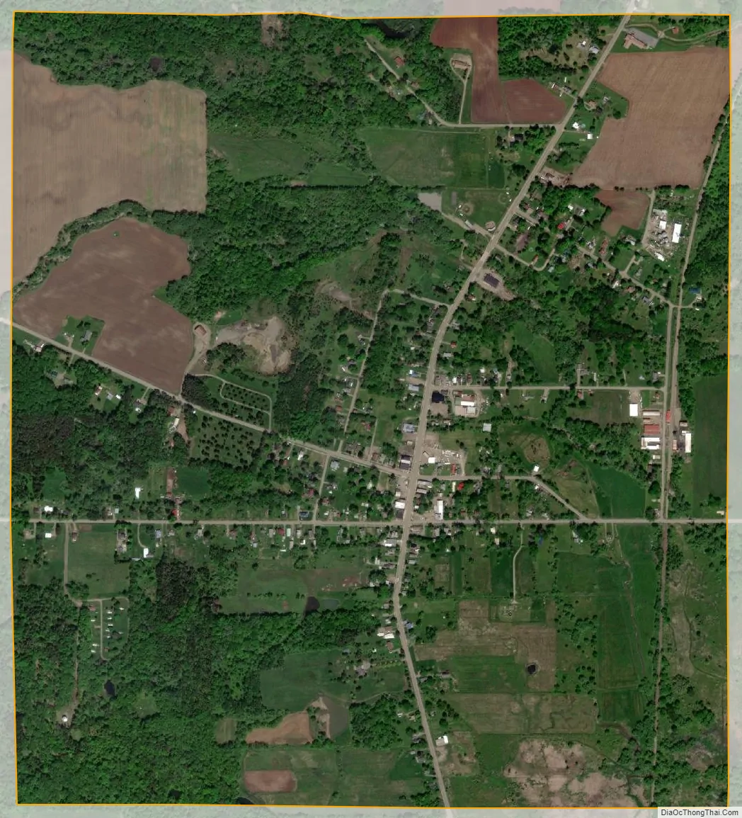
Cherry Creek city Satellite Map
Geography
Cherry Creek is located in eastern Chautauqua County at 42°17′40″N 79°5′50″W / 42.29444°N 79.09722°W / 42.29444; -79.09722 (42.294654, -79.097353), east of the geographic center of the town of Cherry Creek. A stream by the same name flows east through the hamlet towards Conewango Creek, which in turn is a tributary of the Allegheny River and part of the Mississippi River basin.
According to the United States Census Bureau, the village in the 2010 census has a total area of 1.4 square miles (3.5 km), all land.
See also
Map of New York State and its subdivision:- Albany
- Allegany
- Bronx
- Broome
- Cattaraugus
- Cayuga
- Chautauqua
- Chemung
- Chenango
- Clinton
- Columbia
- Cortland
- Delaware
- Dutchess
- Erie
- Essex
- Franklin
- Fulton
- Genesee
- Greene
- Hamilton
- Herkimer
- Jefferson
- Kings
- Lake Ontario
- Lewis
- Livingston
- Madison
- Monroe
- Montgomery
- Nassau
- New York
- Niagara
- Oneida
- Onondaga
- Ontario
- Orange
- Orleans
- Oswego
- Otsego
- Putnam
- Queens
- Rensselaer
- Richmond
- Rockland
- Saint Lawrence
- Saratoga
- Schenectady
- Schoharie
- Schuyler
- Seneca
- Steuben
- Suffolk
- Sullivan
- Tioga
- Tompkins
- Ulster
- Warren
- Washington
- Wayne
- Westchester
- Wyoming
- Yates
- Alabama
- Alaska
- Arizona
- Arkansas
- California
- Colorado
- Connecticut
- Delaware
- District of Columbia
- Florida
- Georgia
- Hawaii
- Idaho
- Illinois
- Indiana
- Iowa
- Kansas
- Kentucky
- Louisiana
- Maine
- Maryland
- Massachusetts
- Michigan
- Minnesota
- Mississippi
- Missouri
- Montana
- Nebraska
- Nevada
- New Hampshire
- New Jersey
- New Mexico
- New York
- North Carolina
- North Dakota
- Ohio
- Oklahoma
- Oregon
- Pennsylvania
- Rhode Island
- South Carolina
- South Dakota
- Tennessee
- Texas
- Utah
- Vermont
- Virginia
- Washington
- West Virginia
- Wisconsin
- Wyoming