Clayton is a village in the town of Clayton in Jefferson County, New York, United States. The village population was 1,978 at the 2010 census.
Clayton is the home of the Antique Boat Museum and Clayton Opera House. The village is a summer resort, offering galleries, boutiques and quality services to summer visitors.
| Name: | Clayton village |
|---|---|
| LSAD Code: | 47 |
| LSAD Description: | village (suffix) |
| State: | New York |
| County: | Jefferson County |
| Elevation: | 276 ft (84 m) |
| Total Area: | 2.58 sq mi (6.67 km²) |
| Land Area: | 1.60 sq mi (4.15 km²) |
| Water Area: | 0.97 sq mi (2.52 km²) |
| Total Population: | 1,705 |
| Population Density: | 1,064.29/sq mi (410.85/km²) |
| ZIP code: | 13624 |
| Area code: | 315 |
| FIPS code: | 3616089 |
| GNISfeature ID: | 0946809 |
| Website: | www.villageofclayton.com |
Online Interactive Map
Click on ![]() to view map in "full screen" mode.
to view map in "full screen" mode.
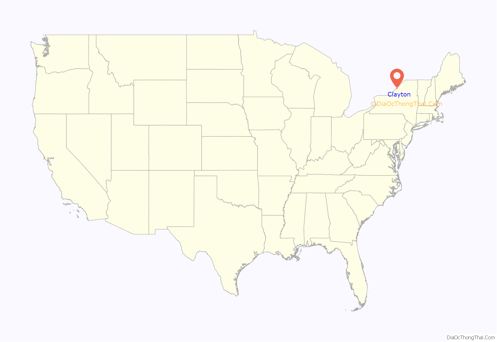
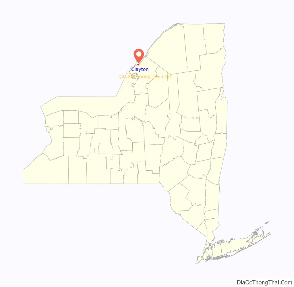
Clayton location map. Where is Clayton village?
History
The area was originally inhabited by Algonquian tribes, but they were driven out by the Iroquois. Radiocarbon dating of a nearby dig site indicated Clayton was once home to a 2-3 long house, 180 person palisade ringed habitation, circa 1470.
The community was formerly called “French Creek” and “Cornelia”. By 1853, the population was 426. Clayton incorporated as a village, by vote of its citizens, in 1872. The arrival of the railroad in 1873 marked a major turning point in the local tourist industry.
The Clayton Historic District and Capt. Simon Johnston House are listed on the National Register of Historic Places.
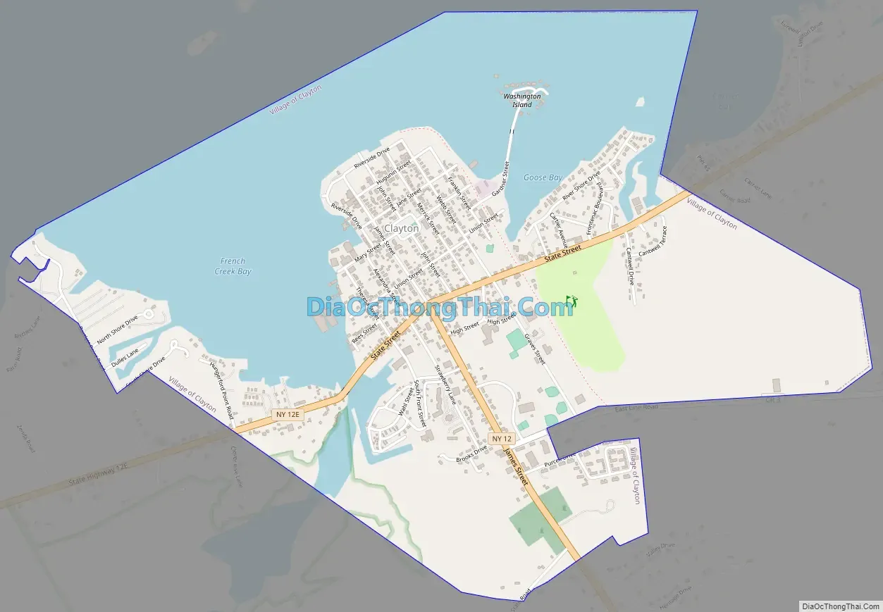
Clayton Road Map
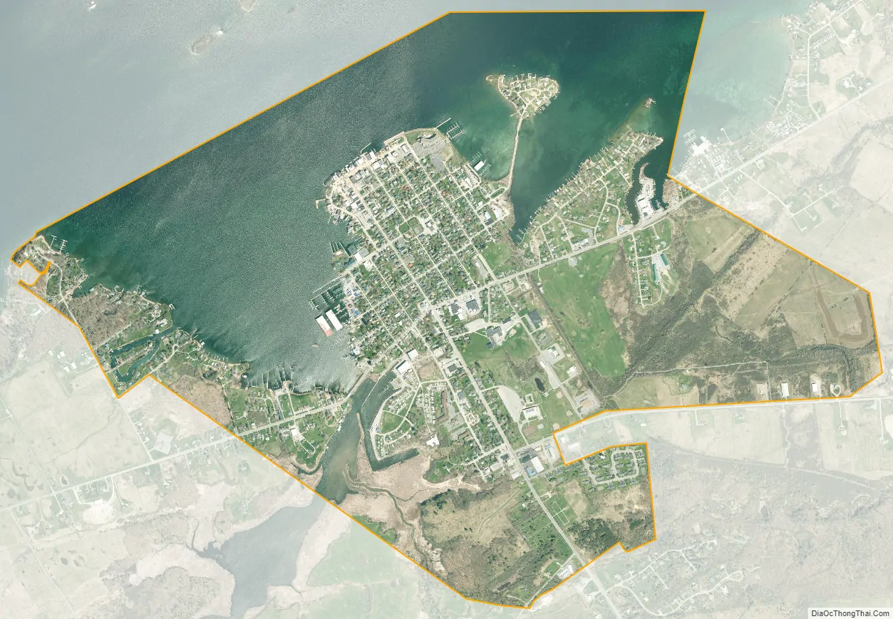
Clayton city Satellite Map
Geography
According to the United States Census Bureau, the village has a total area of 2.6 square miles (6.7 km), of which 1.6 square miles (4.2 km) are land and 0.97 square miles (2.5 km), or 37.62%, are water. Clayton is located on the south bank of the St. Lawrence River. To the west is French Creek Bay where French Creek enters the St. Lawrence. Opposite the village in the St. Lawrence is Grindstone Island, one of the large islands of the Thousand Islands.
New York State Route 12 intersects New York State Route 12E in the village. NY-12 leads south 22 miles (35 km) to Watertown, the Jefferson county seat, and northeast parallel to the St. Lawrence River 11 miles (18 km) to Alexandria Bay. NY-12E leads southwest along the St. Lawrence 15 miles (24 km) to Cape Vincent.
See also
Map of New York State and its subdivision:- Albany
- Allegany
- Bronx
- Broome
- Cattaraugus
- Cayuga
- Chautauqua
- Chemung
- Chenango
- Clinton
- Columbia
- Cortland
- Delaware
- Dutchess
- Erie
- Essex
- Franklin
- Fulton
- Genesee
- Greene
- Hamilton
- Herkimer
- Jefferson
- Kings
- Lake Ontario
- Lewis
- Livingston
- Madison
- Monroe
- Montgomery
- Nassau
- New York
- Niagara
- Oneida
- Onondaga
- Ontario
- Orange
- Orleans
- Oswego
- Otsego
- Putnam
- Queens
- Rensselaer
- Richmond
- Rockland
- Saint Lawrence
- Saratoga
- Schenectady
- Schoharie
- Schuyler
- Seneca
- Steuben
- Suffolk
- Sullivan
- Tioga
- Tompkins
- Ulster
- Warren
- Washington
- Wayne
- Westchester
- Wyoming
- Yates
- Alabama
- Alaska
- Arizona
- Arkansas
- California
- Colorado
- Connecticut
- Delaware
- District of Columbia
- Florida
- Georgia
- Hawaii
- Idaho
- Illinois
- Indiana
- Iowa
- Kansas
- Kentucky
- Louisiana
- Maine
- Maryland
- Massachusetts
- Michigan
- Minnesota
- Mississippi
- Missouri
- Montana
- Nebraska
- Nevada
- New Hampshire
- New Jersey
- New Mexico
- New York
- North Carolina
- North Dakota
- Ohio
- Oklahoma
- Oregon
- Pennsylvania
- Rhode Island
- South Carolina
- South Dakota
- Tennessee
- Texas
- Utah
- Vermont
- Virginia
- Washington
- West Virginia
- Wisconsin
- Wyoming


