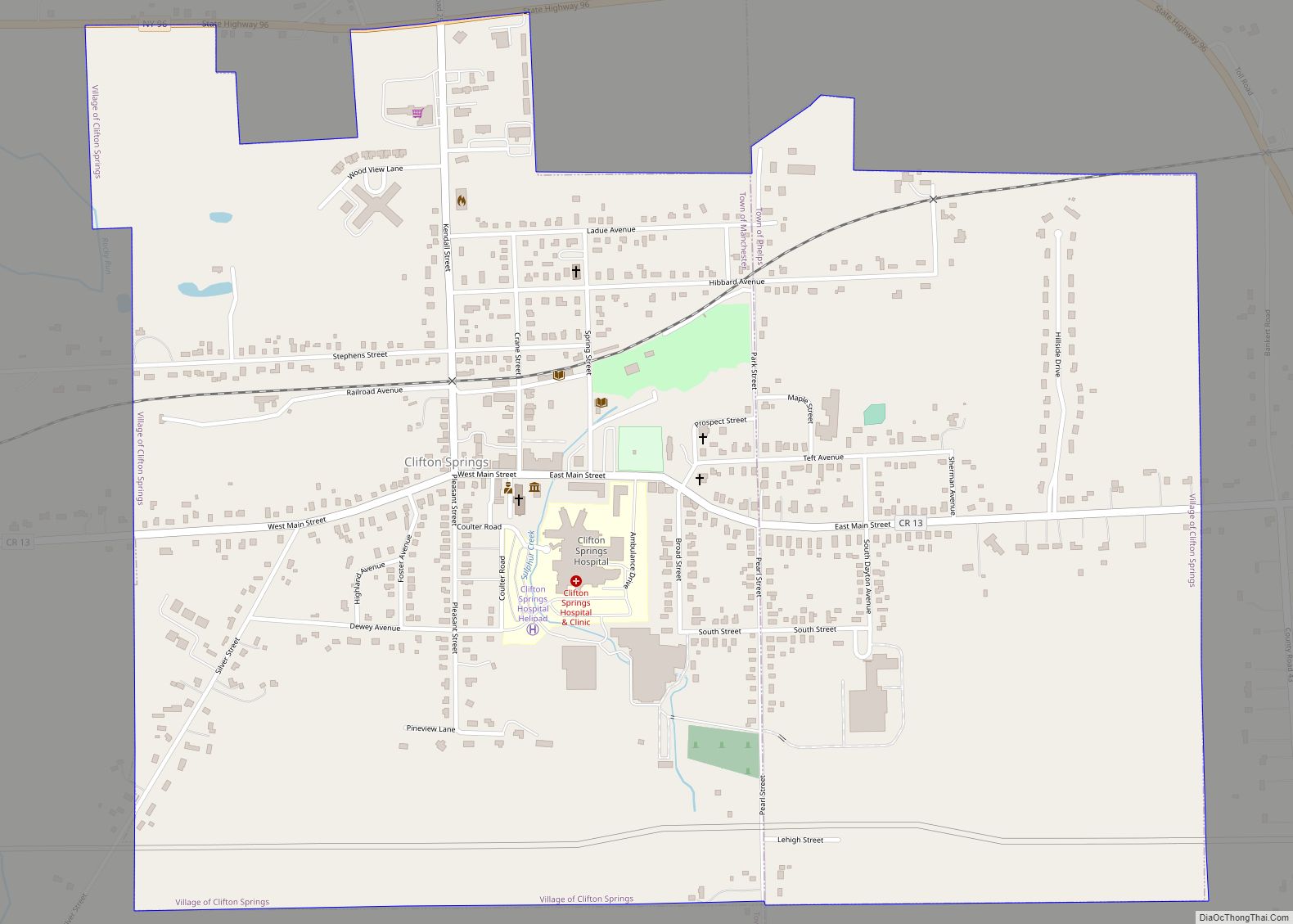
Clifton Springs is a village located in Ontario County, New York, United States. The population was 2,127 at the 2010 census. The village takes its name from local mineral springs.
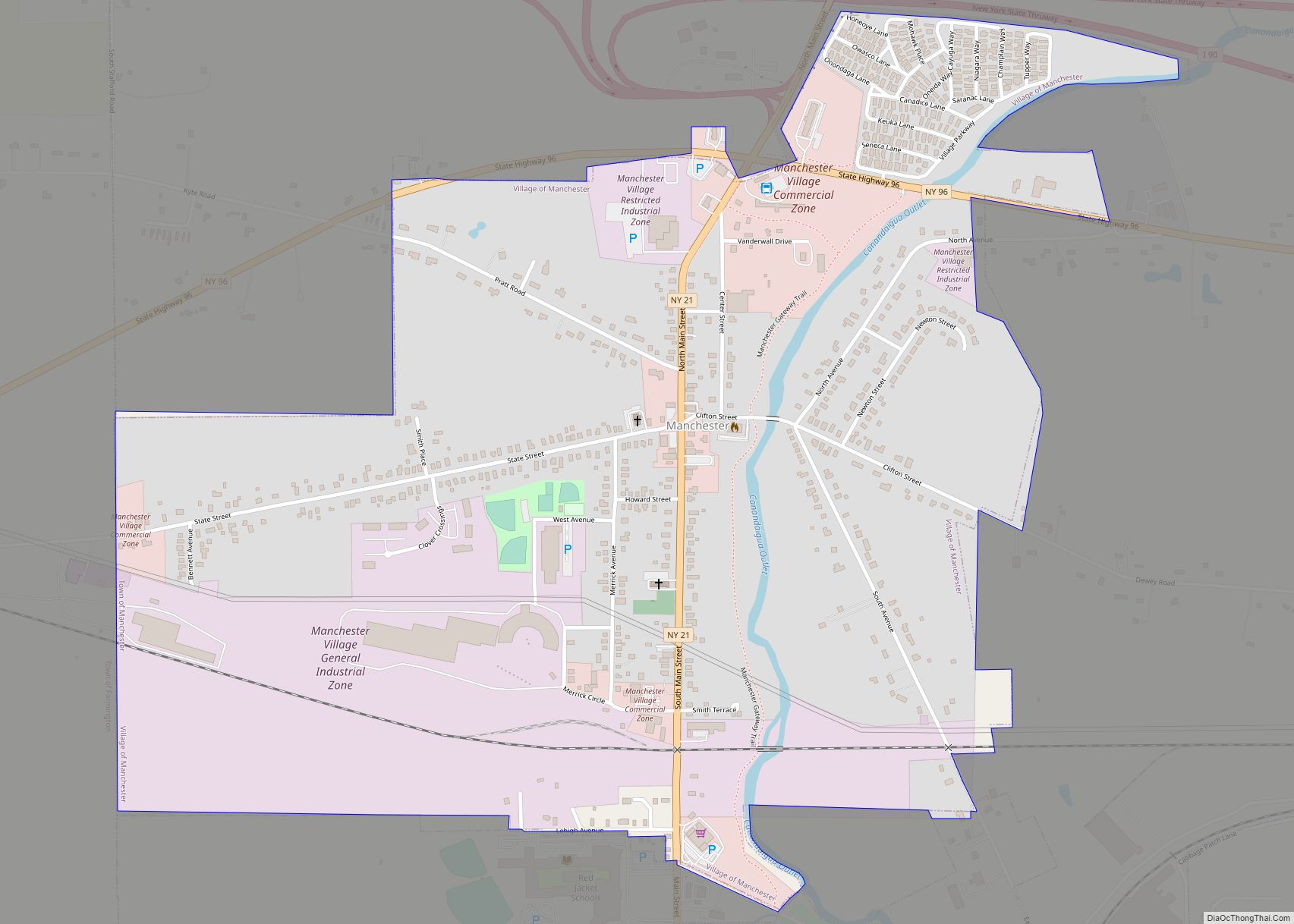
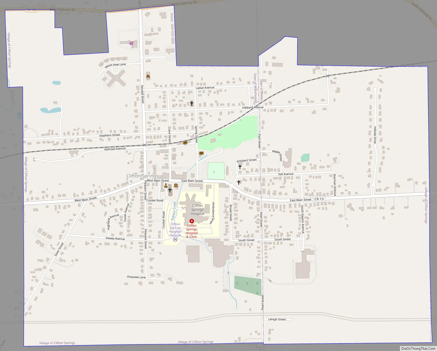
The Village of Clifton Springs is located primarily in the Town of Manchester, but the eastern part is in the Town of Phelps. The village is southeast of Rochester, NY.
| Name: | Clifton Springs village |
|---|---|
| LSAD Code: | 47 |
| LSAD Description: | village (suffix) |
| State: | New York |
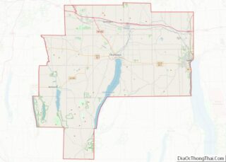
| County: | Ontario County |
| Elevation: | 577 ft (176 m) |
| Total Area: | 1.48 sq mi (3.84 km²) |
| Land Area: | 1.48 sq mi (3.84 km²) |
| Water Area: | 0.00 sq mi (0.00 km²) |
| Total Population: | 2,209 |
| Population Density: | 1,490.55/sq mi (575.31/km²) |
| ZIP code: | 14432 |
| Area code: | 315 and 680 |
| FIPS code: | 3616375 |
| GNISfeature ID: | 0970014 |
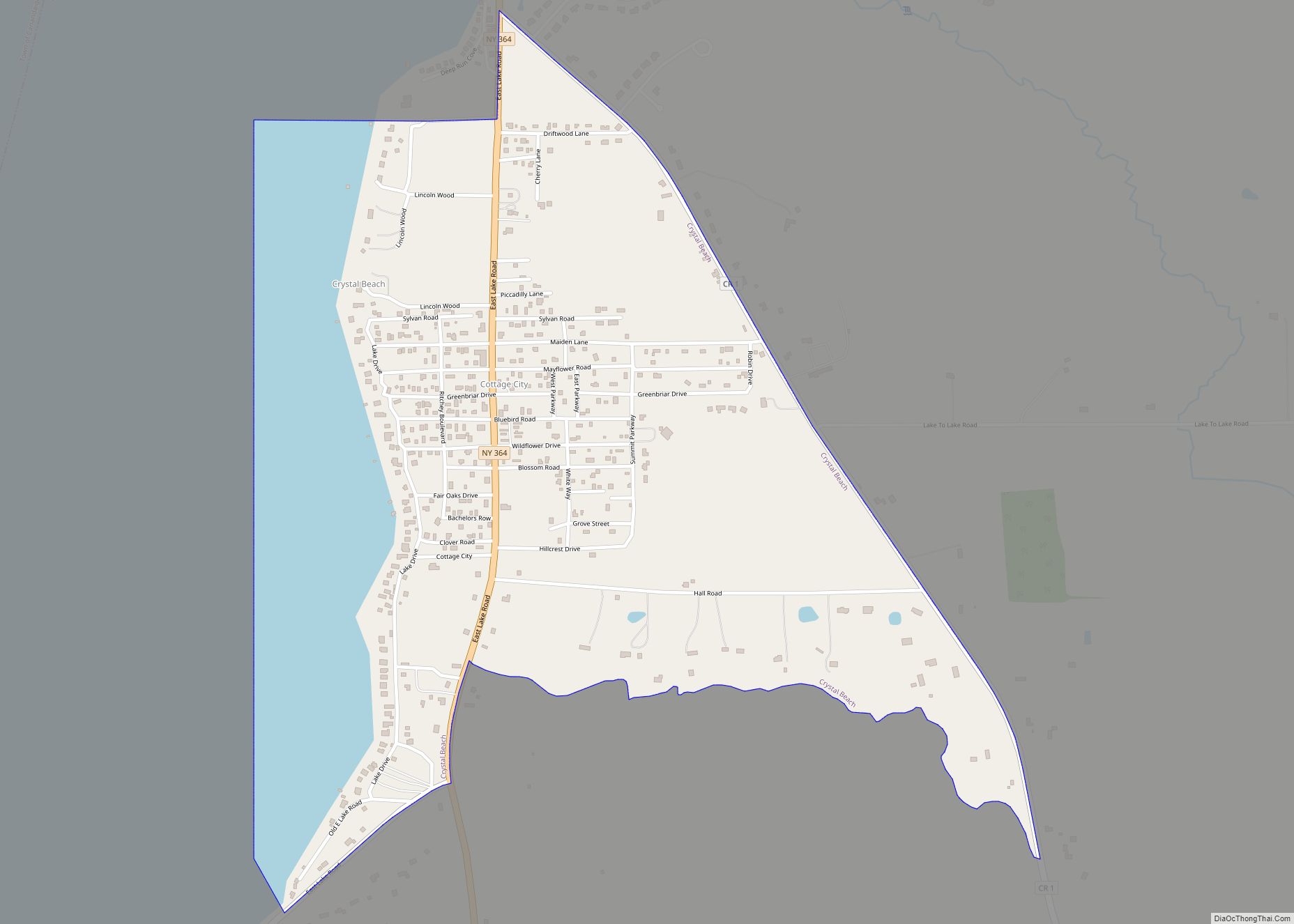
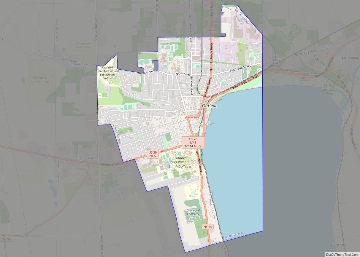
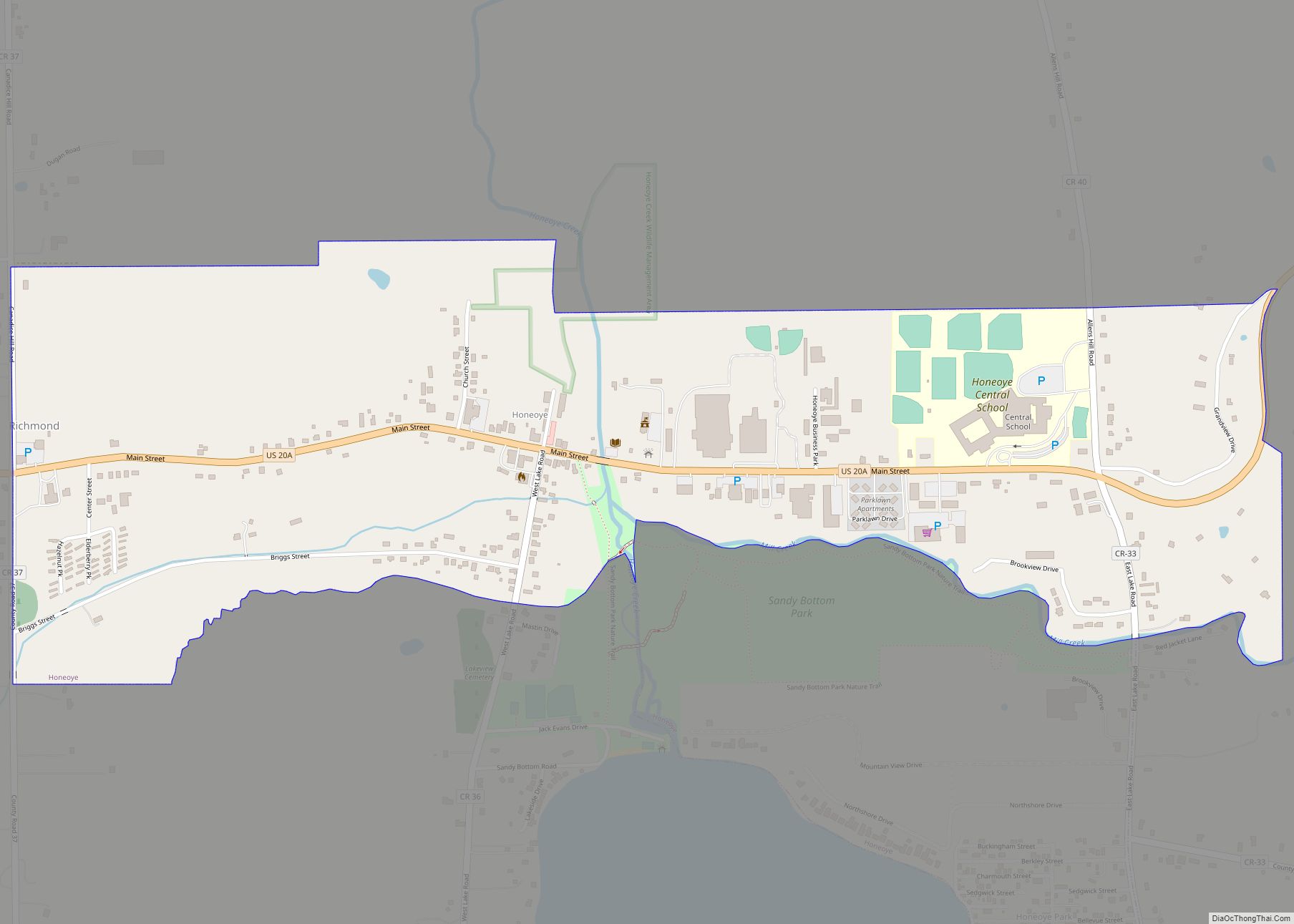
Online Interactive Map
Click on ![]() to view map in "full screen" mode.
to view map in "full screen" mode.
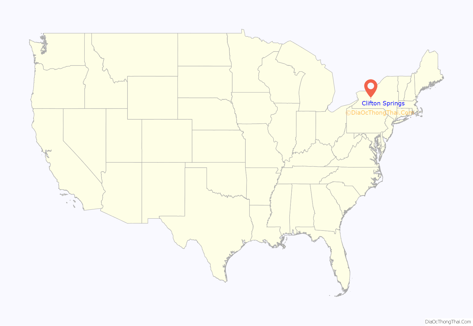
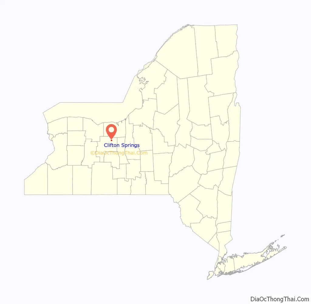
Clifton Springs location map. Where is Clifton Springs village?
History
The location was first settled around 1801, and much of the early community endeavors exploited the sulfur springs as a health spa. The village was incorporated in 1859.
The development of the area was slow until 1849, when Dr. Henry Foster came looking for a place to begin his water cure. Modern medicine was in its early stages, and it was thought that the sulphur waters together with a strong religious revival could restore many to active and useful lives. Sulphur Springs, as it was once called, was well known throughout the eastern part of the US because of this. Over the years, thousands of people came to enjoy the benefits of the water and rest and regain their health. Some famous people who visited the area were Elvis Presley, and Bette Davis’ daughter. The area around the former sanitarium was designated the Clifton Springs Sanitarium Historic District and listed on the National Register of Historic Places in 1990.
In March, 1917, a local convalescent and architect George Edward Barton assembled a small group of authorities from around the country to discuss the benefits of the “work cure”, or the value of activity in promoting recovery. During that meeting, the profession of occupational therapy was born with the incorporation of what is now The American Occupational Therapy Association. In 1968, a plaque was placed on Mr. Barton’s home, known as Consolation House, to commemorate the 50th anniversary of the profession. Between 1915-1921, Barton maintained Consolation House as a convalescent home employing therapeutic activity.
Today, there has been a revival of interest in bathing at mineral springs. The Clifton Springs Hospital & Clinic has devoted an entire wing to this treatment.
Modern day Clifton Springs offers an excellent school system, modern hospital, YMCA, Chamber of Commerce, Rotary Club and numerous other organizations, country club/golf course, national bank, library, senior citizen community, volunteer fire department, a park area, tennis courts, a skate park, shaded streets, a large manufacturing firm, and an active business section. In the summer months, the town participates in a business program dubbed “Super Sundays.”
The Phelps-Clifton Springs Central School District serves the students who live in Clifton Springs. The school district, also known as Midlakes, serves the students of the area. The current Superintendent is Matt Stickles.
The Oliver Warner Farmstead was listed on the National Register of Historic Places in 1988.
Clifton Springs Road Map
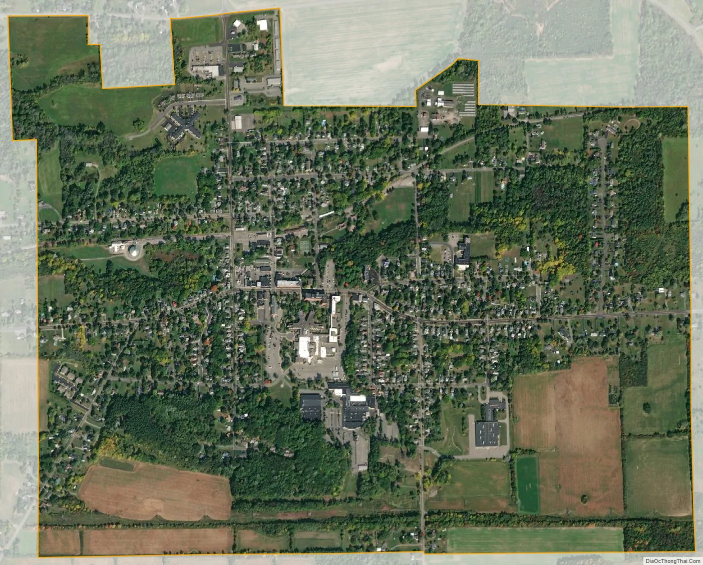
Clifton Springs city Satellite Map
Geography
Clifton Springs is located at 42°57′44″N 77°8′15″W / 42.96222°N 77.13750°W / 42.96222; -77.13750 (42.962310, -77.137362).
According to the United States Census Bureau, the village has a total area of 1.4 square miles (3.6 km), all land.
Clifton Springs is immediately south of both the New York State Thruway (Interstate 90) and New York State Route 96. County Road 13 passes through the village as Main Street.
See also
Map of New York State and its subdivision:- Albany
- Allegany
- Bronx
- Broome
- Cattaraugus
- Cayuga
- Chautauqua
- Chemung
- Chenango
- Clinton
- Columbia
- Cortland
- Delaware
- Dutchess
- Erie
- Essex
- Franklin
- Fulton
- Genesee
- Greene
- Hamilton
- Herkimer
- Jefferson
- Kings
- Lake Ontario
- Lewis
- Livingston
- Madison
- Monroe
- Montgomery
- Nassau
- New York
- Niagara
- Oneida
- Onondaga
- Ontario
- Orange
- Orleans
- Oswego
- Otsego
- Putnam
- Queens
- Rensselaer
- Richmond
- Rockland
- Saint Lawrence
- Saratoga
- Schenectady
- Schoharie
- Schuyler
- Seneca
- Steuben
- Suffolk
- Sullivan
- Tioga
- Tompkins
- Ulster
- Warren
- Washington
- Wayne
- Westchester
- Wyoming
- Yates
- Alabama
- Alaska
- Arizona
- Arkansas
- California
- Colorado
- Connecticut
- Delaware
- District of Columbia
- Florida
- Georgia
- Hawaii
- Idaho
- Illinois
- Indiana
- Iowa
- Kansas
- Kentucky
- Louisiana
- Maine
- Maryland
- Massachusetts
- Michigan
- Minnesota
- Mississippi
- Missouri
- Montana
- Nebraska
- Nevada
- New Hampshire
- New Jersey
- New Mexico
- New York
- North Carolina
- North Dakota
- Ohio
- Oklahoma
- Oregon
- Pennsylvania
- Rhode Island
- South Carolina
- South Dakota
- Tennessee
- Texas
- Utah
- Vermont
- Virginia
- Washington
- West Virginia
- Wisconsin
- Wyoming