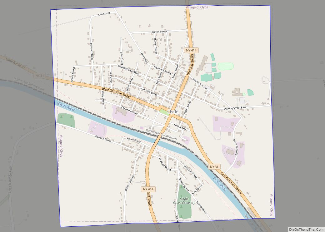
Clyde is a village in Wayne County, New York, United States. The population was 2,093 at the 2010 census. It was named after the River Clyde, in Scotland, and the village sits on the Clyde River, a tributary of the Seneca River.
The Village of Clyde is in the town of Town of Galen and is northeast of Geneva, New York. Clyde is approximately equidistant between the cities of Rochester and Syracuse.
| Name: | Clyde village |
|---|---|
| LSAD Code: | 47 |
| LSAD Description: | village (suffix) |
| State: | New York |
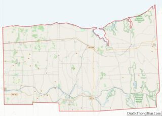
| County: | Wayne County |
| Incorporated: | May 2, 1835 (1835-05-02) |
| Elevation: | 400 ft (122 m) |
| Total Area: | 2.26 sq mi (5.85 km²) |
| Land Area: | 2.20 sq mi (5.69 km²) |
| Water Area: | 0.06 sq mi (0.15 km²) |
| Total Population: | 2,171 |
| Population Density: | 987.72/sq mi (381.33/km²) |
| ZIP code: | 14433 |
| Area code: | 315 |
| FIPS code: | 3616573 |
| GNISfeature ID: | 0946941 |
| Website: | http://www.clydeny.com |
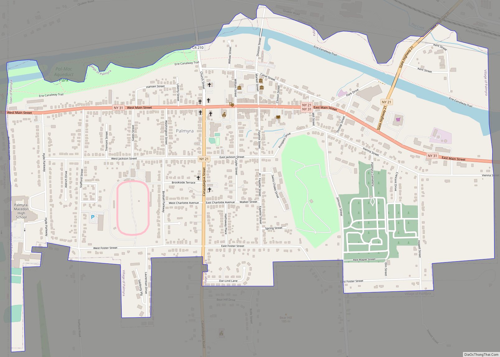
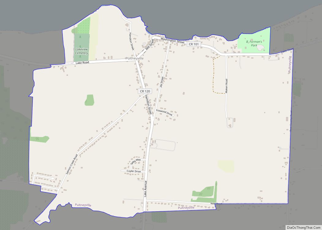
Online Interactive Map
Click on ![]() to view map in "full screen" mode.
to view map in "full screen" mode.
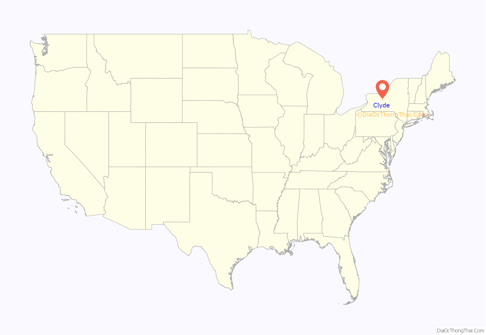
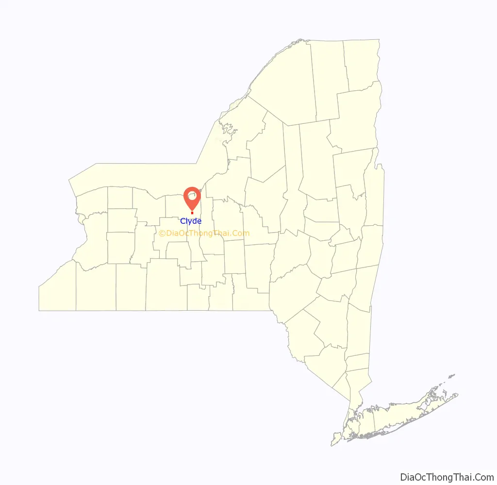
Clyde location map. Where is Clyde village?
History
Prior to the French and Indian War, a French trading post and block house was located on the site of the future village. During the American Revolution it was known for its smuggling and was called the “Blockhouse.”
The Smith-Ely Mansion and U.S. Post Office are listed on the National Register of Historic Places.
Civil War
During the American Civil War, men from Clyde served in B Company of the 111th New York Volunteer Infantry, their last company commander of the war being Philip I. Lape. The regiment commander was Colonel Clinton D. MacDougall.
The 111th New York was present at, among others, the Battle of Gettysburg, the Battle of the Wilderness, the Battle of Cold Harbor and the Appomattox Campaign. During the Battle of Gettysburg, the 111th took the second highest casualties as a regiment of the entire battle.
Throughout the war, the regiment took a total of 1803 casualties, of which 158 were KIA, 557 were WIA (490 of whom recovered to some extent), and 1088 MIA.
Clyde is part of the Erie Canalway National Heritage Corridor.
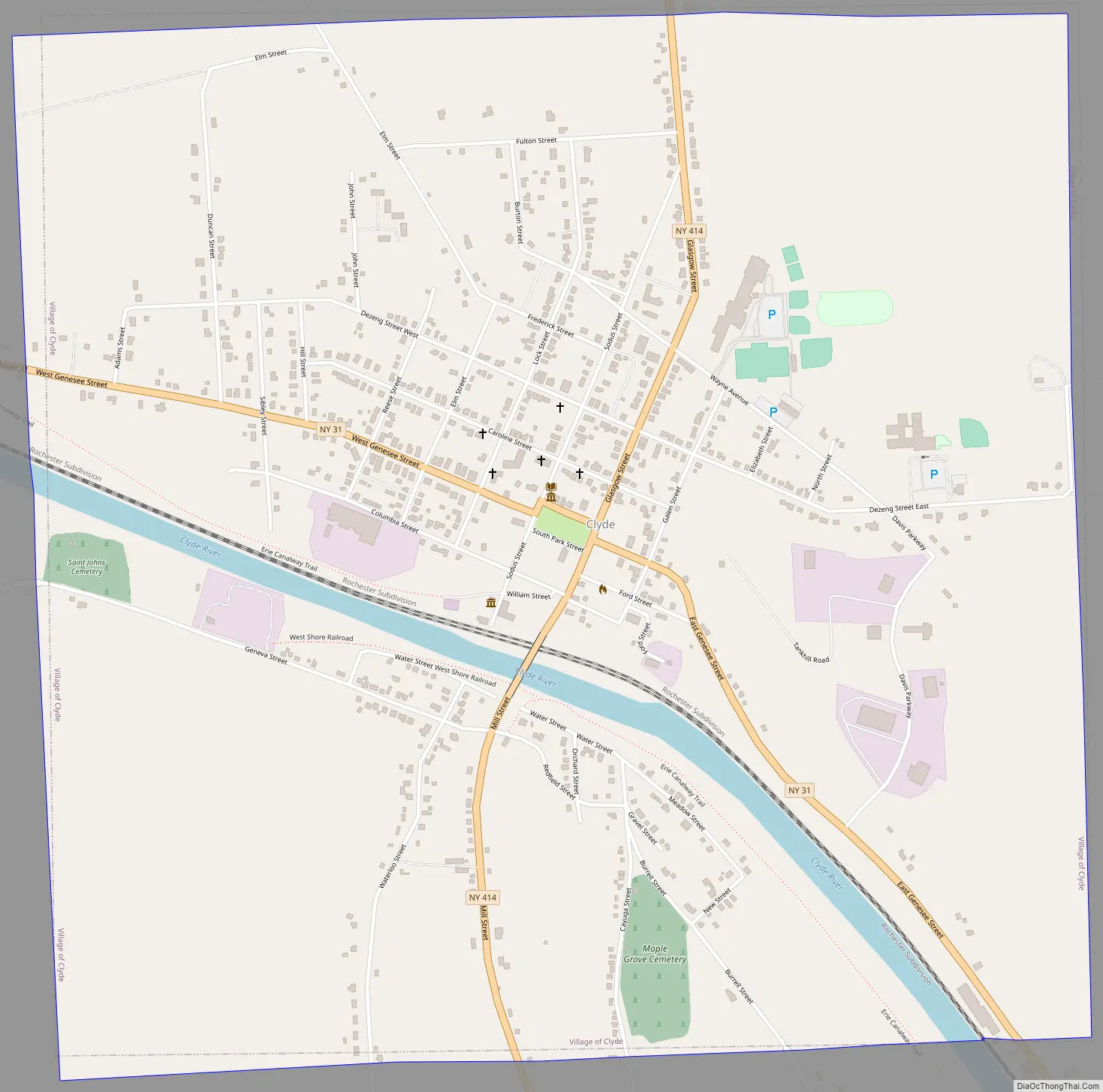
Clyde Road Map
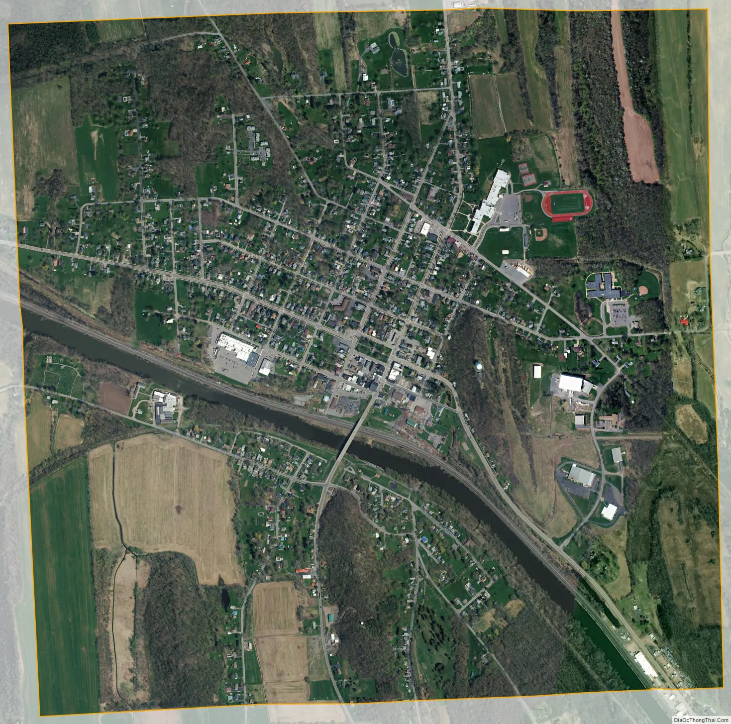
Clyde city Satellite Map
Geography
Clyde is located at 43°5′3″N 76°52′13″W / 43.08417°N 76.87028°W / 43.08417; -76.87028 (43.084232, -76.870297).
According to the United States Census Bureau, the village has a total area of 2.3 square miles (6.0 km), of which 2.2 square miles (5.7 km) is land and 0.1 square miles (0.26 km) (2.21%) is water.
Clyde is an Erie Canal village. The Clyde River was incorporated into the canal structure. The route of the canal through village was changed during canal renovations.
The village is at the intersection of state routes 31 and 414.
See also
Map of New York State and its subdivision:- Albany
- Allegany
- Bronx
- Broome
- Cattaraugus
- Cayuga
- Chautauqua
- Chemung
- Chenango
- Clinton
- Columbia
- Cortland
- Delaware
- Dutchess
- Erie
- Essex
- Franklin
- Fulton
- Genesee
- Greene
- Hamilton
- Herkimer
- Jefferson
- Kings
- Lake Ontario
- Lewis
- Livingston
- Madison
- Monroe
- Montgomery
- Nassau
- New York
- Niagara
- Oneida
- Onondaga
- Ontario
- Orange
- Orleans
- Oswego
- Otsego
- Putnam
- Queens
- Rensselaer
- Richmond
- Rockland
- Saint Lawrence
- Saratoga
- Schenectady
- Schoharie
- Schuyler
- Seneca
- Steuben
- Suffolk
- Sullivan
- Tioga
- Tompkins
- Ulster
- Warren
- Washington
- Wayne
- Westchester
- Wyoming
- Yates
- Alabama
- Alaska
- Arizona
- Arkansas
- California
- Colorado
- Connecticut
- Delaware
- District of Columbia
- Florida
- Georgia
- Hawaii
- Idaho
- Illinois
- Indiana
- Iowa
- Kansas
- Kentucky
- Louisiana
- Maine
- Maryland
- Massachusetts
- Michigan
- Minnesota
- Mississippi
- Missouri
- Montana
- Nebraska
- Nevada
- New Hampshire
- New Jersey
- New Mexico
- New York
- North Carolina
- North Dakota
- Ohio
- Oklahoma
- Oregon
- Pennsylvania
- Rhode Island
- South Carolina
- South Dakota
- Tennessee
- Texas
- Utah
- Vermont
- Virginia
- Washington
- West Virginia
- Wisconsin
- Wyoming