Cold Spring Harbor is a hamlet and census-designated place (CDP) in the Town of Huntington, in Suffolk County, on the North Shore of Long Island in New York. As of the 2010 United States census, the CDP population was 5,070.
| Name: | Cold Spring Harbor CDP |
|---|---|
| LSAD Code: | 57 |
| LSAD Description: | CDP (suffix) |
| State: | New York |
| County: | Suffolk County |
| Elevation: | 33 ft (10 m) |
| Total Area: | 3.58 sq mi (9.28 km²) |
| Land Area: | 3.41 sq mi (8.84 km²) |
| Water Area: | 0.17 sq mi (0.44 km²) |
| Total Population: | 3,064 |
| Population Density: | 898.01/sq mi (346.70/km²) |
| Area code: | 631, 934 |
| FIPS code: | 3616958 |
| GNISfeature ID: | 0947073 |
| Website: | www.coldspringharborvillage.org |
Online Interactive Map
Click on ![]() to view map in "full screen" mode.
to view map in "full screen" mode.
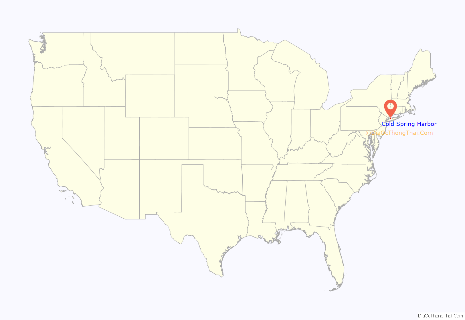
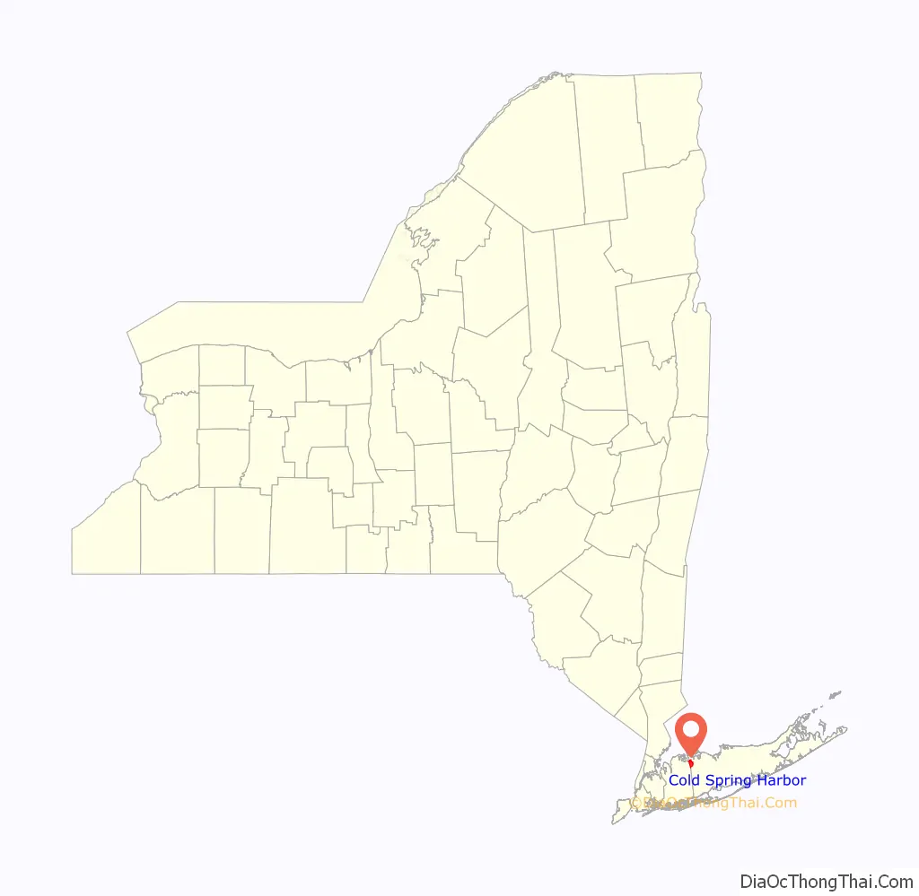
Cold Spring Harbor location map. Where is Cold Spring Harbor CDP?
History
Cold Spring Harbor was named after the naturally cold freshwater springs that flow in the area. Its economy mainly tied to milling and port activities, it rose in prominence as a whaling community in the mid-nineteenth century. After the decline of whaling in the 1860s, it became a resort town with several hotels. In the 20th century it became known as the site of Cold Spring Harbor Laboratory, although the laboratory itself is located in the adjacent village of Laurel Hollow in Nassau County, which was called Cold Spring before incorporation.
Today it is primarily a bedroom community of New York City, with a small central business area running along Route 25A, and is home to many educational and cultural organizations: the Cold Spring Harbor Whaling Museum, the Cold Spring Harbor Fish Hatchery and Aquarium (also in Laurel Hollow), Dolan DNA Learning Center, the Uplands Farm Sanctuary (home of The Nature Conservancy’s Long Island chapter), and a museum exhibition gallery run by Preservation Long Island.
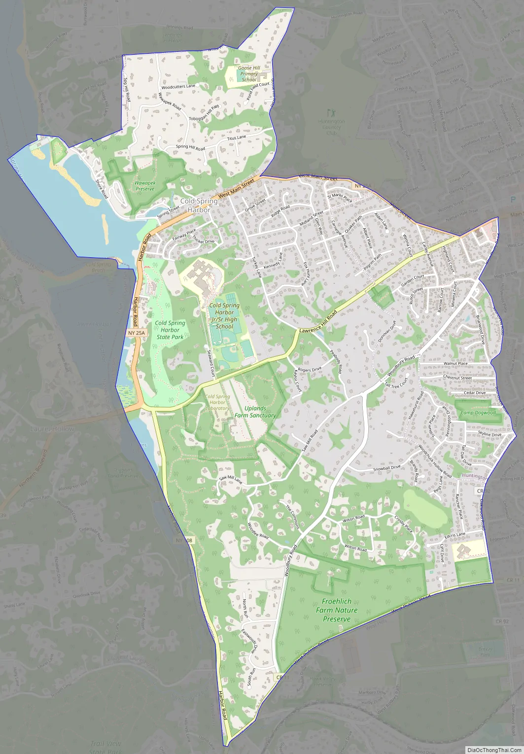
Cold Spring Harbor Road Map
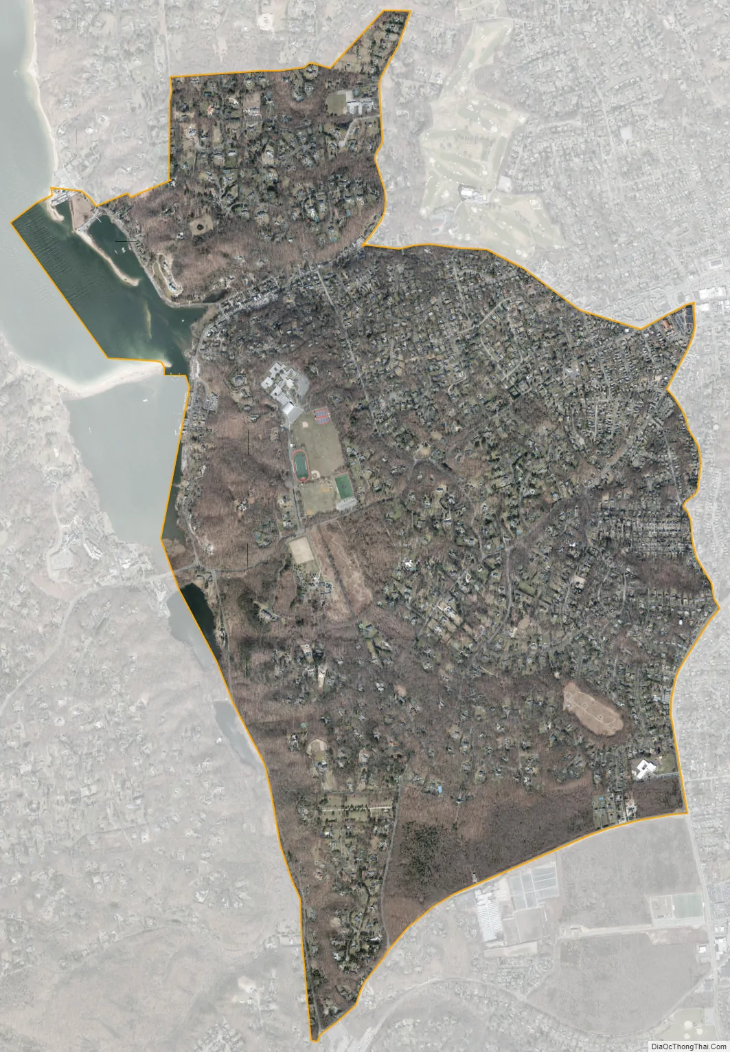
Cold Spring Harbor city Satellite Map
Geography
According to the United States Census Bureau, the CDP has a total area of 3.9 square miles (10 km), of which 3.7 square miles (9.6 km) is land and 0.2 square miles (0.52 km), or 4.86%, is water.
See also
Map of New York State and its subdivision:- Albany
- Allegany
- Bronx
- Broome
- Cattaraugus
- Cayuga
- Chautauqua
- Chemung
- Chenango
- Clinton
- Columbia
- Cortland
- Delaware
- Dutchess
- Erie
- Essex
- Franklin
- Fulton
- Genesee
- Greene
- Hamilton
- Herkimer
- Jefferson
- Kings
- Lake Ontario
- Lewis
- Livingston
- Madison
- Monroe
- Montgomery
- Nassau
- New York
- Niagara
- Oneida
- Onondaga
- Ontario
- Orange
- Orleans
- Oswego
- Otsego
- Putnam
- Queens
- Rensselaer
- Richmond
- Rockland
- Saint Lawrence
- Saratoga
- Schenectady
- Schoharie
- Schuyler
- Seneca
- Steuben
- Suffolk
- Sullivan
- Tioga
- Tompkins
- Ulster
- Warren
- Washington
- Wayne
- Westchester
- Wyoming
- Yates
- Alabama
- Alaska
- Arizona
- Arkansas
- California
- Colorado
- Connecticut
- Delaware
- District of Columbia
- Florida
- Georgia
- Hawaii
- Idaho
- Illinois
- Indiana
- Iowa
- Kansas
- Kentucky
- Louisiana
- Maine
- Maryland
- Massachusetts
- Michigan
- Minnesota
- Mississippi
- Missouri
- Montana
- Nebraska
- Nevada
- New Hampshire
- New Jersey
- New Mexico
- New York
- North Carolina
- North Dakota
- Ohio
- Oklahoma
- Oregon
- Pennsylvania
- Rhode Island
- South Carolina
- South Dakota
- Tennessee
- Texas
- Utah
- Vermont
- Virginia
- Washington
- West Virginia
- Wisconsin
- Wyoming


